Date of Observation: 04/09/2023
Name: Eric Murrow
Zone: Northwest Mountains
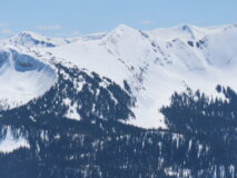
Route Description: Kebler Pass corridor to Evan Basin on Emmons and up to Scarp Ridge.
Observed avalanche activity: Yes
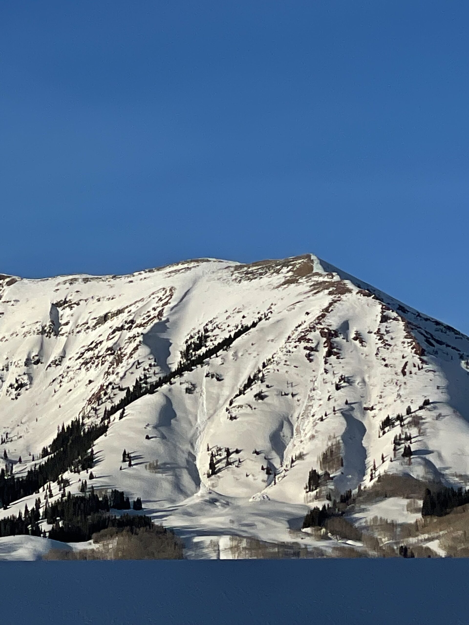
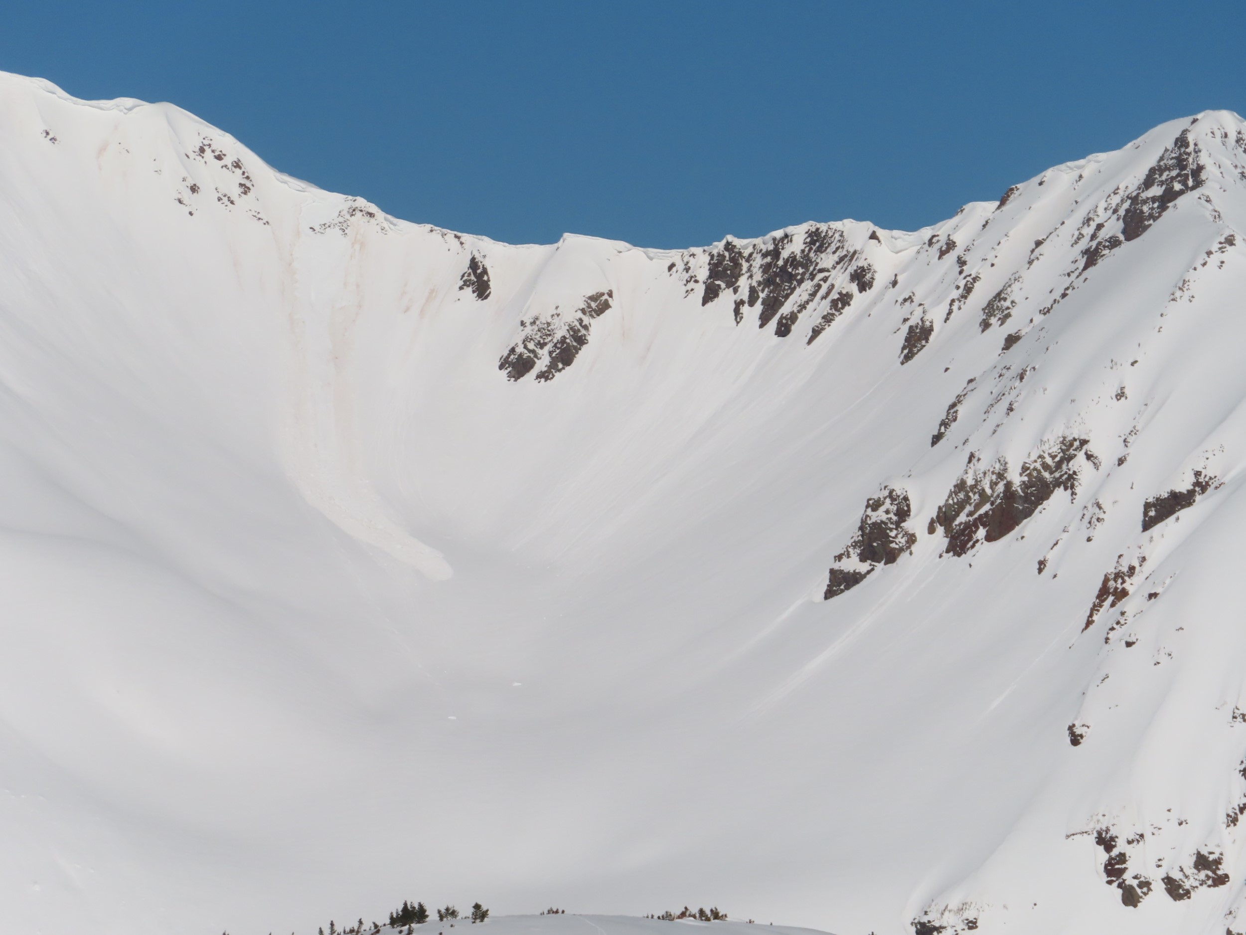
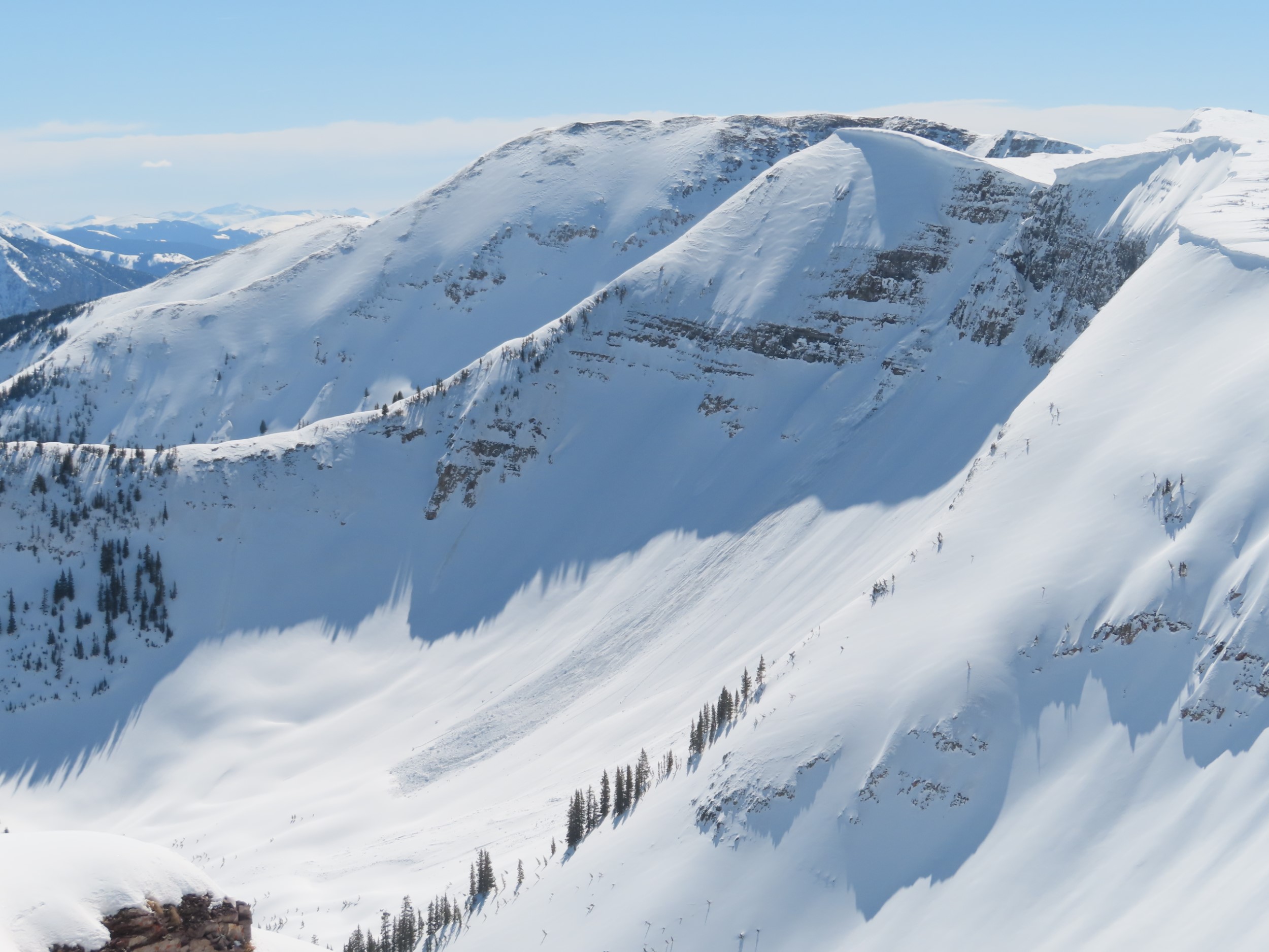
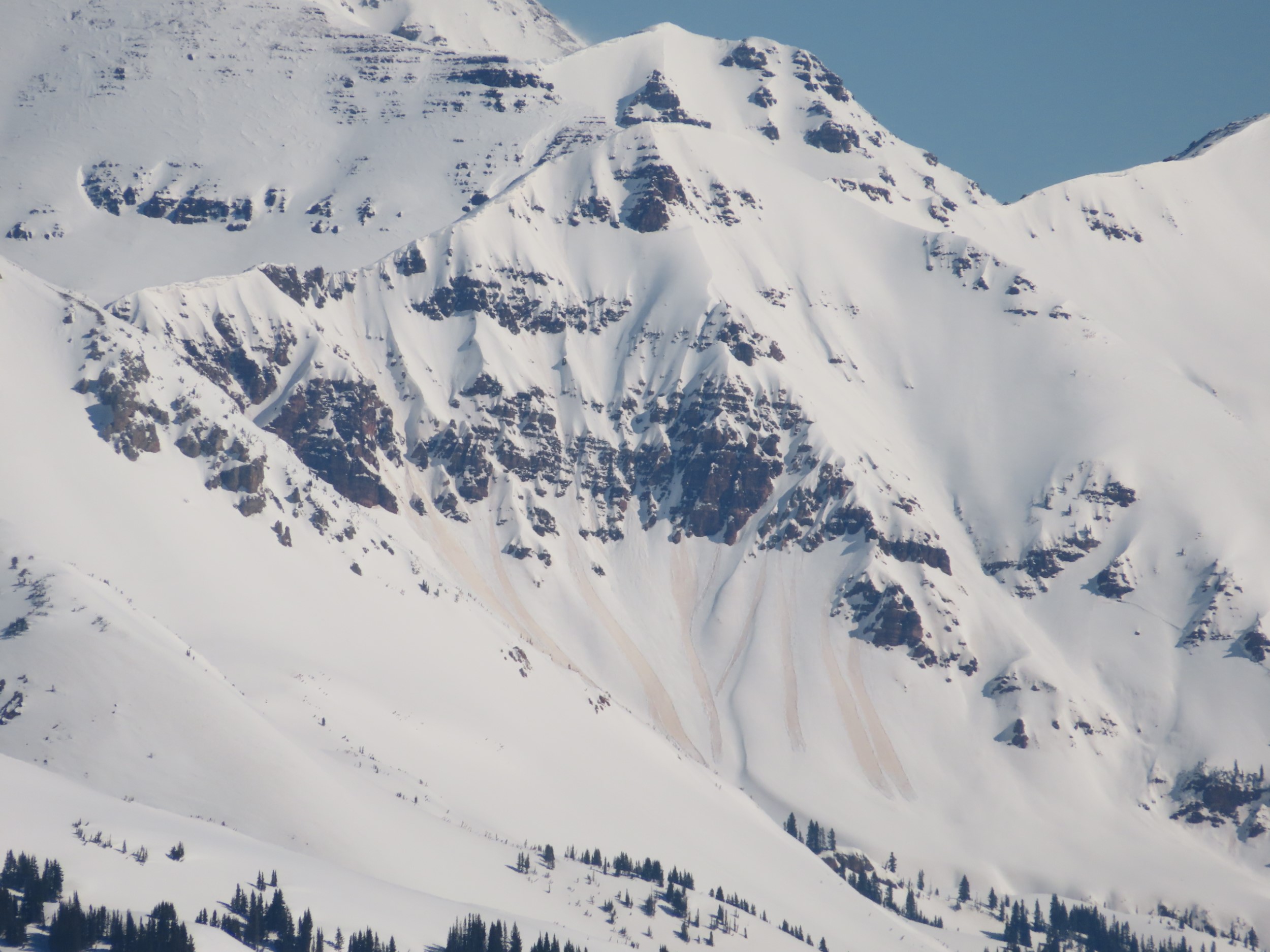
Avalanches: A recent glide avalanche on an easterly aspect of Whetstone BTL on shale slopes, a handful of small wet loose avalanches near treeline, and fresh cornice fall on Emmons along skin track ridge near treeline.
Weather: Some cloud cover in the morning gave way to mostly clear skies by noon and the afternoon. Warm temperatures below treeline, near freezing temps above treeline, and light west-northwest winds at ridgetops.
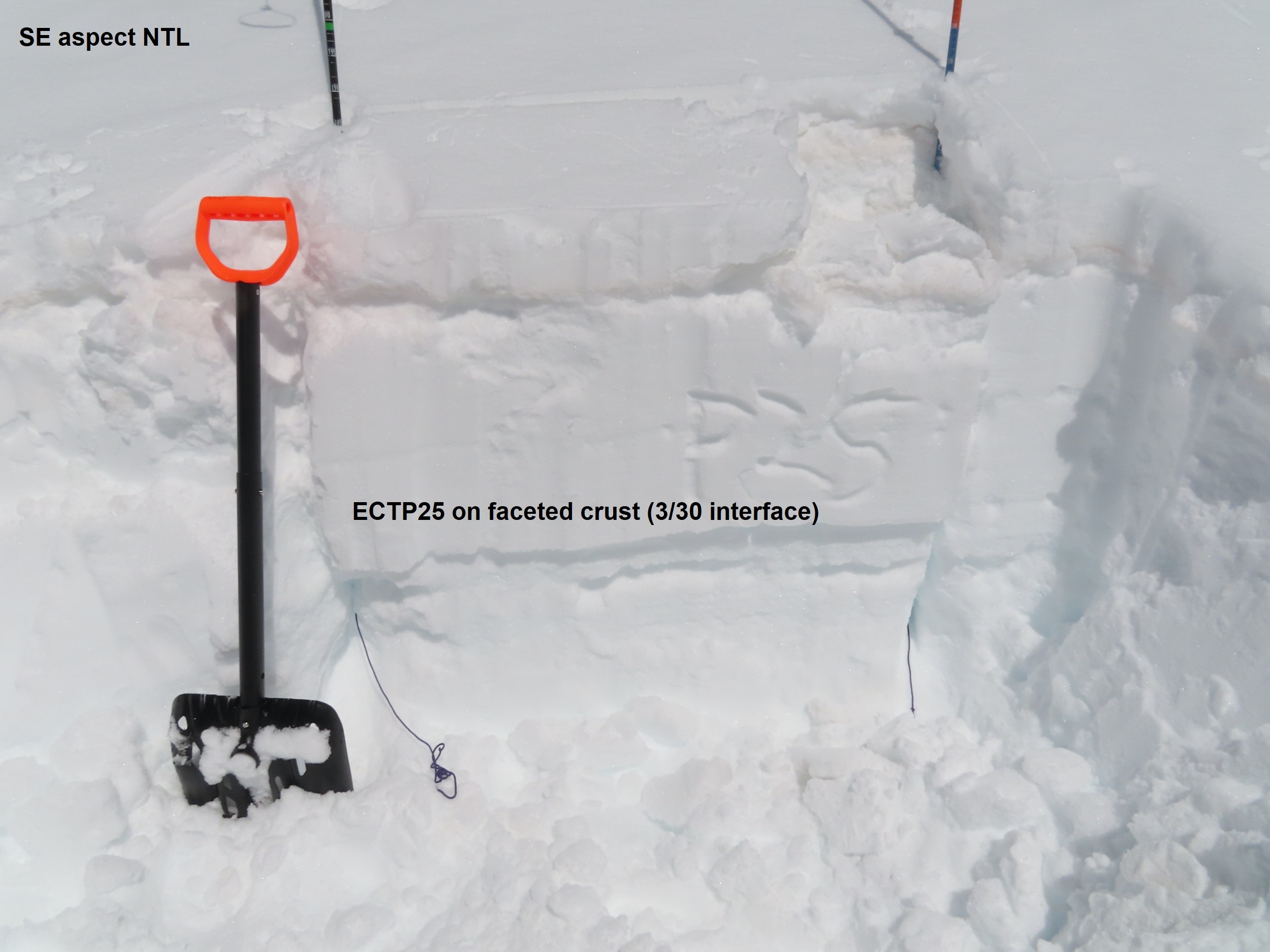
Snowpack: I traveled around in the afternoon to catch peak warming on easterly and southerly slopes. Below treeline surface crusts lost strength just after noon and I found up to a foot of wet cohesionless snow below. The snowpack strength ramps up not much below the wet snow which leaves a foot or more of wet snow on low elevation sunny slopes for loose snow avalanches to entrainment. Near treeline on an easterly slope , wet snow was limited to the top few inches making for easy, small loose avalanches. Meltwater had drained down to and was oozing through the first crust encounter beneath the dusty crust near the surface. An above treeline a southeast slope was only moist/barely wet in the top few inches. I was able to produce roller balls here, but do not think it was a Wet Loose avalanche problem yet; light winds and modest temps kept alpine sunny slopes in this area from becoming a problem.
There was a dramatic difference between water production on terrain with dirt at or very near the surface versus slopes with 6 inches or more of white snow.
Photos:
-

-
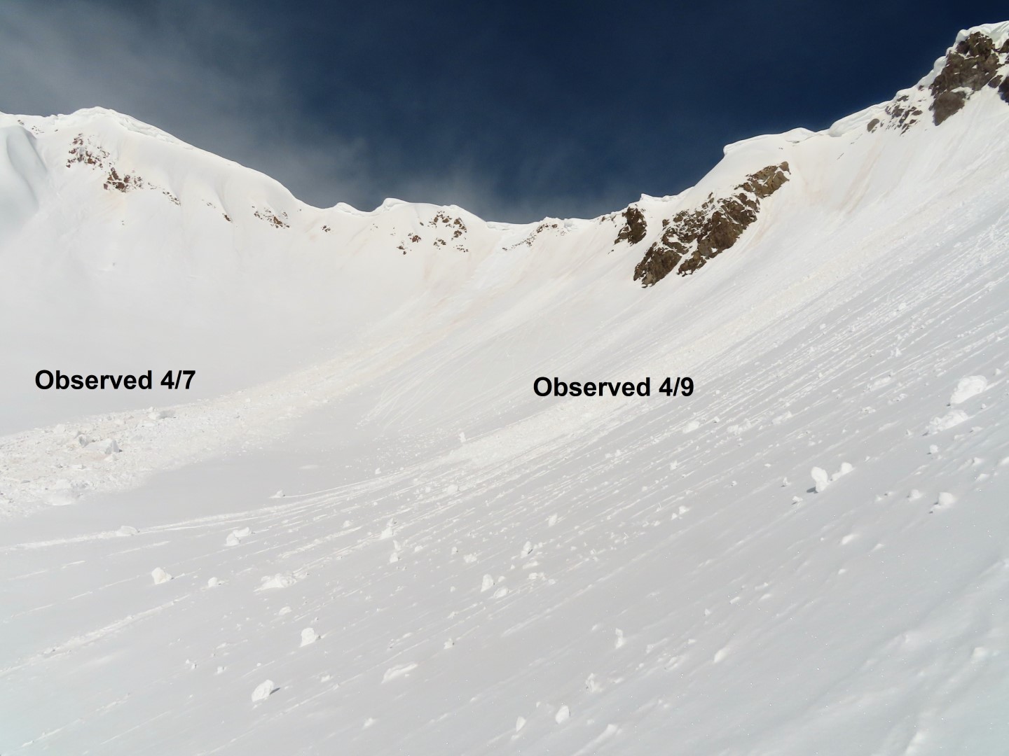
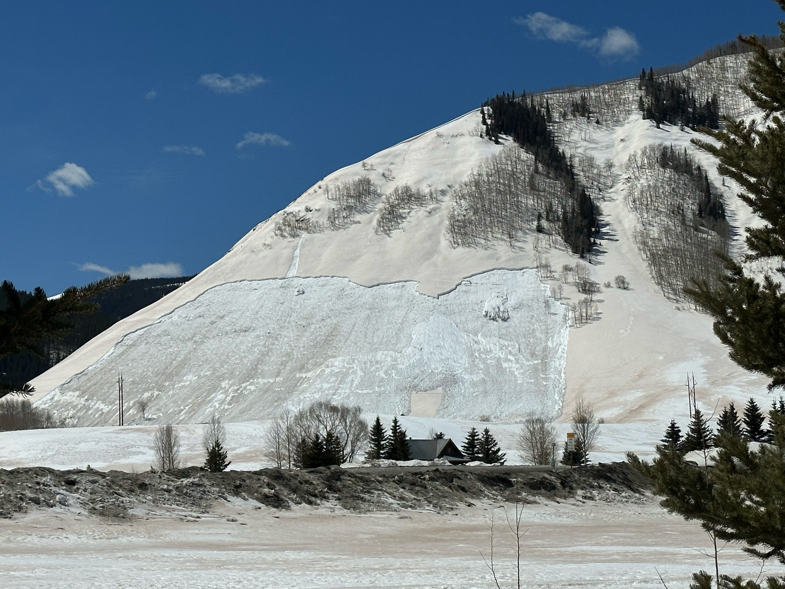
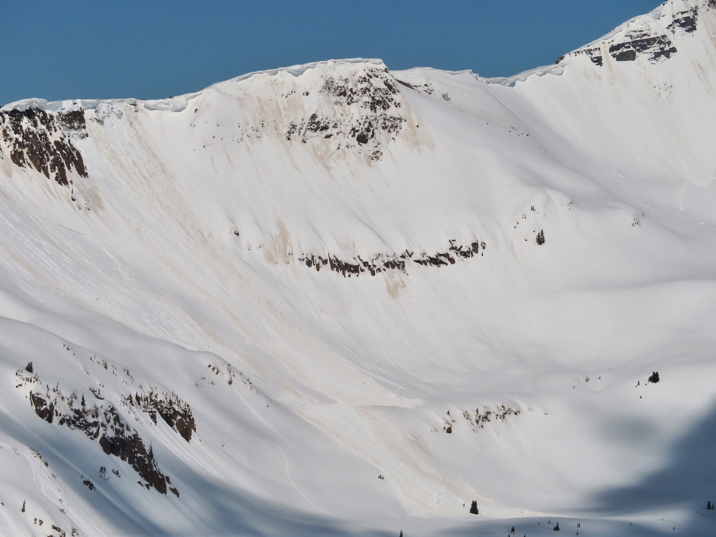
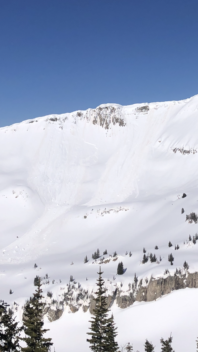
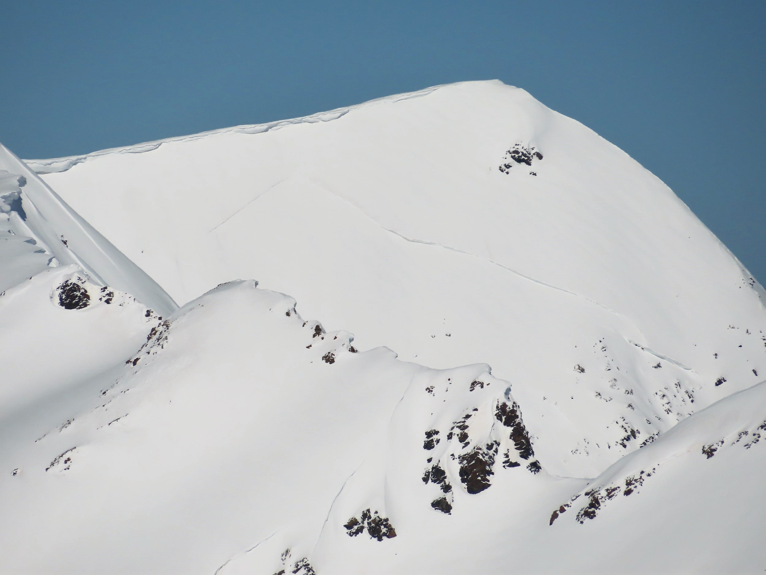
A recent Glide avalanche on a low elevation easterly slope of Whetstone. This Glide crack has been open for several weeks before failure.
-

-
Wet, cohesionless snow on a southeast below treeline slope. This image was taken at 1pm with surface crust barely hangin on, but at 330pm I checked again and it had disintegrated.
-

-
Only a few inches of wet snow at the surface on this east slope, but meltwater had drained more than a foot below the surface.
-

-
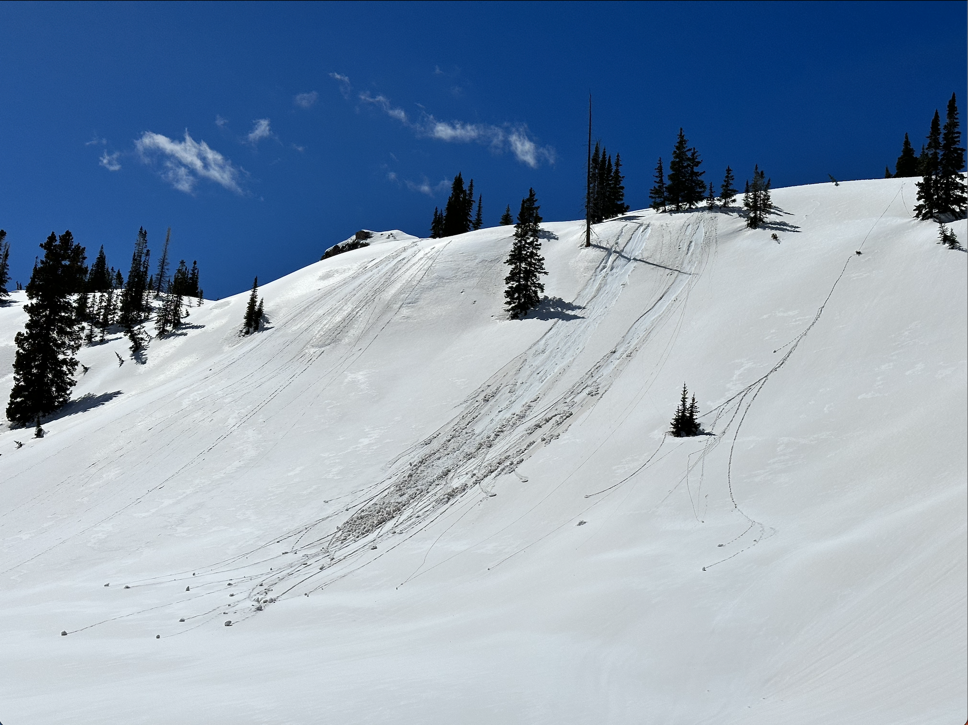
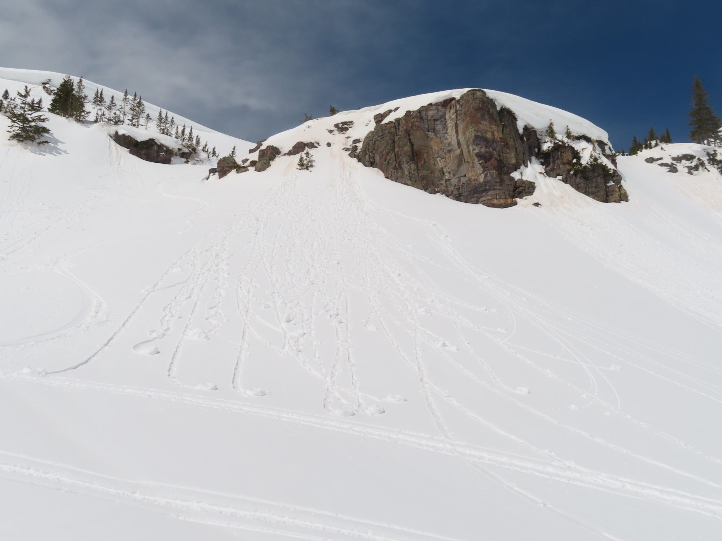
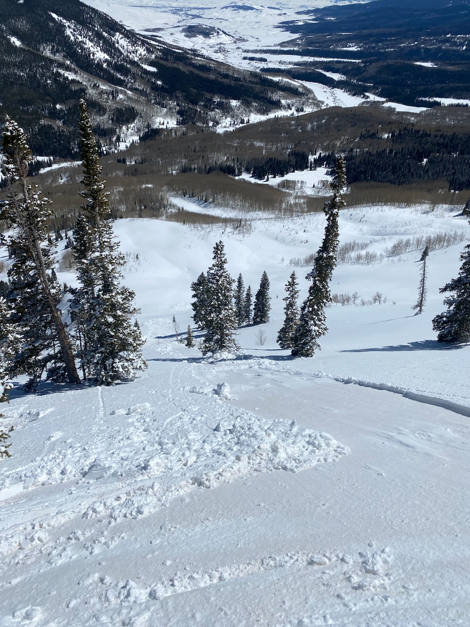
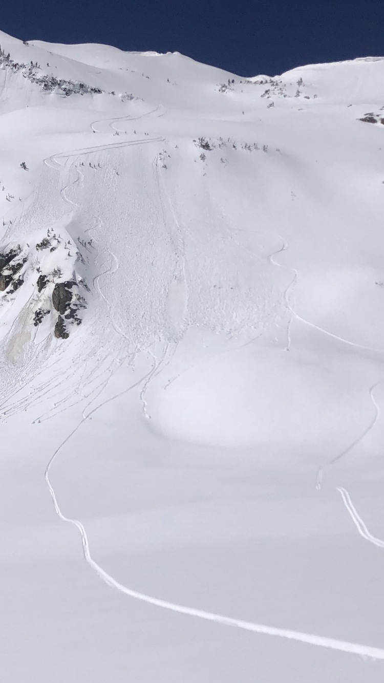
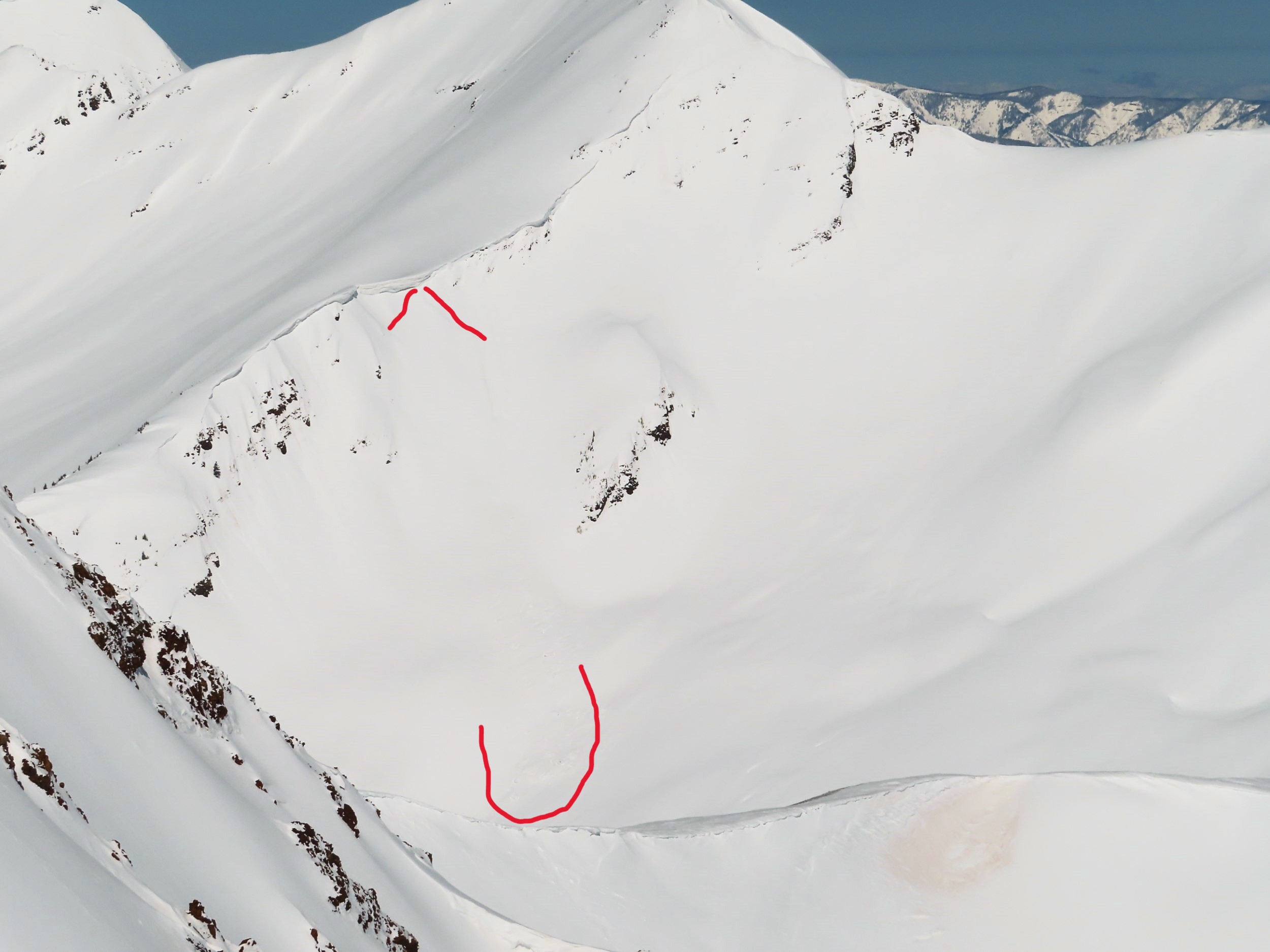
I triggered these small Wet Loose avalanches by tossing snowballs down the slope. Only the top few inches were wet and cohesionless.
-

-
This southeast slope above treeline became moist/wet just in the top few inches of snow around midday, but did not appear to warm enough for significant Wet Loose avalanche concerns.
-

-
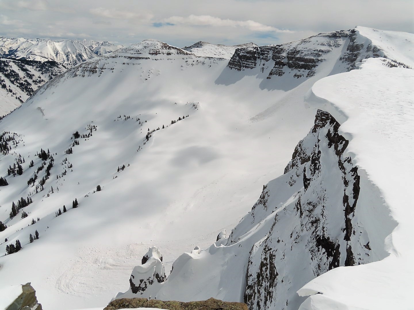
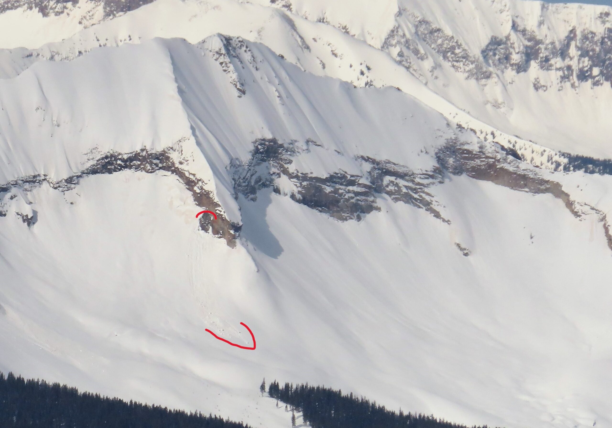
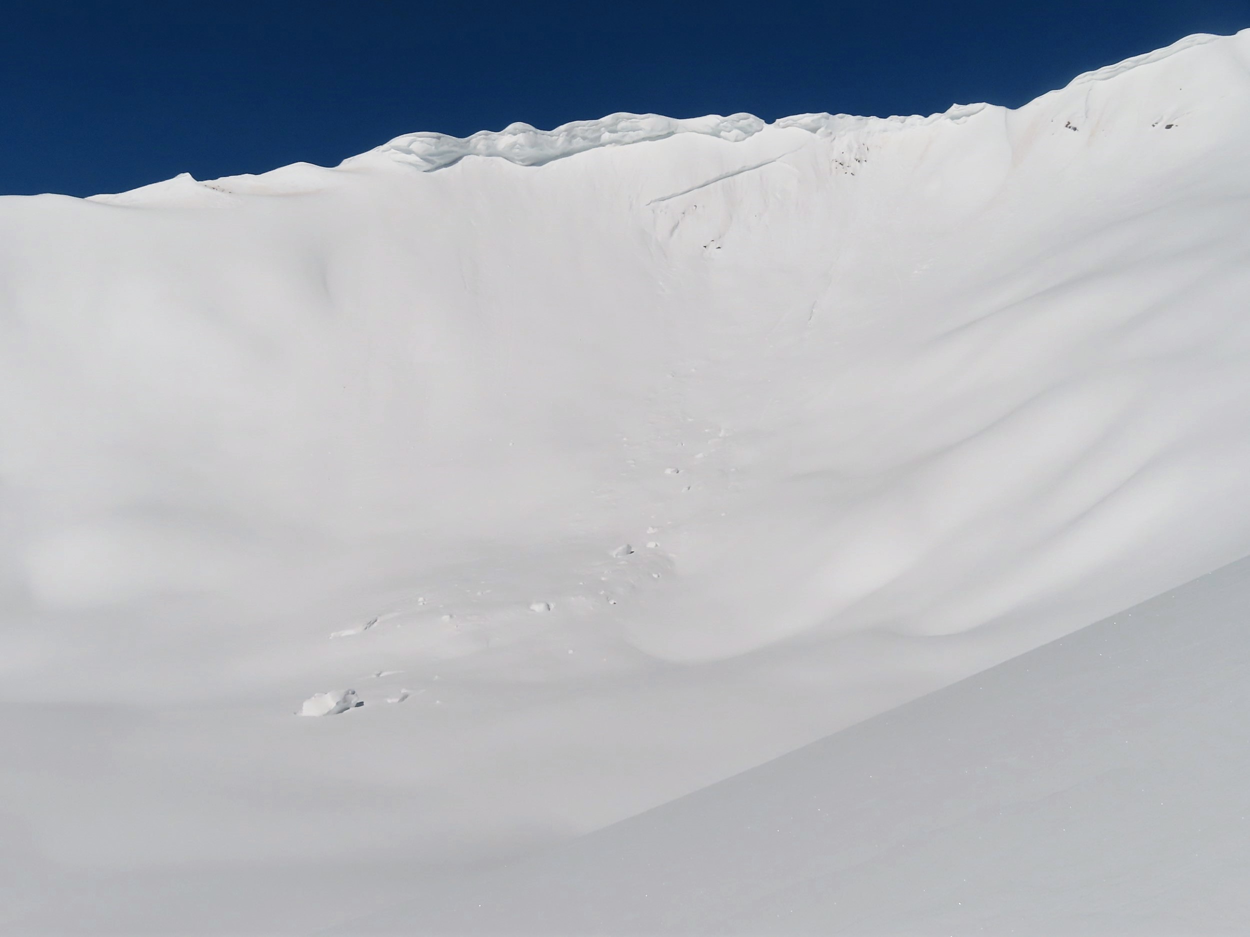
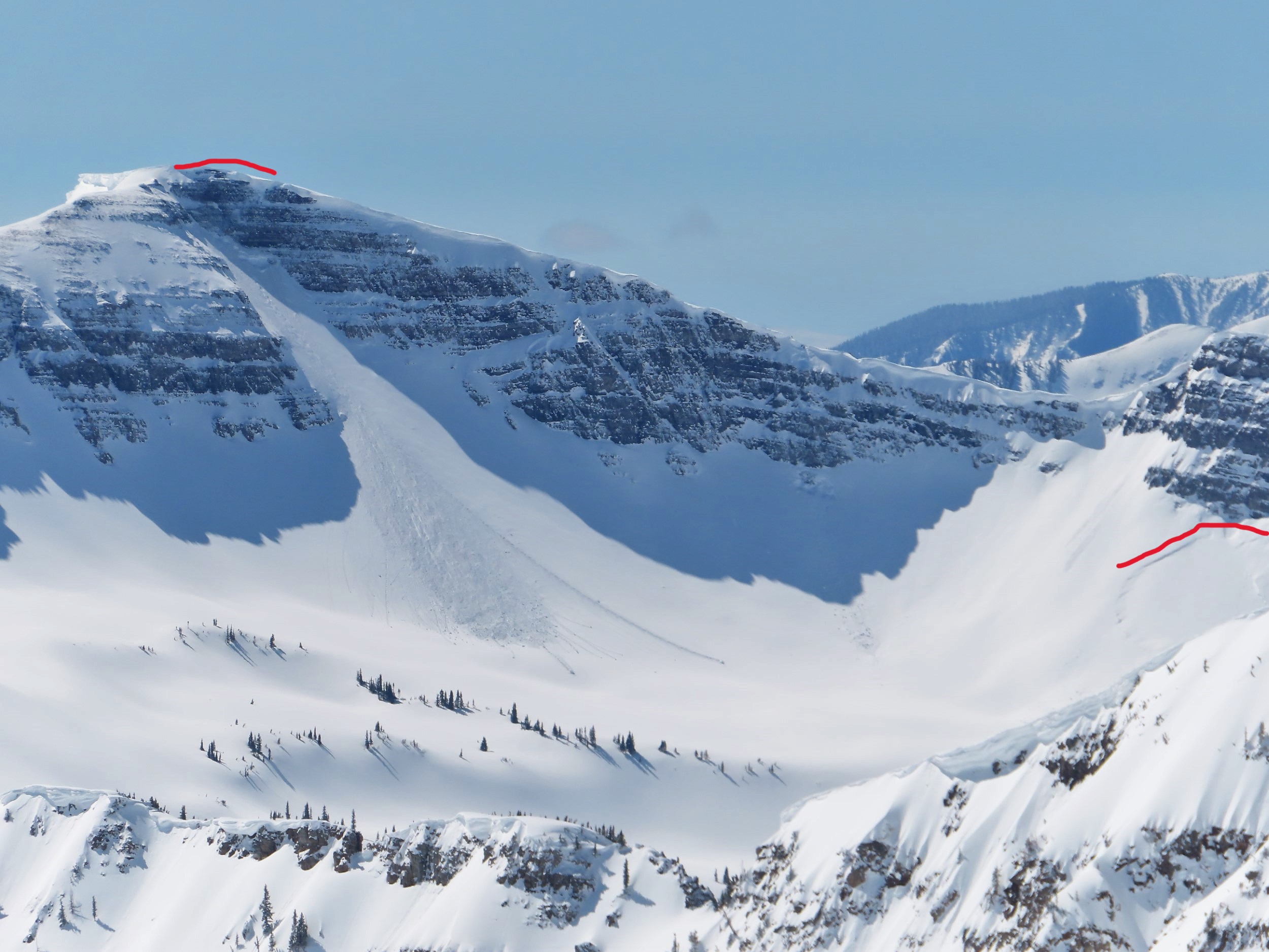
A recent Cornice fall on Mount Emmons.
-
-
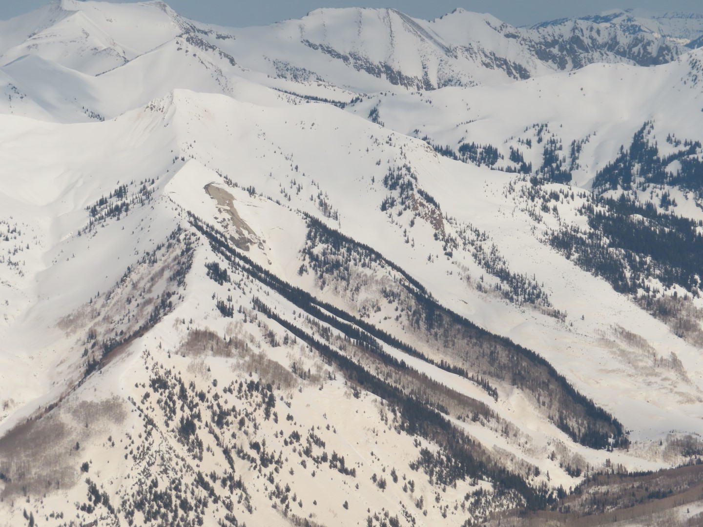
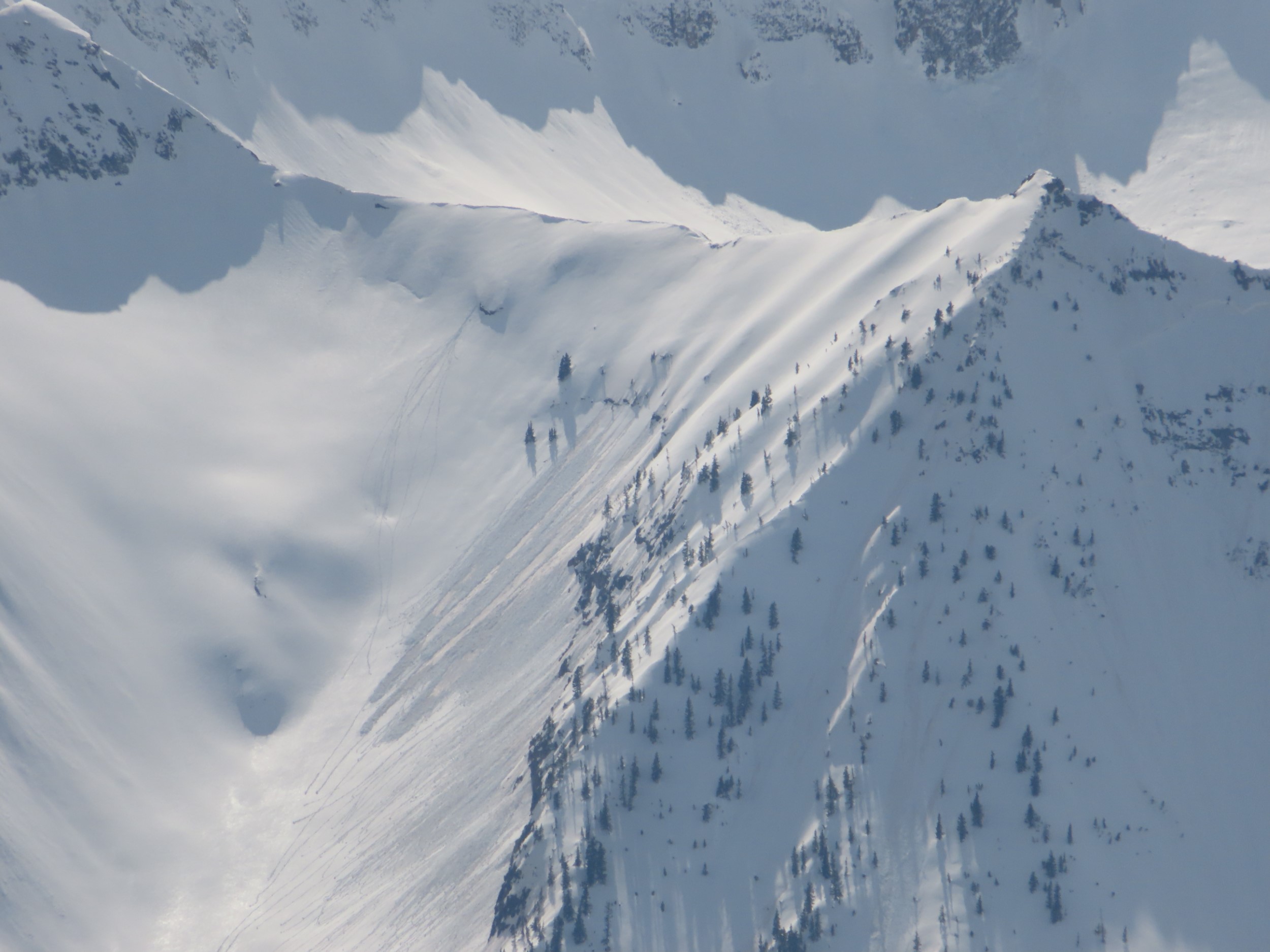
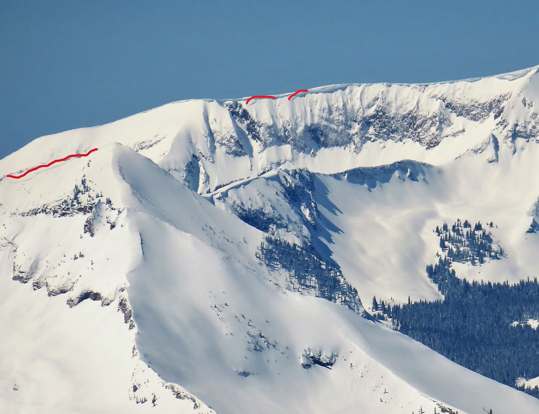
Recent small, Wet Loose avalanche activity on easterly and westerly aspects near treeline in the Anthracite Range.
6213