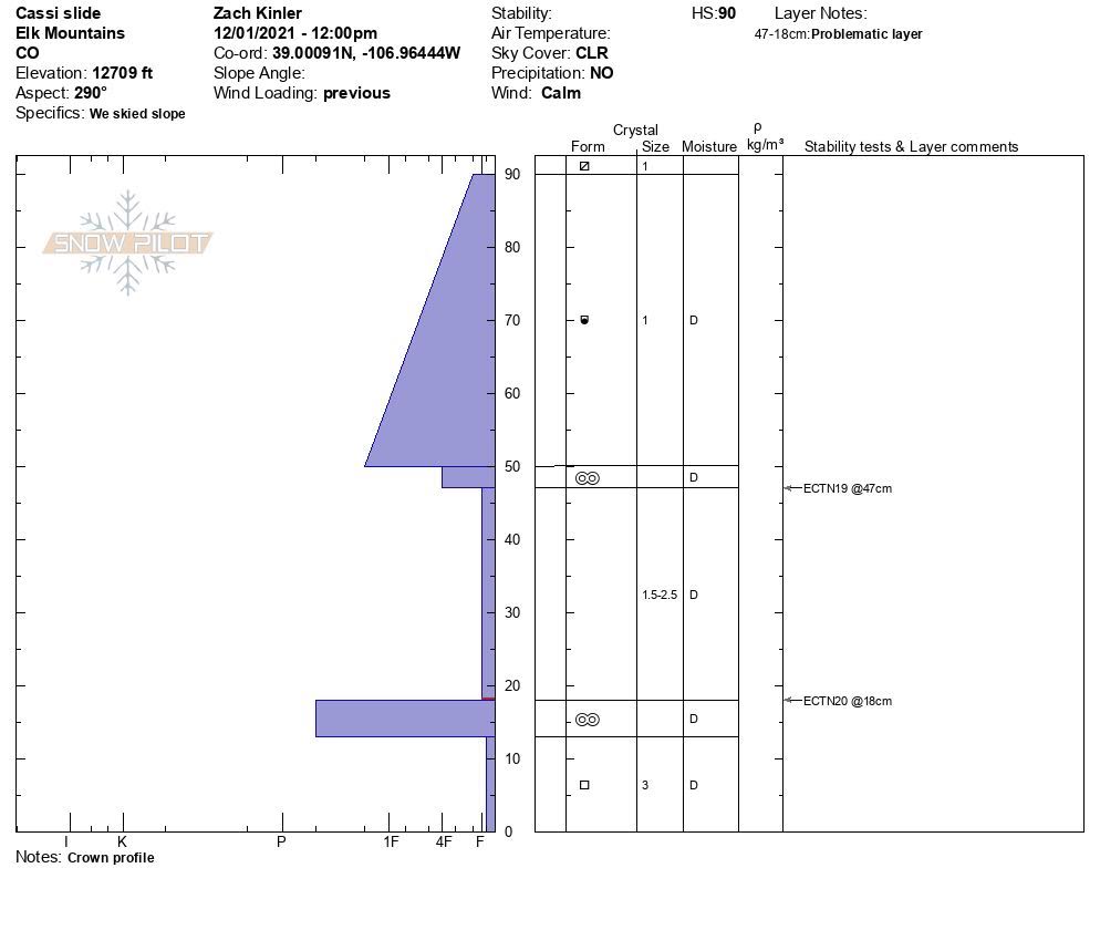
Date of Observation: 11/29/2021
Name: Zach Guy
Zone: Northwest Mountains
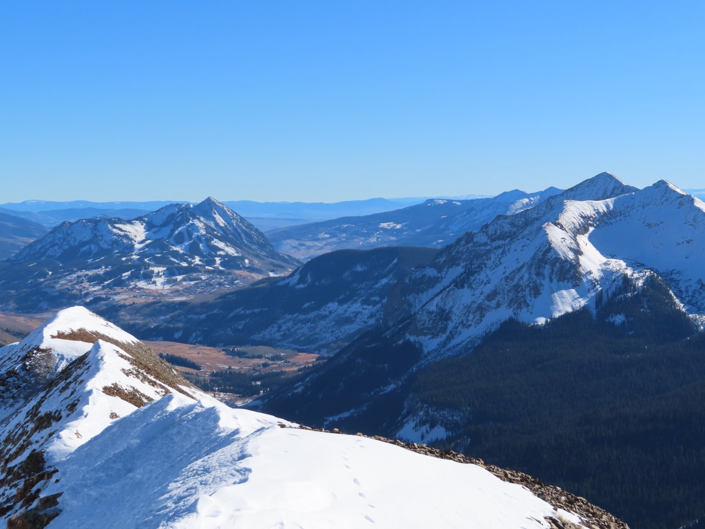
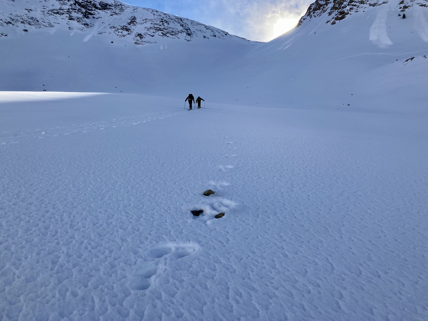
Route Description: Schofield Pass area. Traveled on W, NW, and N aspects between 10,700 and 12,500 ft.
Observed avalanche activity: Yes
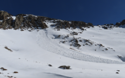
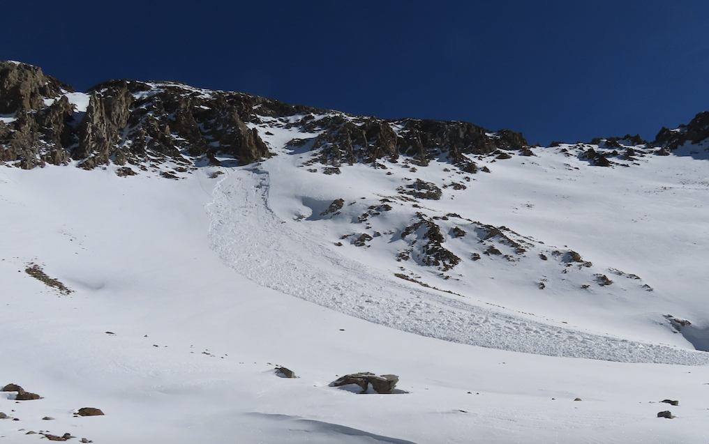
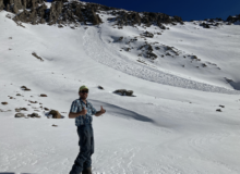
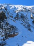
Avalanches: Saw what looks like a recent slab avalanche, D1.5 in size; it failed in a west-facing cirque near Cassie Peak. It looks like it failed in older snow layers close to the ground. I’m guessing it was triggered by a very small wet loose in the past few days.
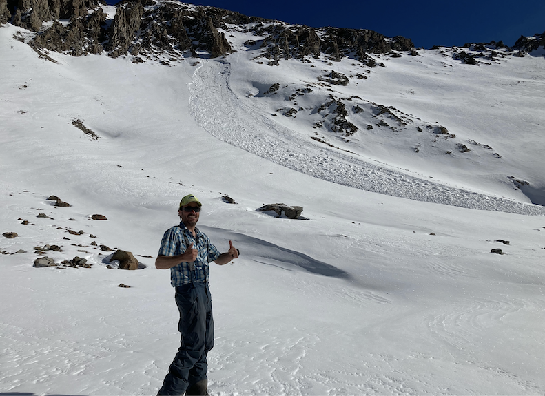
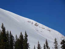
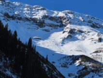
There was also a handful of previously undocumented wind slab avalanches from the last storm on NE aspects of Baldy, D1 to D1.5 in size.
Weather: Unseasonably warm, calm winds, clear skies.
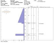
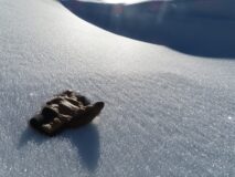
Snowpack: Widespread surface hoar growth on flat or shady aspects below about 11,800 ft. Snowpack is generally faceted throughout, 1 mm near the surface and up to 3mm near the ground. It’s hard to find any lingering midpack except in previously wind-blasted terrain. We dug into a previously cross-drifted slope with no concerning pit results. In wind protected terrain, boot pen is to the ground, ski pen also getting close to the ground. West aspects were moist or wet this afternoon on near and below treeline slopes.
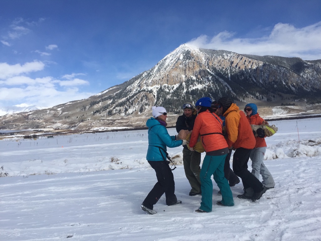
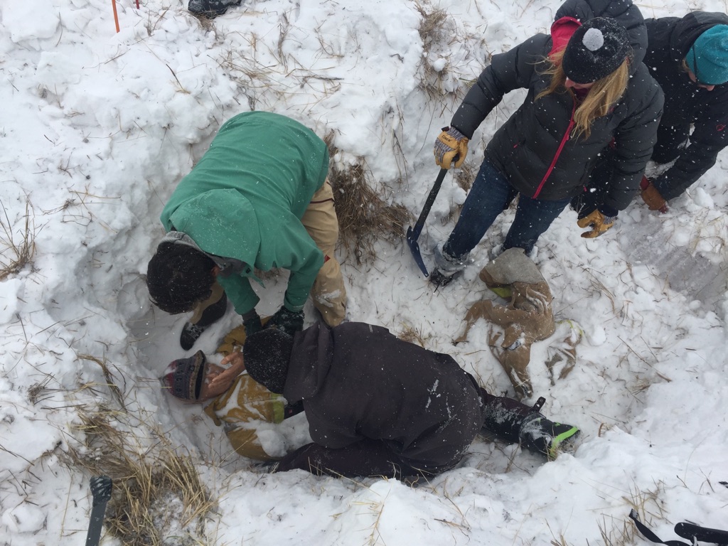
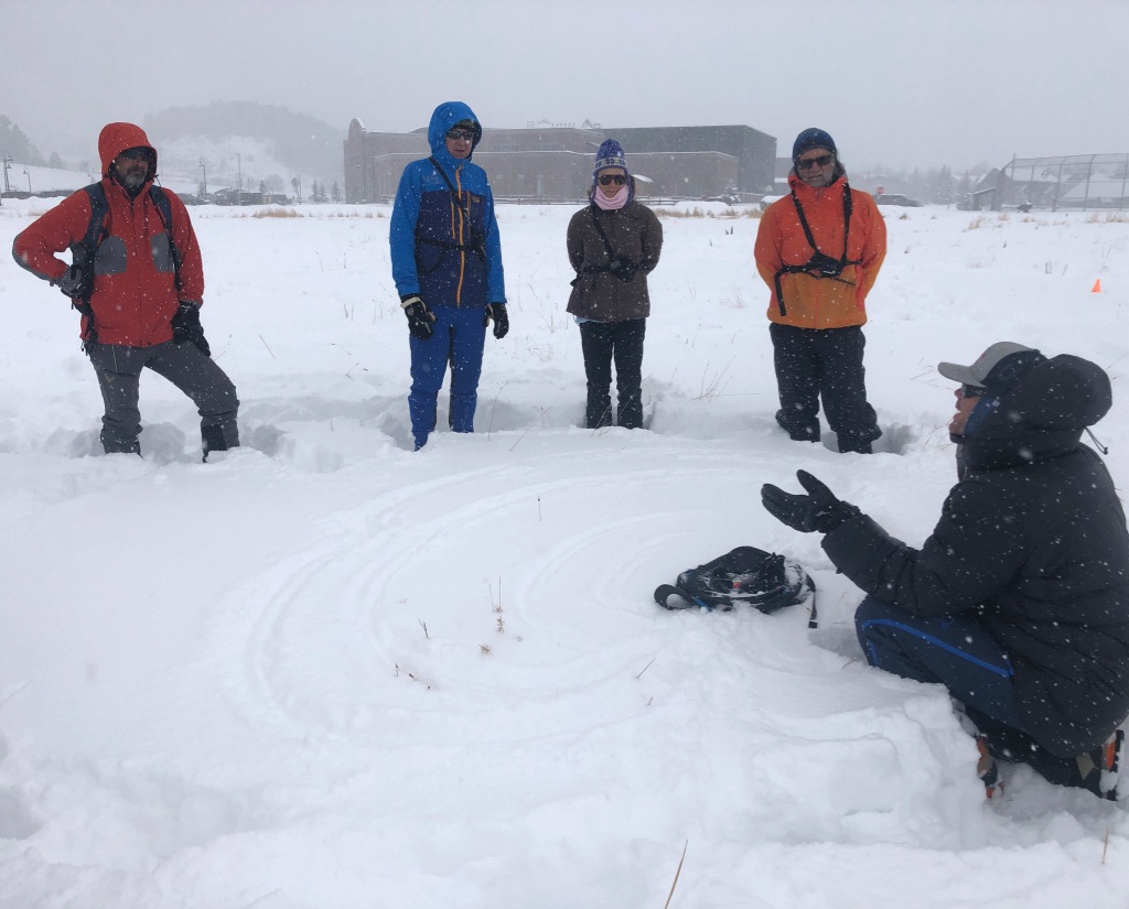
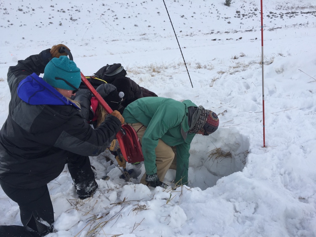
Photos:
-
-
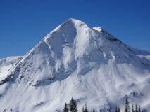
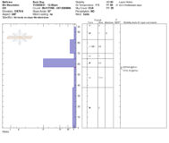
Snow profile on a NNW aspect of Mt. Bellview
-
-
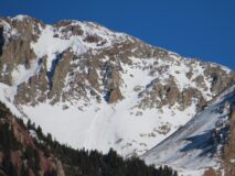
Fresh-looking slab avalanche near Cassie Peak
-
-
Widespread surface hoar growth in wind sheltered terrain
-
-
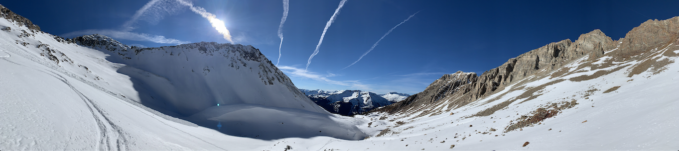
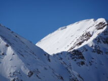
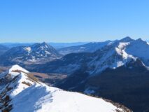
Looking at snow coverage towards the Donut Hole
-
-
Debris from a slide that likely ran during the last storm on Baldy (11/24). There were also ski tracks coming out of this chute, so it could have been skier triggered more recently.
-
-
Debris from several slides that likely ran during the last storm on Baldy(11/24)
Estimated avalanche date: 11/28/2021
Number of Avalanches: 1
Location
Location: Schofield Pass/Rustler Gulch
Location Specific:
Start Zone Elevation: ATL: Above Tree Line
Aspect: W
Characteristics
Trigger: Natural
Trigger modifier:
Type: Unknown
Failure Plane: Old snow
Size
Relative Size: R1 very small
Destructive Size: D1.5
Avg. crown height (inches):
Avg. width (feet):
Avg. vertical run (feet):
Involvements
# of people caught:
# of partial burials:
# of full burials:
Additional comments: Slab avalanche near Cassie Peak, likely triggered by small wet loose. Best guess is this was a dry persistent slab with a moist snow surface that ran sometime in the last few days. Potential for wet slab release though. Viewed from afar.
Estimated avalanche date: 11/24/2021
Number of Avalanches: 4
Location
Location: Mount Baldy
Location Specific:
Start Zone Elevation: ATL: Above Tree Line
Aspect: NE
Characteristics
Trigger: Natural
Trigger modifier:
Type: Soft Slab
Failure Plane: New/Old interface
Size
Relative Size: R1 very small
Destructive Size: D1- Relatively harmless to people
Avg. crown height (inches):
Avg. width (feet):
Avg. vertical run (feet):
Involvements
# of people caught:
# of partial burials:
# of full burials:
Additional comments: Handful of debris piles from recent storm. Crowns were drifted over, assuming they were thin wind slabs. One ran the full length of Emerald Couloir and was a bit larger, D1.5 or so.
Estimated avalanche date:
Number of Avalanches:
Location
Location:
Location Specific:
Start Zone Elevation:
Aspect:
Characteristics
Trigger:
Trigger modifier:
Type:
Failure Plane:
Size
Relative Size:
Destructive Size:
Avg. crown height (inches):
Avg. width (feet):
Avg. vertical run (feet):
Involvements
# of people caught:
# of partial burials:
# of full burials:
Additional comments:
5038