Date of Observation: 12/21/2021
Name: Evan Ross
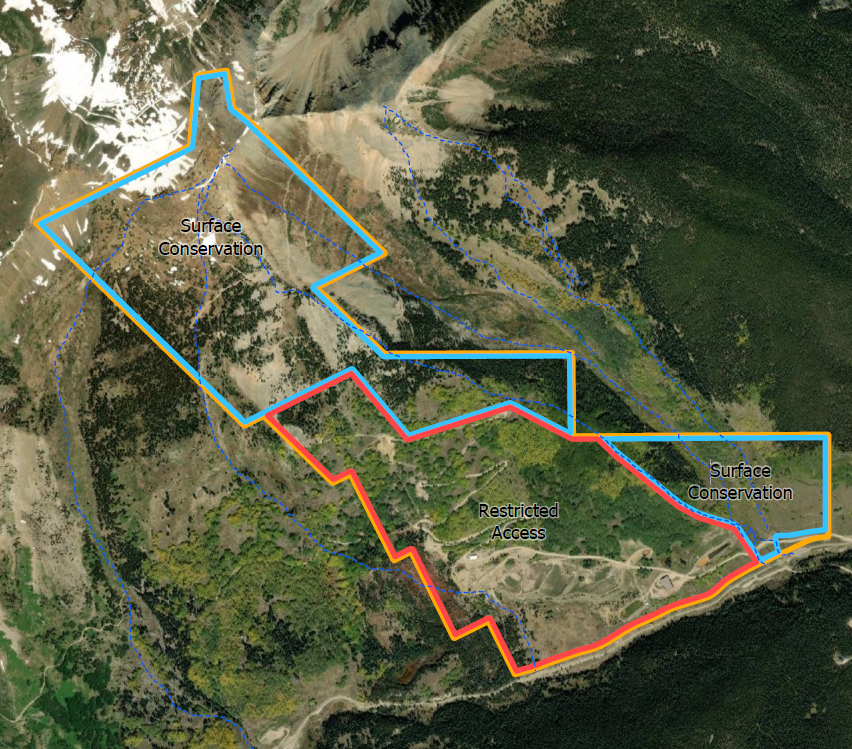
Zone: Northwest Mountains
Route Description: Washington Gulch 9,500ft to 11,500
Weather: Mostly cloudy sky in the morning, became clear for the rest of the day.
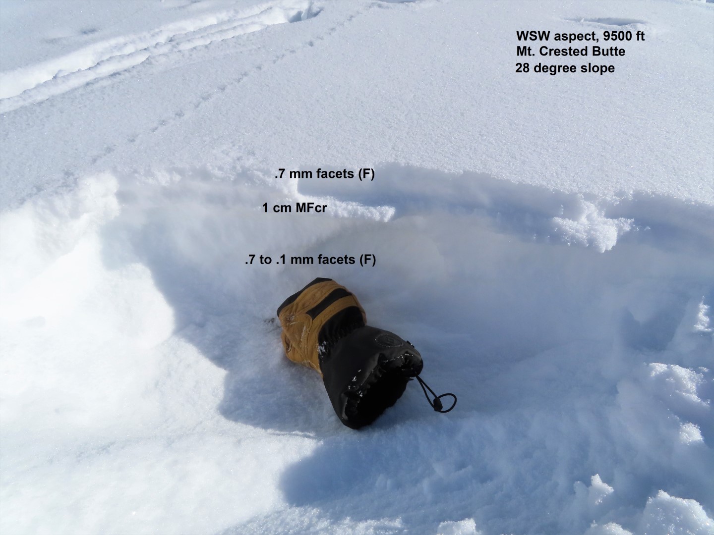
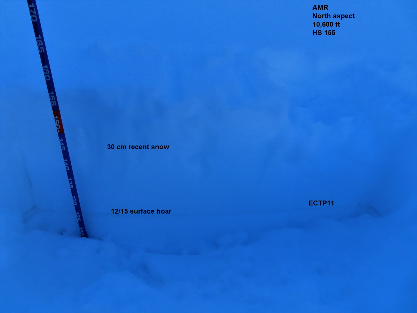
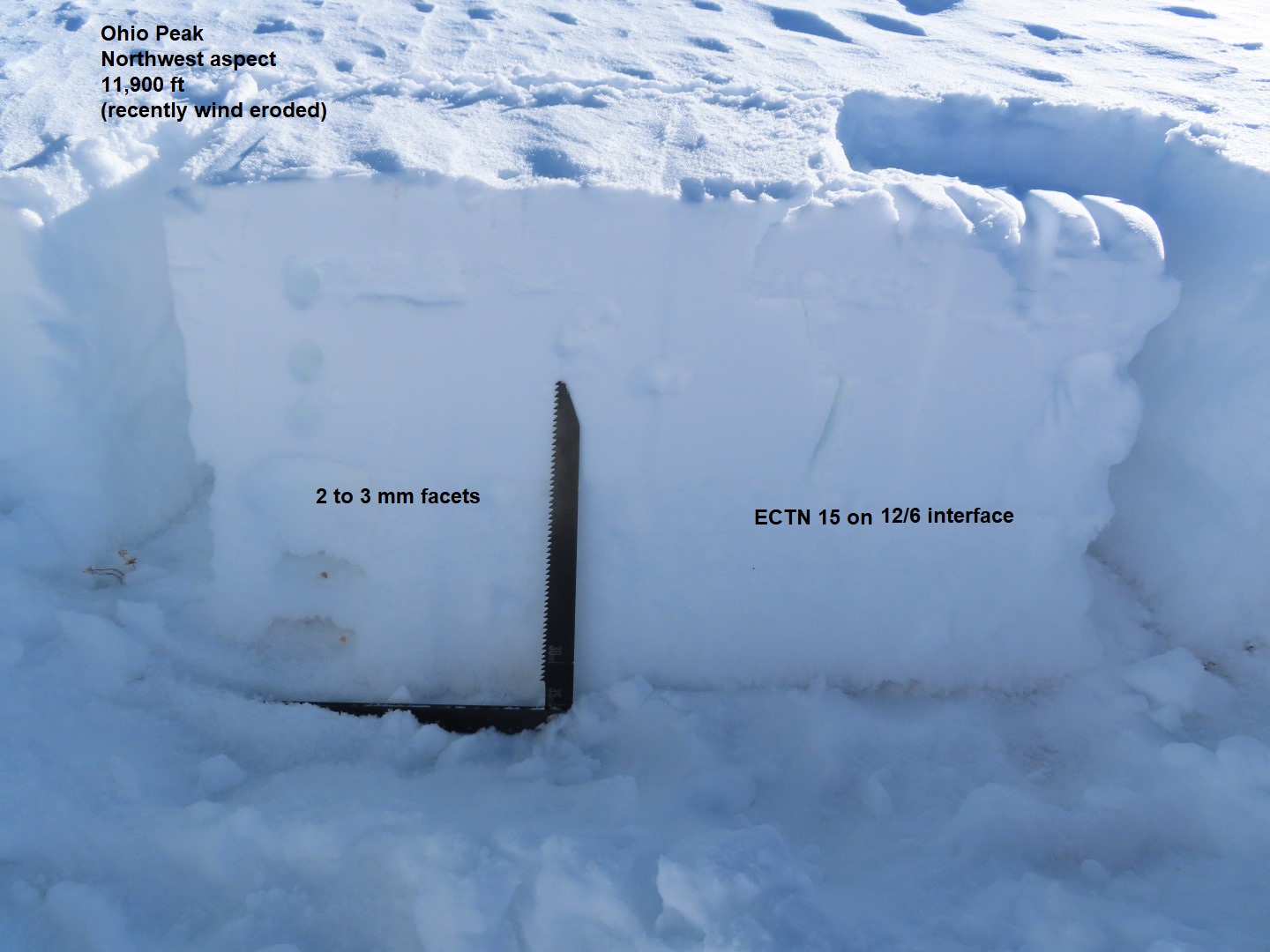
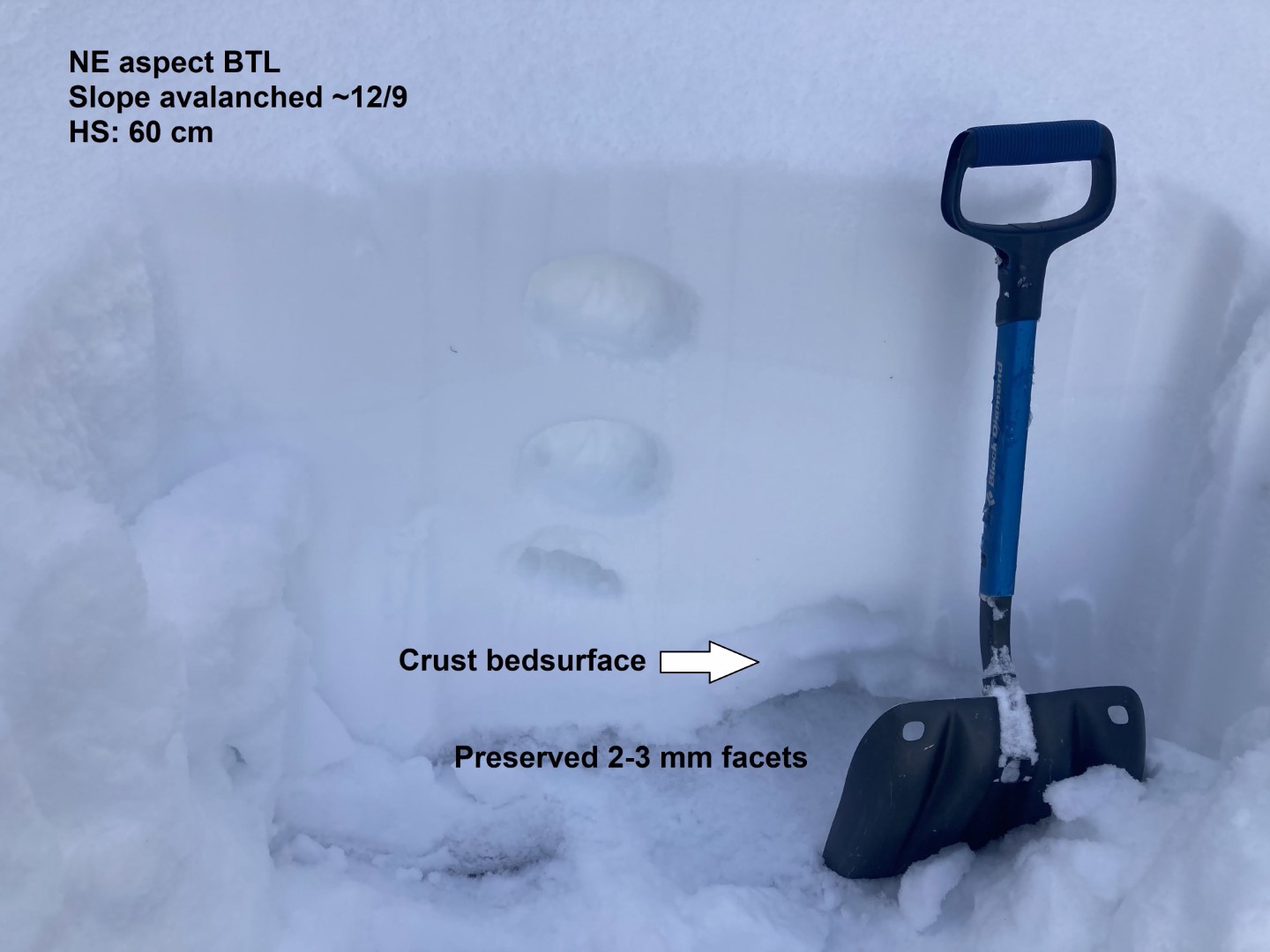
Snowpack: Stopped at 3 different spots to take a look at snow surfaces on southerly-facing slopes. The primary layer of concern in all three locations was facets on top of the crusts.
SW, 10,500ft, 33 degree slope. Dry, lightly faceted < .5mm grains above a 1cm crust. HS 55.
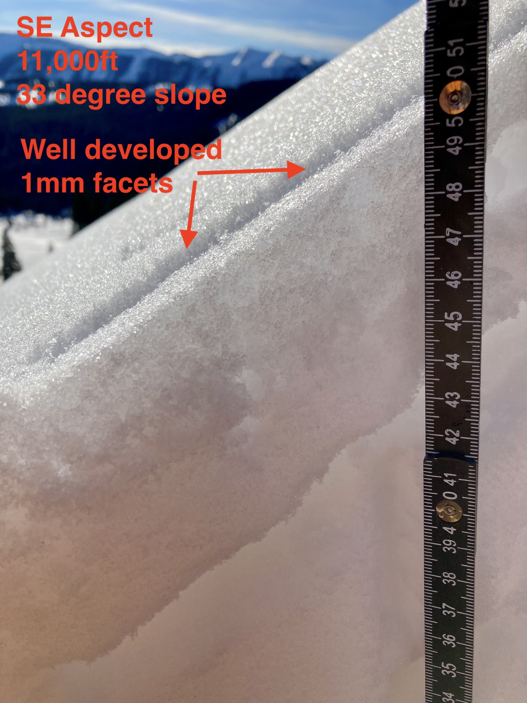
SE, 11,500ft, 33 degree slope. Dry, well-developed 1mm facets with multiple lines of striation, above a moist 4cm crust. HS 50.
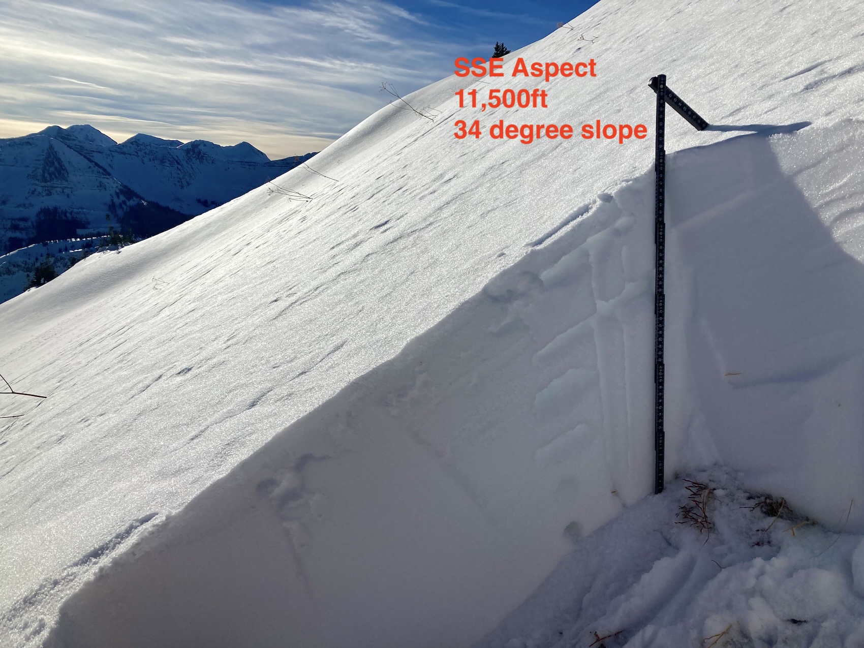
SSE, 11,500ft, 34 degree slope. Dry, well-developed 1mm facets with multiple lines of striation, above a 3cm crust. HS 50.
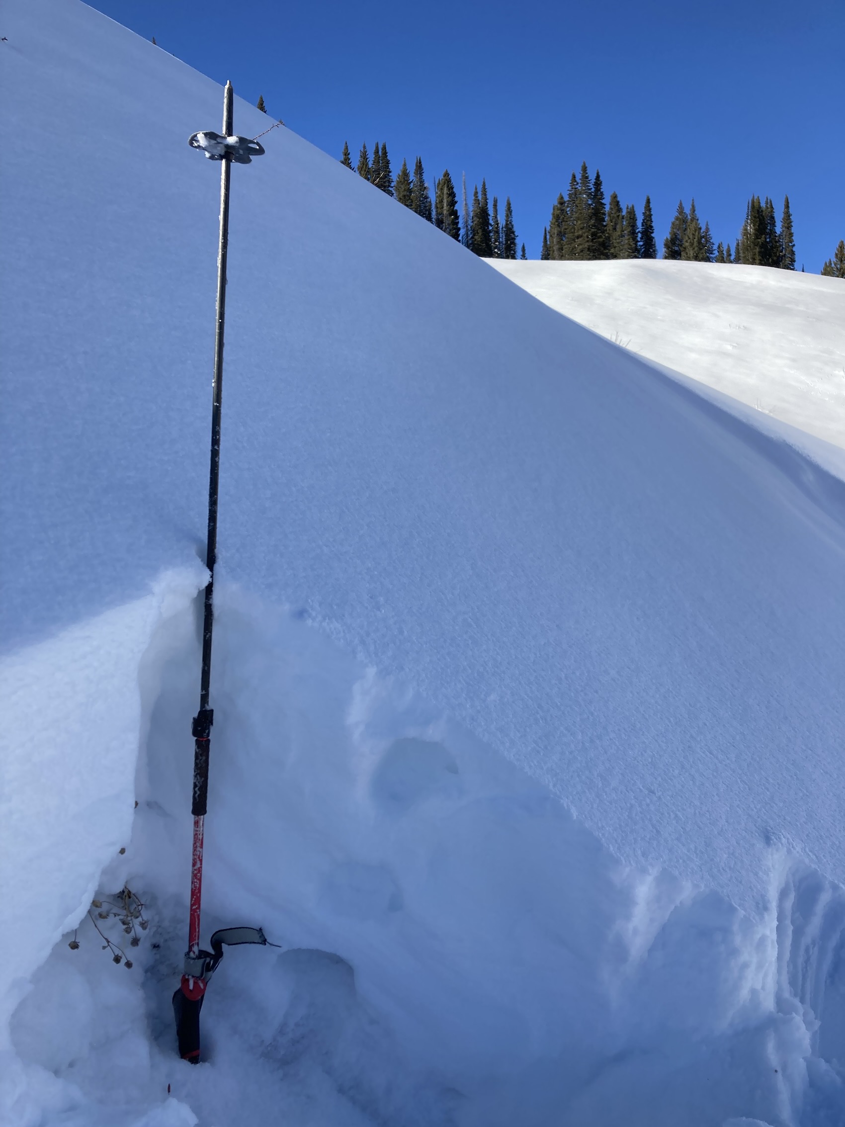
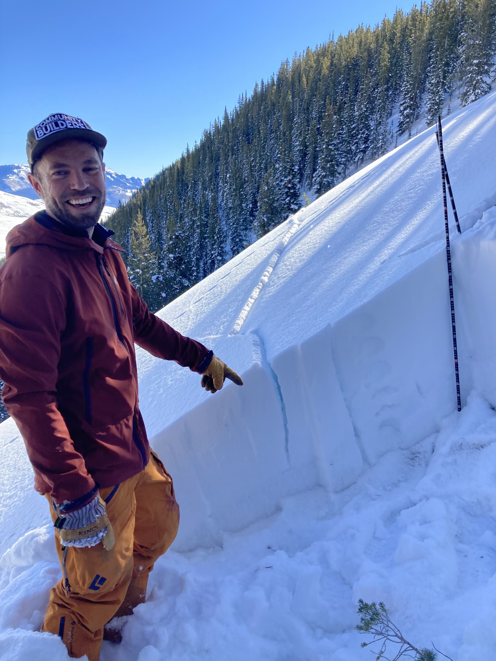
Photos: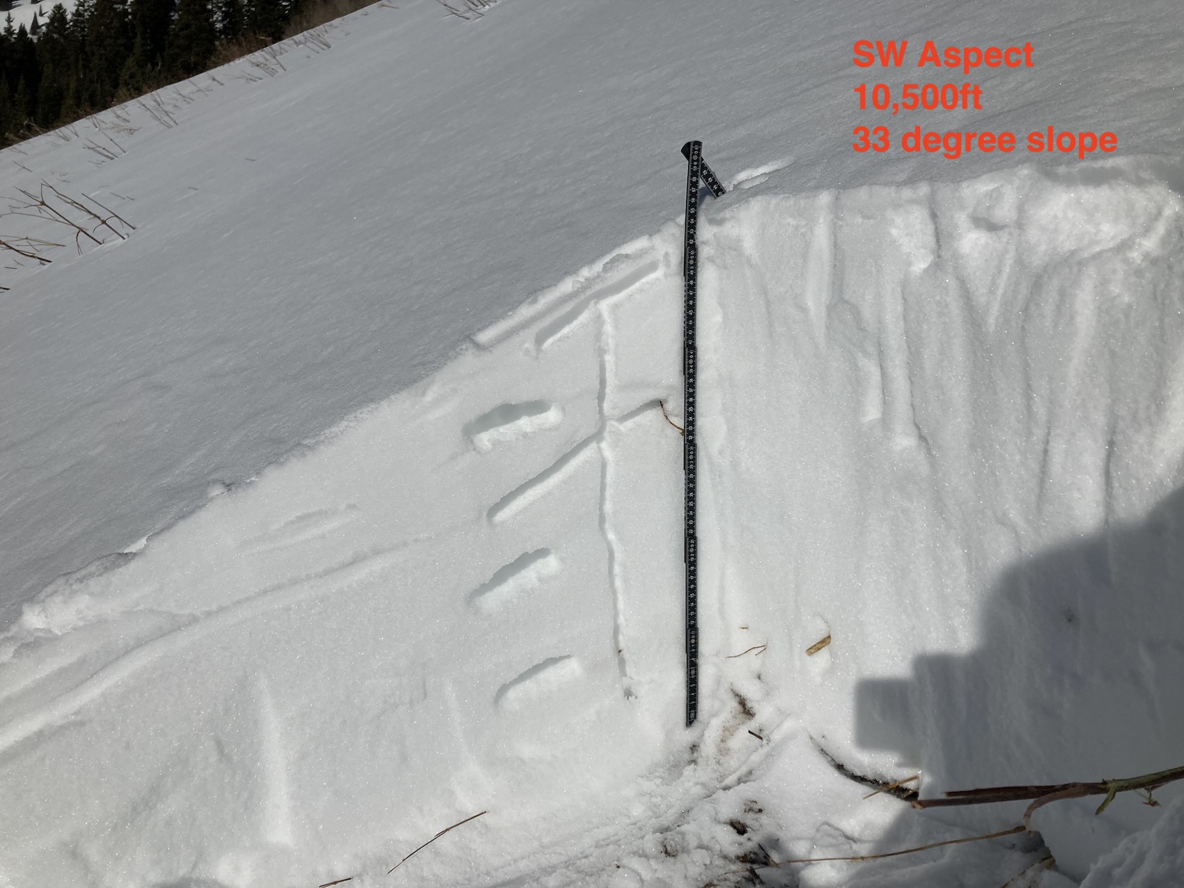
-
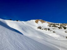
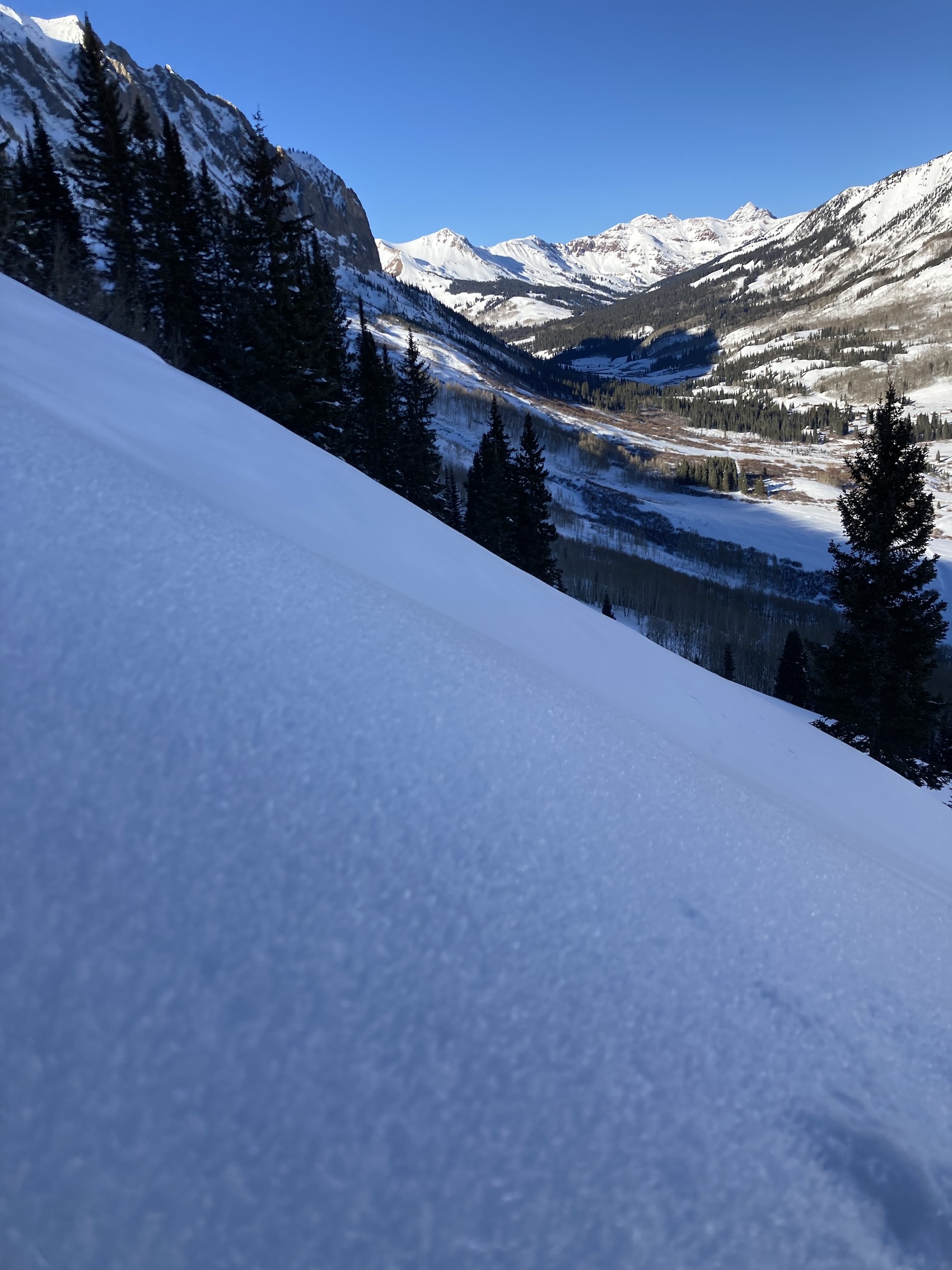
- Westerly aspects on Gothic Mountain

-
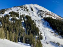
- South Bowl of Mt Baldy


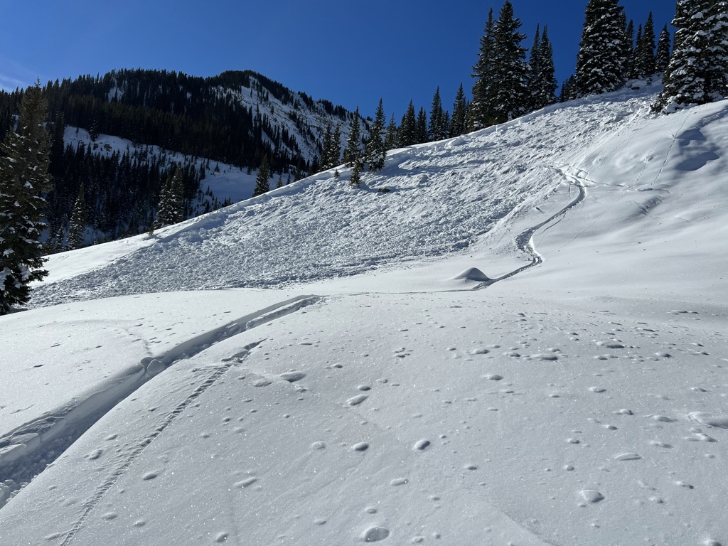 The first significant storm of the 21-22 winter season brought multiple feet of snow, and with that a natural avalanche cycle. Followed by an extreme wind event, our snowpack has experienced a magnitude of change. Learn about what’s occurring in this weeks