Date of Observation: 01/17/2023
Name: Evan Ross
Zone: Southeast Mountains
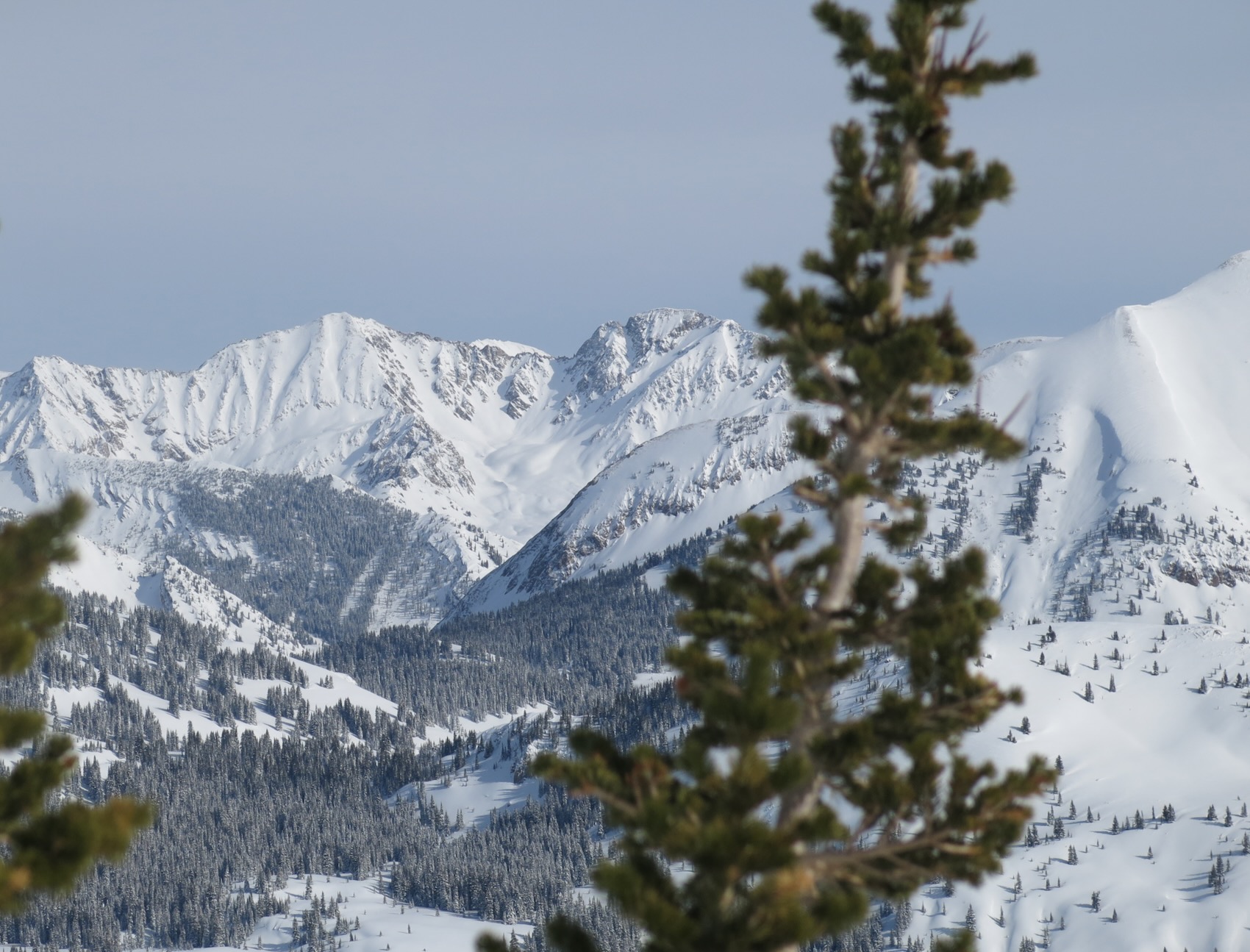
Route Description: Snodgrass. 9,500-11,100ft. NE-E
Observed avalanche activity: Yes
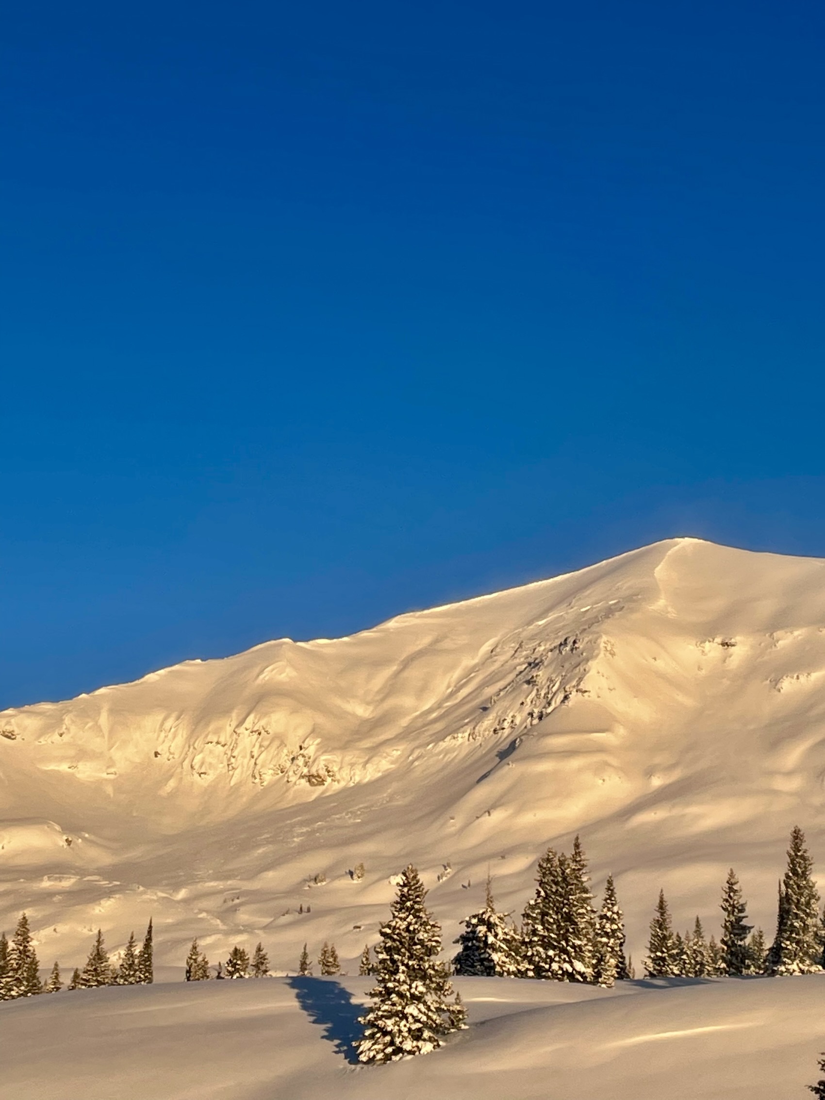
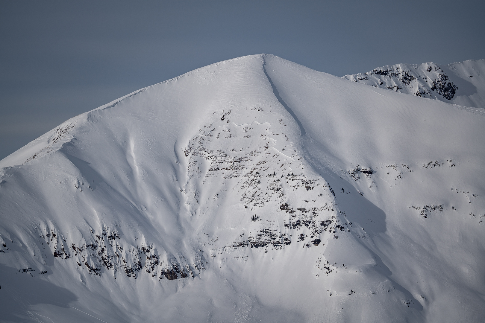
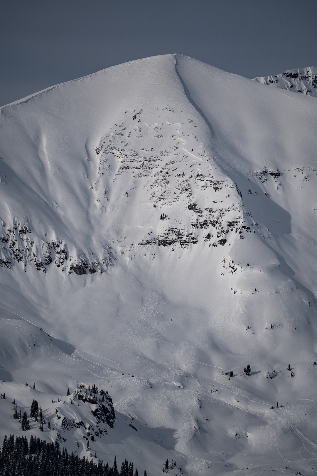
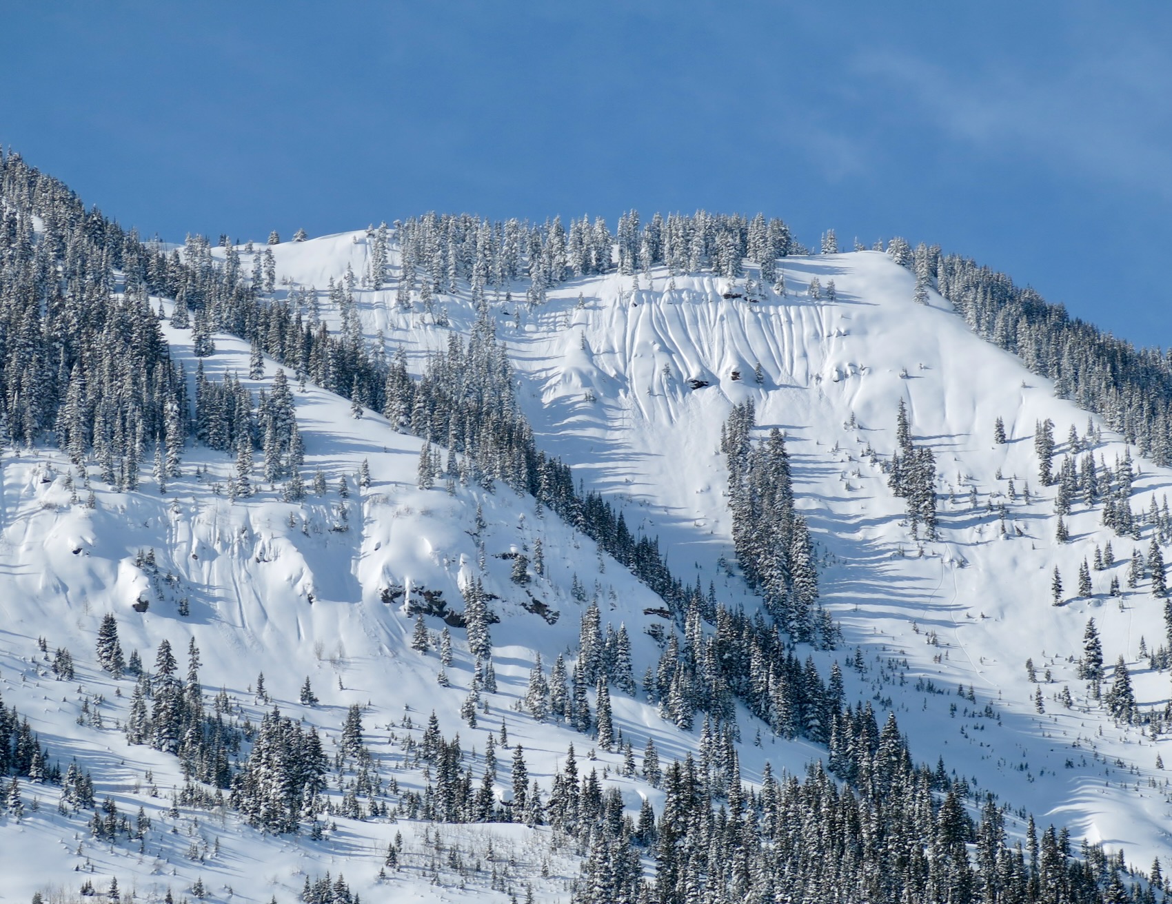
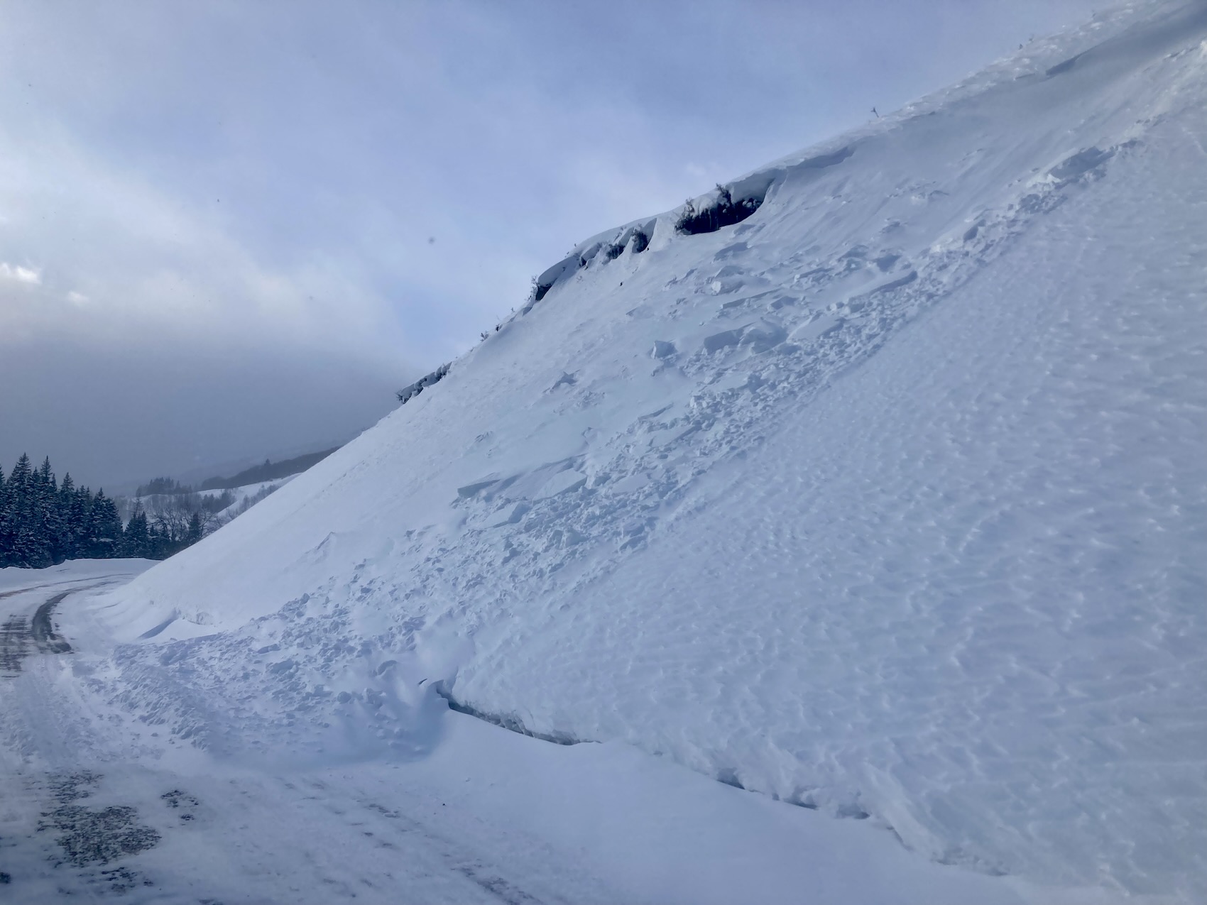
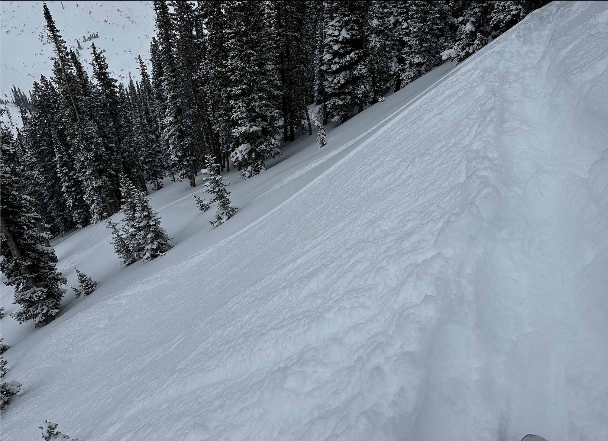
Avalanches: Skier triggered and natural loose snow avalanches or sluffs in steep terrain. All small in size, and interestingly not accumulating much mass even on 40-degree slopes. Numerous storm slabs that had released at various times throughout the last couple of storms. Some to D1.5 in size. The most recent activity from last night maybe was all small D1.
I talked with another skier that dropped into a portion of California Bowl. This is a steep NE slope around 10,600ft. While skiing in an old bed surface they said they triggered a soft slab avalanche about 1.5ft deep. They said the resulting avalanche was small in size and they didn’t notice it had released until finishing the line.
Weather: Between 11am and 1:30pm the snowfall was generally light. There was a break in snowfall from around 1:30pm to 3pm. Snowfall rates seemed higher in the morning and later afternoon when I wasn’t out. Calm wind.
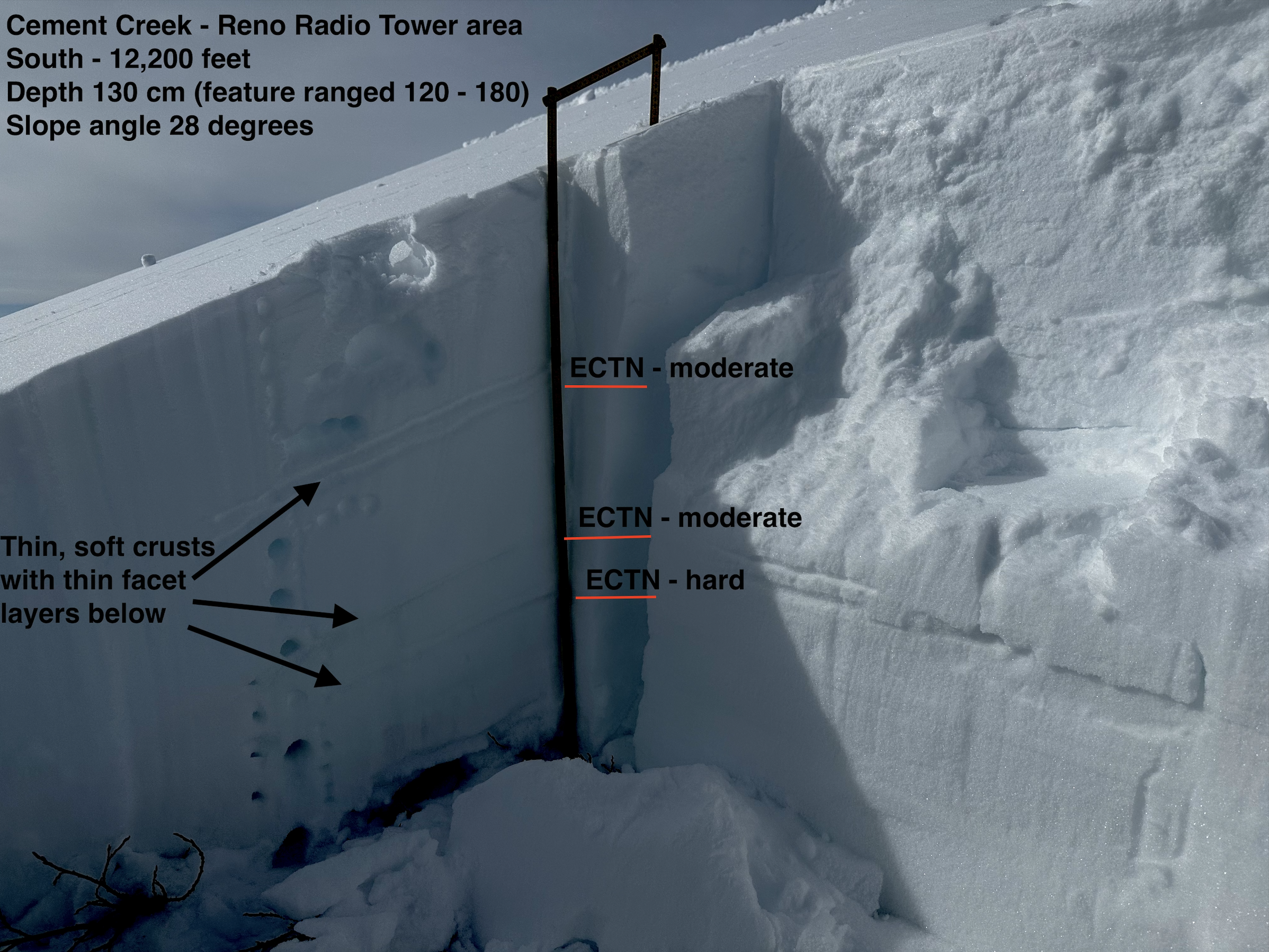
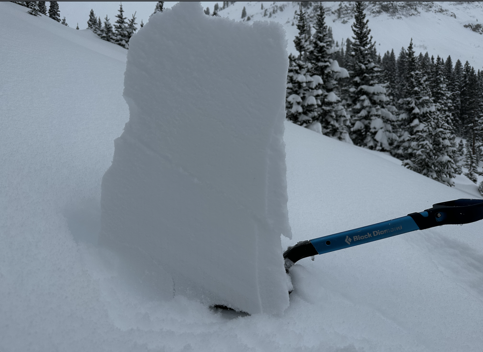
Snowpack: A few storm interfaces could be found in the upper 45-50cm of the snowpack with shovel tilt tests and some small column tests. Nothing would propagate in an ECT. Skied steep slopes in the upper 30-degree range to around 40-degree range with only small sluffs. Some of those slopes had previously avalanched and had a couple of feet of snow back in those bed surfaces, and others had the full seasons snowpack. Of course, no obvious signs of instability regarding the PSa problem while traveling through that terrain.
I didn’t find any SH at the ~1/14 interface higher in the terrain. I was able to find that SH down low near Gothic Road on a NE aspect at 10,500ft. That SH was small, surrounded by soft fist-hard snow, and produced an ECTN result.
I only made observations in the upper snowpack. In general, the upper snowpack looked good thanks to the relatively warm temperatures and fairly continuous snow. I suspect the storm slab avalanche problem has primarily been reactive during brief windows of peak precipitation rates.
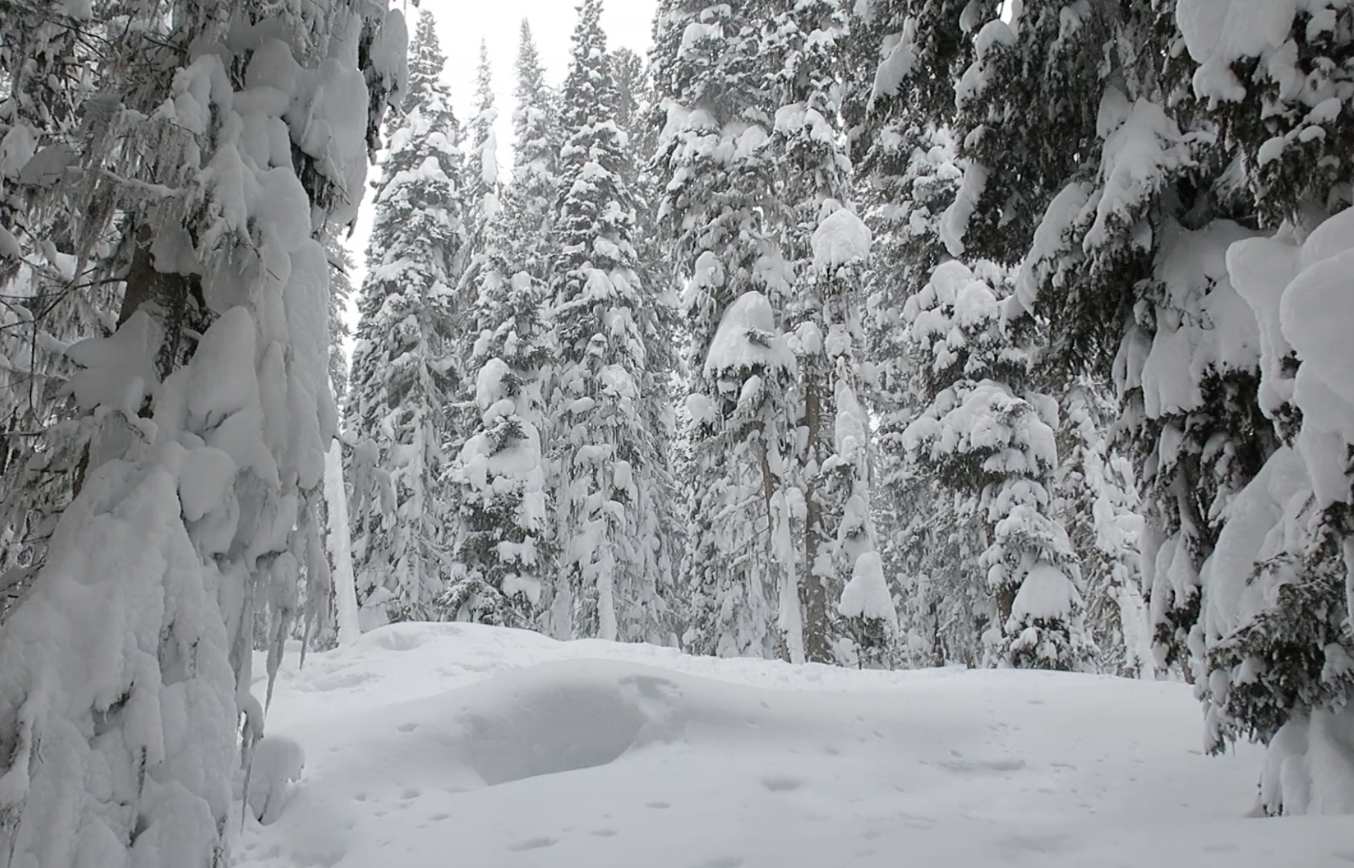
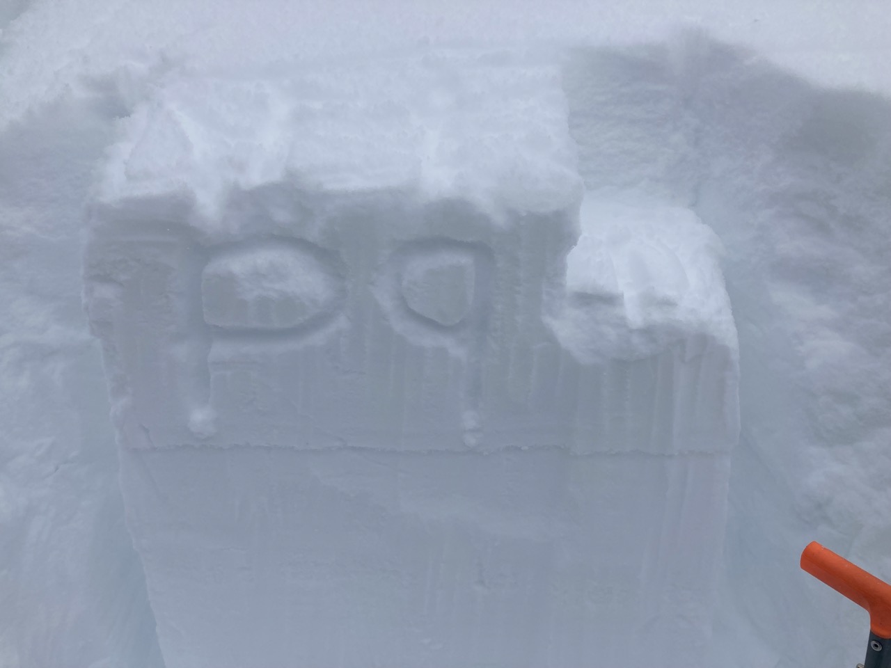
Photos:
-

-
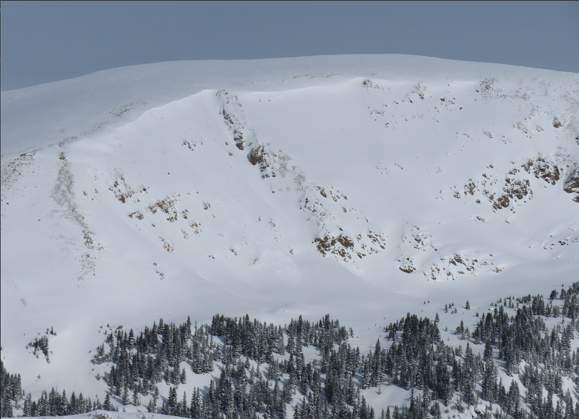
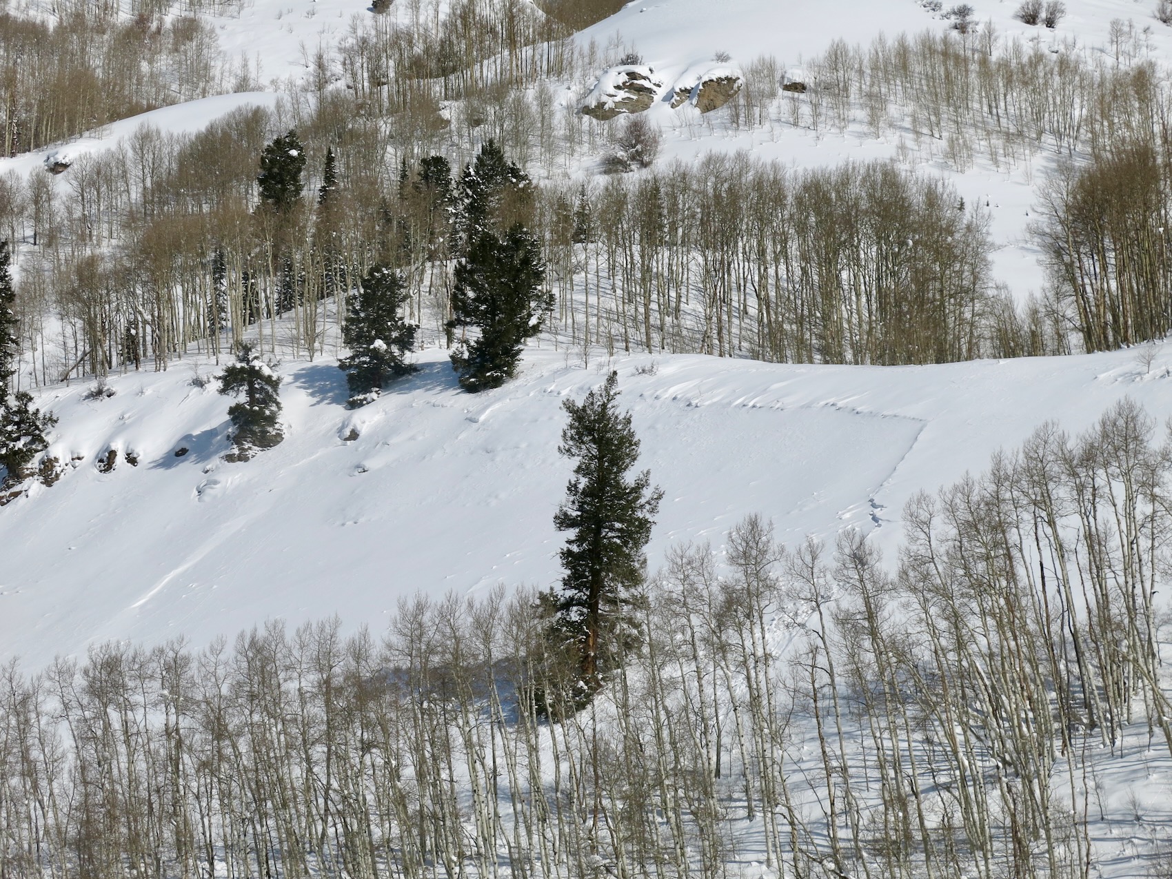
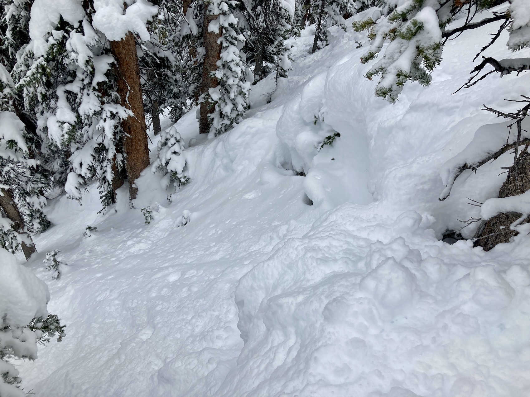
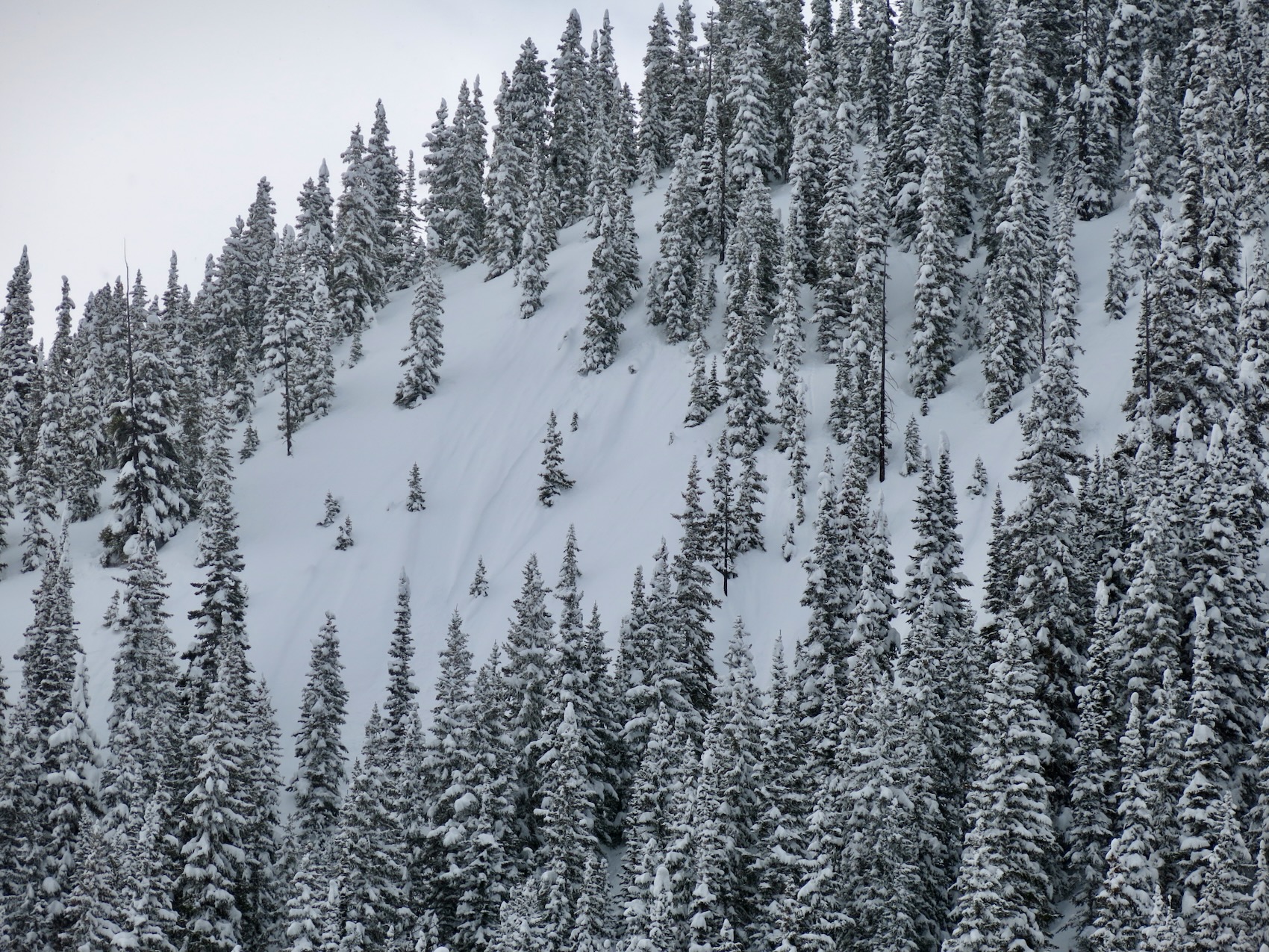
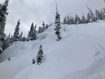
Some impressive old crowns in the trees. Guessing this is early January. 3 to 4-foot crown.
-
-
-
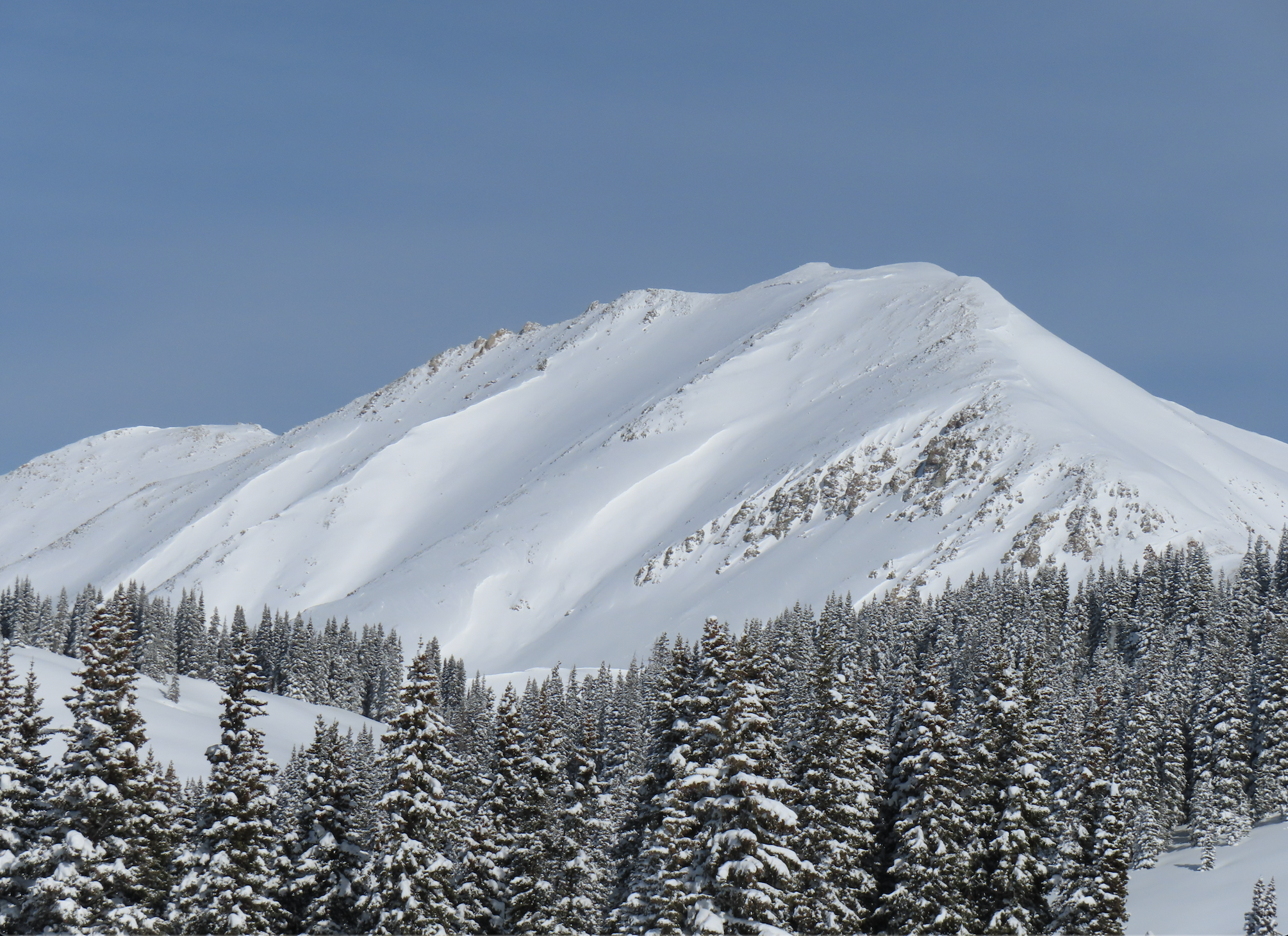
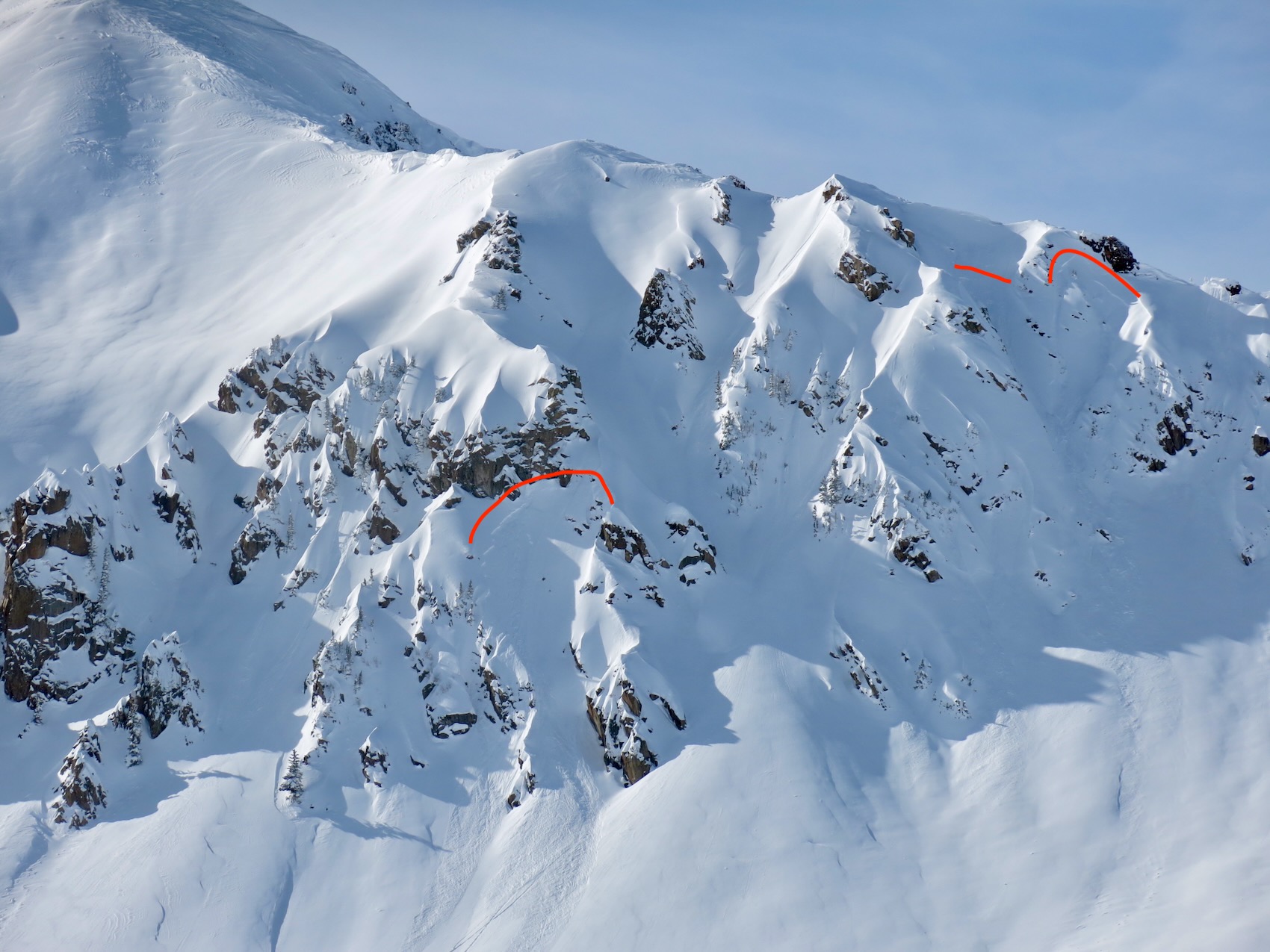
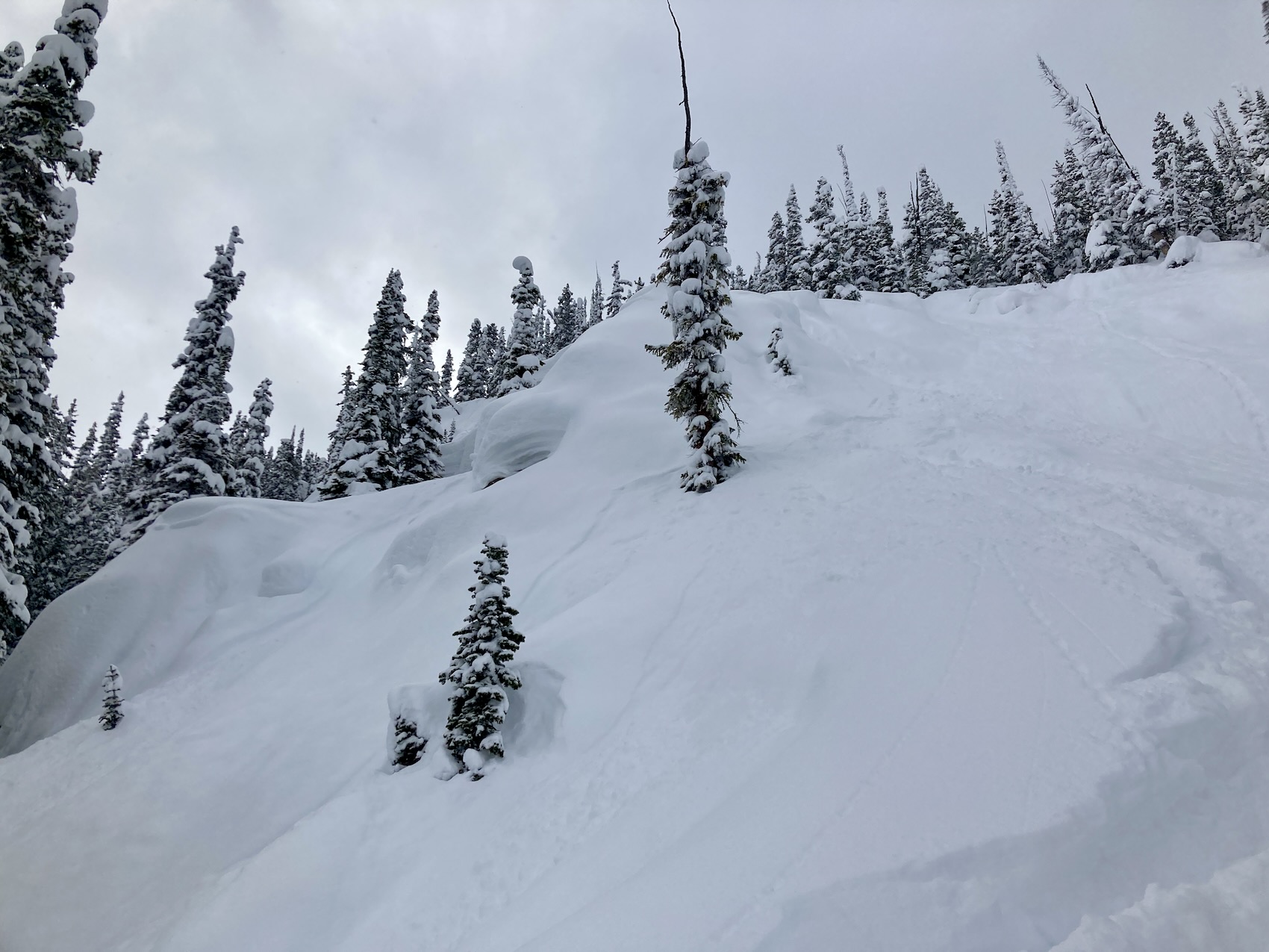
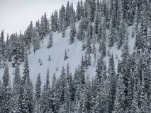
Steep west BTL
Estimated avalanche date: 01/17/2023
Number of Avalanches: 1
Location
Location: Snodgrass
Location Specific:
Start Zone Elevation: BTL: Below Tree Line
Aspect: NE
Characteristics
Trigger: Skier
Trigger modifier:
Type: Soft Slab
Failure Plane: Unknown
Size
Relative Size: R1 very small
Destructive Size: D1- Relatively harmless to people
Avg. crown height (inches):
Avg. width (feet):
Avg. vertical run (feet):
Involvements
# of people caught:
# of partial burials:
# of full burials:
Additional comments:
5909