Date of Observation: 02/07/2023
Name: Zach Guy
Zone: Northwest Mountains
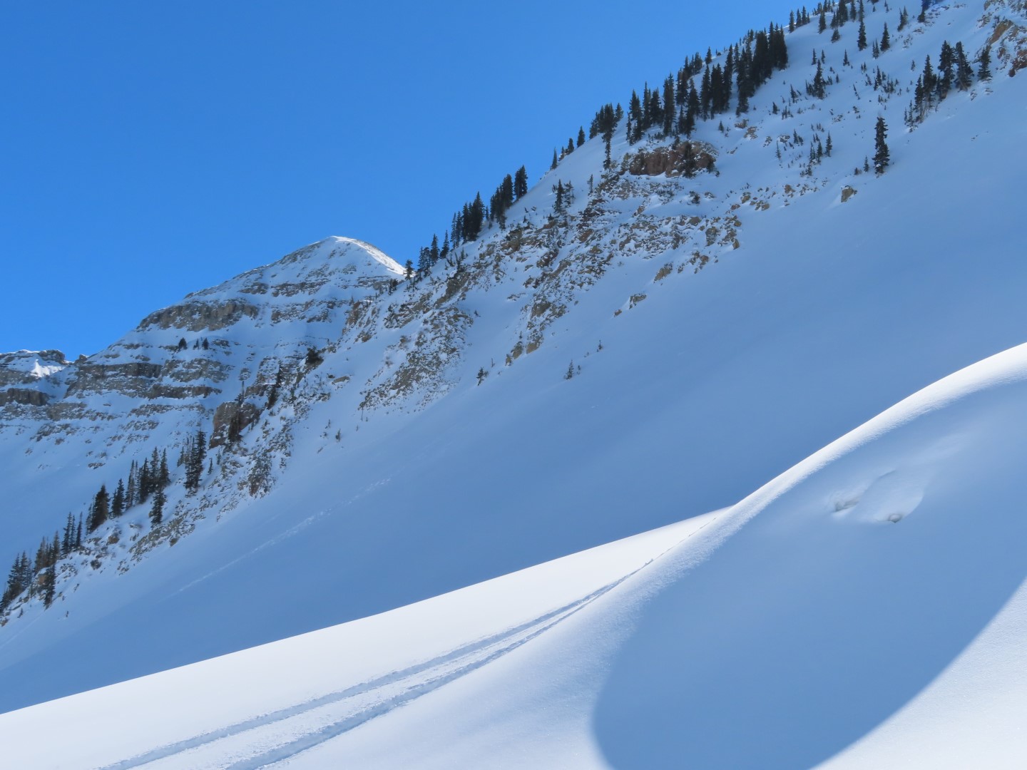
Route Description: Daisy Pass to Hancock Peak to 12,400′, traveled mostly on NE and SW aspects.
Observed avalanche activity: Yes
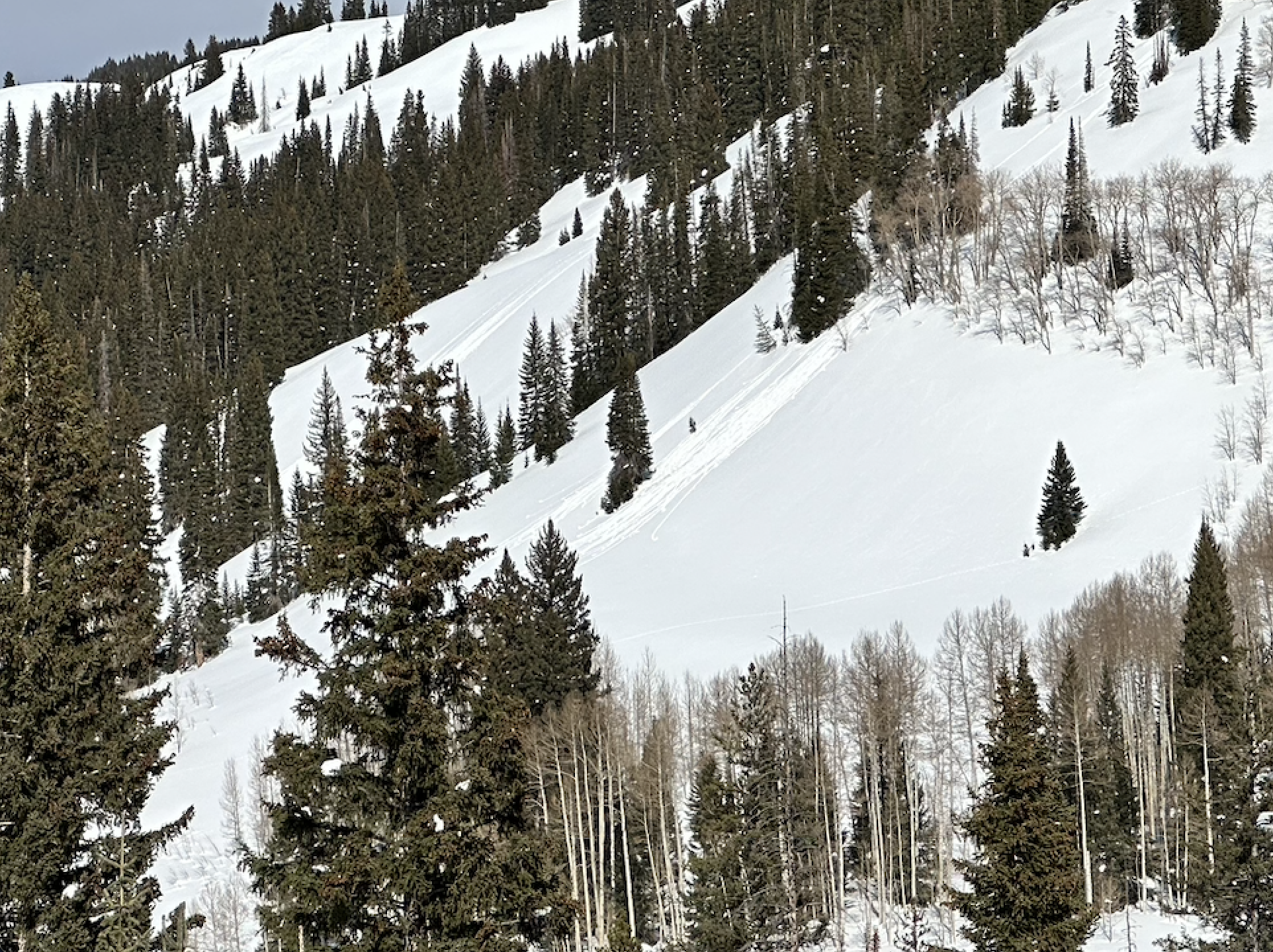
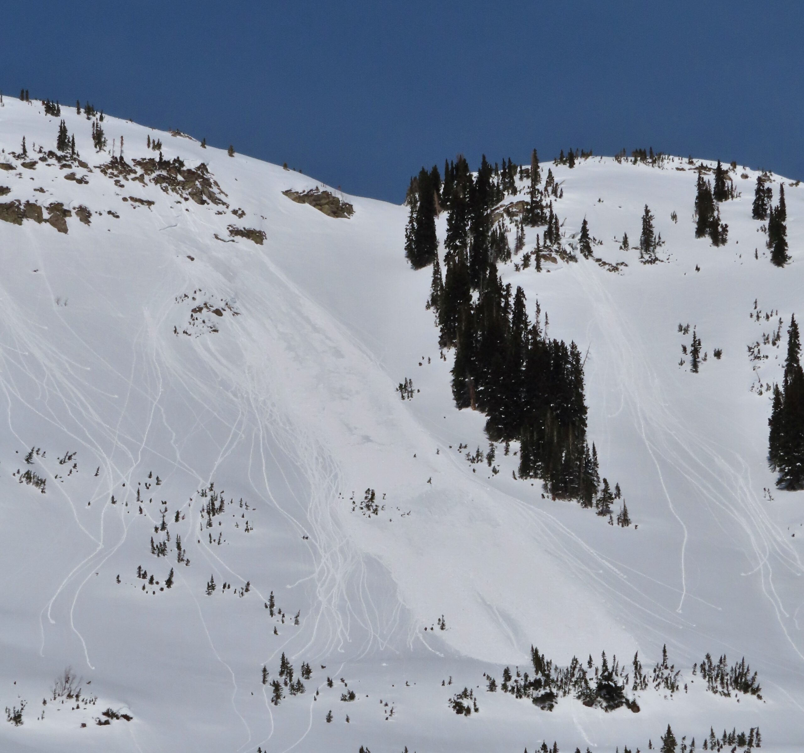
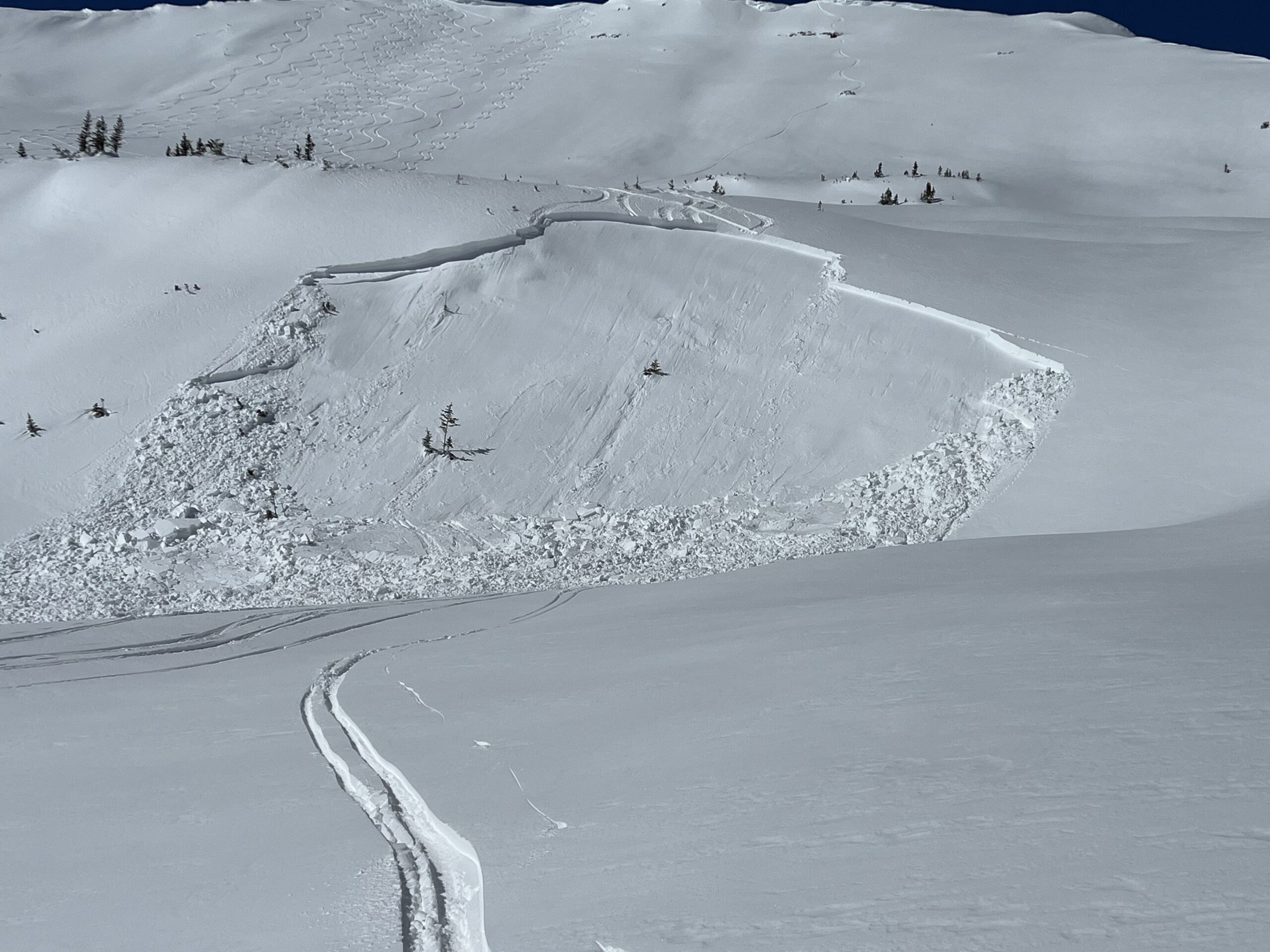
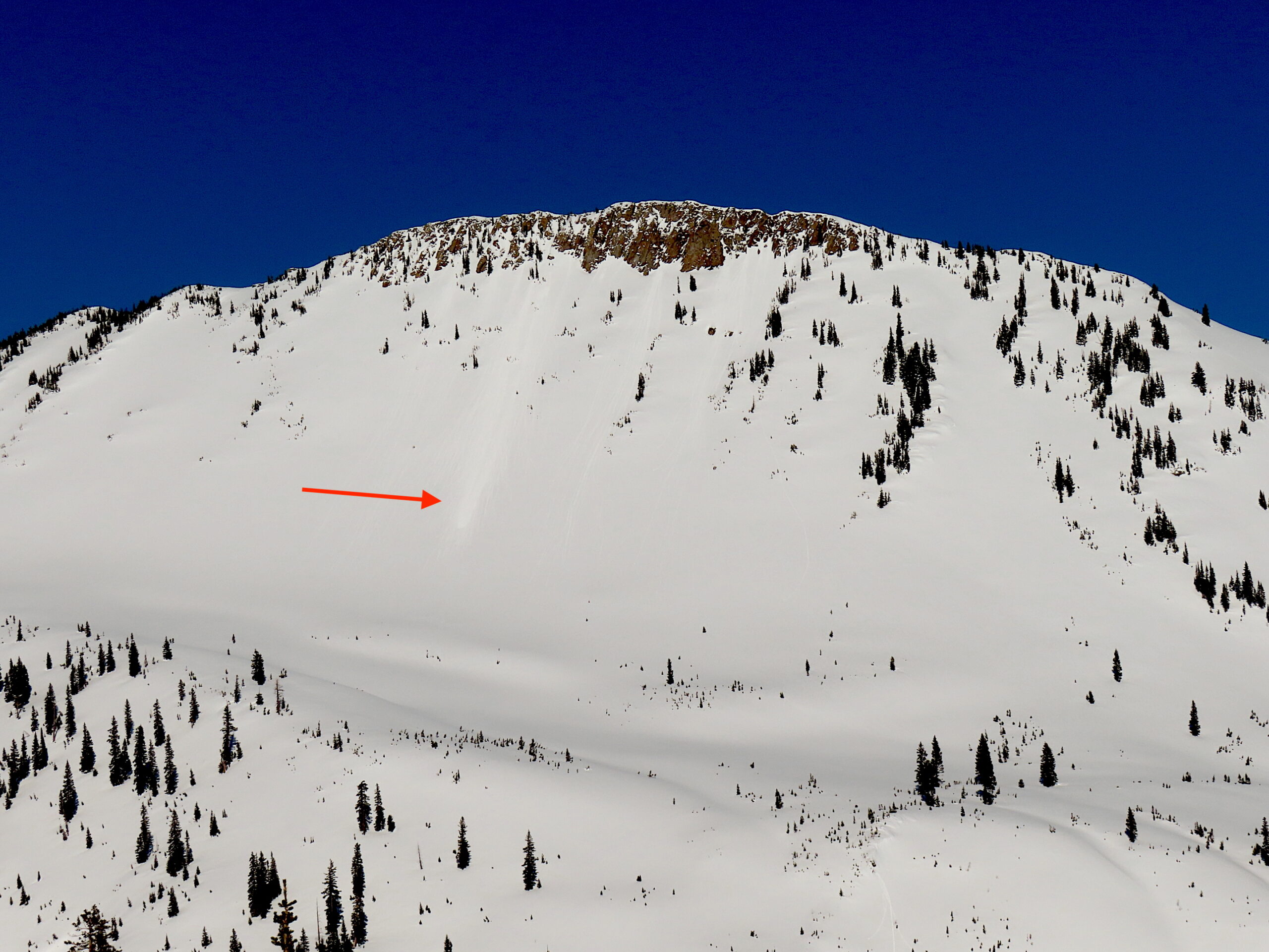
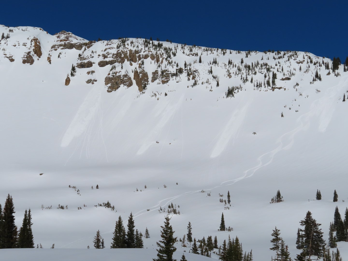
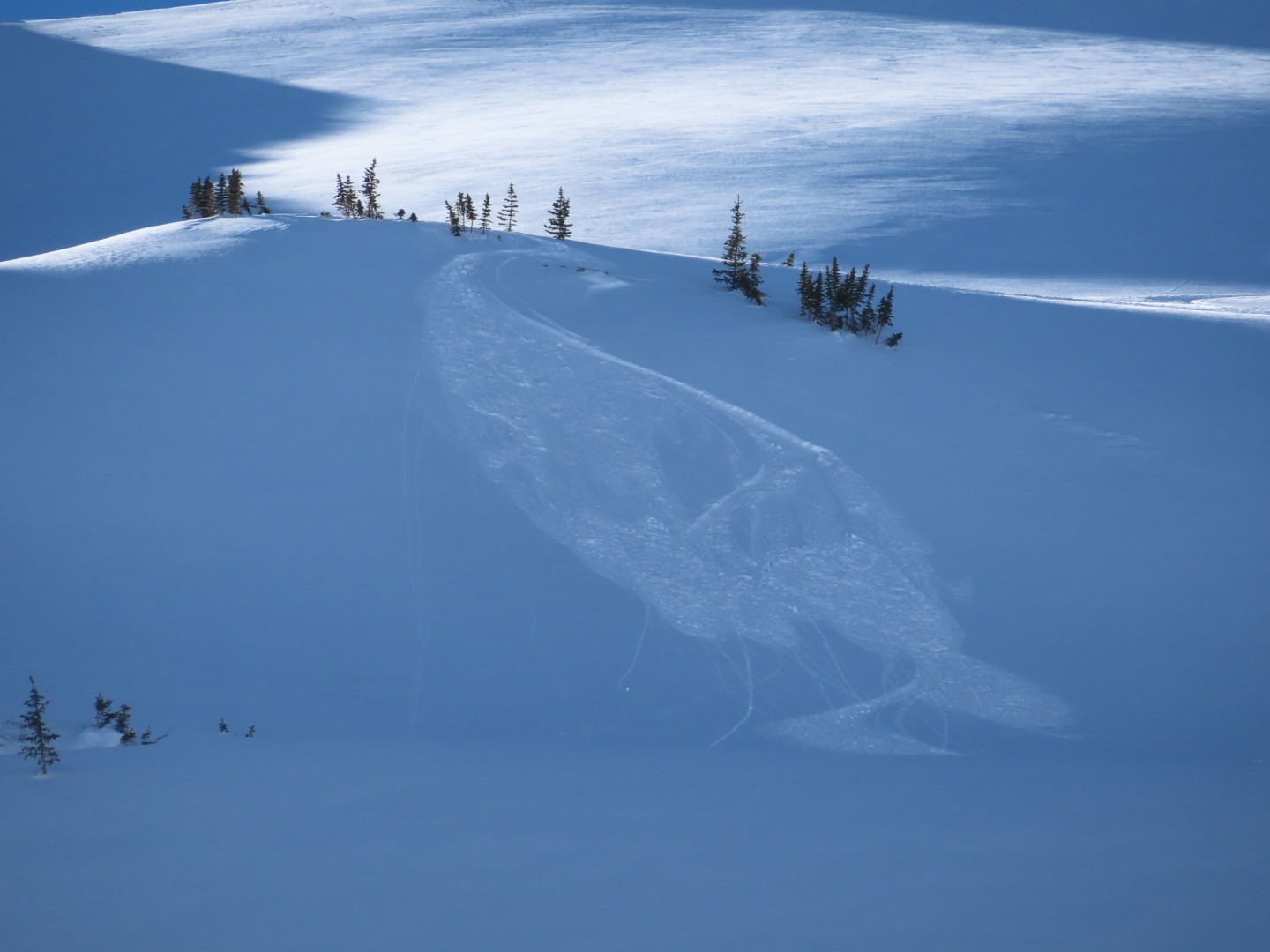
Avalanches: A handful of small loose avalanches ran on steep southwest aspects as the snow surface got moist, and we triggered some small sluffs as well. Spotted one natural soft slab (D1) that ran from a drifted near treeline slope during the recent storm.
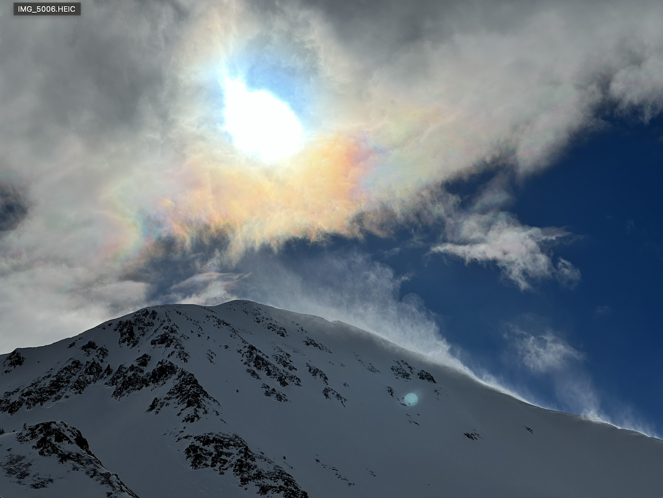
Weather: Clear skies, calm winds.
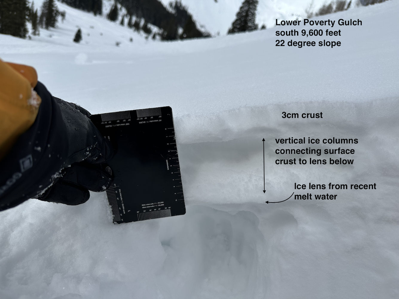
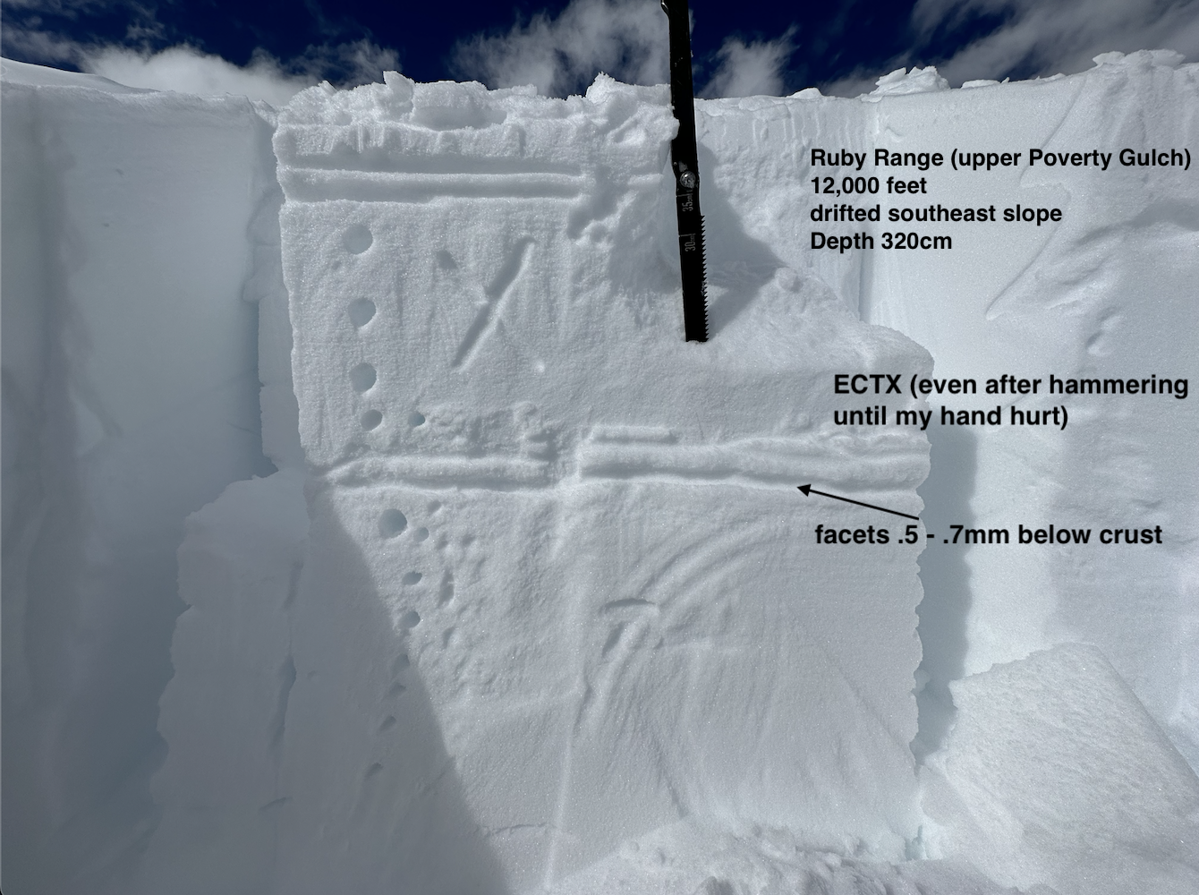
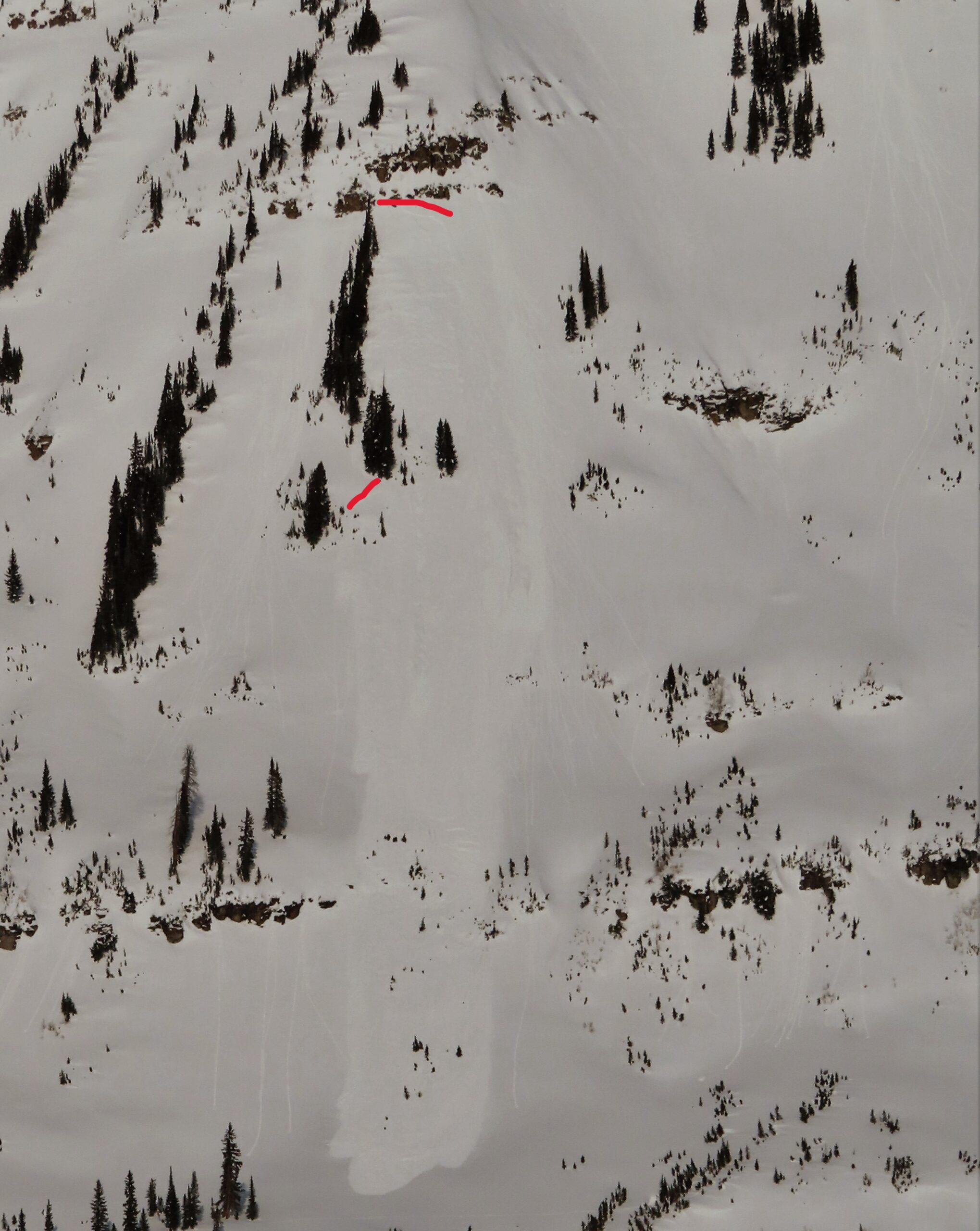
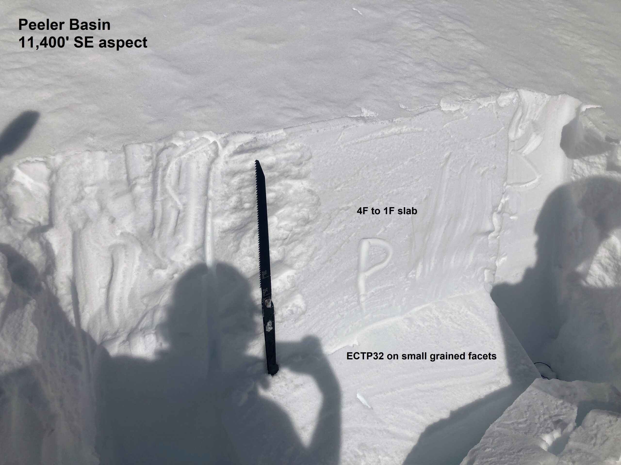
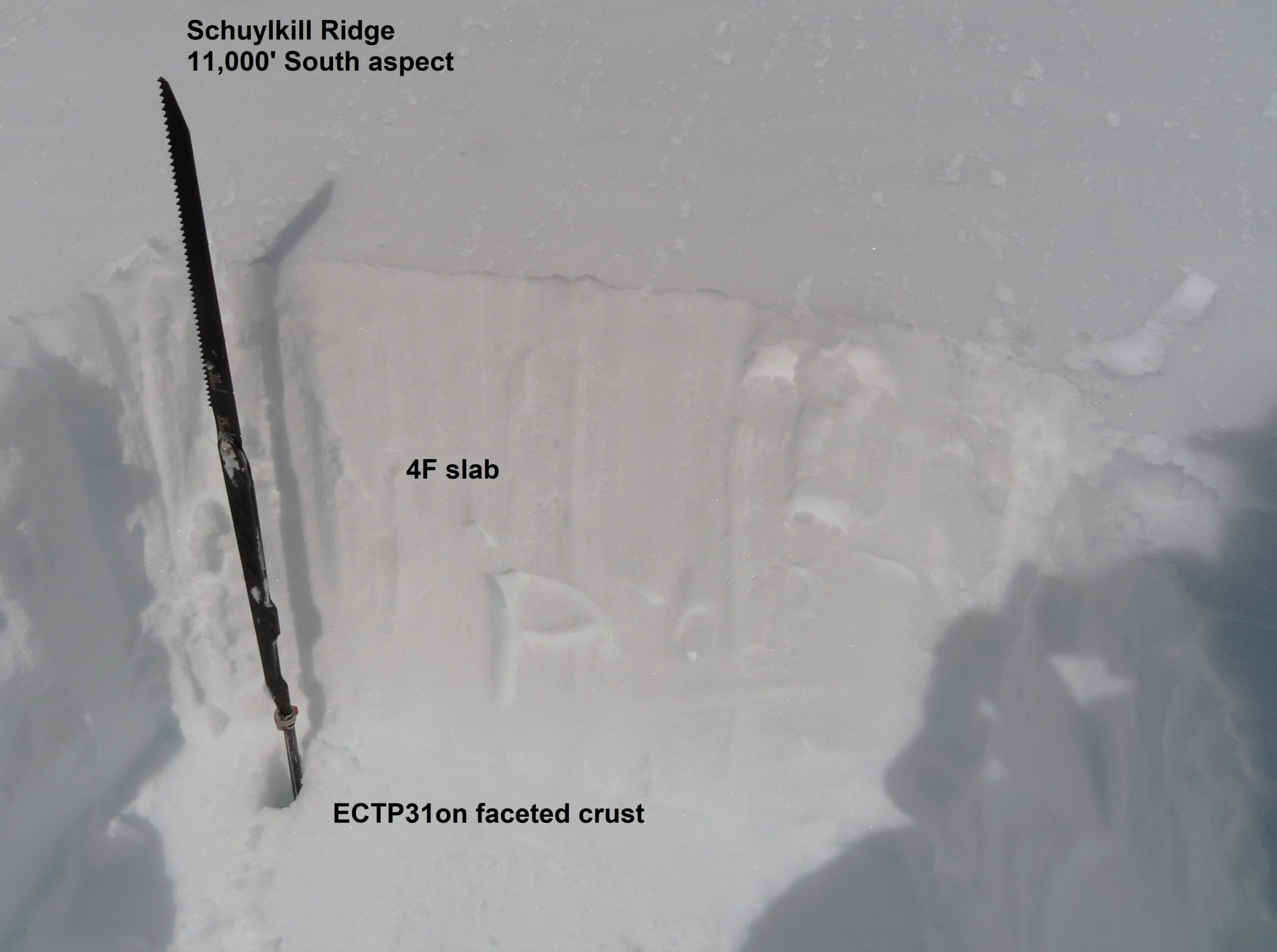
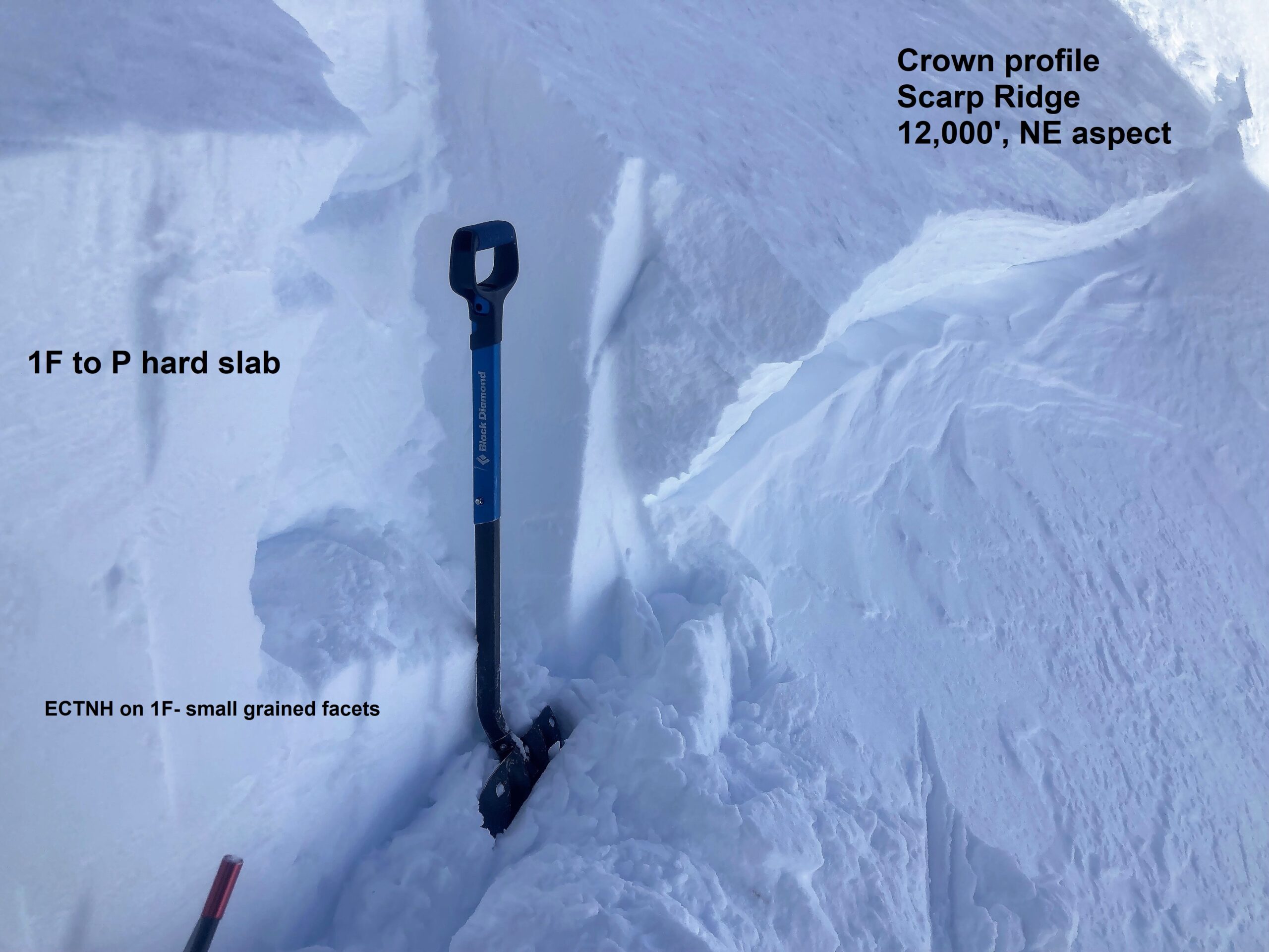
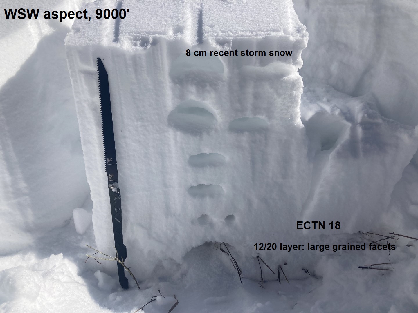
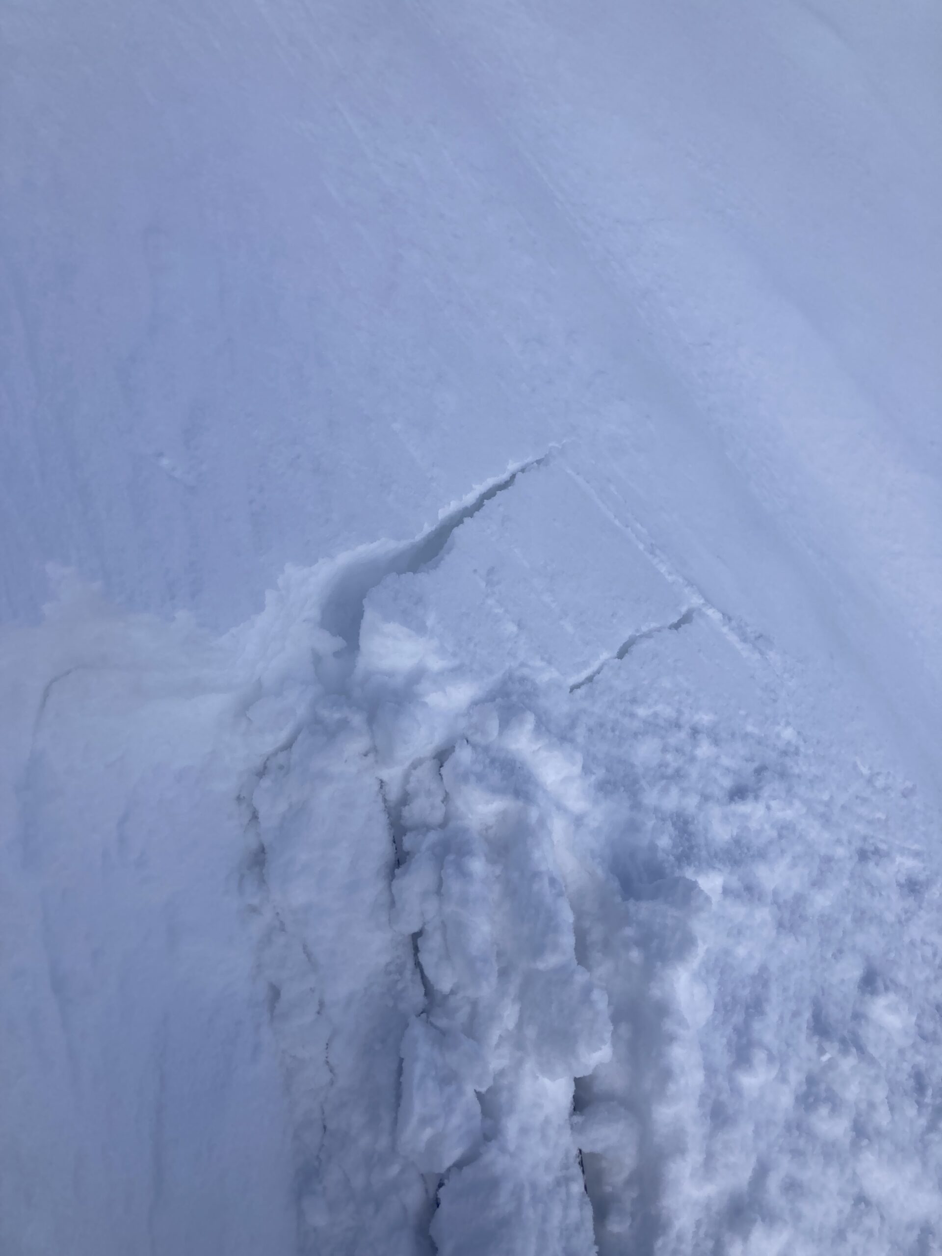
Snowpack: Went hunting for feedback on the wind slab problem and couldn’t really find any, apart from minor cracking below an alpine ridge. Evidence of wind effect and previous wind transport in the recent snow was less than expected. The strong pre-storm southwest winds late on Sunday formed wind crusts and wind board across most terrain before the snow fell, which appears to have effectively destroyed the faceted storm interface. Ski cuts on suspect terrain were unproductive. There’s about 5″ to 8″ of soft, settled powder on northerly aspects available for transport if northerly winds increase tomorrow.
-

- A few loose avalanches ran today as surfaces moistened.
-
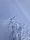
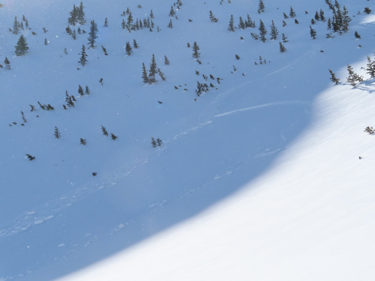
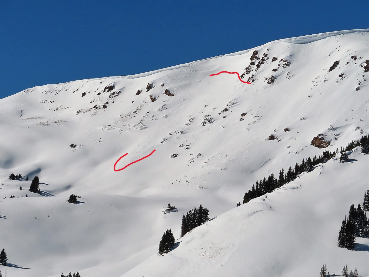
- This was the most cracking I was able to find, below a leeward ridge.
-

- Tested a number of steep rollovers like this without any results.
-

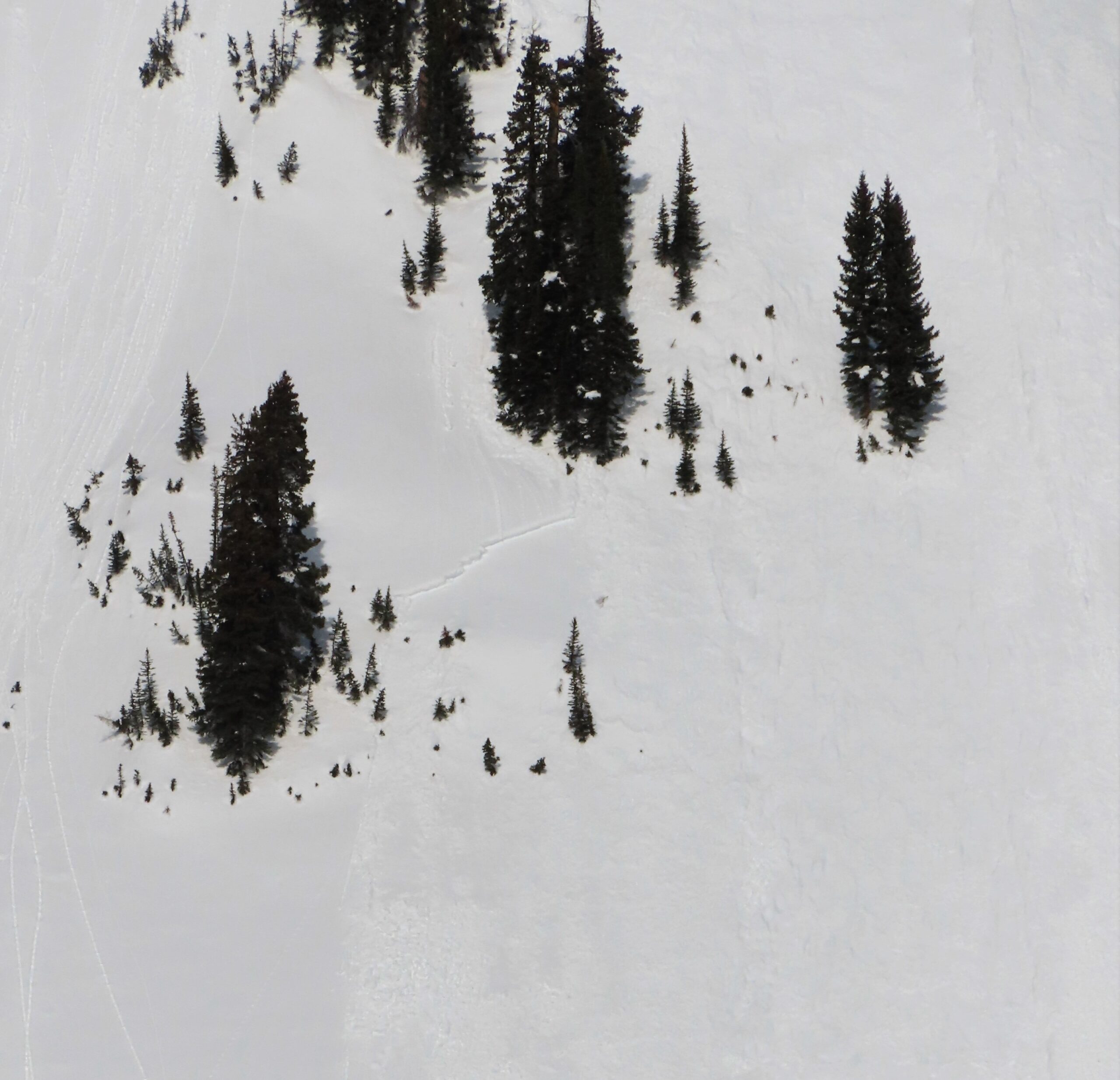
- Debris from a small, natural wind slab in Baxter Basin