Date of Observation: 03/06/2023
Name: Ben Pritchett
Zone: Southeast Mountains
Route Description: Cement Creek to Crystal Creek through Upper Taylor River to Taylor Pass.
Observed avalanche activity: Yes
Avalanches: Only a few cornice collapses, some which trundles vehicles size blocks. In one area near Star Pass the cornice chunks cracked a tiny D1 slab immediately below, but it did not propagate beyond the cornice collapse area.
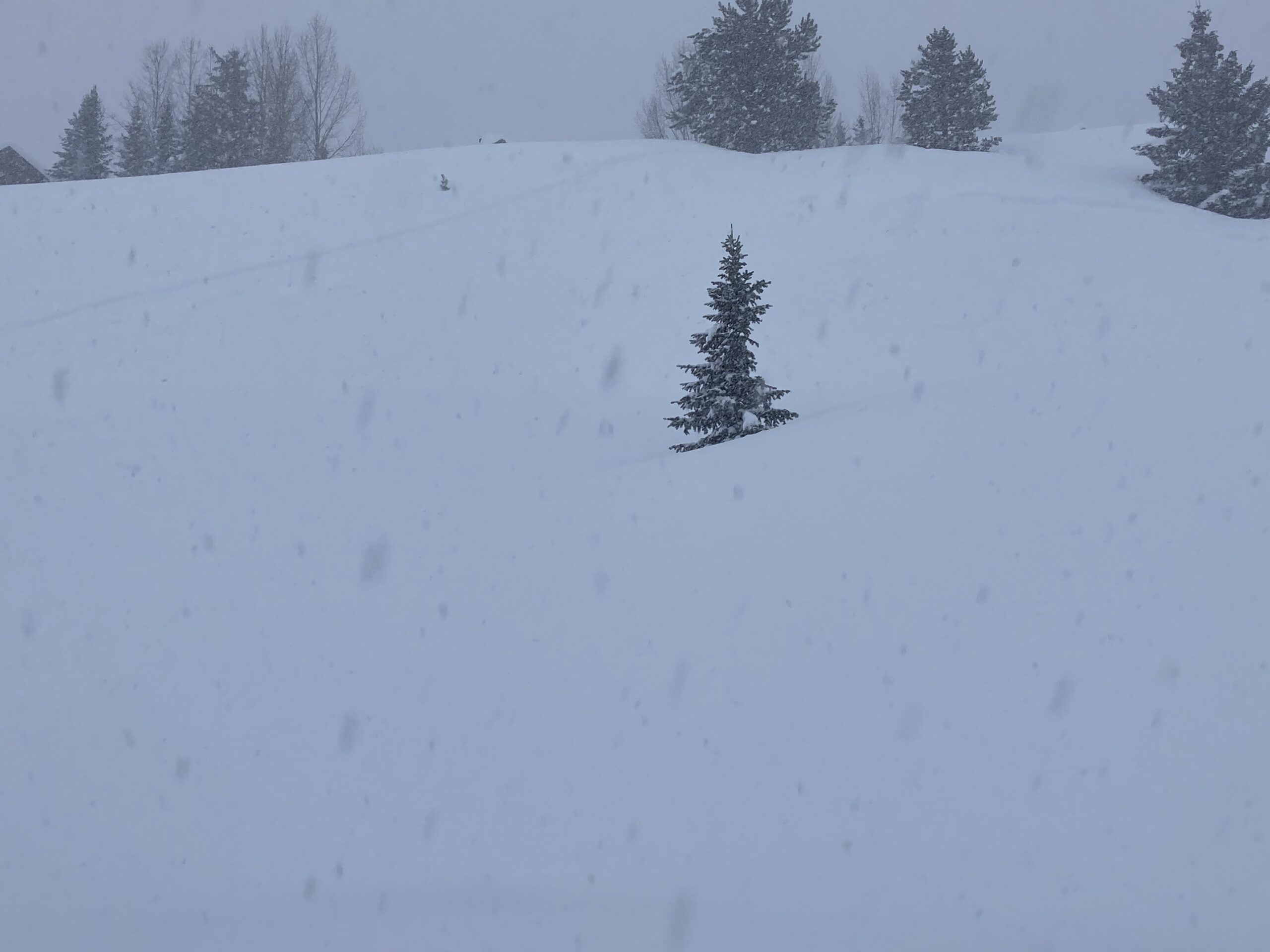
Weather: Nice day, Southwest winds increased in the afternoon just enough to move snow along ridges. Valley bottom temperatures reached around 40 degrees
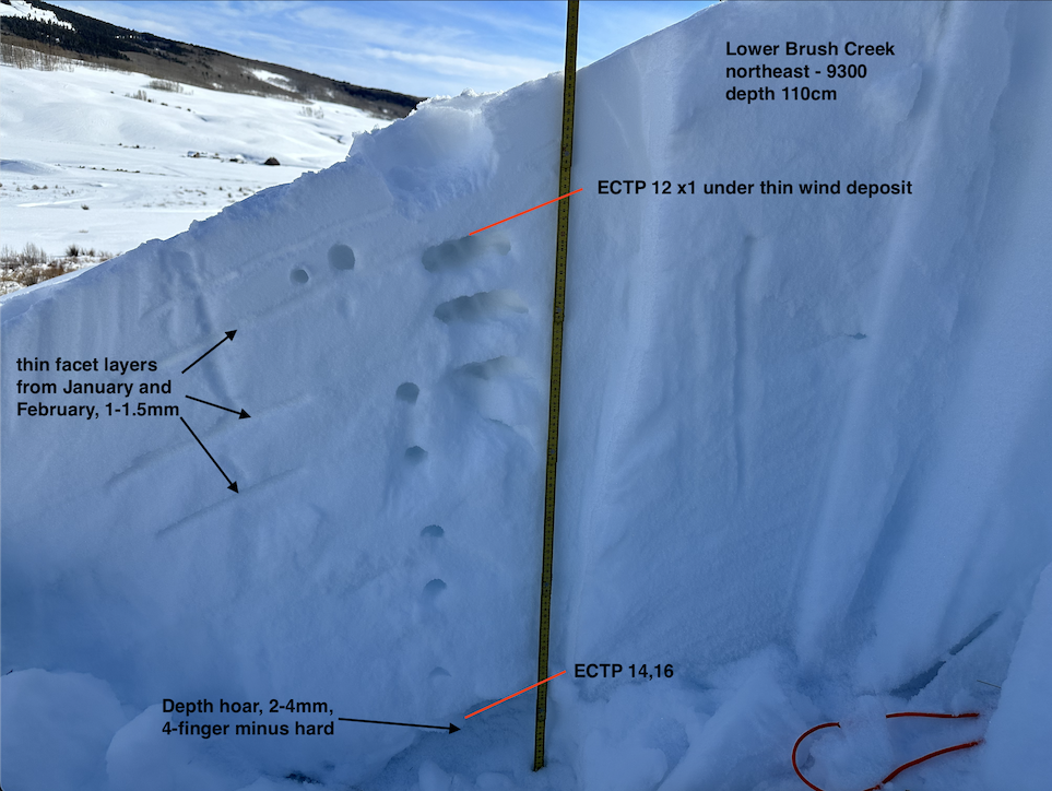
Snowpack: The March 3-4 wind event ravaged this area, scouring and sublimating snow surfaces in the alpine. The winds drifted snow deep into the treeline, forming discontinuous pencil-hard slabs in below-treeline meadows and behind wind-breaks near treeline.
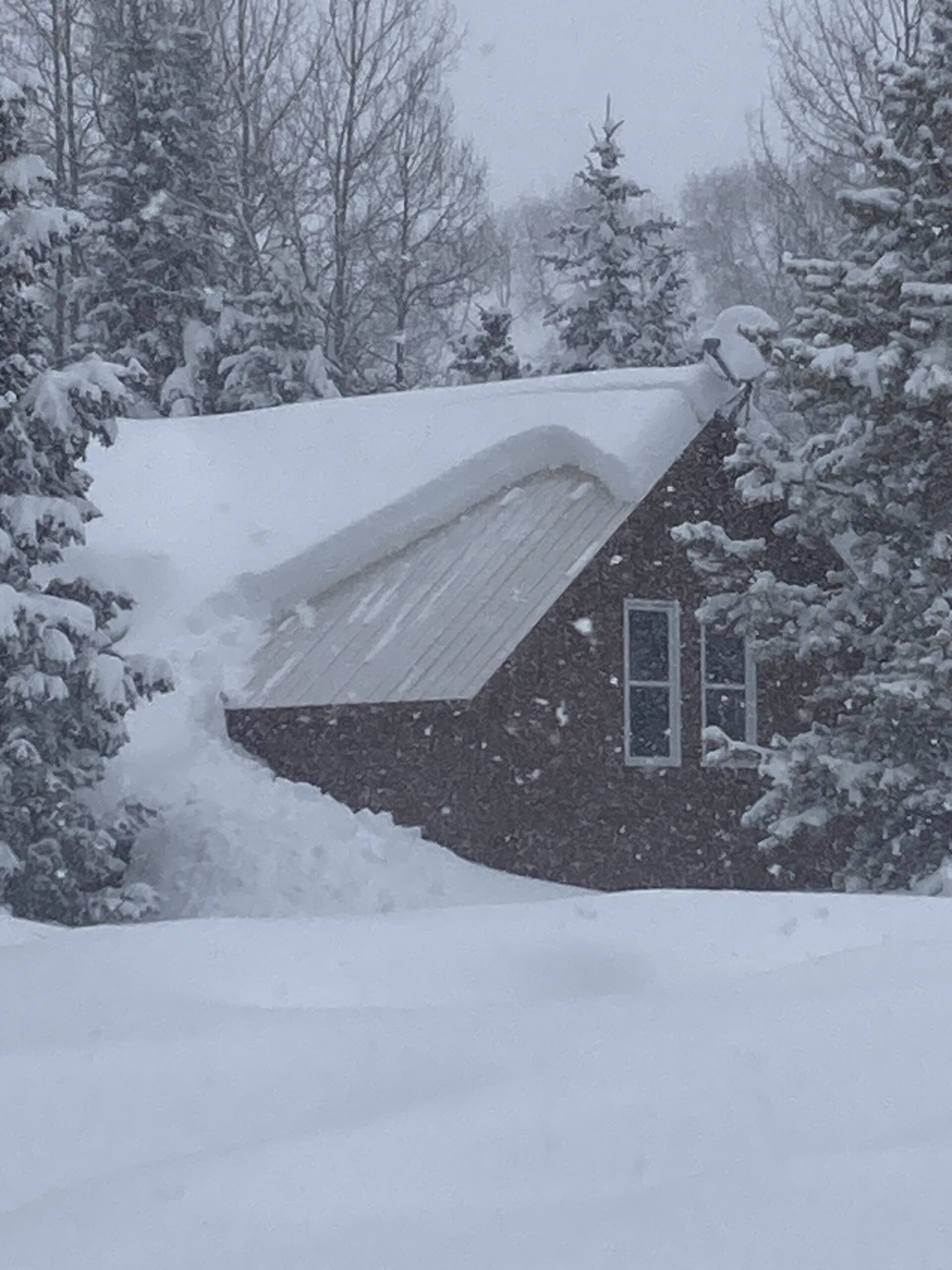
Height of snow in wind-sheltered near treeline locations generally ranged from 140 to 180cm. We measured snow in the alpine generally around 150 to 170cm, but well over 300cm in drifts, with bare ground on ridges after the wind event.
We saw inconsistent new wind-slab formation in start zones, with scoured textures below many cornices adjacent to pockets of pencil hard drifts (mostly wind-eroded old drifts). These drifts proved unreactive, with no cracking seen through 50+ miles of terrain covered. The drifts were too hard to impact with snowpack tests.
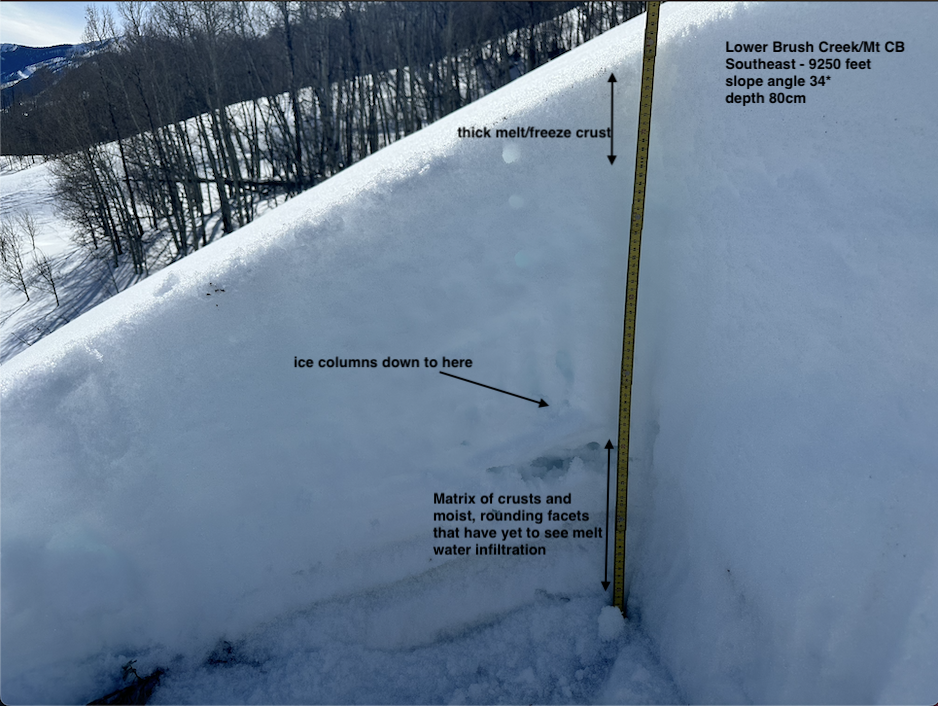
Below 11,000′, snow surfaces wetted on southerly-facing terrain. We experienced a couple very localized collapses (with no visible cracking) where water percolated down to the mid-February crusts. Water was pooled on top of the uppermost crusts, around 30cm below the snow surface.
Photos:
-

-
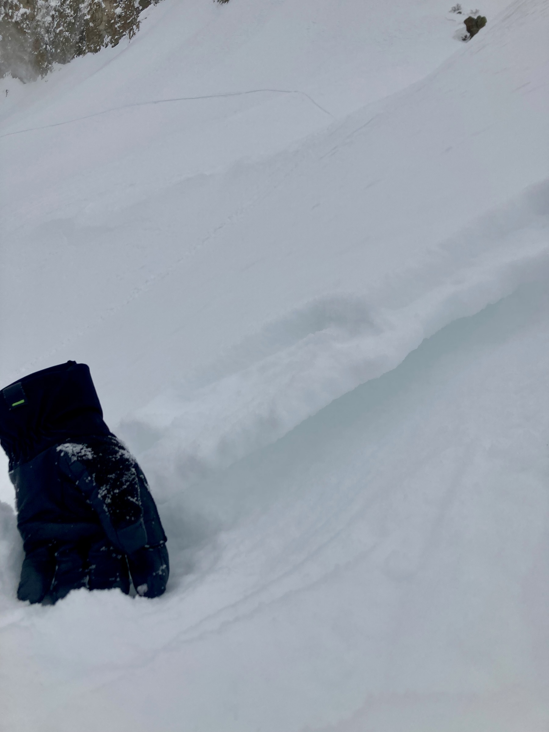
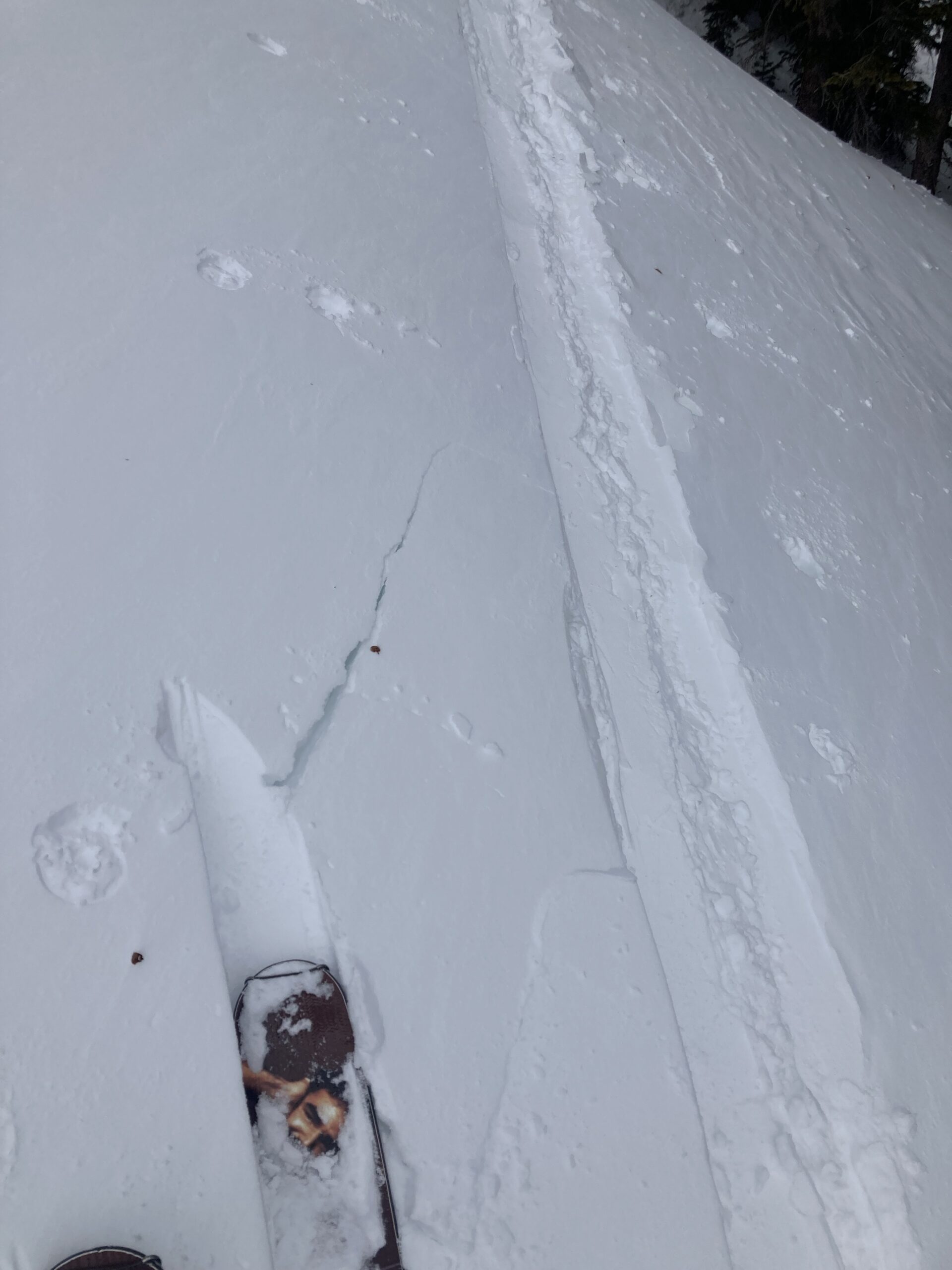
A profile dug in a shallow area on a south-facing slope where we experienced localize collapse. Wet snow surfaces drained water down to the mid-February Crusts. March 6, 2023.
-

-
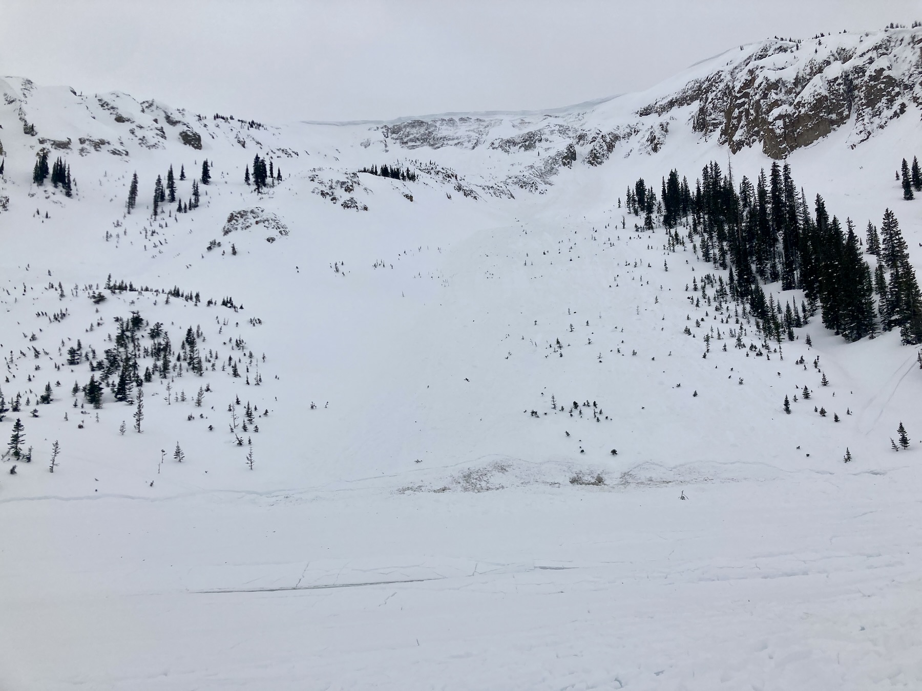
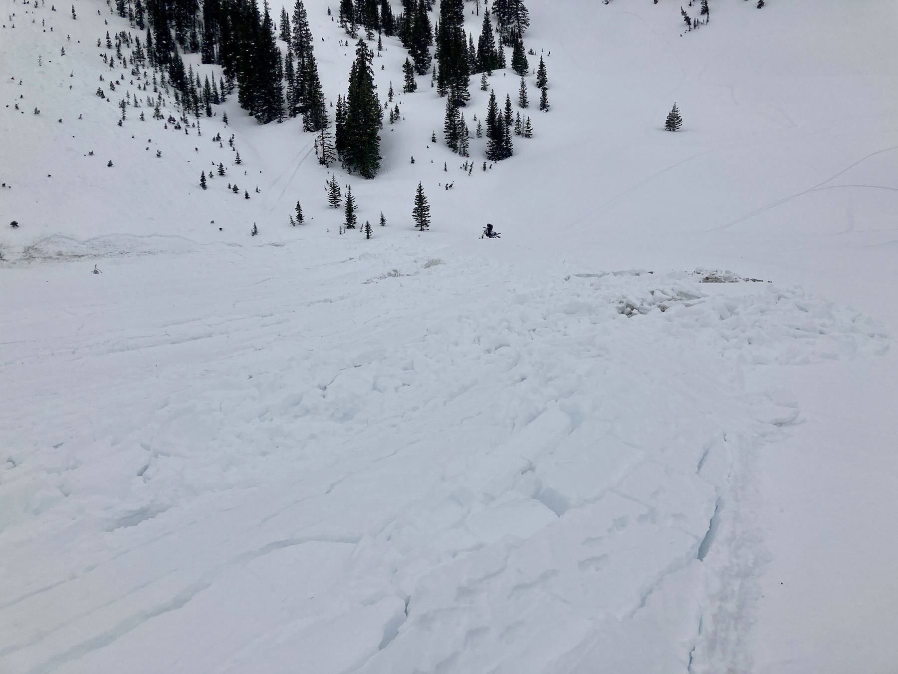
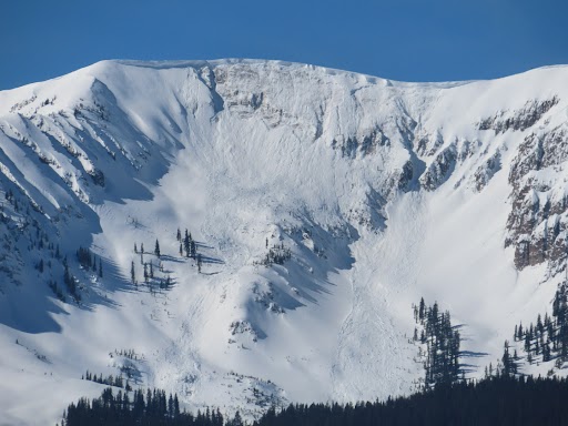
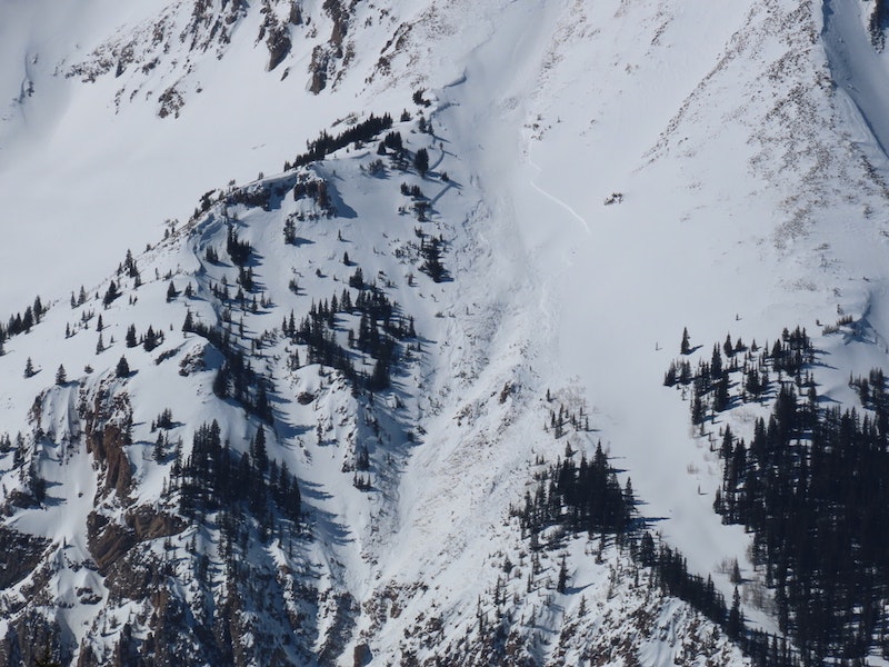
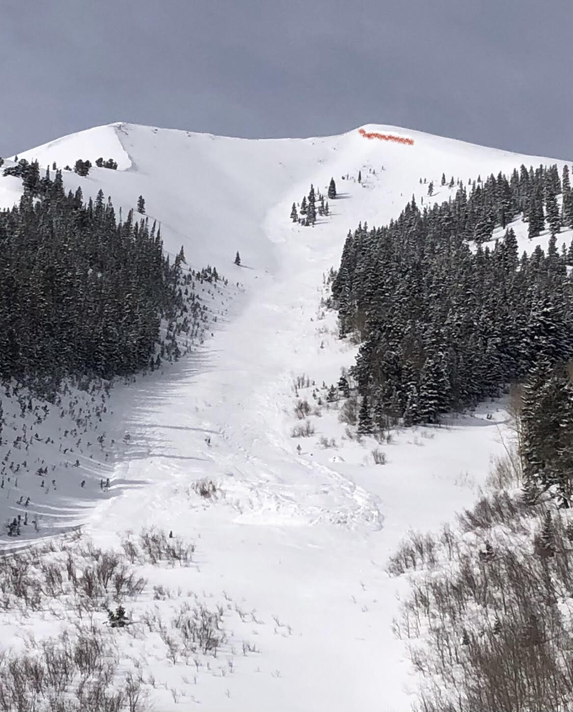
A previously reported avalanche above Pine Creek, near Ashcroft that broke on a southeast-facing slope. Note the comparatively shallow, and highly-variable snowpack near the avalanche. March 6, 2023.
-

-
A closer view of that Pine Creek avalanche, March 6, 2023.
-

-
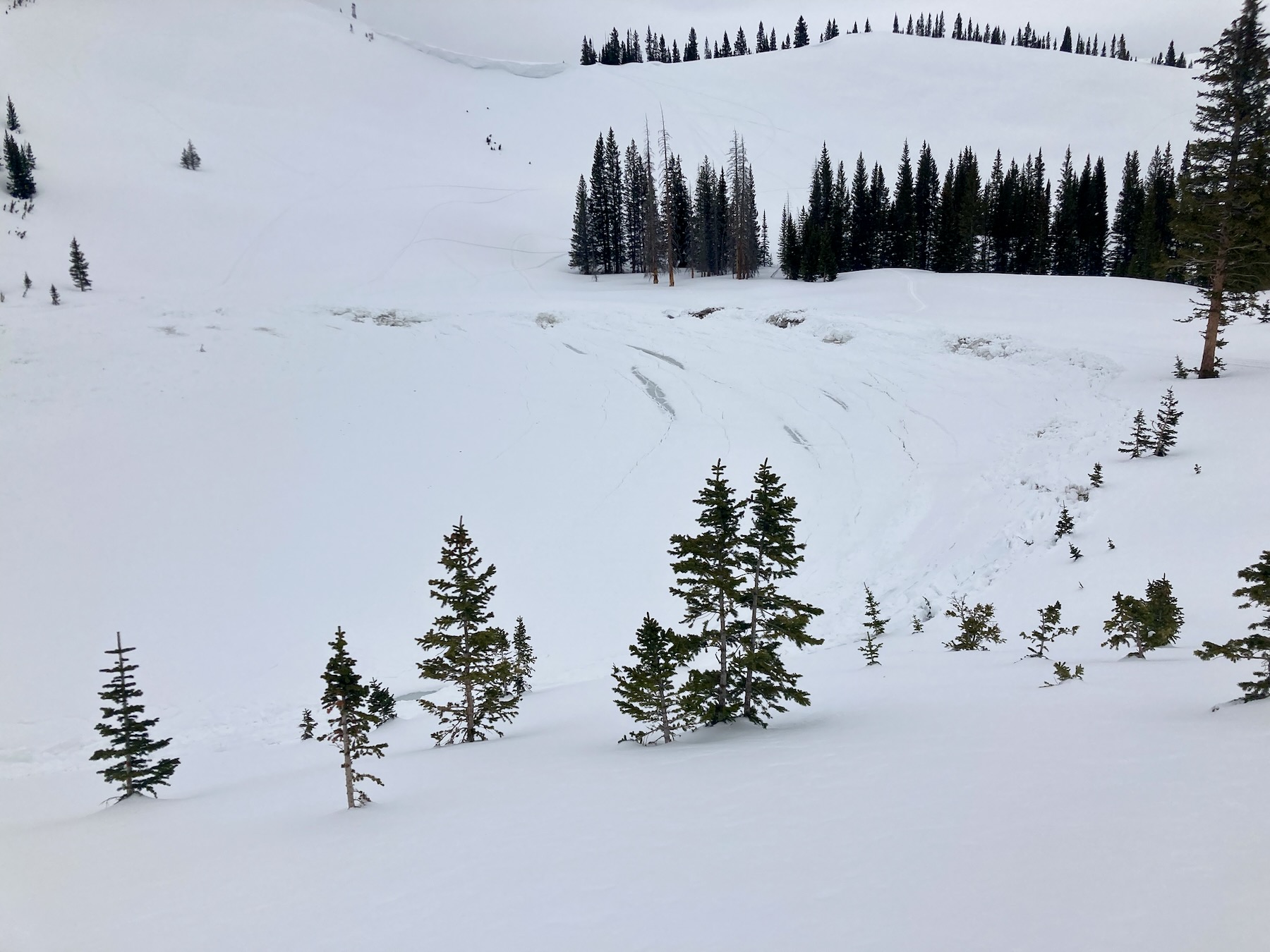
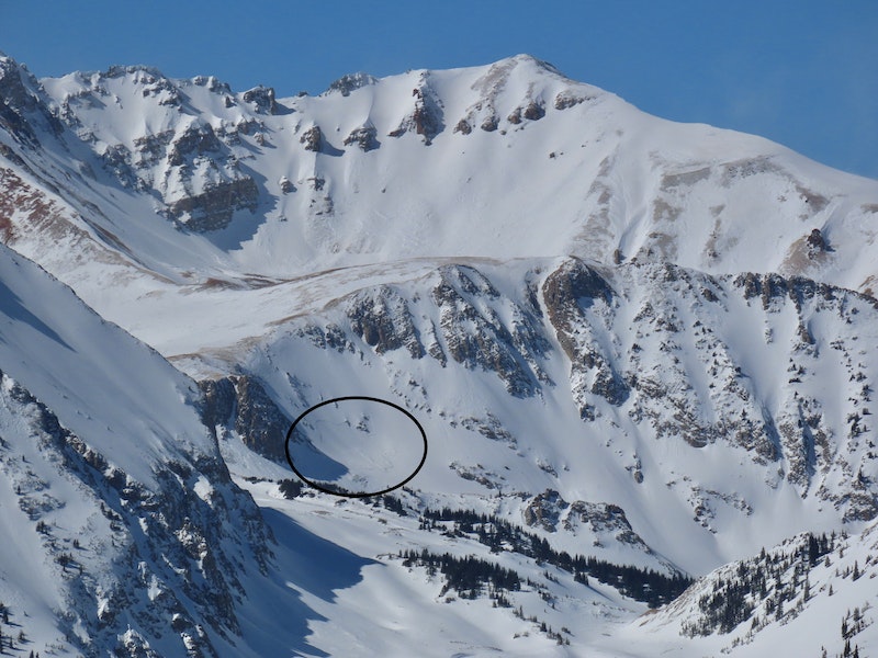
A recent Wind Slab avalanche that broke below Hayden Peak, just above American Lake. March 6, 2023.
-
-
A closer view of the Hayden Peak avalanche. March 6, 2023.
-

-
A previously reported avalanche in the 5-Fingers area near Aspen Highlands. March 6, 2023.
-
-
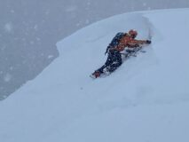
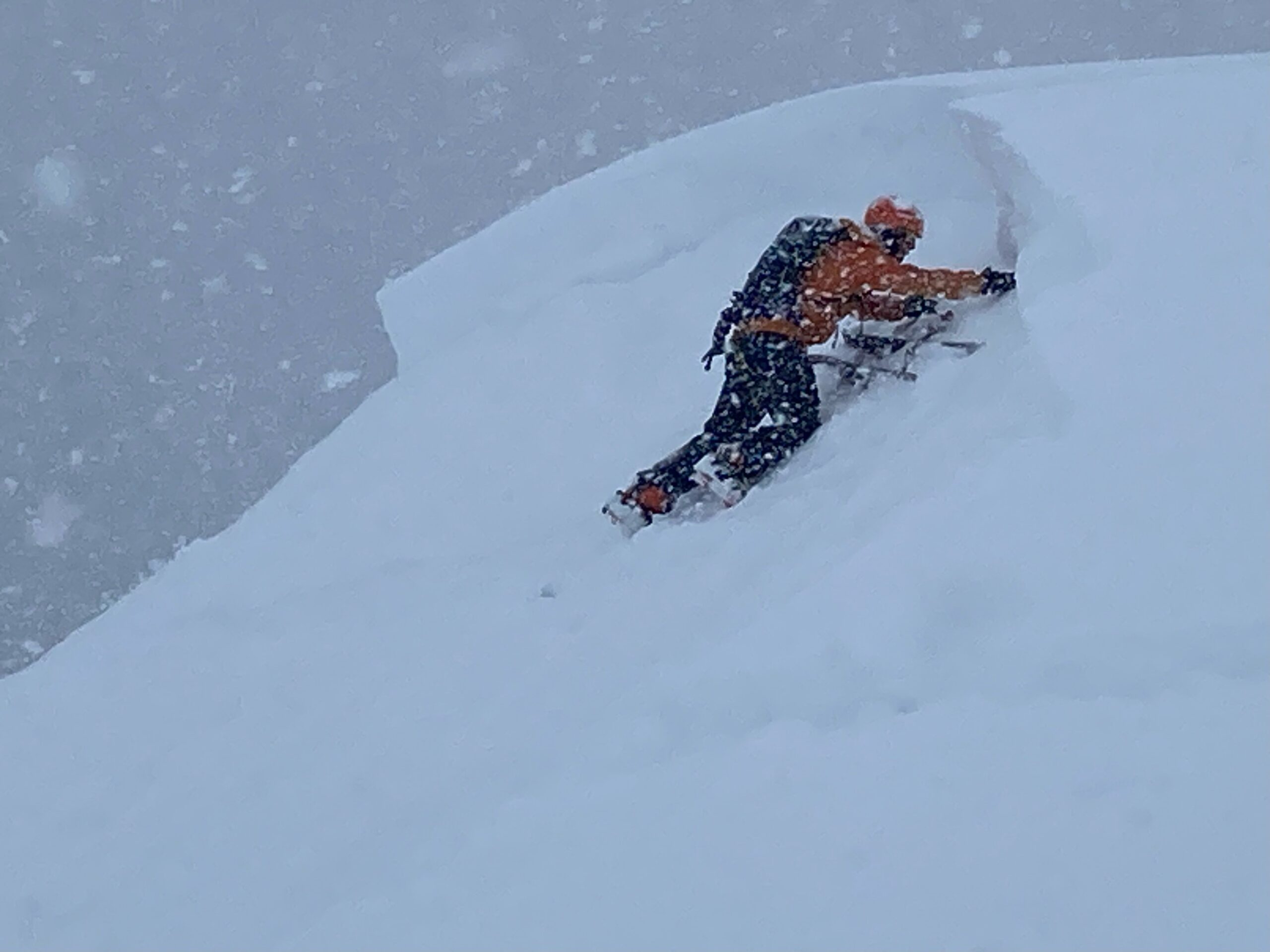
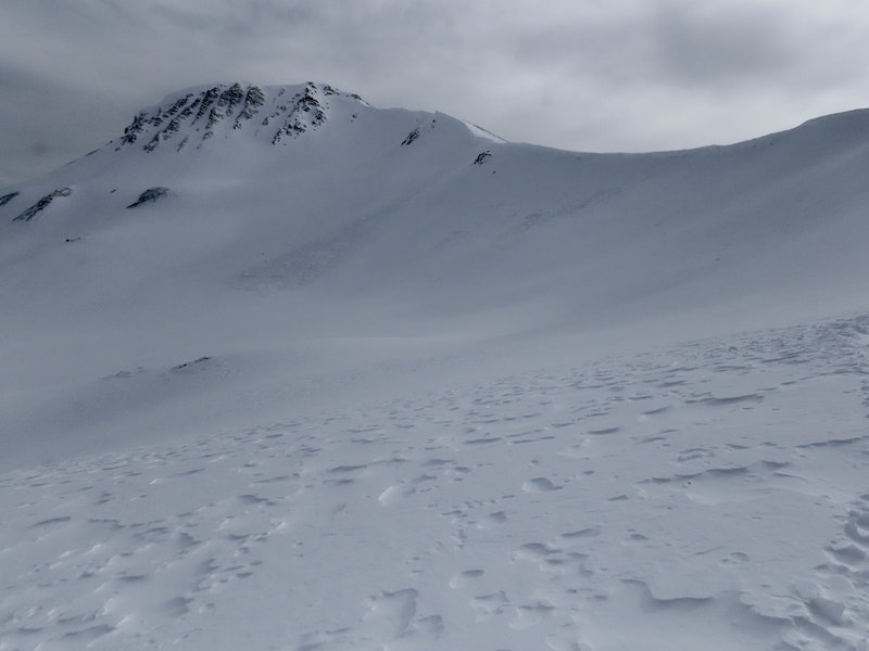
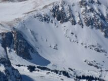
A couple of sections of cornice calved off near Star Pass, with Crystal Peak in the distance. March 6, 2023.
-
-
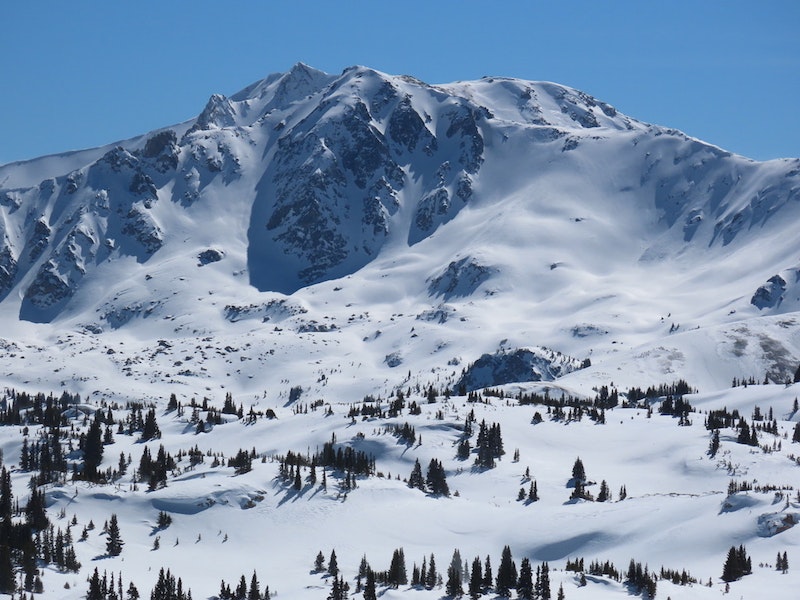
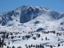
Surprisingly deep snowpack in Eyre Basin, near Cement Creek. Note the exposed boulders below Peak 13,051′ are generally truck to house-sized. March 6, 2023.
-

-
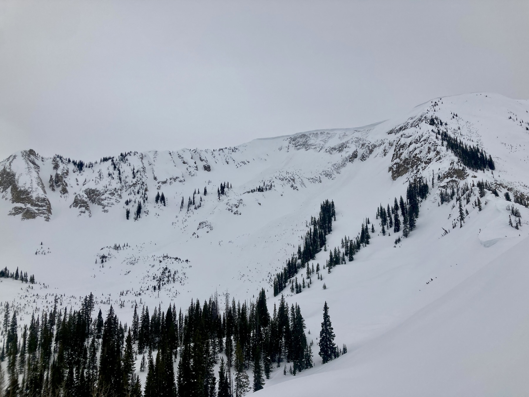
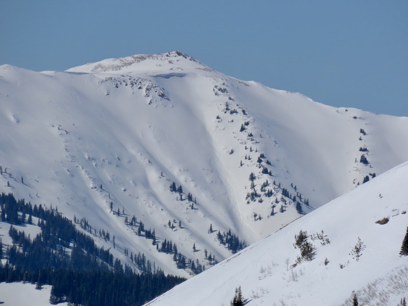
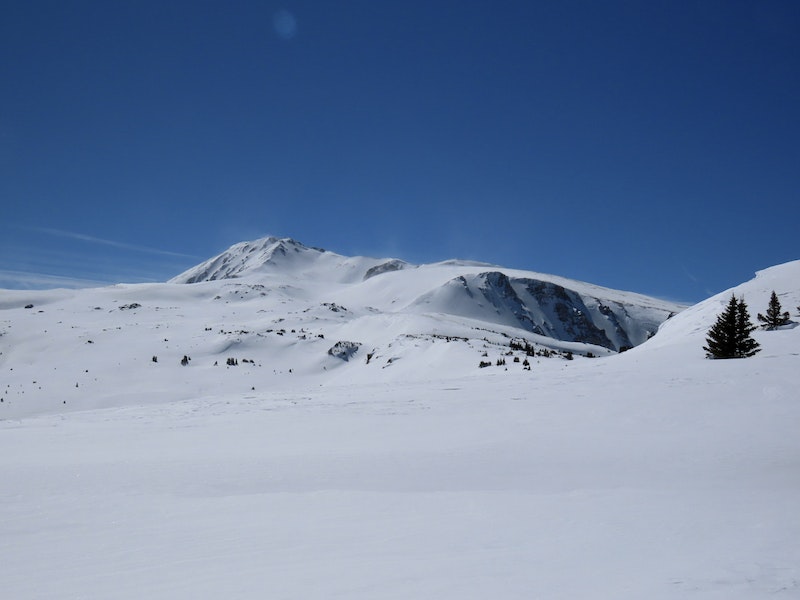
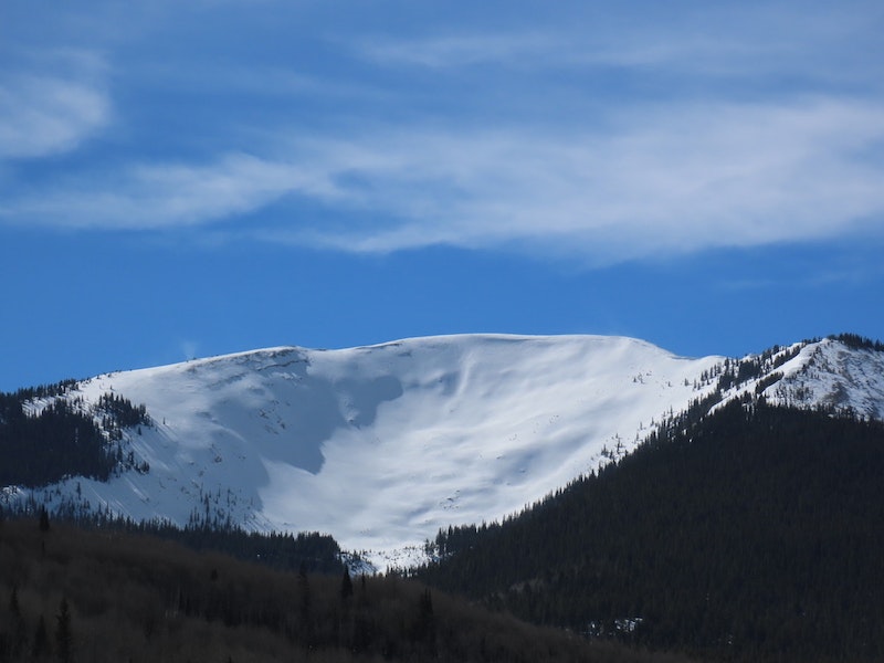
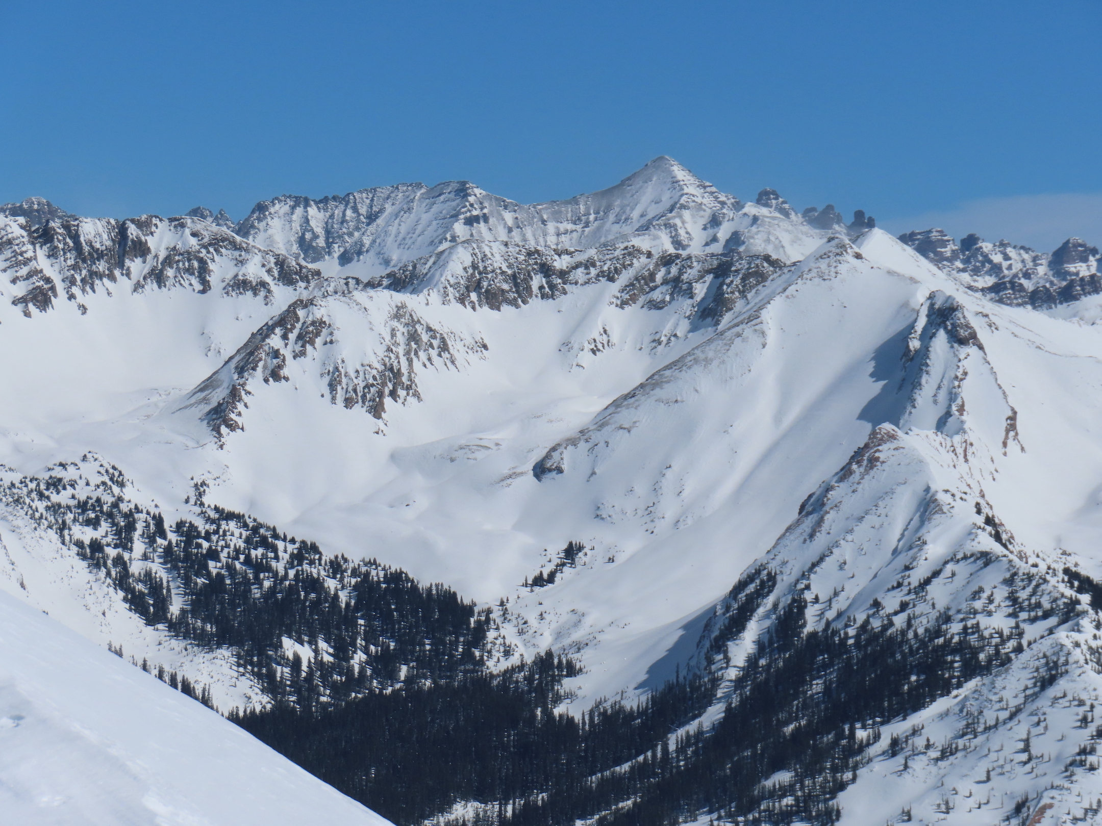
Taylor Peak and Italian Joe Pass, which looks a deeper than the area near Ashcroft. March 6, 2023.
-

-
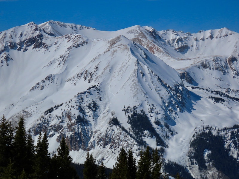
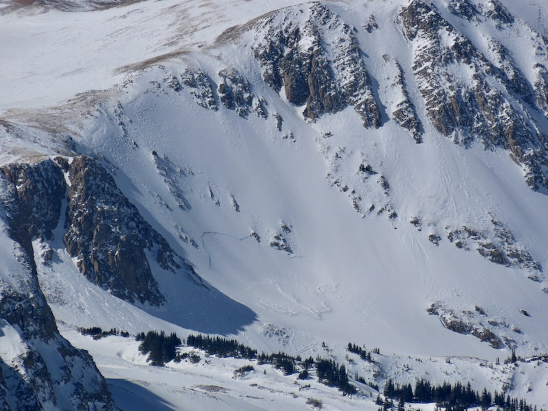
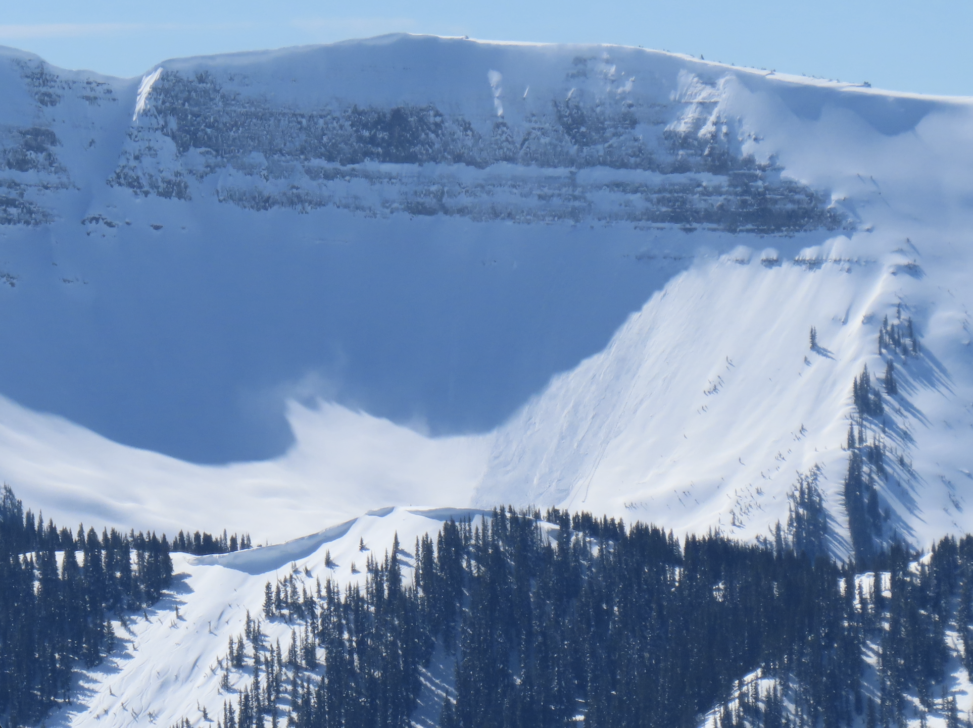
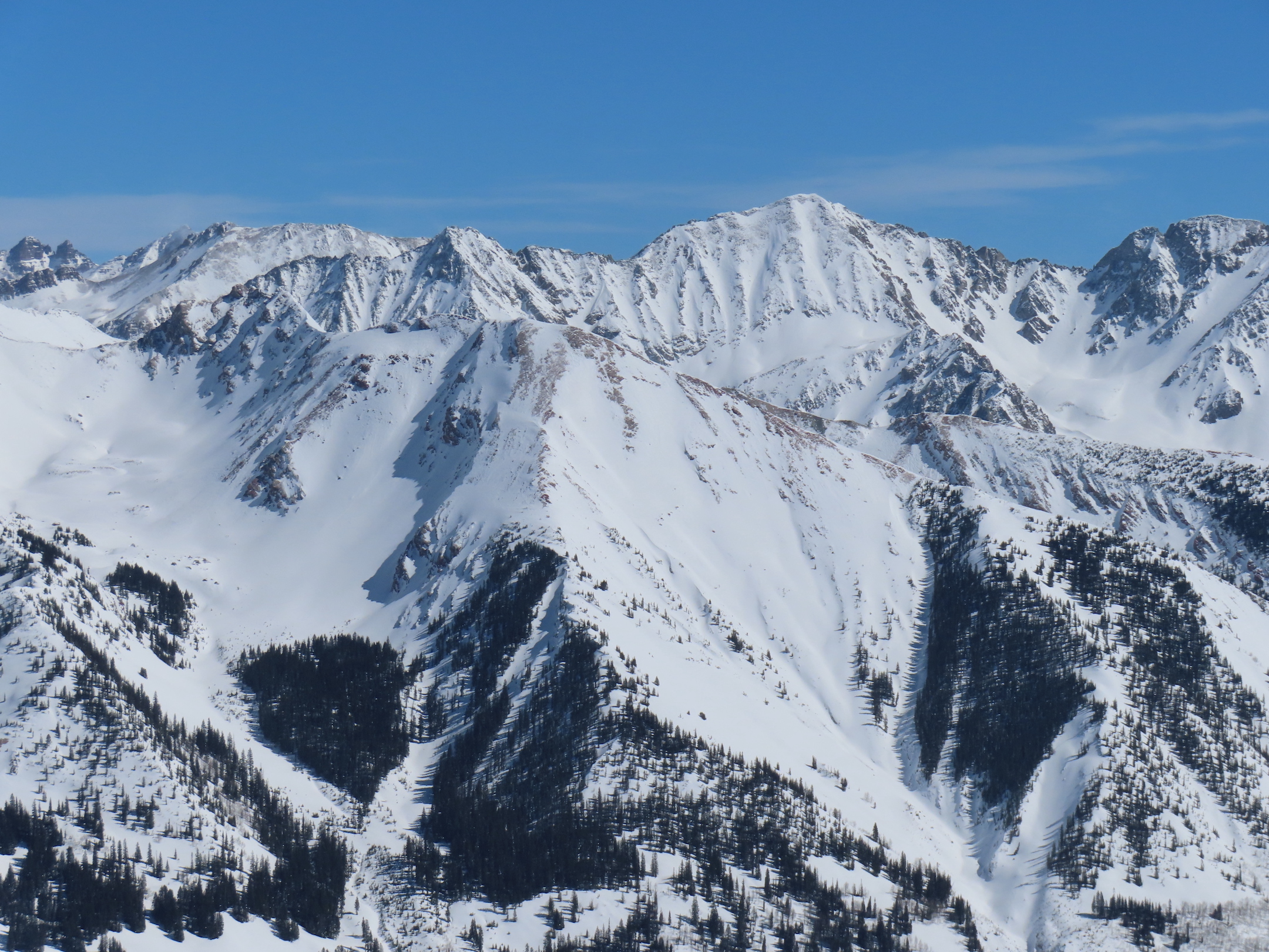
Ashcroft Mountain (right) and the peaks above Ashcroft, where several large avalanches ran recently. March 6, 2023.
-

-
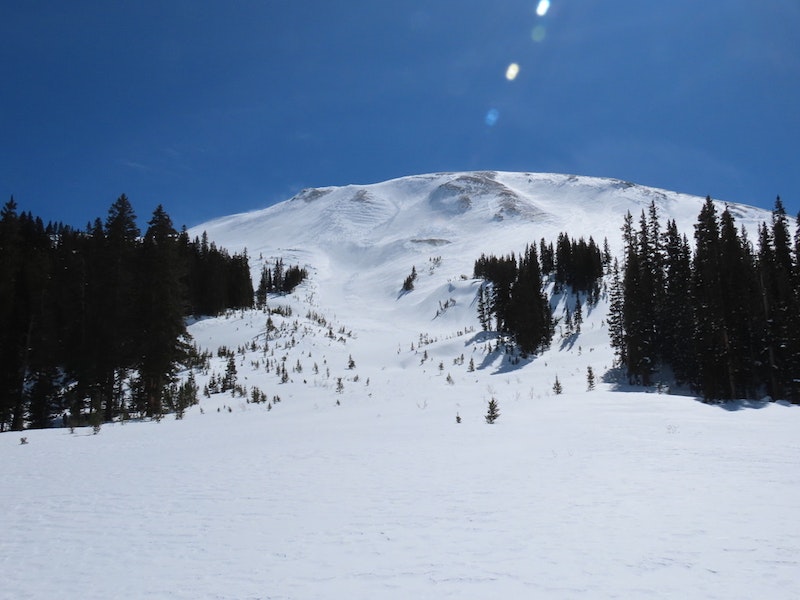
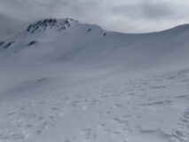
Surprisingly no activity on any of the paths in the Upper Taylor drainage, like these below Mount Tilton. March 6, 2023.
-

-
Cement Mountain. March 6, 2023.
-

-
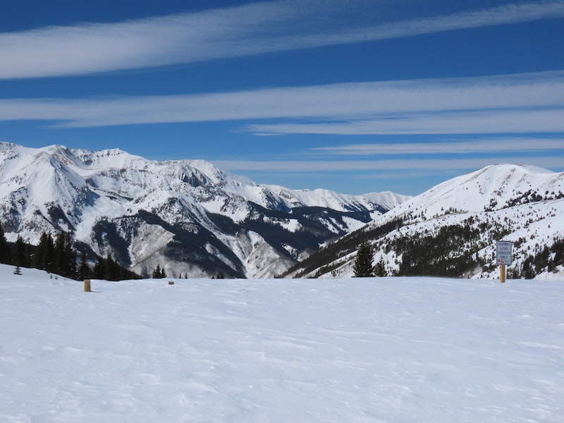
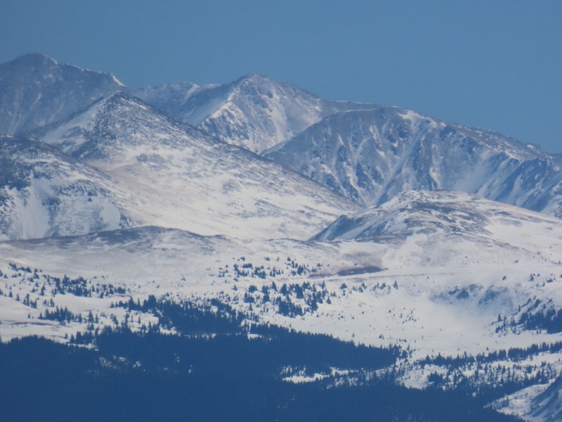
A distant view toward Cottonwood Pass. The road crosses the image. March 6, 2023.
[/gravityforms]
Estimated avalanche date: 03/06/2023
Number of Avalanches: 2
Location
Location: East Brush Creek (Star Pass, Friends Hut)
Location Specific:
Start Zone Elevation: ATL: Above Tree Line
Aspect: E
Characteristics
Trigger: Cornice fall
Trigger modifier:
Type: Cornice
Failure Plane:
Size
Relative Size: R1 very small
Destructive Size: D1- Relatively harmless to people
Avg. crown height (inches):
Avg. width (feet):
Avg. vertical run (feet):
Involvements
# of people caught:
# of partial burials:
# of full burials:
Additional comments:
6077