Date of Observation: 03/27/2023
Name: Zach Guy
Zone: Northwest Mountains
Route Description: Upper Slate, Purple Palace area to 11,000′, traveling on easterly aspects.
Observed avalanche activity: Yes
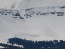
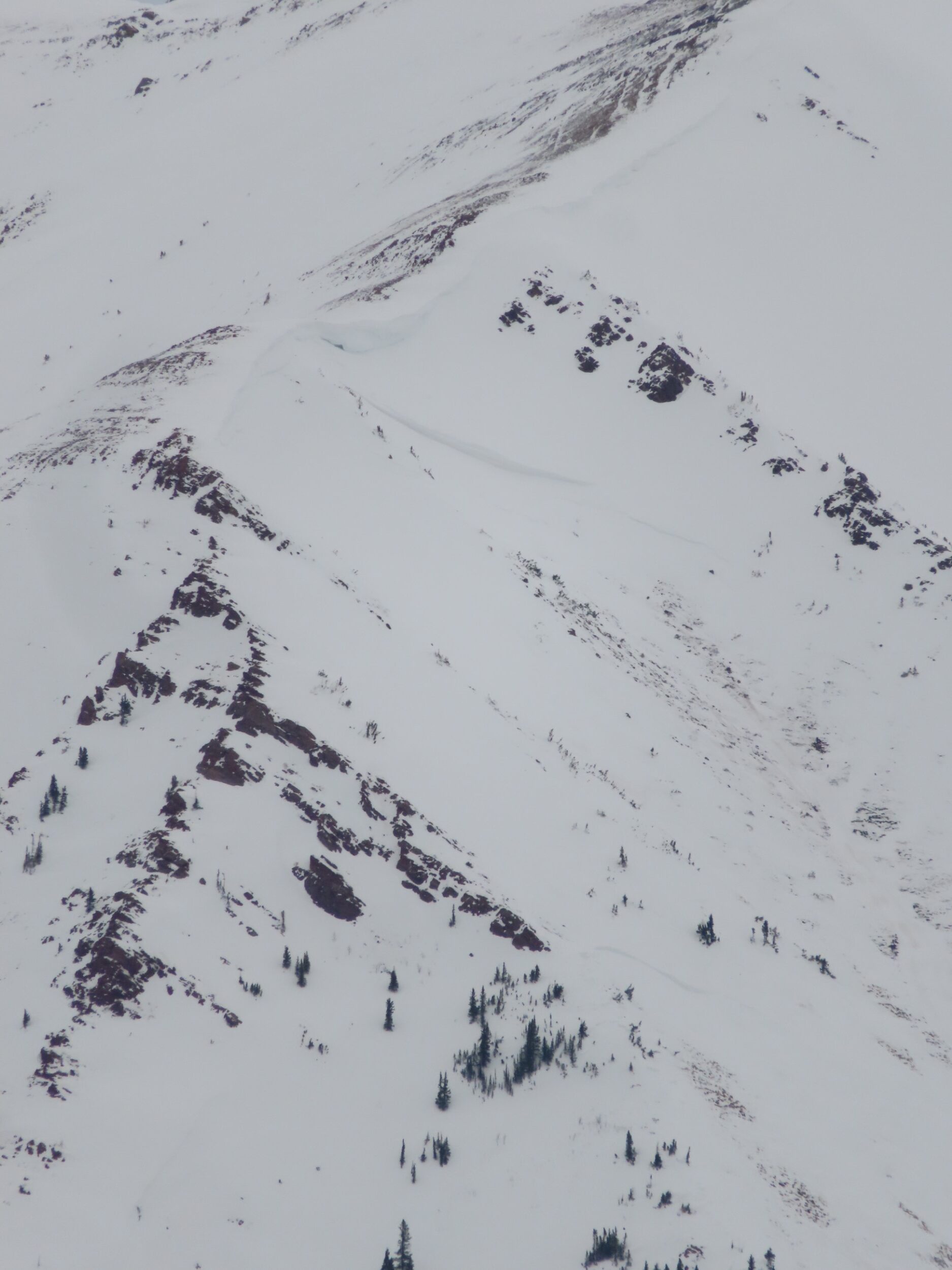
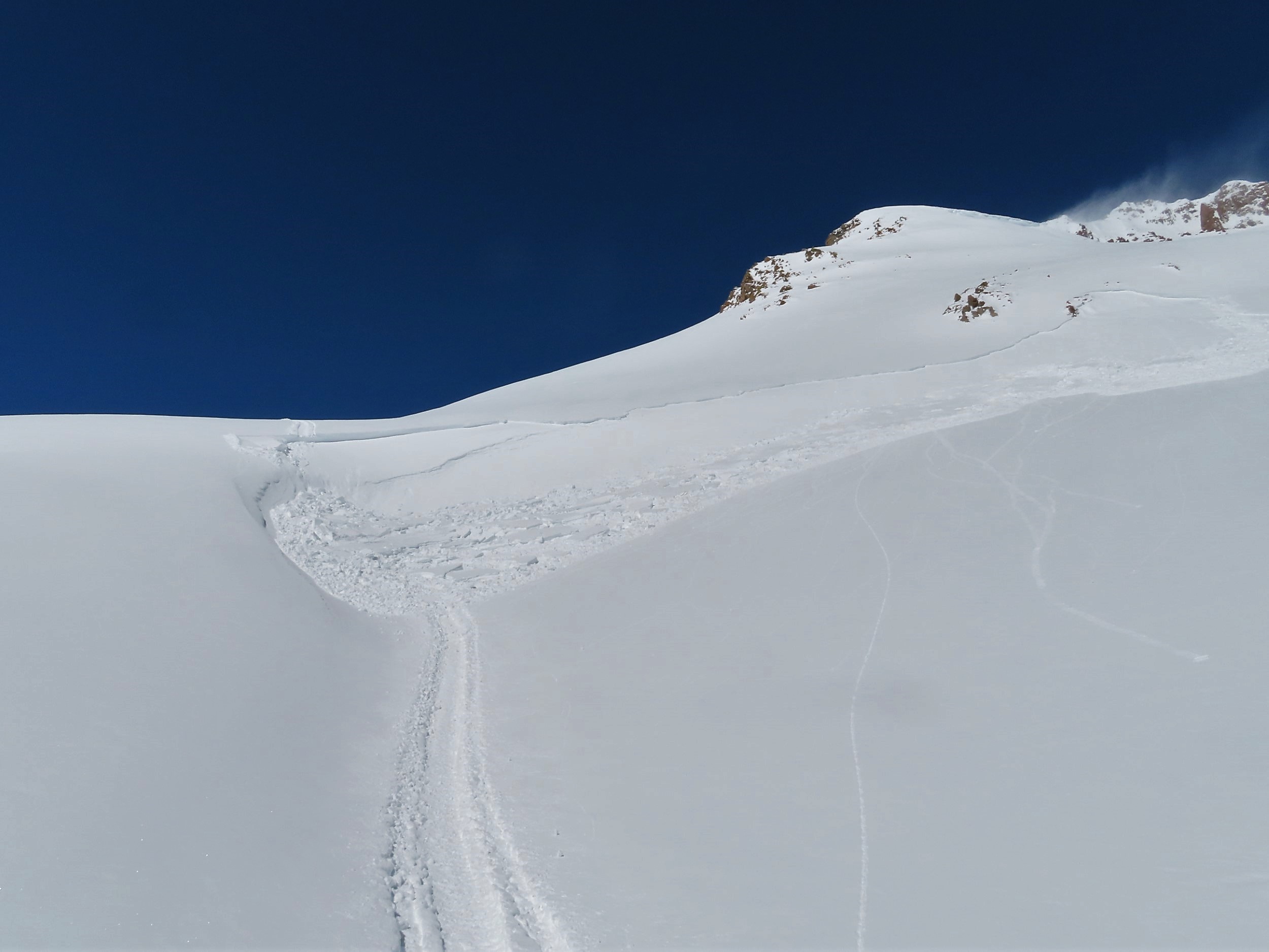
Avalanches: Snowmobile cut an 18″ wind slab on Slate cut bank feature that catches efficient downvalley drifting. The slab failed on the 3/24 crust on a south aspect BTL.
Weather: Overcast, S-1 to S1 snowfall with an inch or two of accumulation today. Light northwest winds and light transport below treeline. Still coooold.
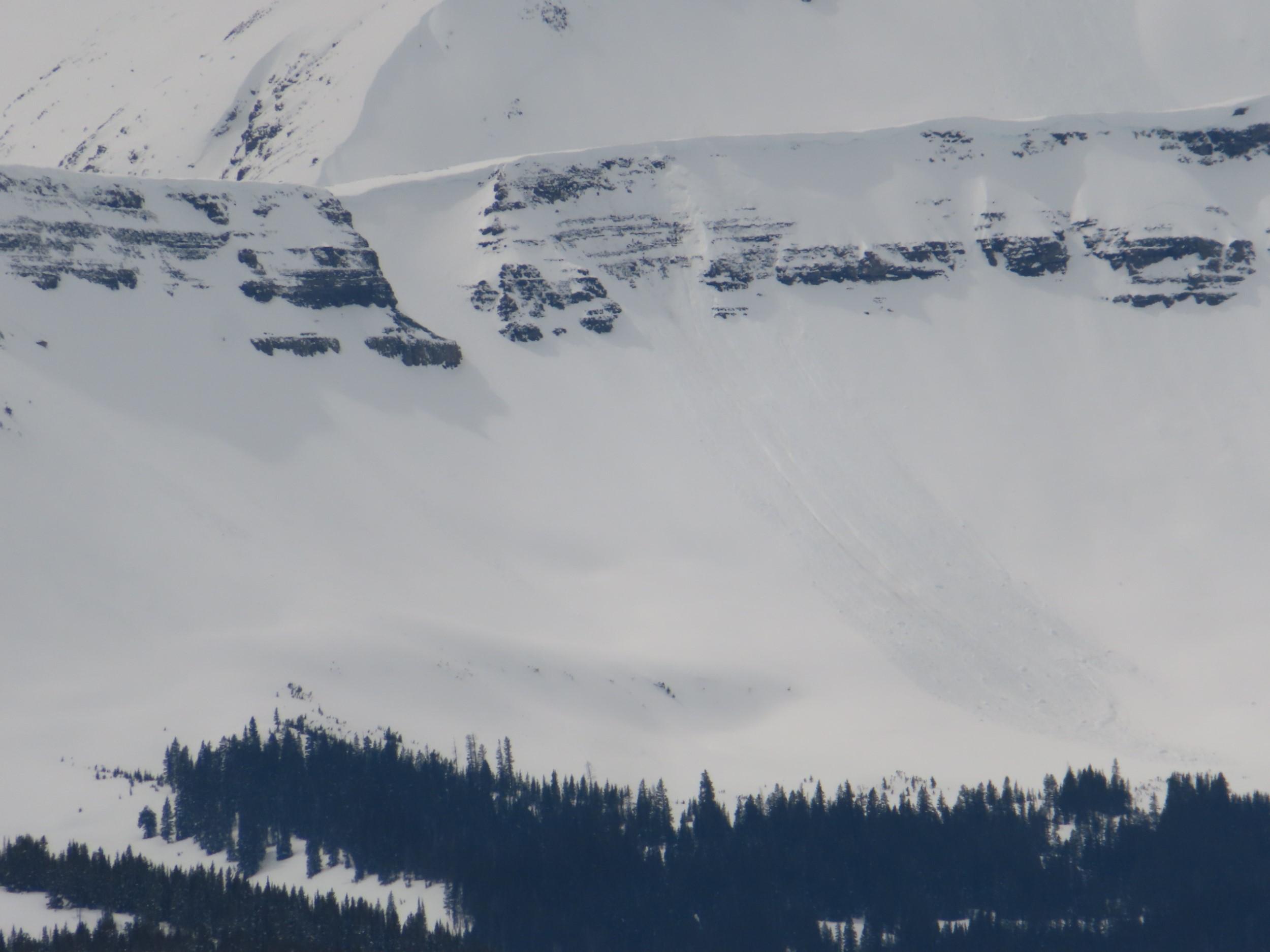
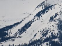
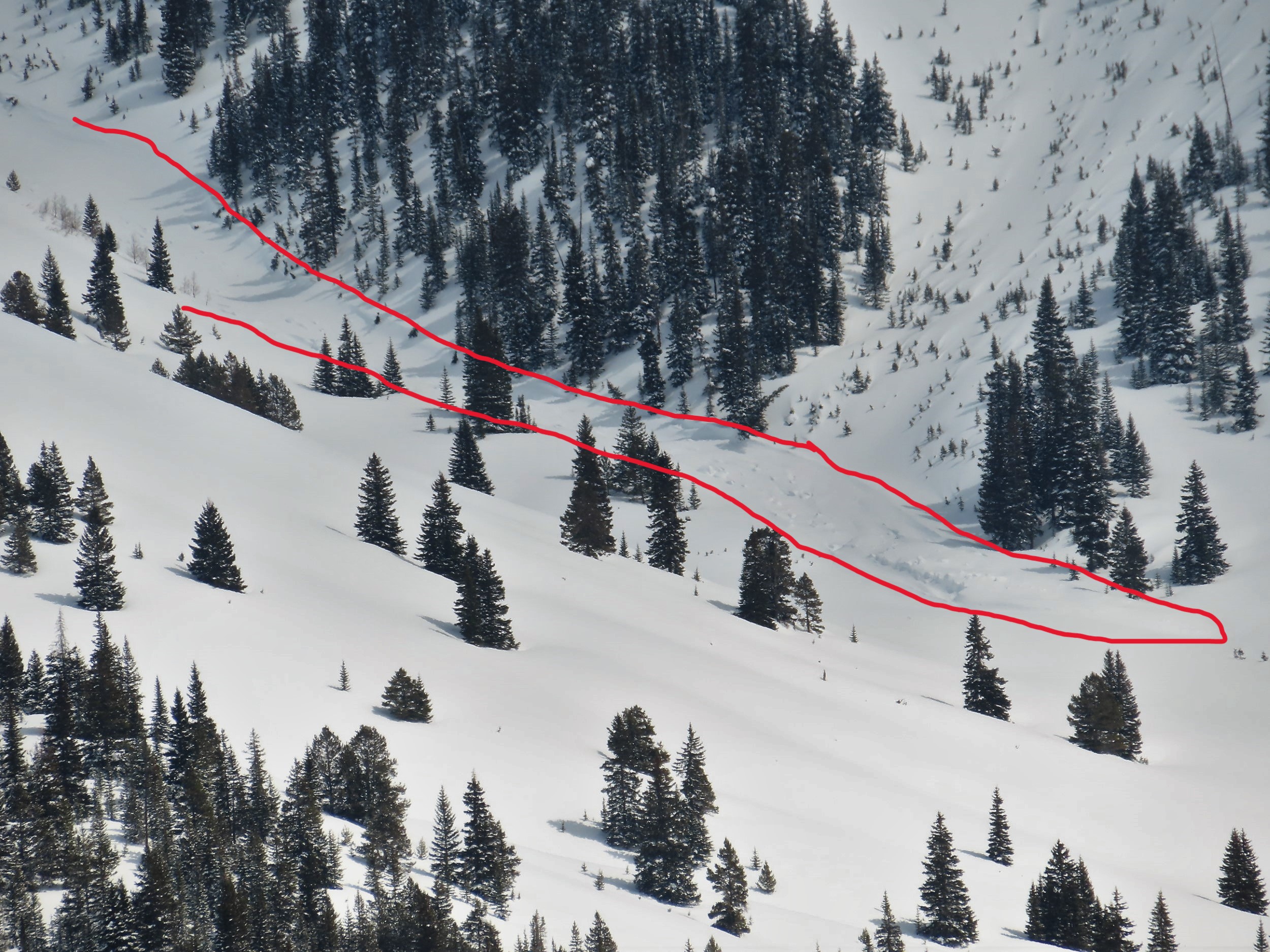
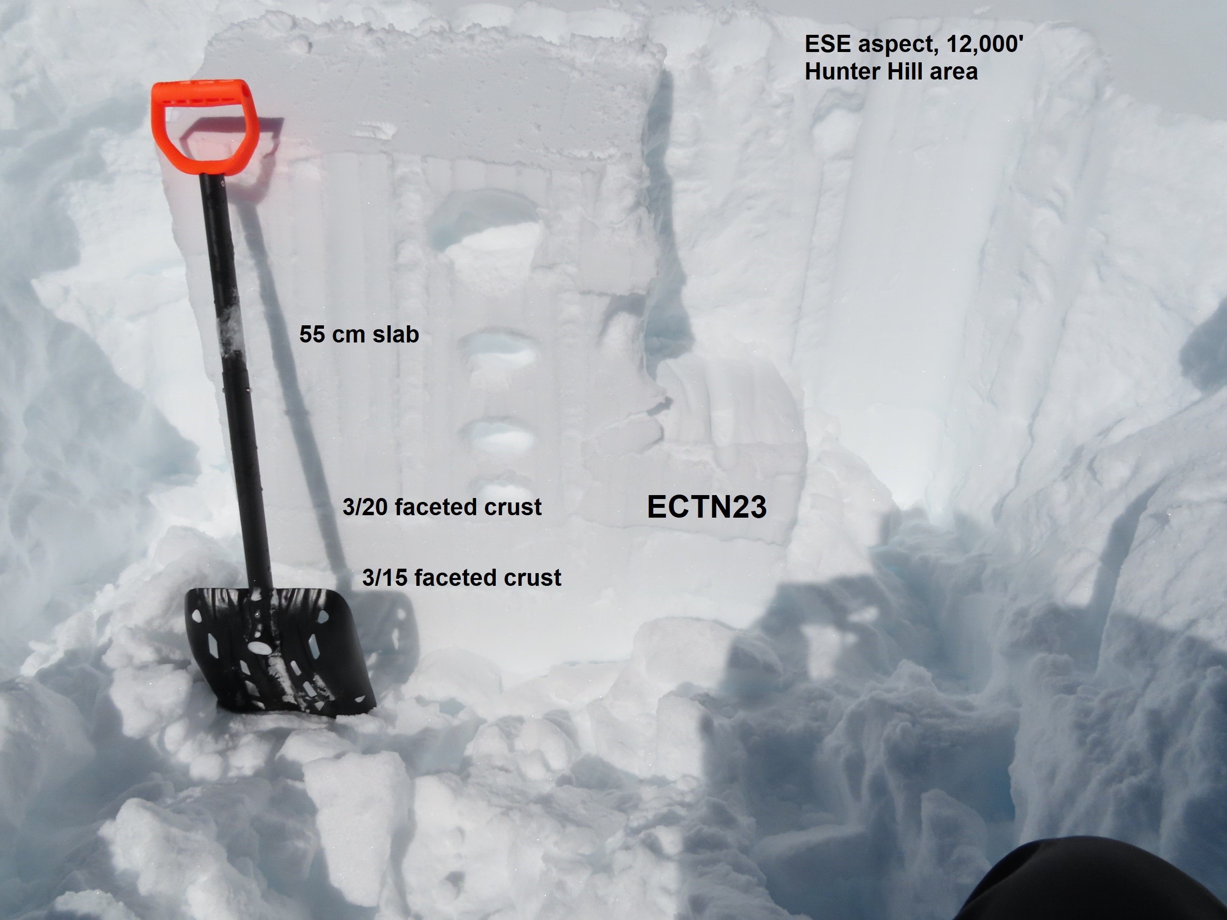
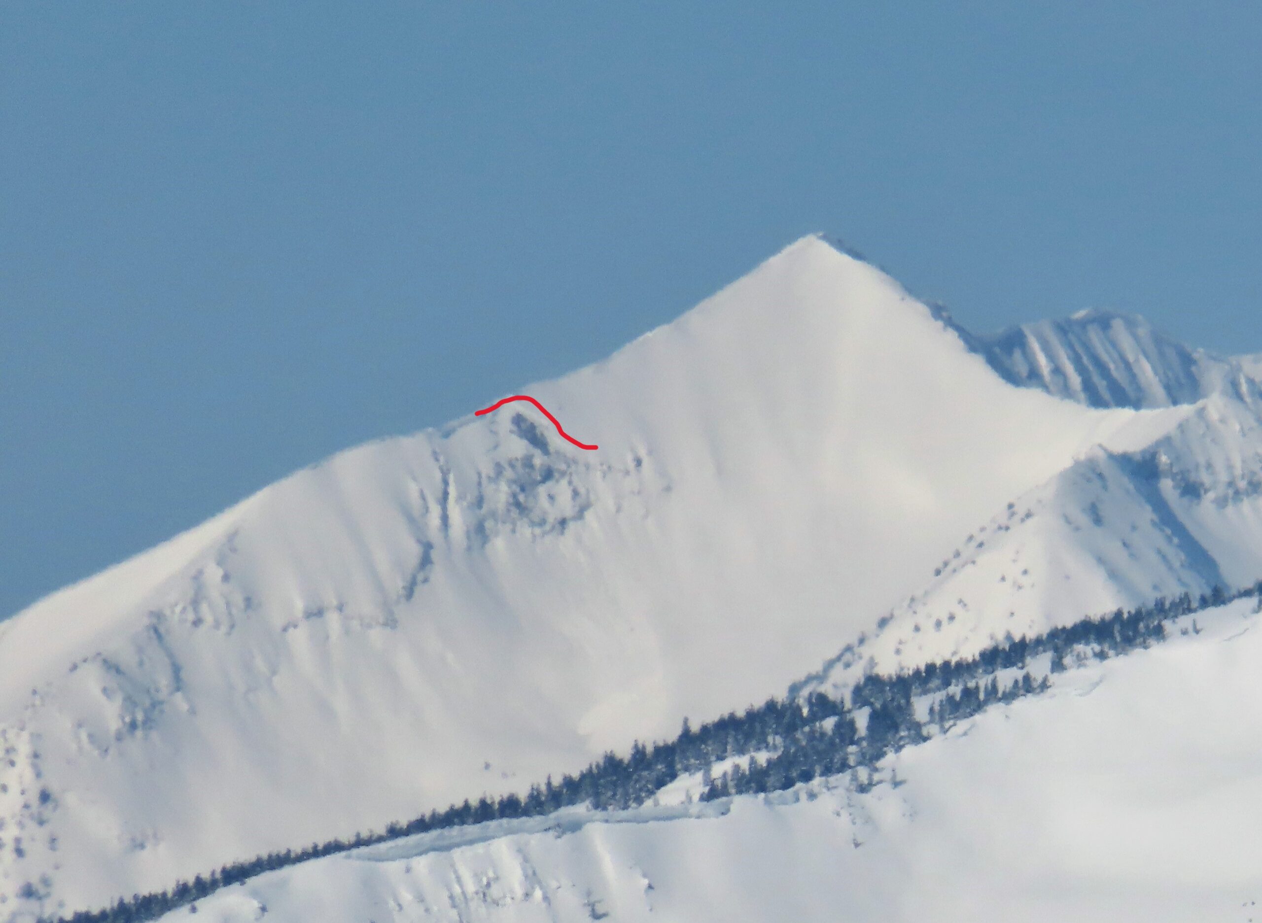
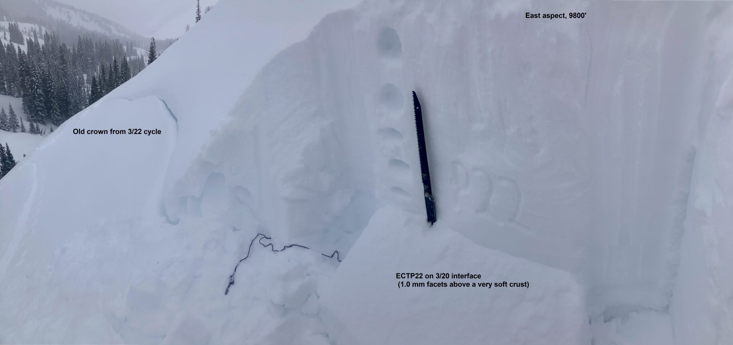
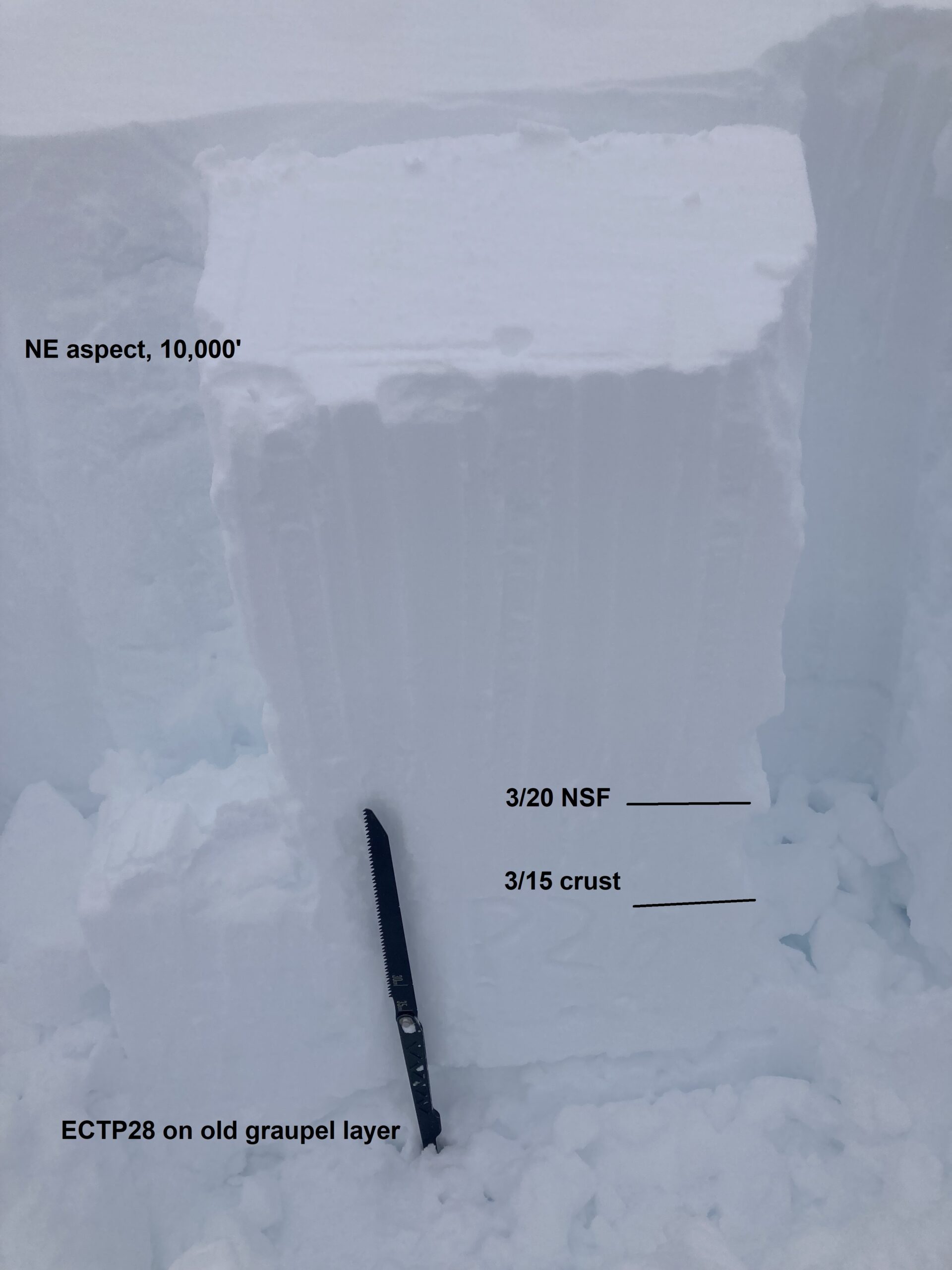
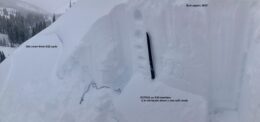
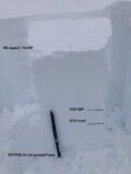
Snowpack: Dug several pits within a few hundred feet of each other on SE, E, and NE aspects below treeline. I got a mix of hard propagating and non-propagating results at the 3/20 interface. The east facing pit, which I dug just above an old crown, had the weakest looking structure and was the only pit that consistently produced unstable results. I did get one propagating result on northeast as well, but it was on an old graupel layer about 25 cm below the 3/15 crust, and the result was not repeatable.
No signs of instability while breaking trail.
There is about 10-12″ of dry recent storm snow above the 3/24 crust on southerlies in Upper Slate, and 4″ to 6″ above the crust closer to the trailhead. On easterlies, the snowpack has remained dry down to the 3/20 crust, 30″ deep. The upper foot or so is fist hard but dense enough that it isn’t dry sluffing.
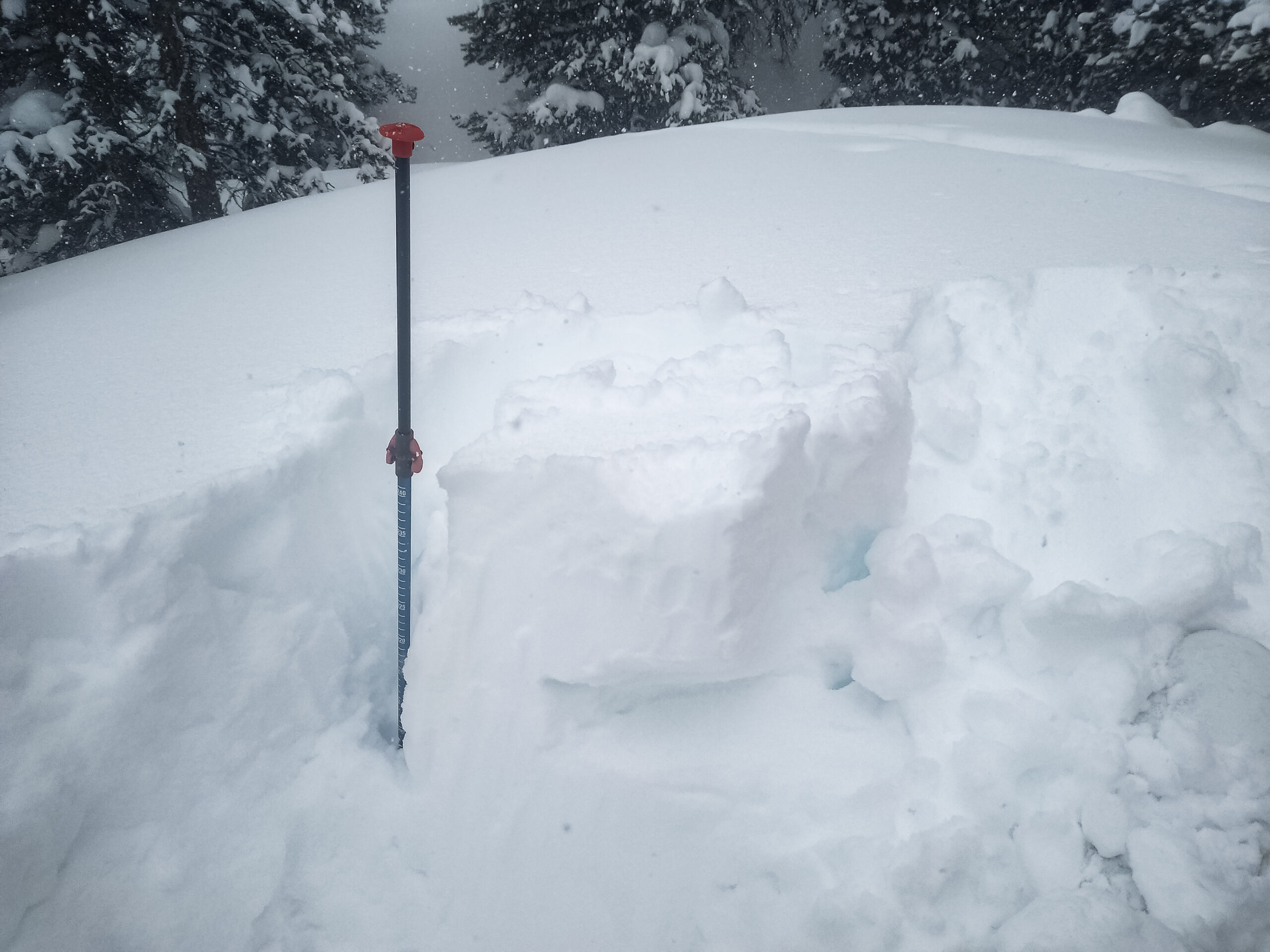
Photos:
-
-
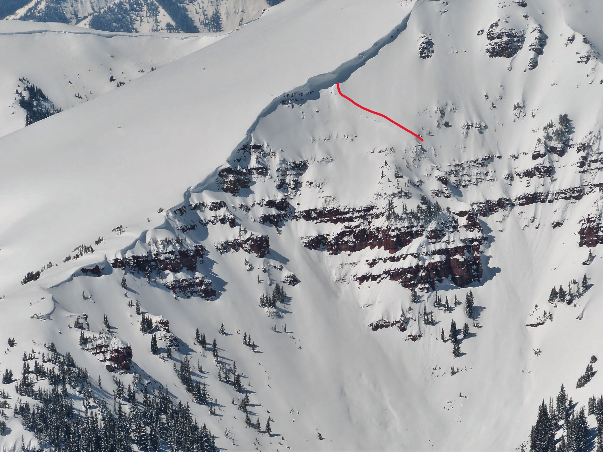
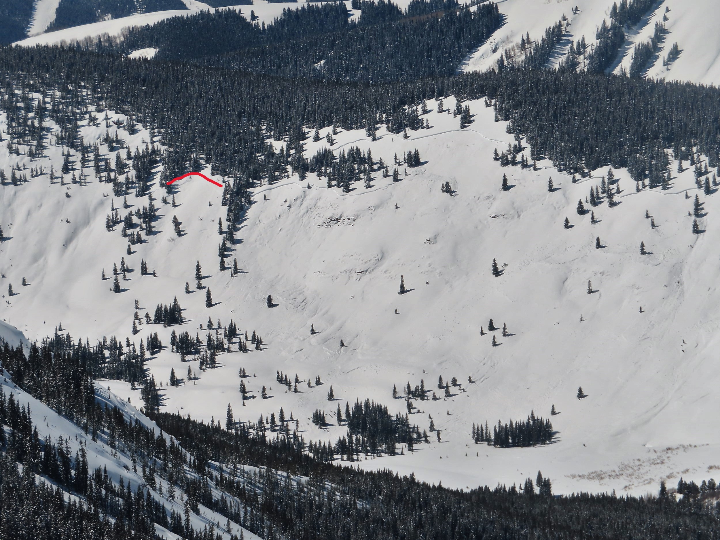
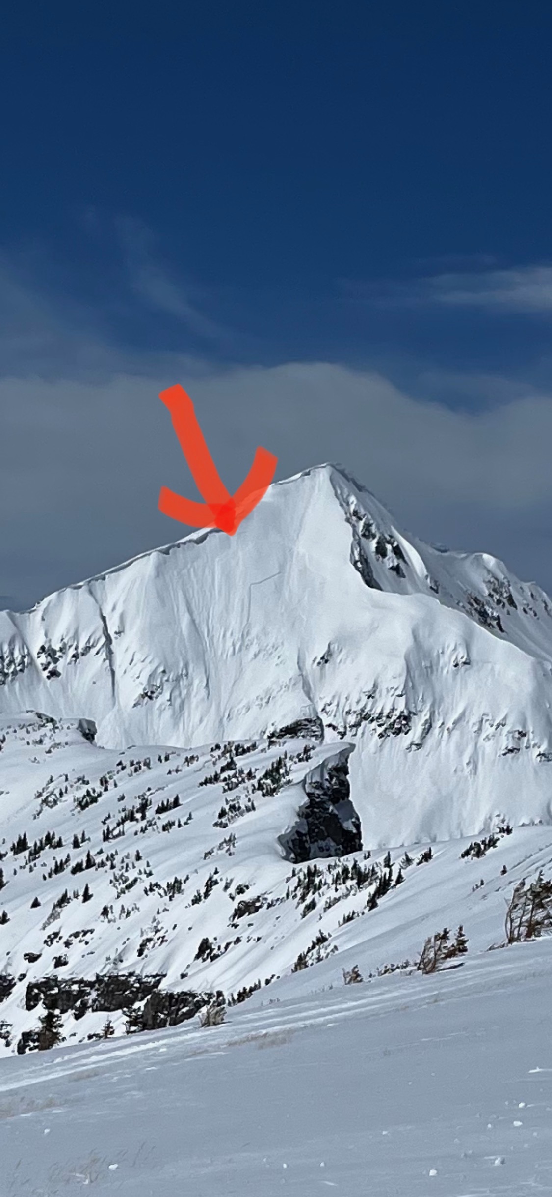
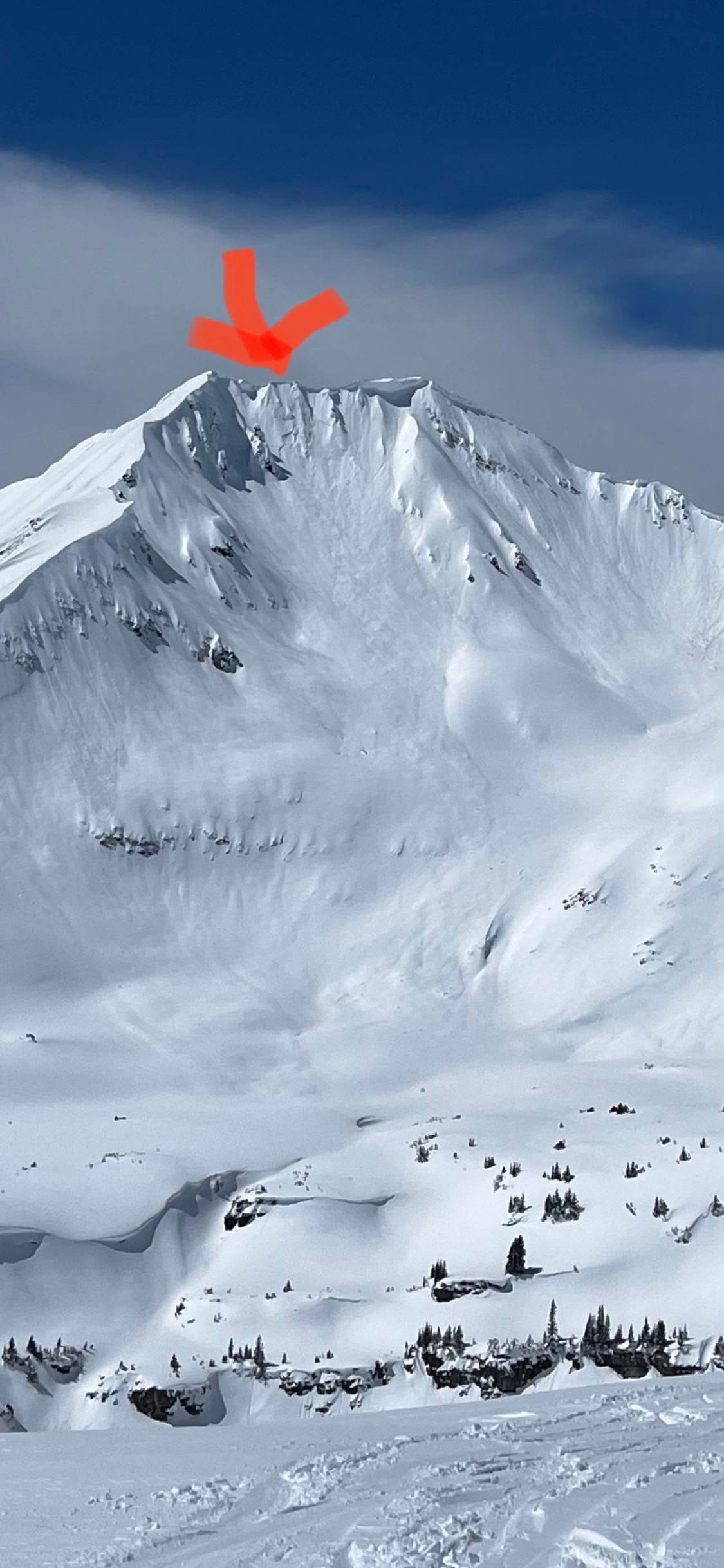
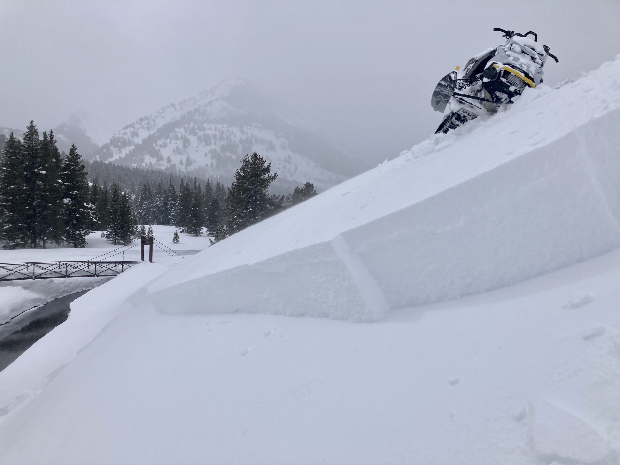
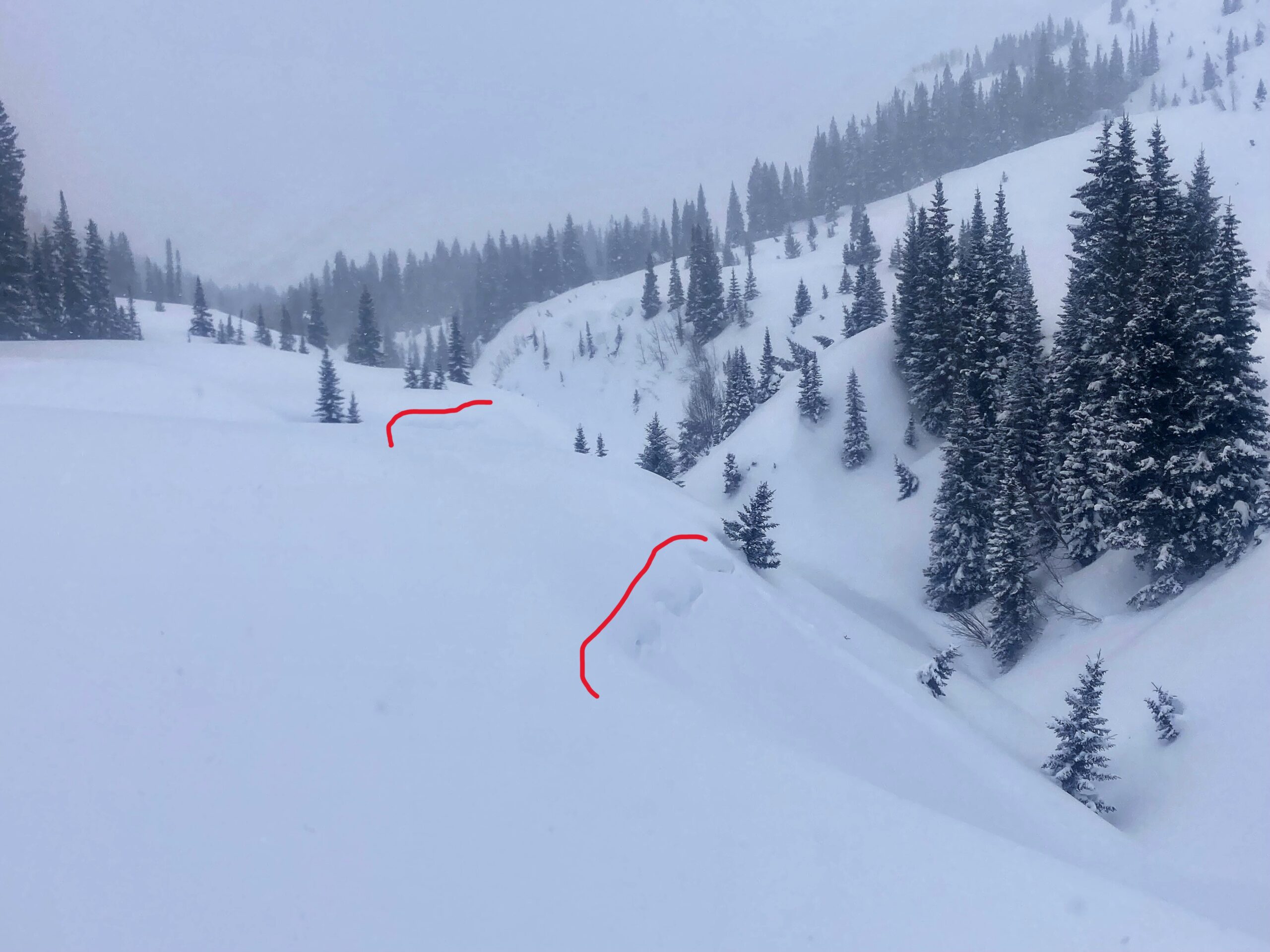
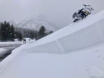
Triggered wind slab above the Slate.
-
-
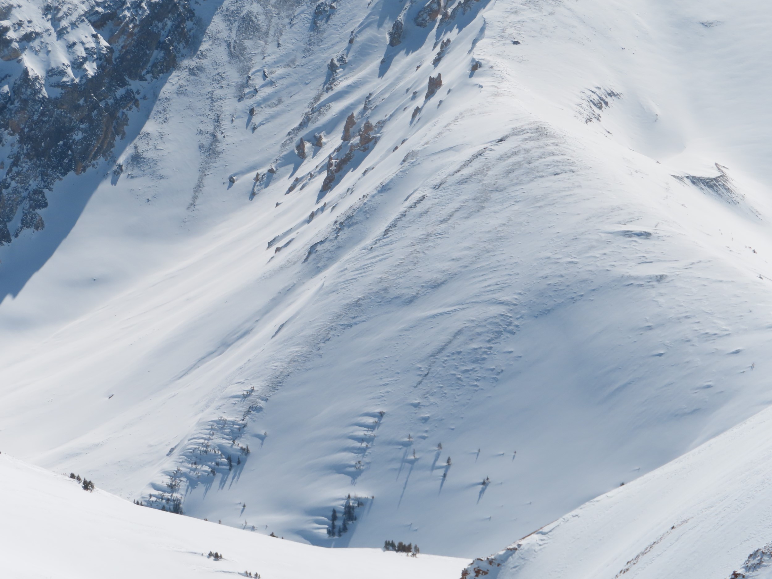
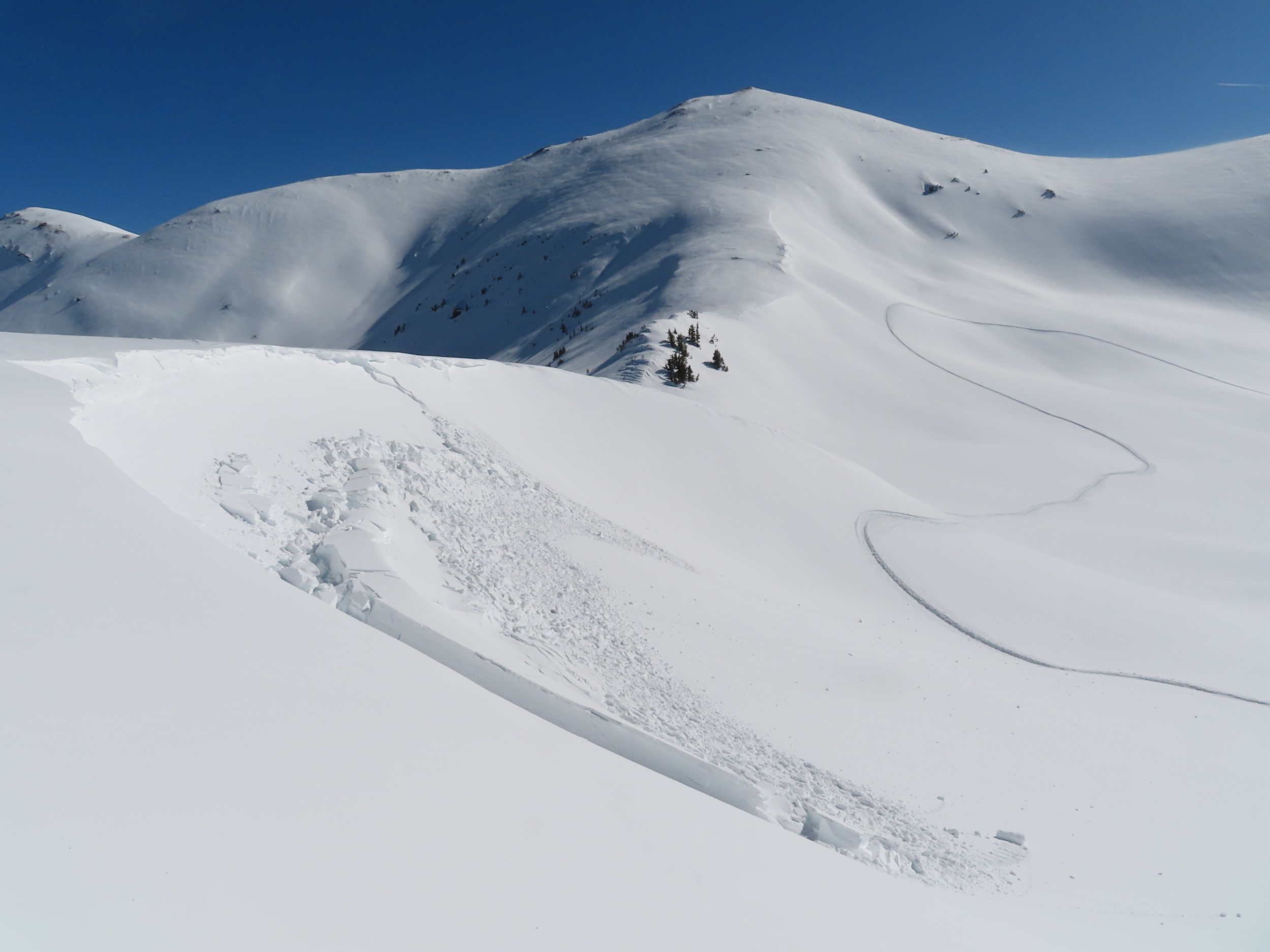
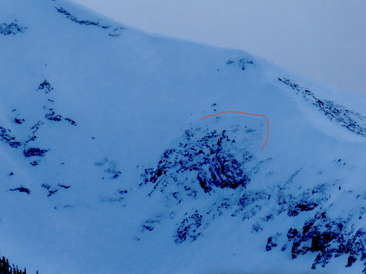
Propagating test results near an old crown on an east aspect BTL.
-
-
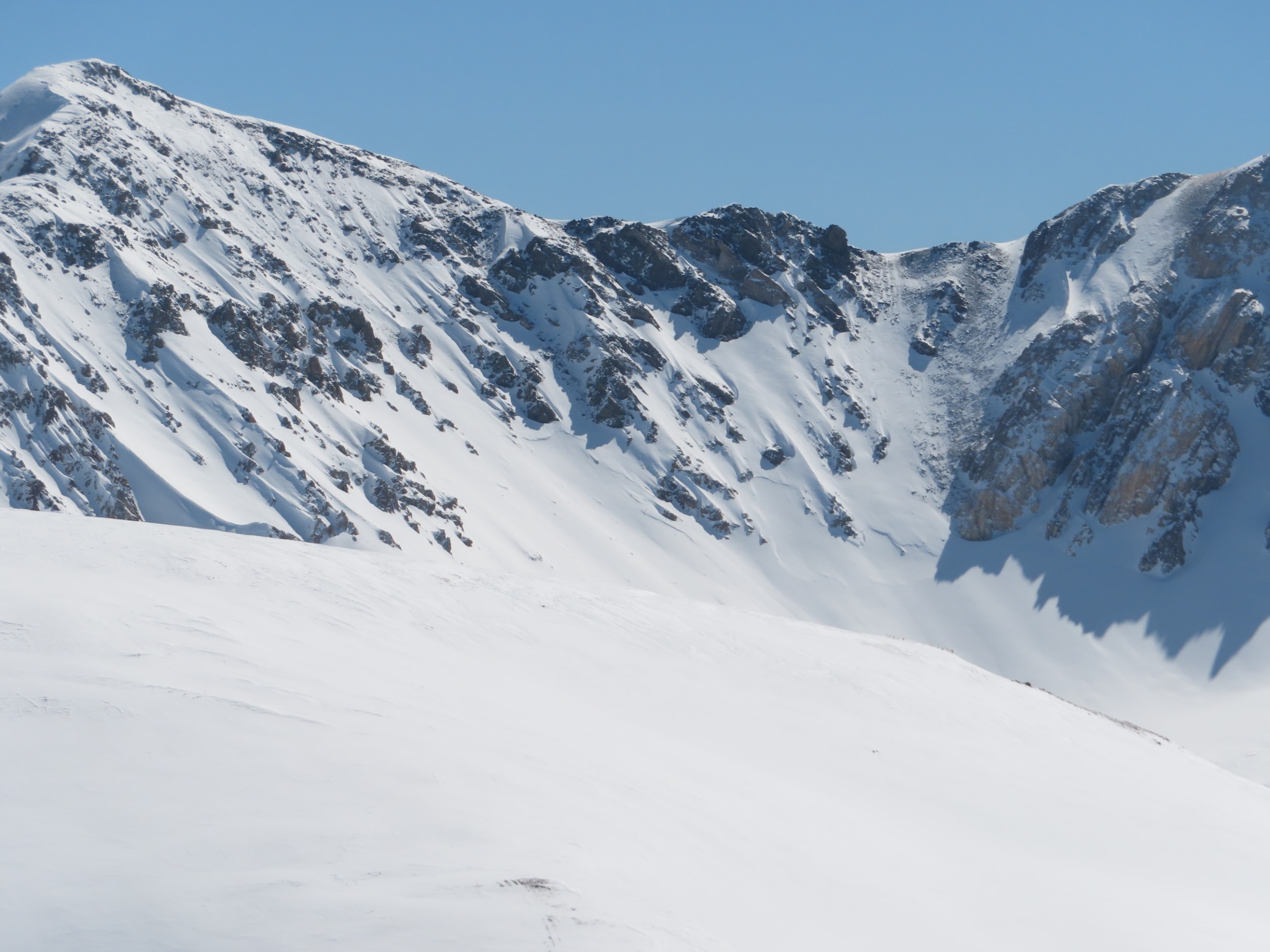
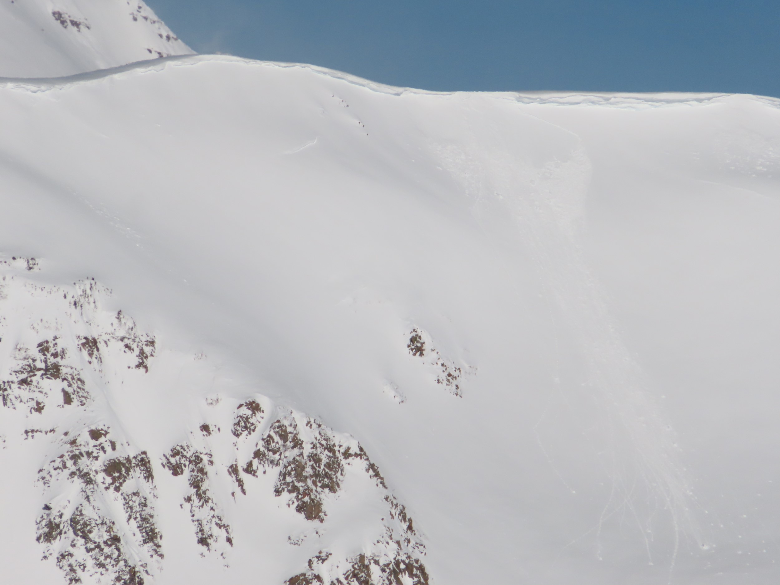
Propagating test results on a NE aspect BTL.
-
-
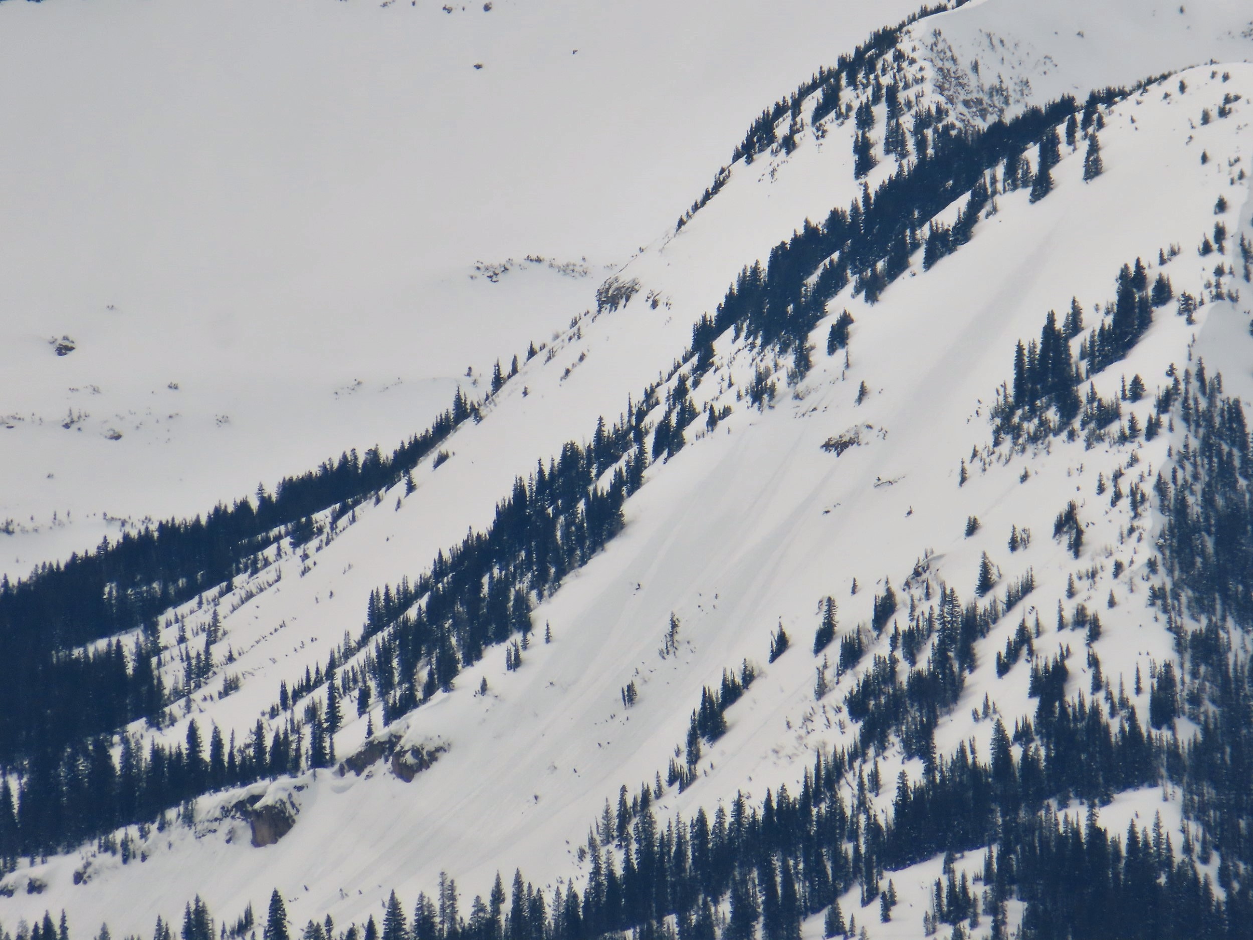
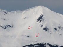
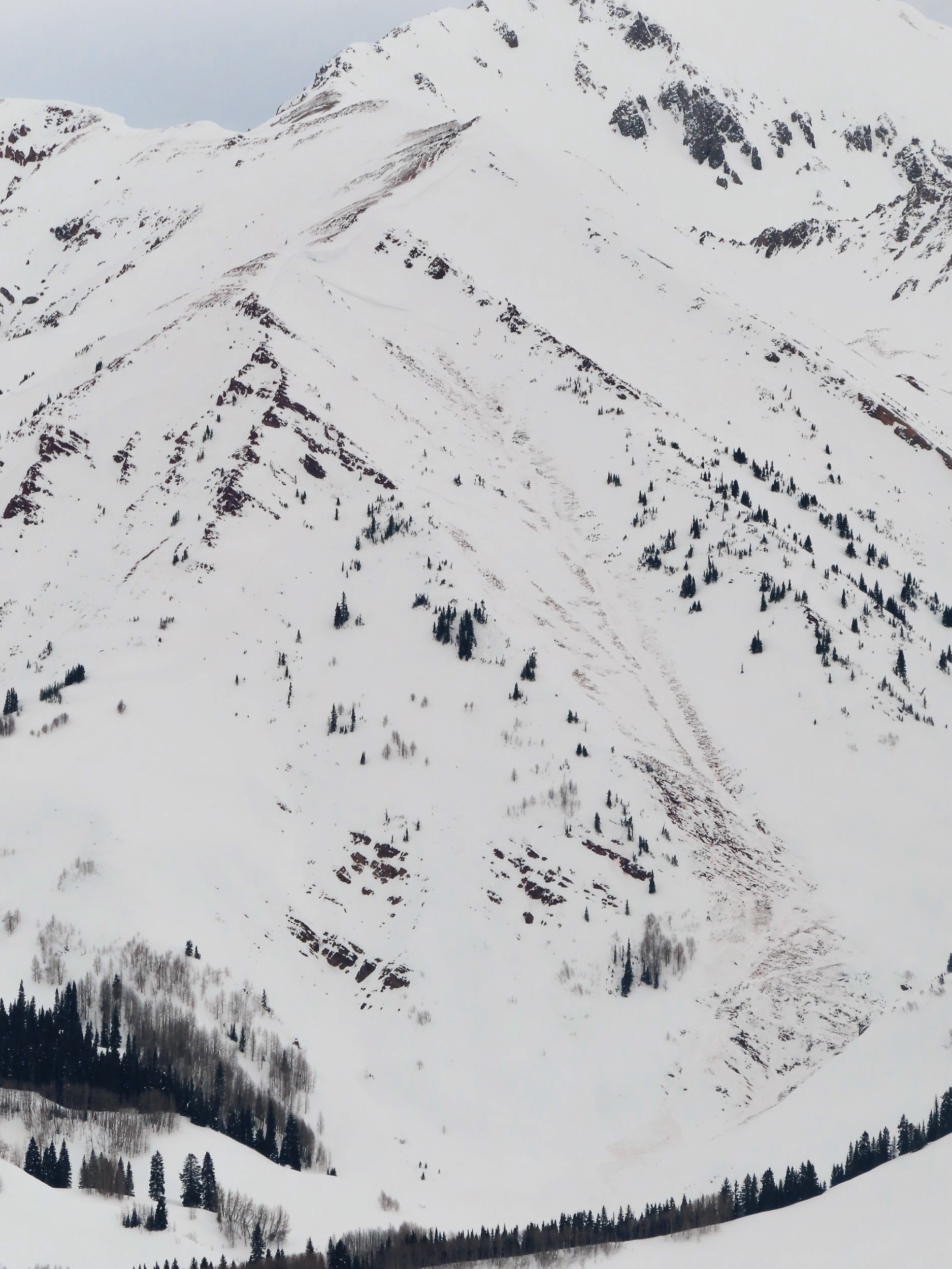
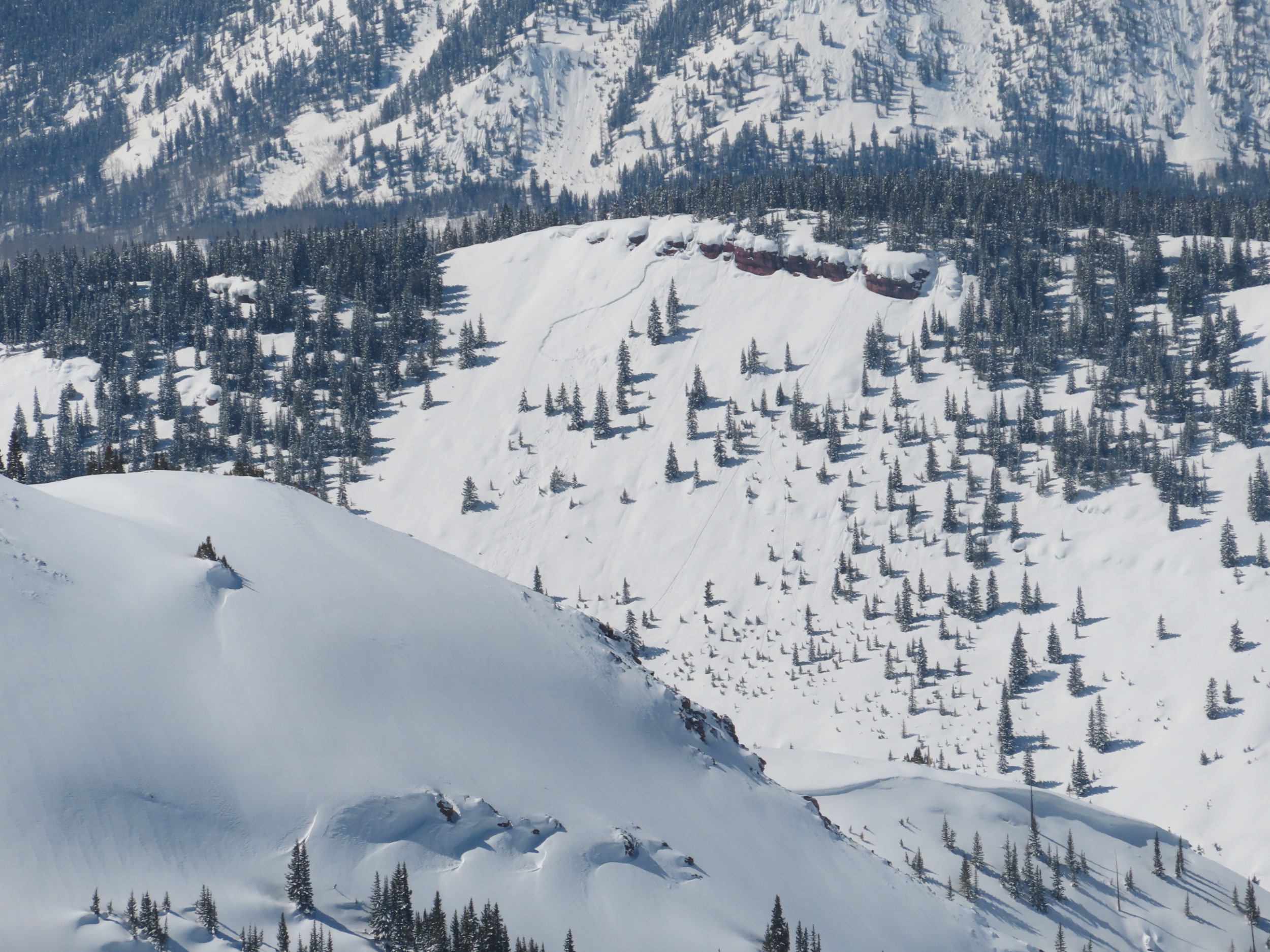
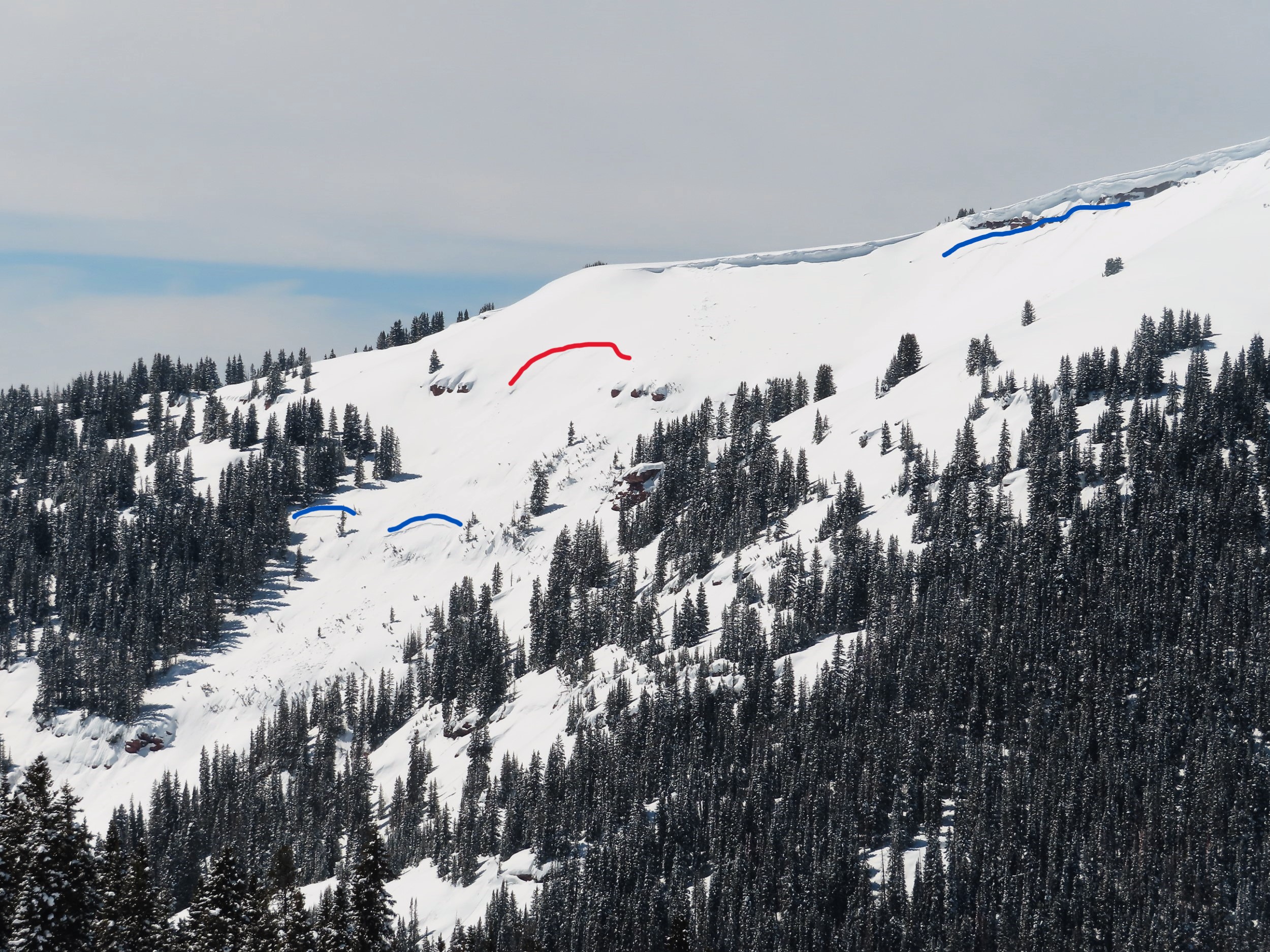
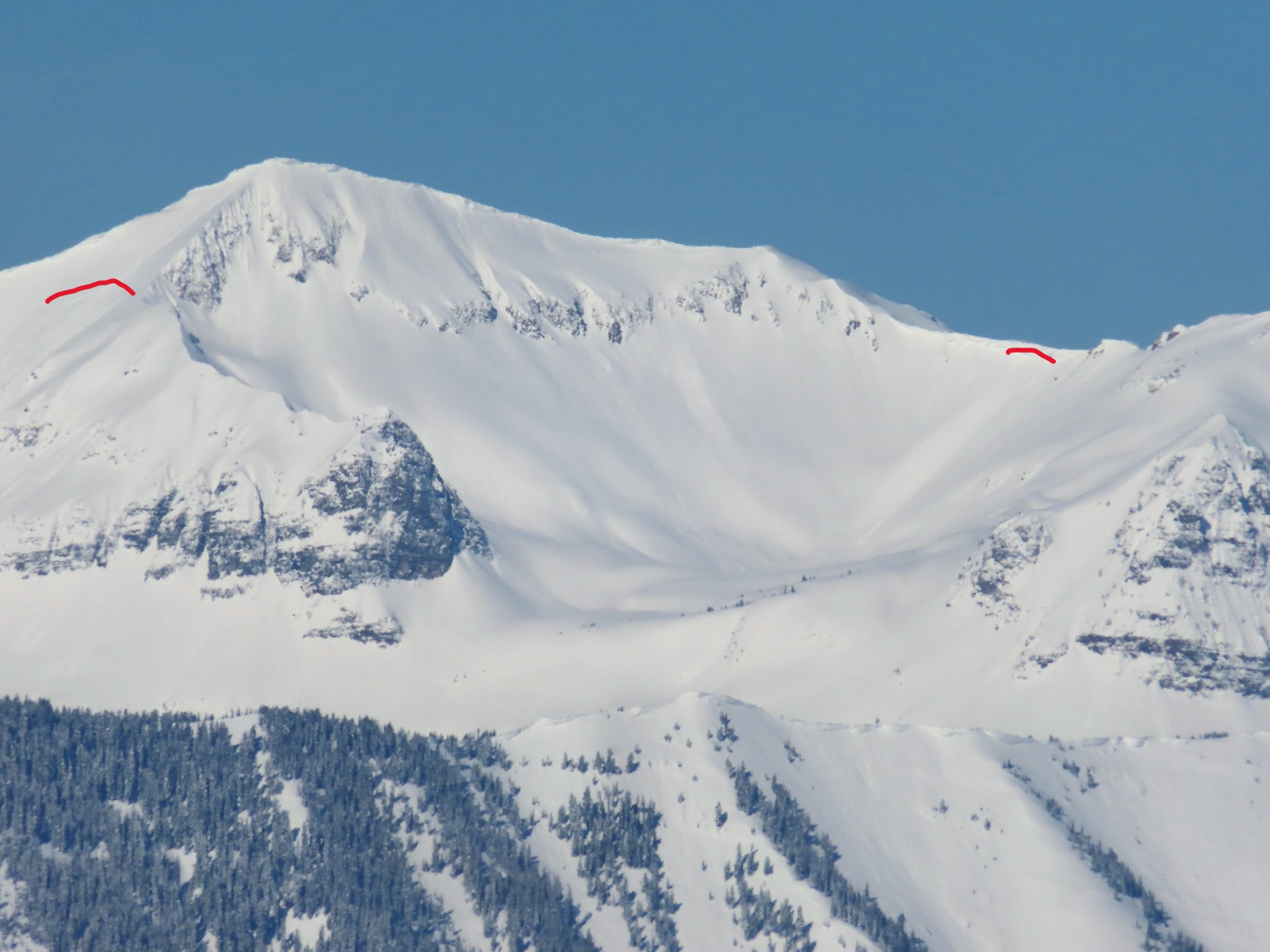
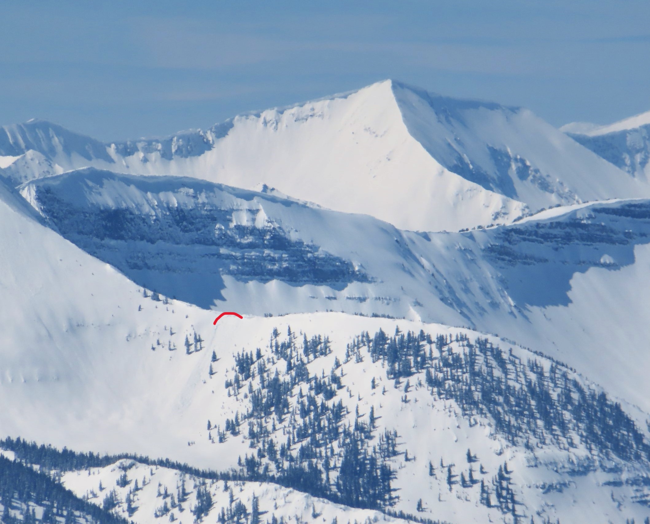
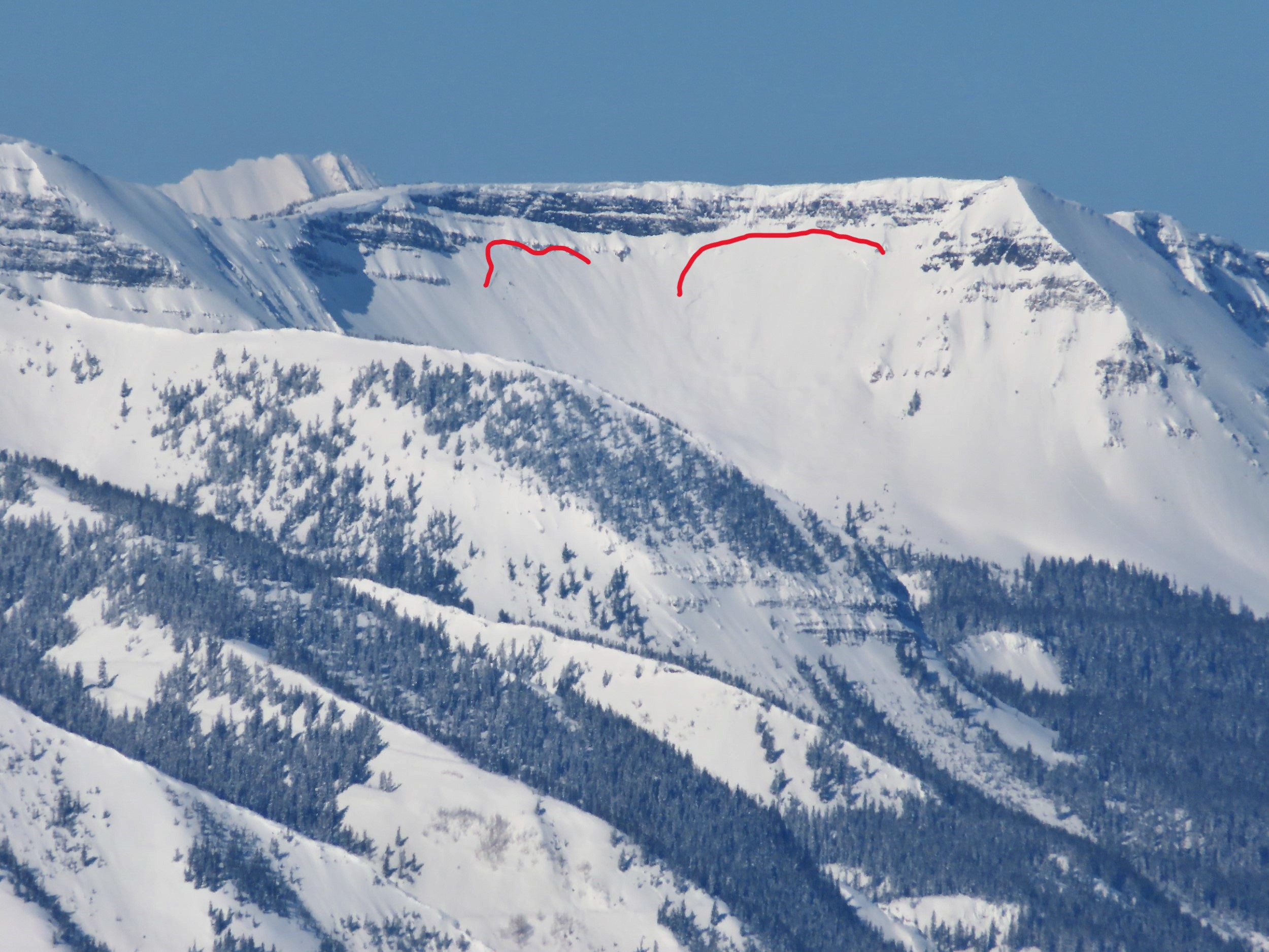
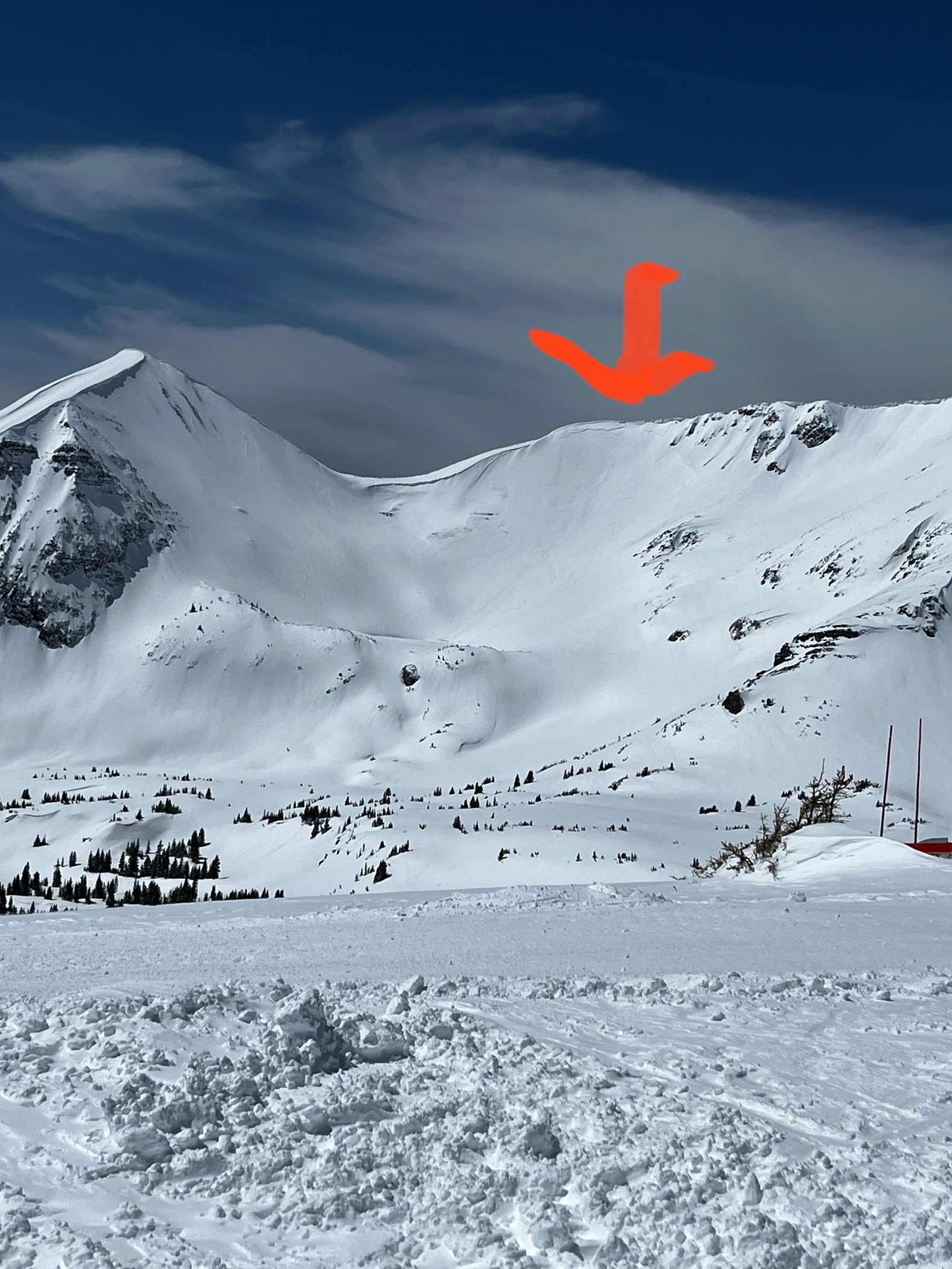
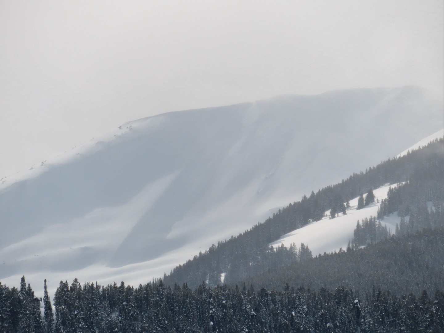
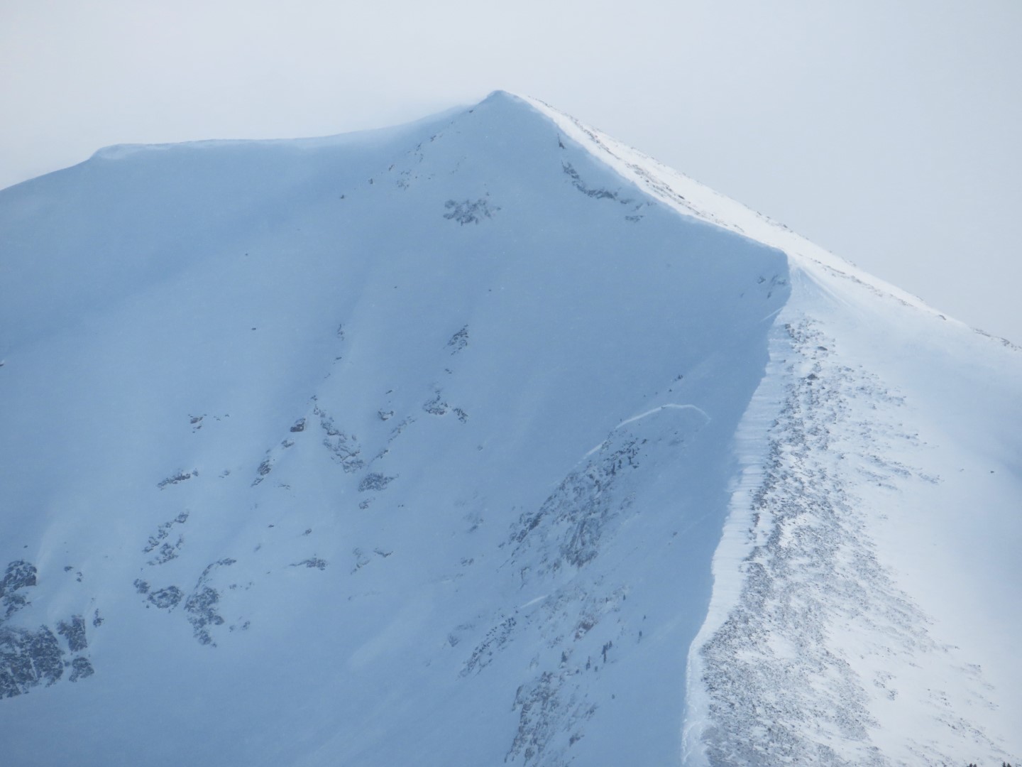
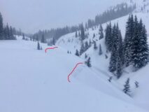
Old west facing crowns above the Slate River.
Estimated avalanche date: 03/27/2023
Number of Avalanches: 1
Location
Location: Mount Emmons
Location Specific:
Start Zone Elevation: BTL: Below Tree Line
Aspect: S
Characteristics
Trigger: Snowmobiler
Trigger modifier: Controlled
Type: Soft Slab
Failure Plane: New/Old interface
Size
Relative Size: R2 small
Destructive Size: D1- Relatively harmless to people
Avg. crown height (inches): 15
Avg. width (feet): 30
Avg. vertical run (feet): 30
Involvements
# of people caught:
# of partial burials:
# of full burials:
Additional comments: Wind slab on steep slope above Slate by Gunsight Bridge.
Estimated avalanche date: 03/22/2023
Number of Avalanches: 2
Location
Location: Upper Slate (Purple, Yule Pass, Paradise Divide)
Location Specific:
Start Zone Elevation: BTL: Below Tree Line
Aspect: W
Characteristics
Trigger: Natural
Trigger modifier:
Type: Soft Slab
Failure Plane:
Size
Relative Size: R2 small
Destructive Size: D1.5
Avg. crown height (inches):
Avg. width (feet):
Avg. vertical run (feet):
Involvements
# of people caught:
# of partial burials:
# of full burials:
Additional comments: Steep slopes above the Slate.
6167