Location: Paradise Divid Area
Date of Observation: 12/24/2017
Name: Evan Ross
Subject: When will the slab form?
Aspect: North East, East
Elevation: 9,700-11,300
Weather: Fairly calm down in the valleys with some moderate westerly winds near treeline. Mostly clear sky became overcast in the early afternoon.
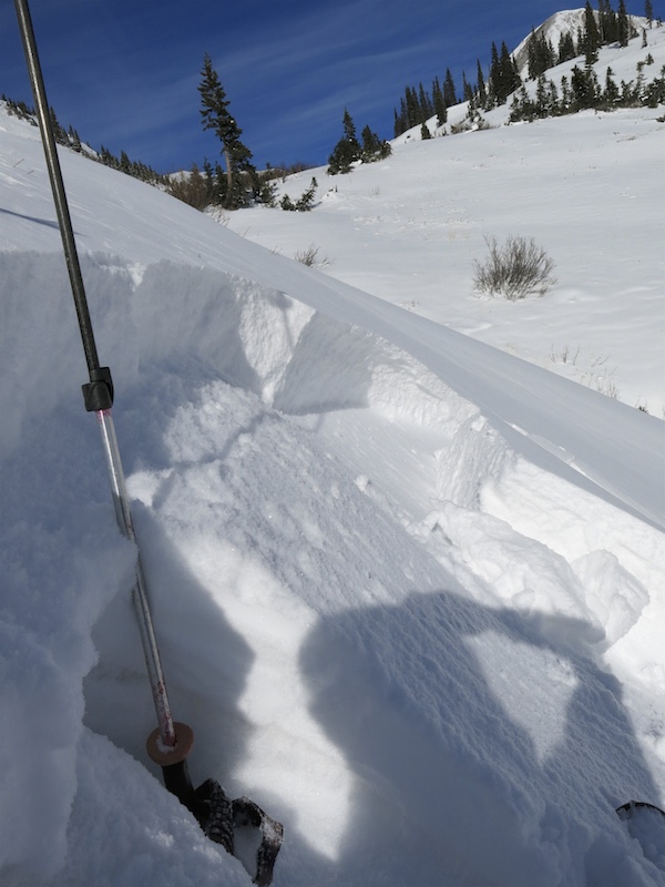
Snowpack: Still no persistent slab avalanche problem, even with 12″ of new snow since Wednesday night sitting on a weak faceted snowpack below. When will this upper snowpack become reactive on its weaker base? Thats the big and scary question. Even were the upper snowpack was stiffened by Saturdays wind event it was still mostly unreactive in this elevation ban. Found two very small wind-loaded pockets the broke on the interface between our two recent storms but not on the weak faceted snow below. HS in this area was about 60-70cm at 11,000ft.
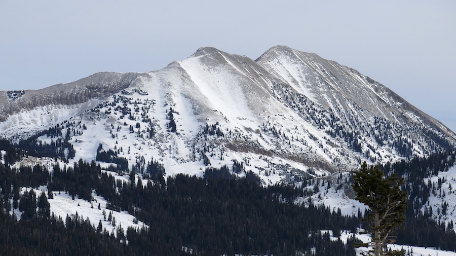
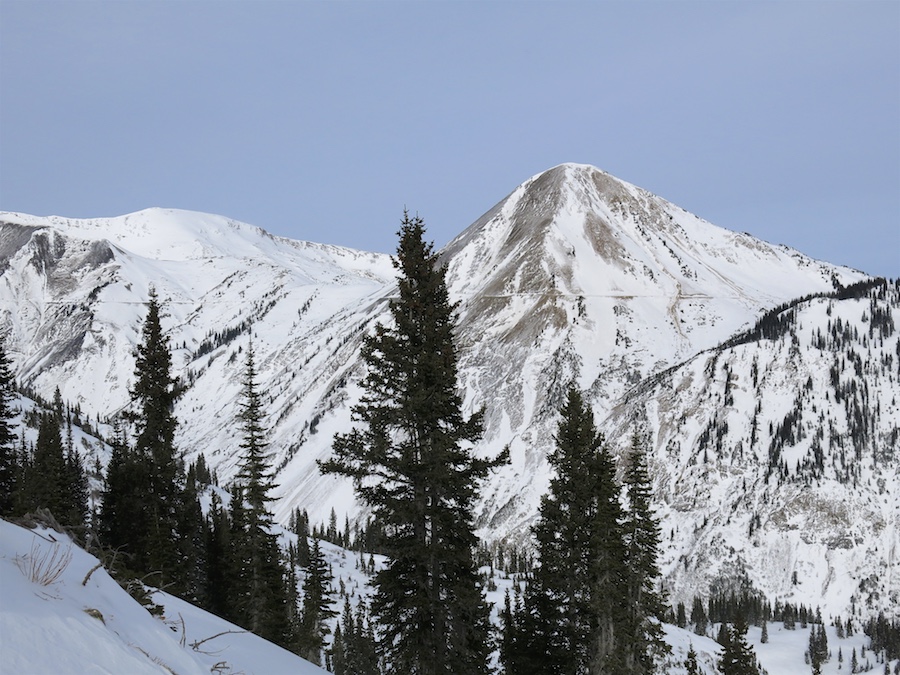
Open slopes at any elevation, but mostly above treeline saw what looked like more snow stripped away by Saturdays wind event then loaded onto the slopes. Cross-loaded pockets behind tree fences or vertical ridges seemed to catch the most snow.
This observation is from one of the deeper parts of our forecast area. The vast majority of slopes observed on the way to this area have a very, very thin snowpack.
Photos:


