Location: Paradise Divide Area
Date of Observation: 04/01/2018
Name: Evan Ross, Ian Havlick
Subject: Cool in the alpine and not so cool down low
Aspect: North, North East, South East, South, North West
Elevation: 9,800-13,200
Avalanches:
Several Loose wet avalanches up to D2, mostly on northerly facing slopes at near treeline elevations. Schuylkill Ridge NE aspect NTL elevation Wl-N-R1-D1.5/2 X4. Upper Slate River Northeast aspect 10,000ft WL-N-R1-D1.5 X3. Bottom of Climax Chutes WL-N-R1- D1.5 X2 East aspect BTL. A couple D1 WL avalanches on southerly facing slopes below 11,000ft. One skier triggered WL avalanche D1.5 in SE aspect of Red Lady Bowl.
Weather: Party Cloudy sky. Sunburn. Moderate westerly winds at upper elevations. Warm temps.
Snowpack: Spend most of the day above treeline dealing with a cold snowpack. Ski pen was on the 0 to 10cm range from south to north facing aspects. North to east facing aspects had some nice creamy snow on the surface, or wind-board and sun effect. South facing slopes stayed cold were they were exposed to the wind, and softened in the sun were they were protected from the wind. No avalanche concerns encountered at these upper elevations. Skiing a protected south aspect at 2pm had wonderful spring softened snow above 11,000ft, but below the snowpack became punchy and wet. Didn’t produce much for wet avalanches but the snowpack below 11,000ft didn’t feel inviting to linger around to see what could happen. See photos for profiles on south and north aspects.
Photos:
-
-
Upper snowpack profile on south aspect at 12,500ft. Soft melt freeze crust at the surface. Grand Travers storm is dense 1F+ snow sitting on 4cm MFcr. CTN. HS was 320cm but this terrain had a but of a gully to it and profile was in the middle of the terrain feature so HS was probably greater at this location.
-

-
Upper snowpack profile on north aspect at 12,600ft. Two graupel interfaces within and at the bottom of the Grand Travers storm. The lower graupel interface was down 40cm, 3mm in size with some faceting. ECTN times 2 and CT22 RP at this interface. Strong snow below the Grand Travers storm. Taking multiple HS measurements across the terrain put it at 320cm and more.
-

-
3mm slightly faceted Graupel from the northerly profile
-

-
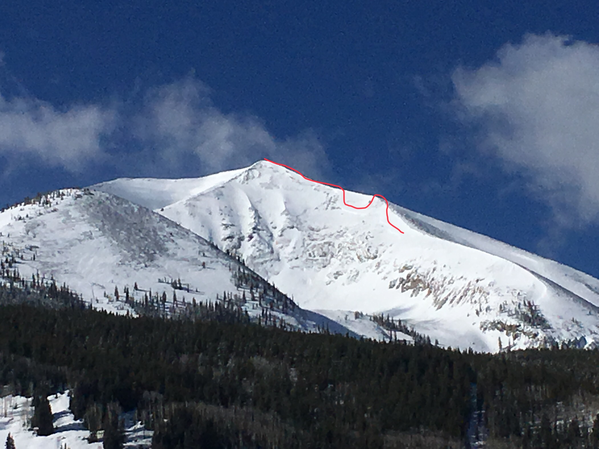
Wet Loose avalanche activity on northerly facing near treeline slopes. 4/1/18
-

-
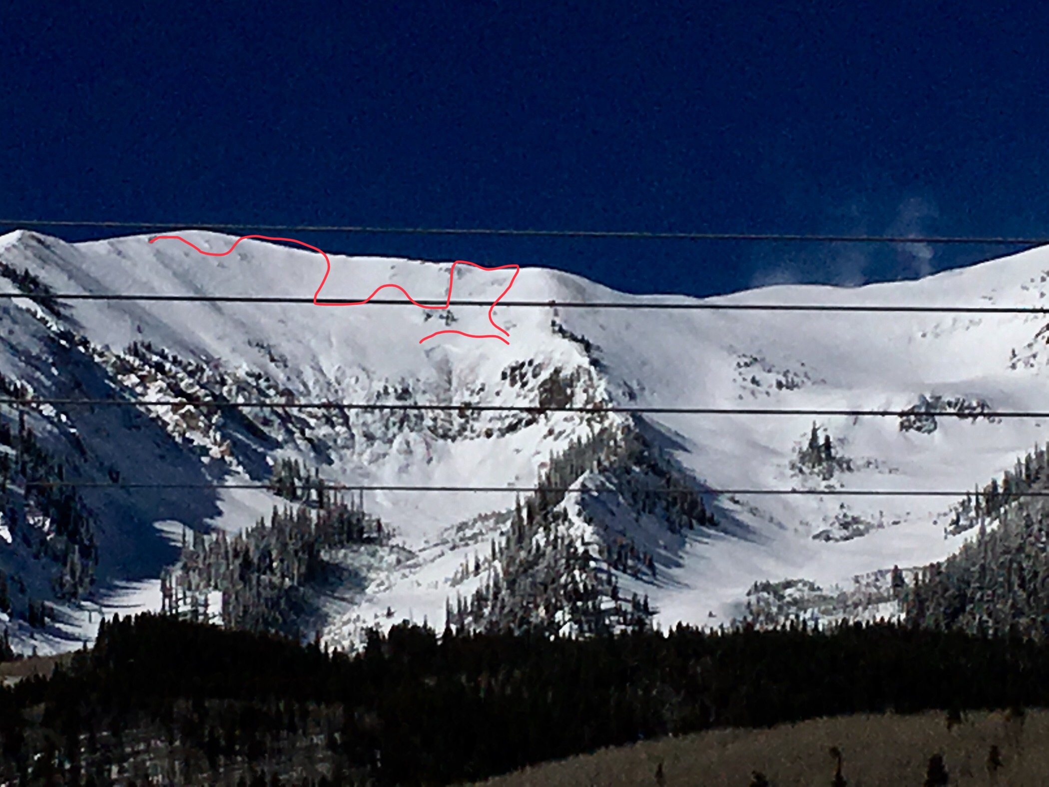
Example of today’s loose wet avalanching on northerly facing slopes at 10,500ft.
-

-
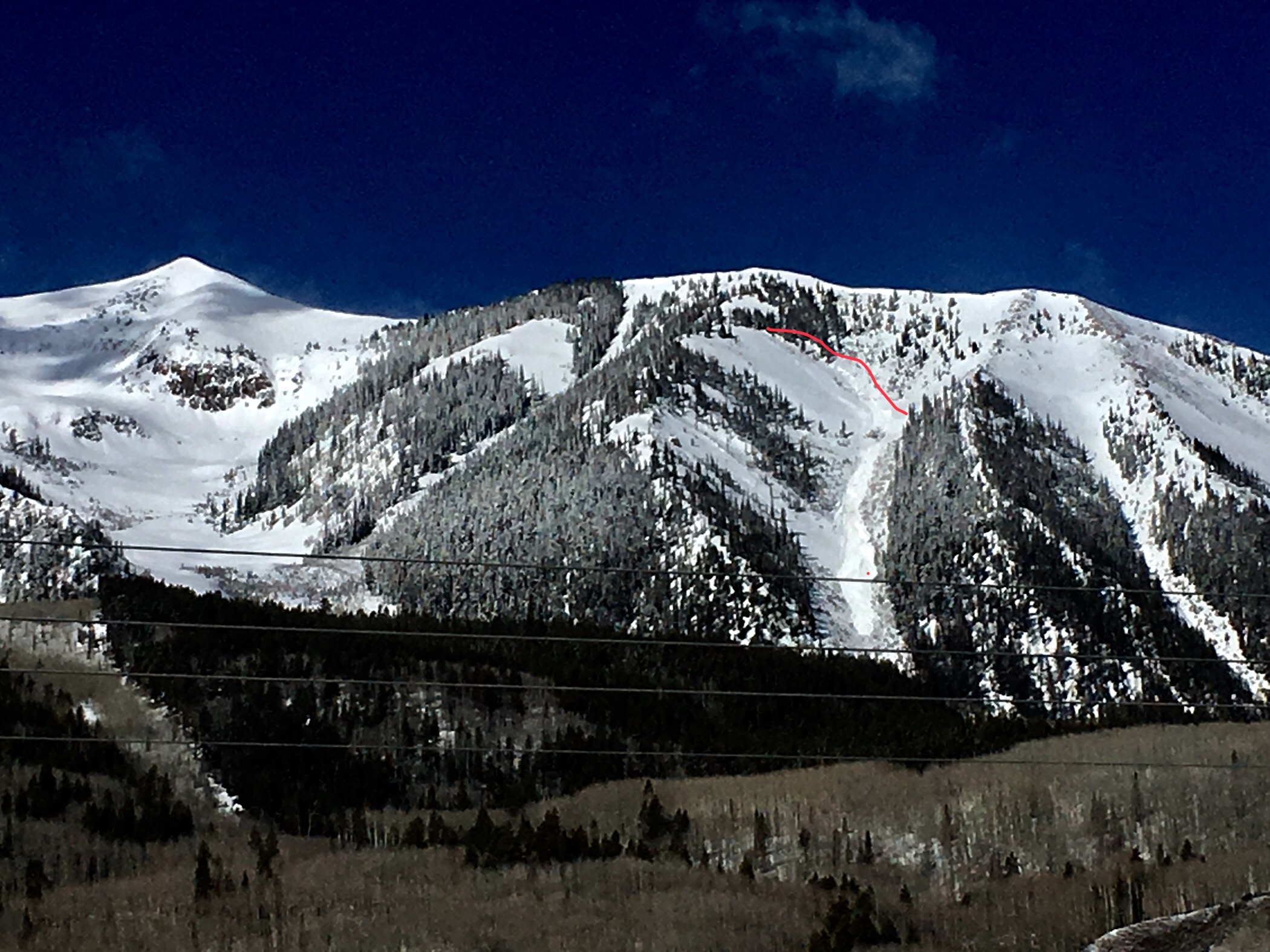
Glossy, wet snow surface on a northeasterly facing aspect. 4/1/18