Observations

04/04/21

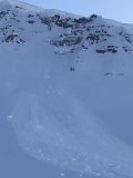
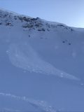
Evening avalanche obs

Date of Observation: 04/04/2021
Name: Zach Guy

Zone: Southeast Mountains
Location: Road tour
Aspect: West

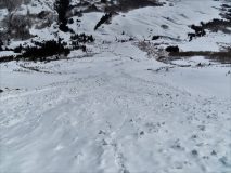
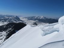
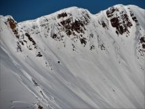
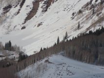
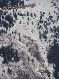
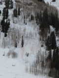
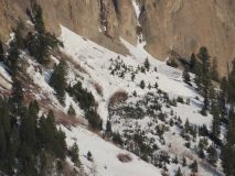
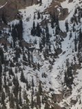
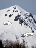
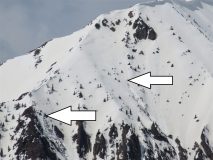
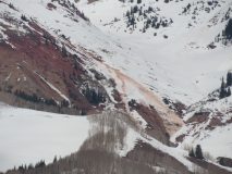
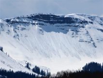
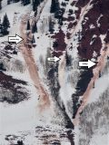
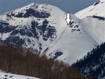
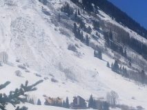
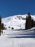
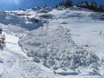
Avalanches: A handful of additional D2’s that ran late in the day on westerly aspects, both wet slabs and wet loose. See photos for details.

Photos:

Read Full Observation
04/04/21

Dirty diaper obs. 3 p.m.

Date of Observation: 04/04/2021
Name: Zach Guy

Zone: Southeast Mountains
Location: Snodgrass TH

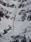
Avalanches: See photos. Continued large wet activity. Numerous D1.5 to D2.5 since yesterday’s visit to the same location at 4 p.m. Some may have run late yesterday, most likely ran today. In shallower terrain, there were more wet loose gouging to the ground and a few pulled out narrow wet slabs. Otherwise, more surface sluffs.
Weather: Mix of sun and clouds may have kept surfaces a bit cooler. Warm temps, calm winds below treeline.
Snowpack: Poor refreeze. Ski and boot pen was to the ground this afternoon on below treeline slopes.

Photos:

Read Full Observation
04/03/21

Gothic debris pile

Date of Observation: 04/03/2021
Name: Zach Kinler

Zone: Southeast Mountains
Location: Gothic
Aspect: South West, West

Avalanches: Fresh wet debris pile below the west side of Gothic, ran late this afternoon. Estimated D2.5

Photos:

Read Full Observation
04/03/21

Gibson Ridge wet slide

Date of Observation: 04/03/2021

Zone: Southeast Mountains
Location: Gibson Ridge
Aspect: East
Elevation: BTL

Avalanches: Large wet avalanche ran today


Photos:

Read Full Observation
04/03/21

Wet Slab Star Peak Zone

Date of Observation: 04/02/2021
Name: Ben A


Zone: Southeast Mountains
Location: Star Ridge above Friends Hut
Aspect: South
Elevation: ATL

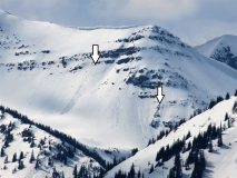
Avalanches: Wet slab triggered by wet loose late afternoon 4/2. Wet slab triggered below the rock band. Debris ran over the bench and triggered another wet slab.

Photos:

Read Full Observation
04/02/21

Weekly Snowpack, Weather, and Avalanche Summary 4/2/21

Date: 04/02/2021

Name: Jack Caprio

Zone: Crested Butte Backcountry


Spring has sprung. It’s getting hot out there and liquid water is making its way deep into the snowpack. See what this all means for spring skiing right here.

Read Full Observation
04/01/21

Wolverine Cornice Fall

Date of Observation: 04/01/2021
Name: Tim Mahan

Zone: Southeast Mountains
Location: Mt Emmons. Wolverine Basin.
Aspect: East
Elevation: 12,100

Avalanches: WL-N-R1-D1-O E facing rock band at the top of wolverine basin bowl feature.

Photos:

Read Full Observation
04/01/21

2 feet of new overnight!

Date of Observation: 04/01/2021
Name: Zach Guy


Zone: Southeast Mountains
Location: Gothic
Aspect: East, South East
Elevation: 9500 – 12,600′

Avalanches: A D2 cornice fall off of the east face of Baldy, looked a few days old.
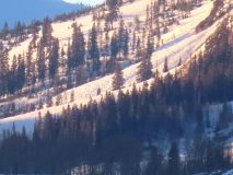
Some D2 wet loose debris below the east face of Gothic, likely from last weekend’s warmup.
We ski triggered some very small/shallow sluffs in the top few inches of snow.
Weather: Light ridgetop winds. Cold temps this morning, rapid warming through midday. Clear skies.
Snowpack: Made ya look. April Fools. Some small rollerballs and sluffing as the top few inches of recent snow became moist. Crusts below that snow (on E, SE aspects) remained frozen before noon. More snow for entrainment on northeasterly tilts where there aren’t underlying crusts.
The biggest problem that we were managing was large cornices. We stayed well away from them on ridgelines. On slopes overhung by cornices, we moved quickly with spotters/radios, regrouped away from their runouts, and traveled early in the day to reduce our risk.
Quick hand pits suggest that last week’s warmup only caused meltwater to move into the top 3 to 4 inches of snow on high elevation, southeast aspects, unless water channeled deeper near rocks or other preferential drainage networks.


Photos:

Read Full Observation
03/31/21

snow survey at bottom of red lady glades

Date of Observation: 03/31/2021
Name: Andrew Breibart

Zone: Southeast Mountains
Location: Snow course-Keystone
Aspect:
Elevation: BTL

Weather: calm, clear, and below freezing before 9AM

Snowpack: snow depth is 34 inches and snow water equivalent is 10 inches.
melt freeze crust. in the shade there was a trace of recent snow on melt freeze crust. Snow was fully supportive on skis and ski boots. at one sample point, we found an ice layer but not an ice lens 6 inches from the ground.

Read Full Observation
03/30/21

Gothic 7am weather update

Date of Observation: 03/30/2021
Name: Billy Barr


Zone: Southeast Mountains
Location: Gothic Townsite

Weather: Snow started near 11 p.m. and was steady but light through the night, though denser than of late. there hs been 3½” new with water 0.30″. Wind was strong at first getting lighter through the night and now almost calm. Currently overcast with light snow. the high was 45F, low 21 and the current 21. The snowpack is at 45″. billy


Read Full Observation
The blog.