Date of Observation: 03/28/2023
Name: Zach Guy
Zone: Southeast Mountains
Route Description: Viewed from Hunter Hill and Carbonate Hill
Observed avalanche activity: Yes
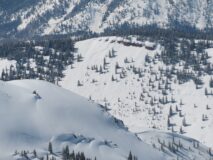
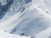
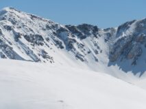
Avalanches: Documenting avalanche activity from last week.
Date of Observation: 03/28/2023
Name: Zach Guy
Zone: Southeast Mountains
Route Description: Viewed from Hunter Hill and Carbonate Hill
Observed avalanche activity: Yes
Avalanches: Documenting avalanche activity from last week.
Location: Cement Creek
Location Specific:
Start Zone Elevation: NTL: Near Tree Line
Aspect: SW
Trigger: Natural
Trigger modifier:
Type: Hard Slab
Failure Plane: Old snow
Relative Size:
Destructive Size: D3 – could destroy a car, wood-frame house, or snap trees
Avg. crown height (inches):
Avg. width (feet):
Avg. vertical run (feet):
# of people caught:
# of partial burials:
# of full burials:
Additional comments: Very large hard slab debris pile. Couldn’t see start zone, but based on flow direction, I’m guessing it was from the S/SW facing terrain feature south of Peak 12830. Failure date estimated.
Location: Cement Creek
Location Specific:
Start Zone Elevation: ATL: Above Tree Line
Aspect: W
Trigger: Natural
Trigger modifier:
Type: Soft Slab
Failure Plane:
Relative Size: R2 small
Destructive Size: D2 – could bury, injure, or kill a person
Avg. crown height (inches):
Avg. width (feet):
Avg. vertical run (feet):
# of people caught:
# of partial burials:
# of full burials:
Additional comments: Peak 13051. Failure date estimated.
Location: East Brush Creek (Star Pass, Friends Hut)
Location Specific:
Start Zone Elevation: BTL: Below Tree Line
Aspect: E
Trigger: Natural
Trigger modifier:
Type: Soft Slab
Failure Plane:
Relative Size: R2 small
Destructive Size: D2 – could bury, injure, or kill a person
Avg. crown height (inches):
Avg. width (feet):
Avg. vertical run (feet):
# of people caught:
# of partial burials:
# of full burials:
Additional comments: Timbered Hill and Teo Ridge. Failure date estimated.
Location: Cement Creek
Location Specific:
Start Zone Elevation: ATL: Above Tree Line
Aspect: NW
Trigger: Natural
Trigger modifier:
Type: Soft Slab
Failure Plane:
Relative Size: R2 small
Destructive Size: D2 – could bury, injure, or kill a person
Avg. crown height (inches):
Avg. width (feet):
Avg. vertical run (feet):
# of people caught:
# of partial burials:
# of full burials:
Additional comments: Lambertson. Failure date estimated.
Location: Middle Brush Creek (Pearl Pass Road, Cumberland Basin, Twin Lakes)
Location Specific:
Start Zone Elevation: NTL: Near Tree Line
Aspect: E
Trigger: Natural
Trigger modifier:
Type: Soft Slab
Failure Plane:
Relative Size: R2 small
Destructive Size: D2 – could bury, injure, or kill a person
Avg. crown height (inches):
Avg. width (feet):
Avg. vertical run (feet):
# of people caught:
# of partial burials:
# of full burials:
Additional comments: Teo Peak.