Size

CB Avalanche CenterLight Box Text

Size is based on the destructive potential of avalanches.

SMALL avalanches are relatively harmless to people unless they push you into a terrain trap.

LARGE avalanches could bury, injure or kill a person.

VERY LARGE avalanches could bury cars, destroy a house, or break trees.

HISTORIC avalanches are even more destructive, and nearing the maximum size the slope could produce.

Likelihood

CB Avalanche CenterLight Box Text

Likelihood is a description of the chance of encountering a particular avalanche problem. It combines the spatial distribution of the problem and the sensitivity or ease of triggering avalanche. The spatial distribution indicates how likely you are to encounter the problem in the highlighted avalanche terrain. The sensitivity indicates how easy it is to trigger avalanches when you do encounter them. Sensitivity includes both natural or spontaneous release and human triggered avalanches.

Aspect/Elevation

CB Avalanche CenterLight Box Text

The Aspect/Elevation diagram describes the spatial pattern of the Avalanche Problem by aspect (the direction a slope faces) and elevation band (Above, Near, or Below Treeline). The diagram will be filled with gray where you are most likely to encounter the Avalanche Problem . You can view the diagram as you would a mountain on a topographic map. The outer ring represents the Below Treeline elevation band, middle ring Near Treeline, and the inner ring Above Treeline. The diagram is oriented like a compass, with the top wedges representing north aspects, the left wedges representing west, etc.

Problem Type

CB Avalanche CenterLight Box Text

Avalanche Problems are categories of avalanche activity. The Problems may not describe all avalanche activity you might observe, but they categorize the avalanches by how we manage the risk in the terrain. This approach focuses on relevant observations you can make in the field and how to treat the avalanche risk.

The forecasts list up to three current Problems, along with the spatial distribution, the likelihood of avalanches, and anticipated size. Forecasters provide specific details in a short paragraph.

Below Treeline

CB Avalanche CenterLight Box Text

Below Treeline

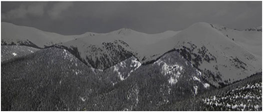
Below Treeline is the lowest of three elevation bands used in the CBAC’s forecasts. It extends from valley floors or snowline to Near Treeline. Open areas and sparse trees are possible. Snowfall tends to be less than the other elevation bands. Tree cover shelters the snow from wind effects.

Near Treeline

CB Avalanche CenterLight Box Text

Near Treeline

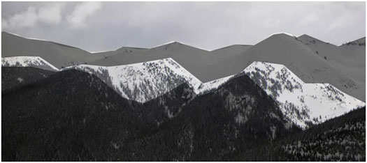
Near Treeline is the middle of the three elevation bands used in the CBAC’s forecasts. It is a transition zone between dense forests and treeless alpine areas. It is the narrowest of the three elevation bands, extending only a few hundred feet above and below the treeline. It varies locally, and is not a constant elevation or width.

Above Treeline

CB Avalanche CenterLight Box Text

Above Treeline

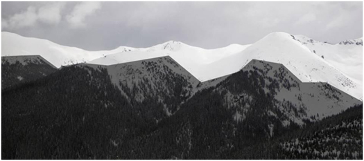
Above Treeline is the highest of the three elevation bands used in the CBAC’s forecasts. It includes alpine areas where the most snow falls and the winds are the strongest. It is not an exact elevation, but a characteristic of the terrain, beginning as the treeline transitions into open slopes extending to ridges and the tops of the highest peaks.