Location: Kebler Pass Area
Date of Observation: 01/15/2019
Name: Eric Murrow
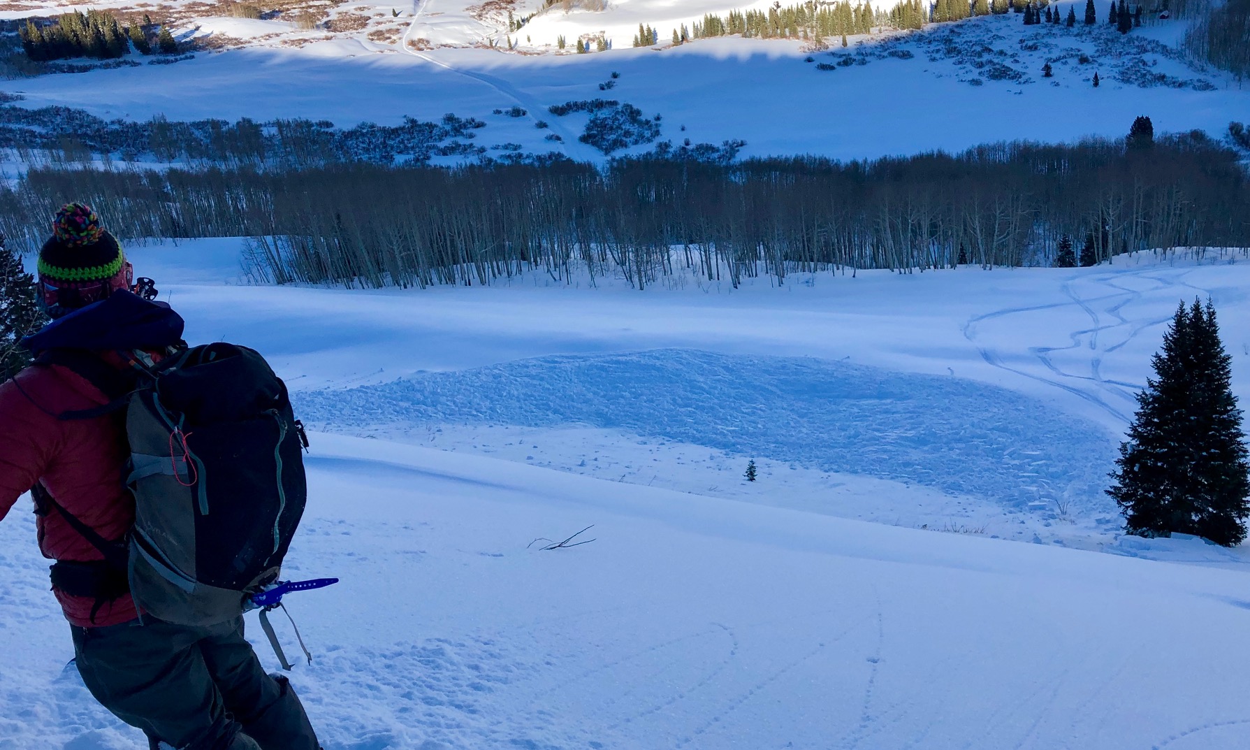
Subject: West of West out by Beckwith
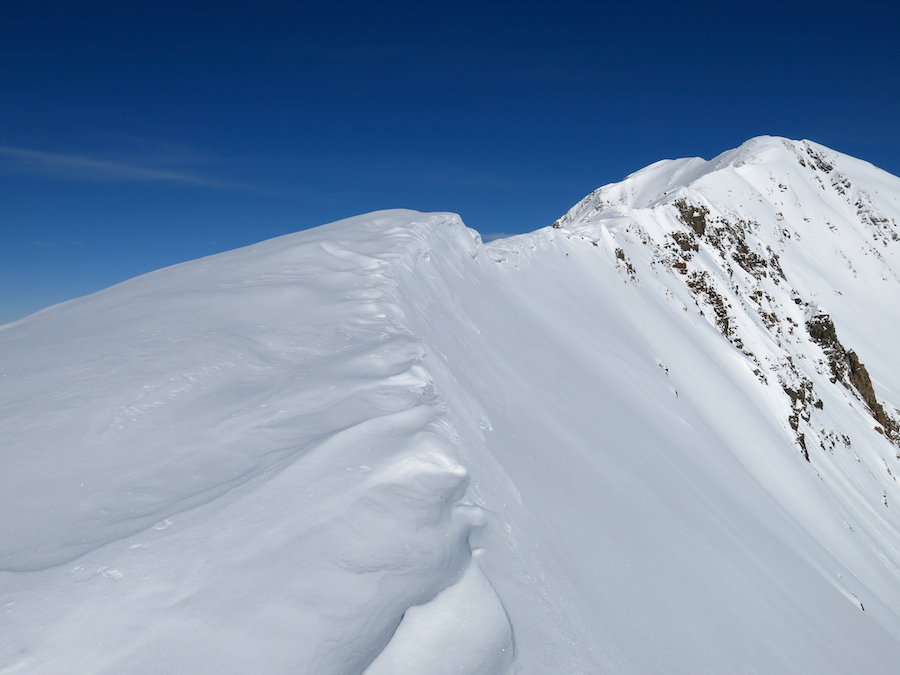
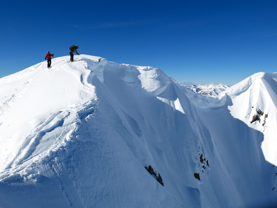
Aspect: North, North East, East, South East, South
Elevation: 9,300′ to 10, 700′
Avalanches:
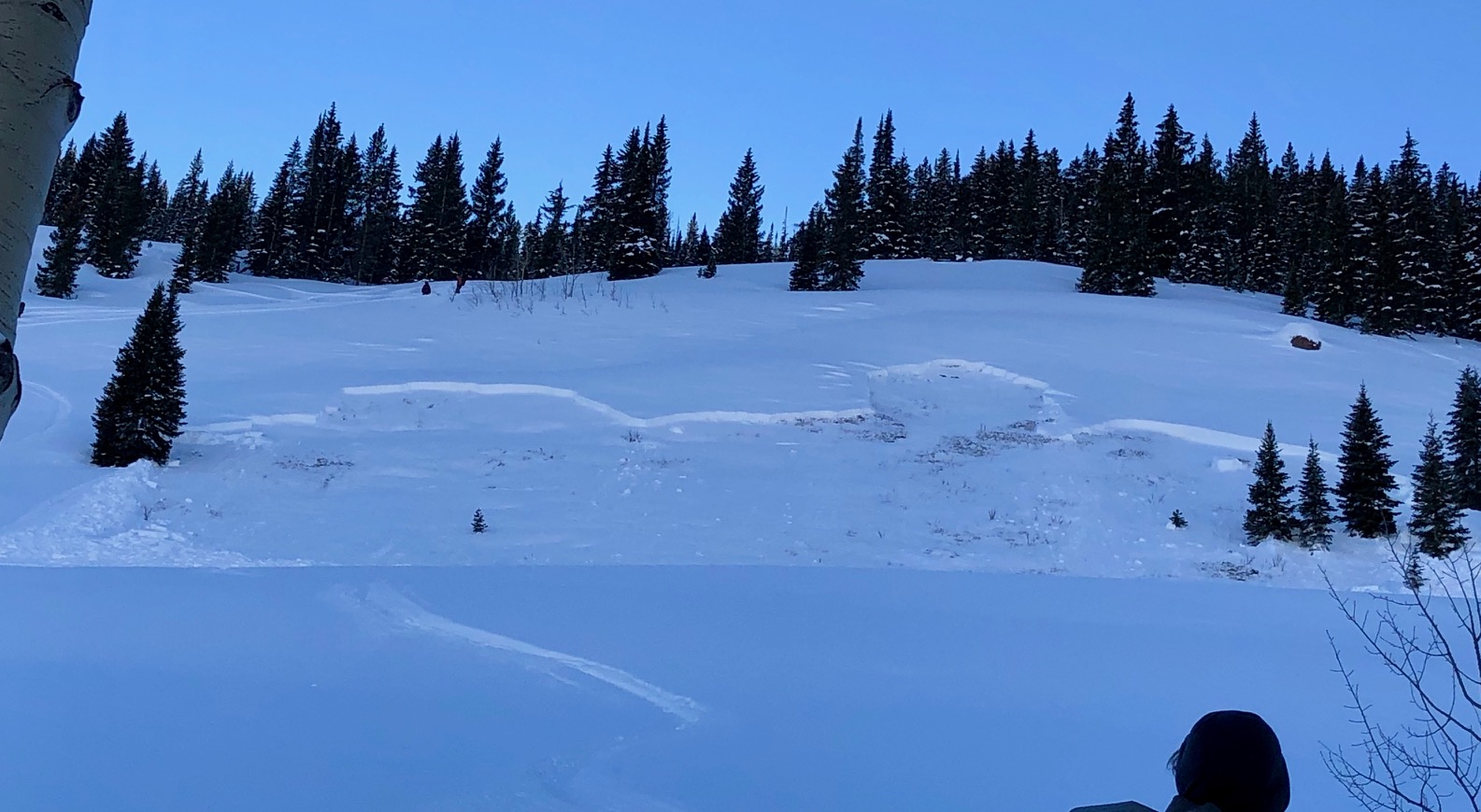
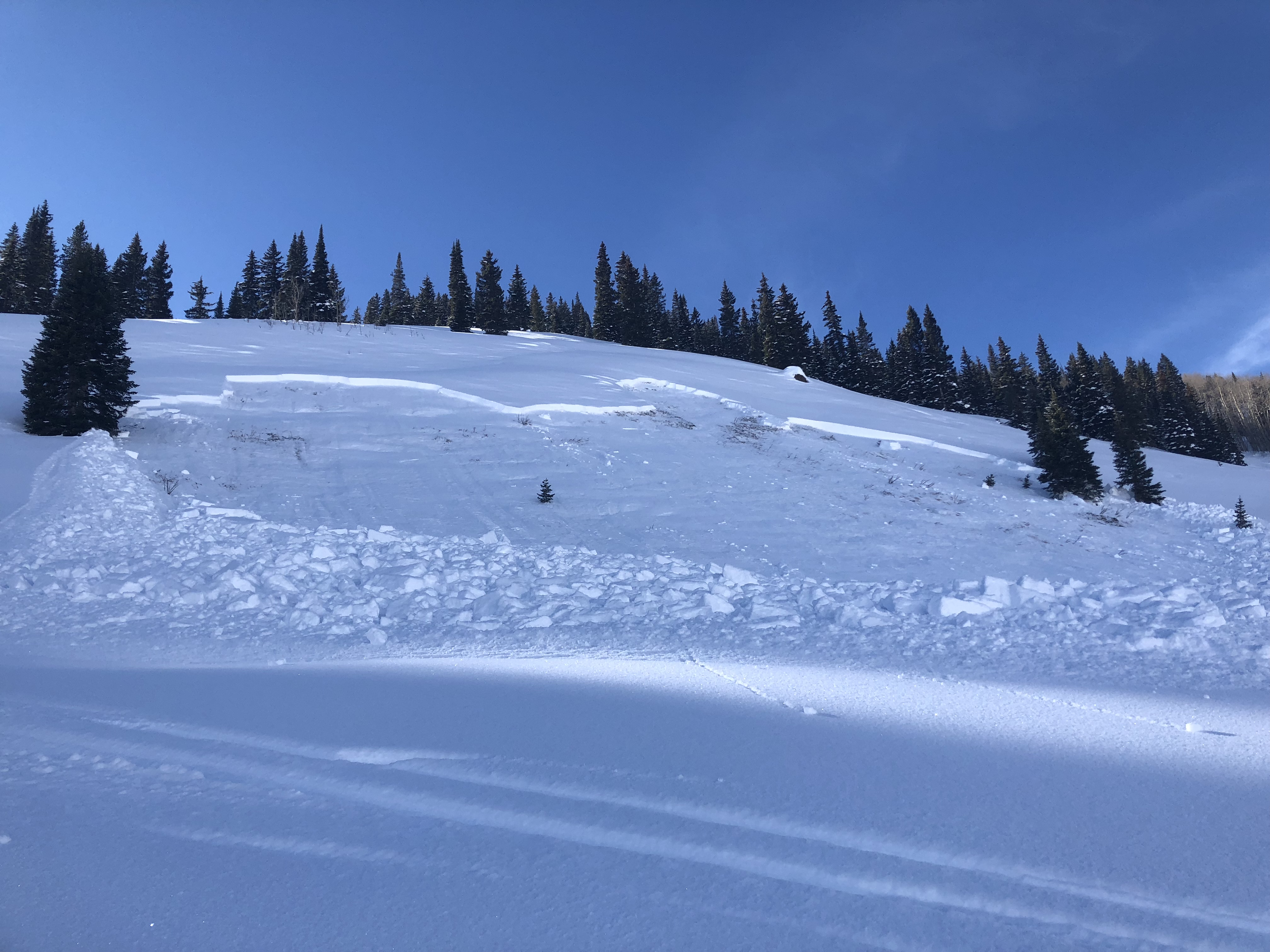
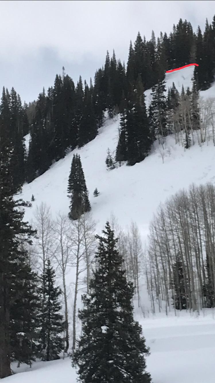
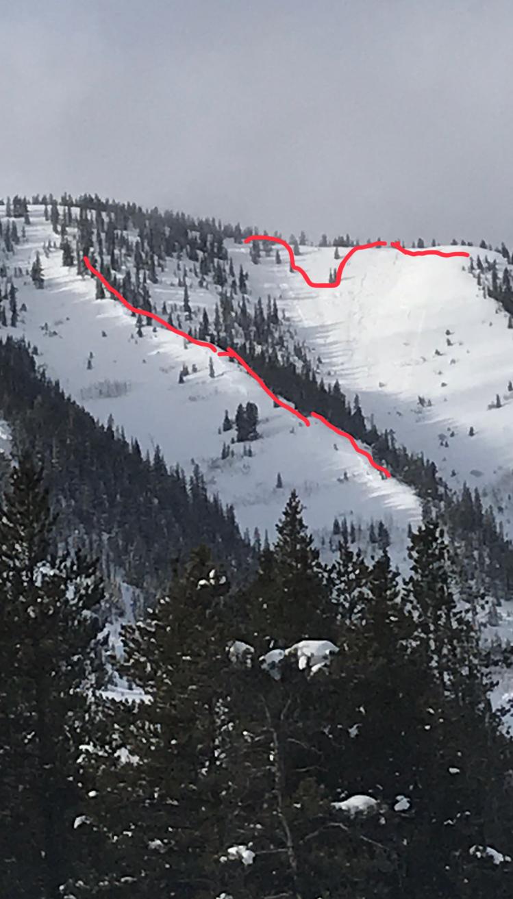
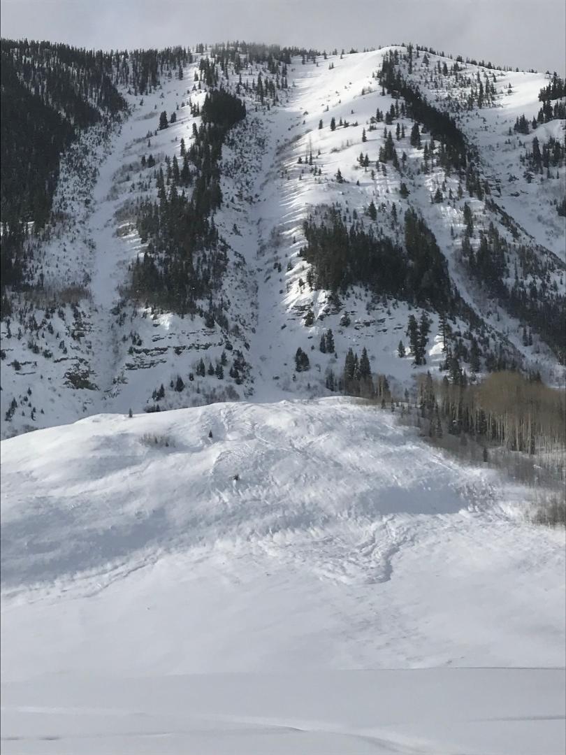
one snowmobile triggered slide on small drifted SE slope BTL, D1. two other SE BTL naturals in the area on SE side of East Beckwith, D1. two natural D1.5 on steep east slopes BTL. One snowmobile ride out viewed one small D1 on north aspect of Mt. Axtel below cliff bands in 3rd bowl.
Weather: Partly cloudy skies to start turning mostly cloud skies with very light snow around 2pm.
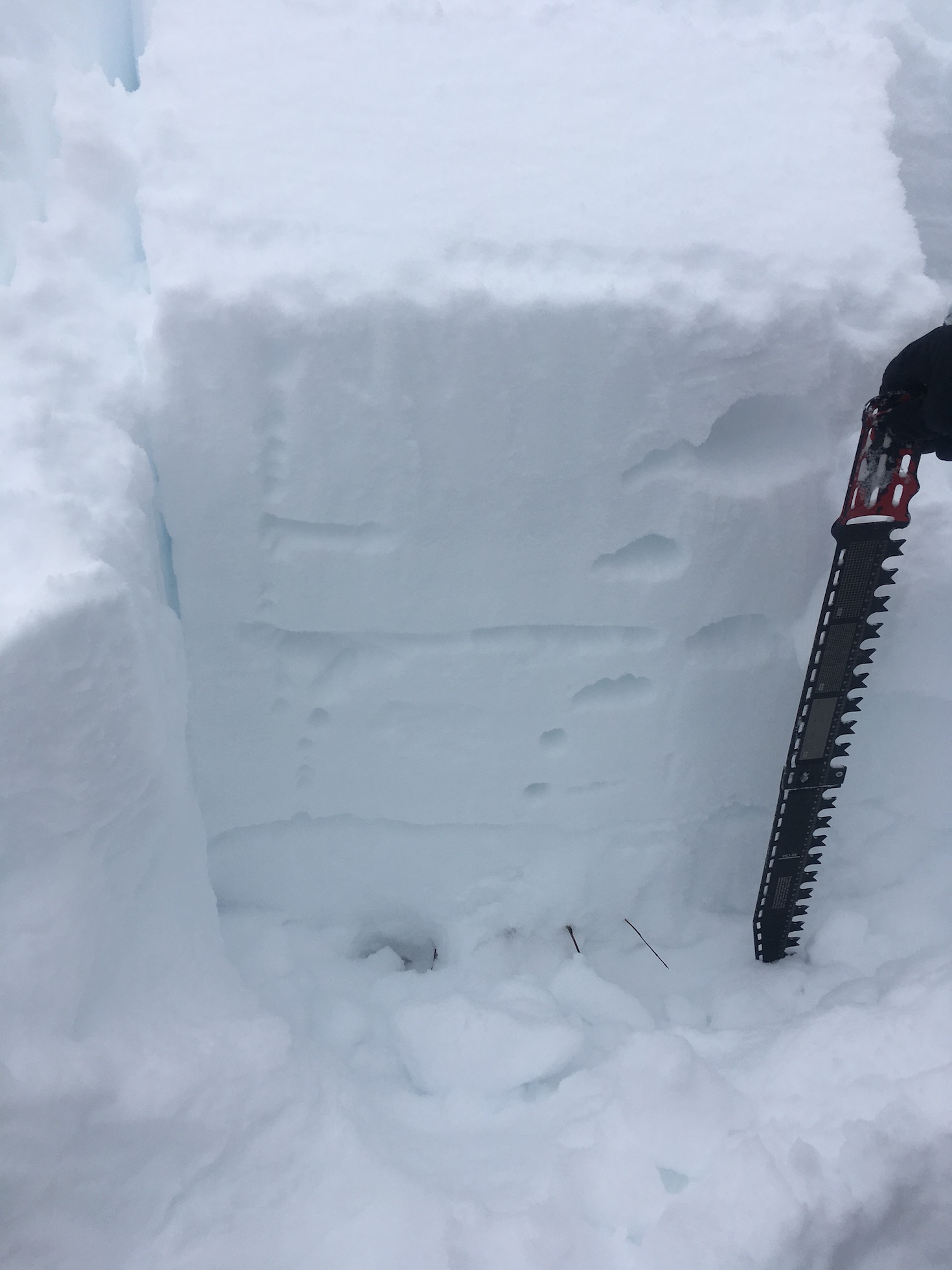
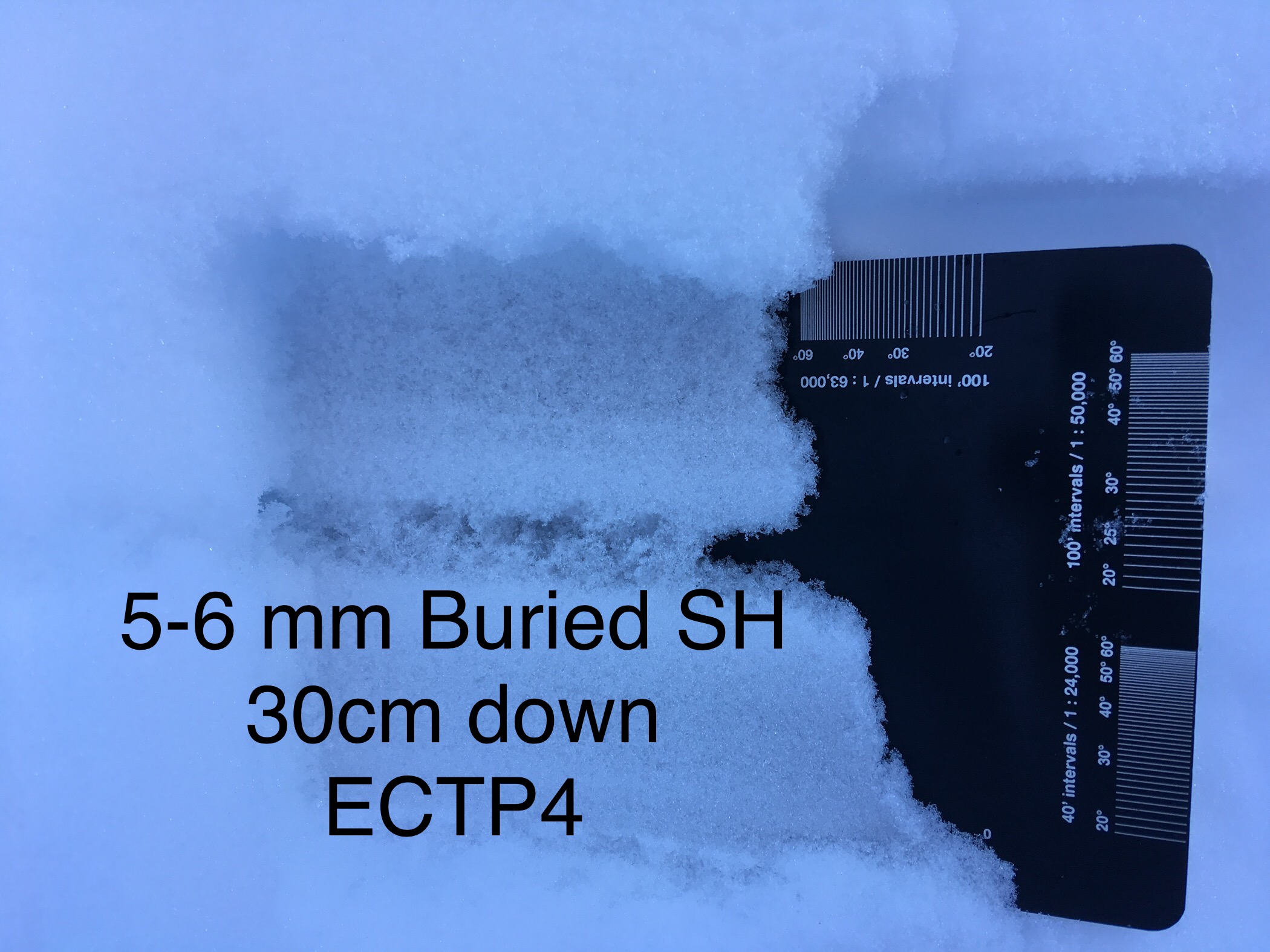
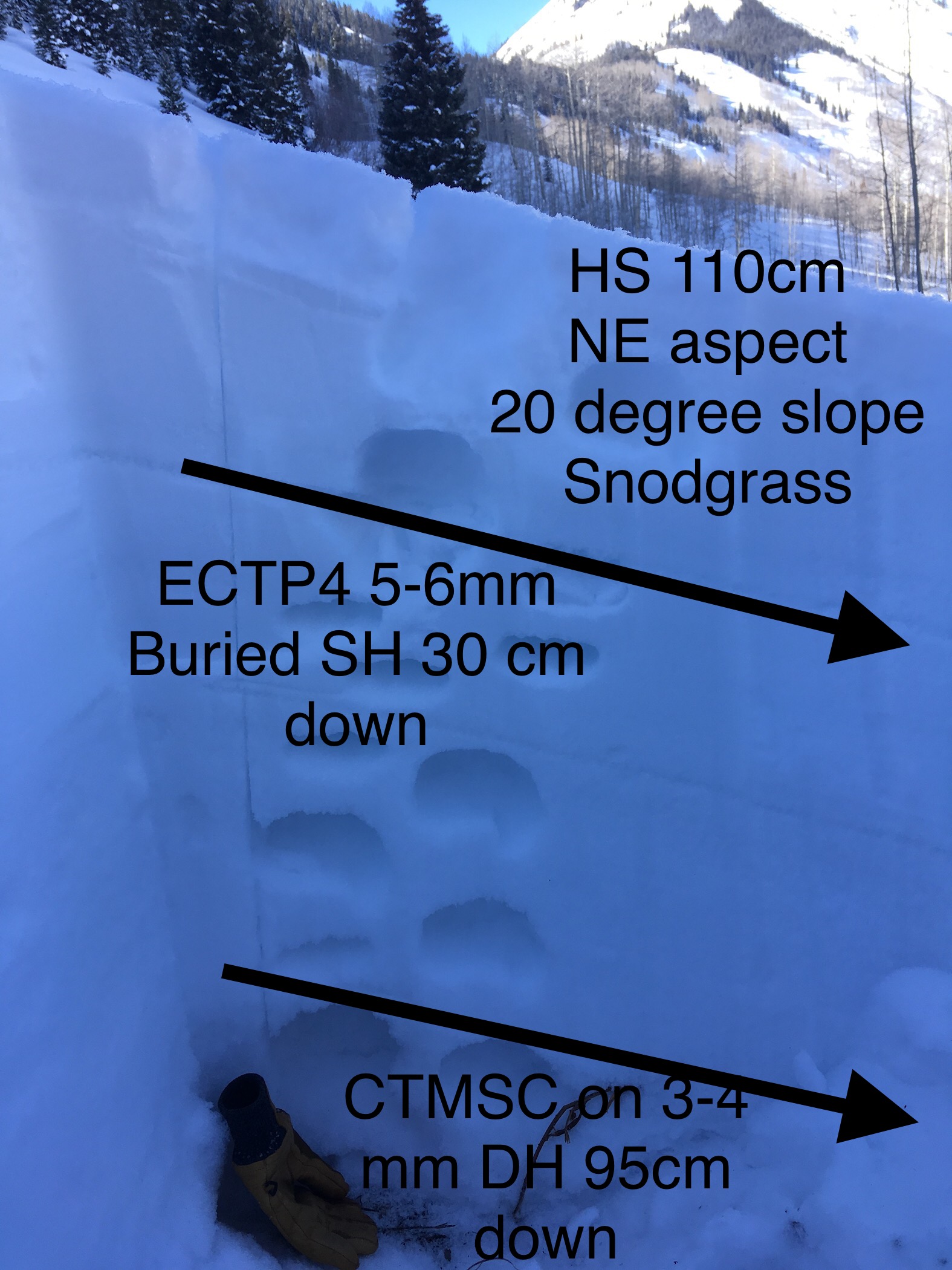
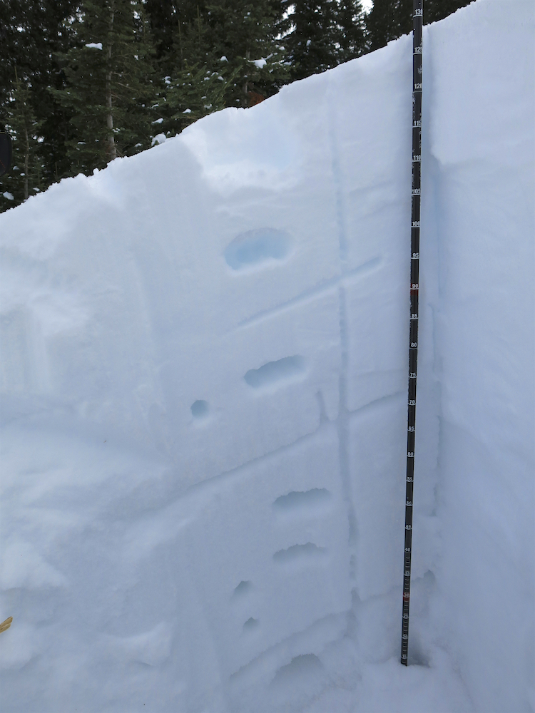
Snowpack: This area several miles to the west of Kebler Pass on E and N aspects had average HS around 125cm, with one NNW location up to 145cm. Snow depths in this area were less than the Kebler Pass area and more than the far eastern areas like Brush or Cement Creek, closer match to the middle portion of the Gunnison zone like the lower Slate River corridor or Washington Gulch. Several test profiles were performed on SE, NE, and NNW locations. ECT scores showed hard or no result. Inspecting one suspected snowmobile triggered avalanche on a SE slope, the failure occurred on the Thanksgiving interface whereas the NE, and NNW slopes the Holiday interface or higher buried SH will be the interfaces of concern in near term with additional loading. Briefly poked into a very small chunk of a south slope and found HS between 70 and 90cm with stacks of facets and crust with crusts up to 3 cm.
Photos:
-
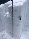
- test profile on NNW, BTL

-
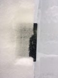
- Close up of SH layers on protected NNW, BTL

-
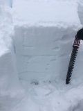
- Test profile on SE, BTL