


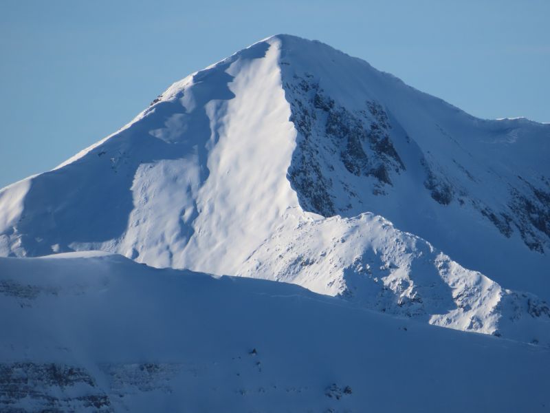
Weekly summary is here. Avalanches are running bigger, breaking on large-grained weak layers buried by hard slabs formed from the 1/5 storm snow.
WEEKLY SNOWPACK SUMMARY JANUARY 12-19, 2024
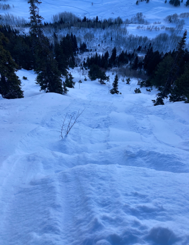
Weekly summary is here! The snow is deep, and the valley is happy. A natural avalanche cycle is petering out as the snow settles in, but remote-triggering avalanches large enough to bury or kill you should remain a primary concern in backcountry travel.

Slate River Trailhead Day 1/21
Join us at the Slate River Trailhead on Sunday 1/21 from 9am – 2pm.
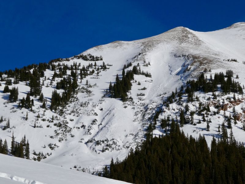
WEEKLY SNOWPACK SUMMARY JANUARY 5-12, 2024
Weekly summary is here! Our snow dances were seen and prayers heard. Enjoy the new snow but be aware that we’re back to a scary, reactive mid-winter snowpack in the backcountry.

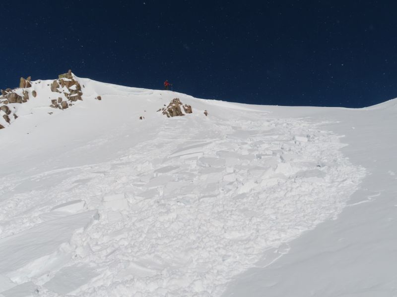
WEEKLY SNOWPACK SUMMARY DECEMBER 29, 2023 – JANUARY 5, 2024
 Weekly summary is here. Ringing in the New Year with cold nights and an increasingly faceted snow surface. Cheers to more white fluffy stuff in 2024!

Snodgrass Trailhead Day 1/6
Join us at the Snodgrass Trailhead on Saturday 1/6 from 9am-2pm.
WEEKLY SNOWPACK SUMMARY DECEMBER 22-29, 2023
Weekly summary is here. Find the soft snow below treeline in wind-sheltered terrain and find evidence of a Christmas wind-pocalypse up high! The dry spell continues through the next week.

New Years Eve Trailhead Day – Wash Gulch
Join us at the Washington Gulch TH on New Years Eve from 9am – 2pm
WEEKLY SNOWPACK SUMMARY DECEMBER 15-22, 2023
Weekly summary is here. A warm, dry spell had slopes falling dormant, leading to an overall decrease in avalanche danger and activity. Upcoming winter storms could shake up the forecast during the holidays.

Capital Campaign
Dear CBAC Community,
Our motto is, “We do it every day,” and for 24 years our commitment to safeguarding lives in our valley through professional weather and avalanche forecasting has been unwavering.
Since our humble beginnings in a basement on Sopris Avenue, our center has grown and evolved and set the standard for excellence as a locally run avalanche center in this critical public safety service. The success of our model has others recognizing the value of what the CBAC is doing and since we started, eight similar centers have opened throughout the West and in Alaska.
Having a forecast team that lives in the area brings unmatched expertise in understanding our local snowpack, weather patterns, and the intricacies of our terrain. It is the backbone of our safety efforts in the valley.
Yet, like so many other entities in the Gunnison Valley, we are not immune to current economic challenges and keeping experienced and qualified staff in place has become more and more difficult. We’re at a pivotal moment and we need your support.
To address that, we’ve launched a Capital Campaign aimed at establishing an endowment fund dedicated to our forecast staff. Our goal is to raise $50,000 and we’re excited to say that we’ve already received a generous offer to match the first $10,000 in donations.
Your partnership in this campaign is a direct investment in safety and expertise. Your commitment to our cause will empower us to retain and support our exceptional staff, not just this year, but for years to come, thereby safeguarding our ability to provide top-tier avalanche forecasting.
As a token of our gratitude, we have a CBAC embroidered down coat from our friends at Big Agnes for every donation of $1000 or more. In addition, everyone who participates in the Capital Campaign will be entered into a drawing to spend a day in the field with a forecaster to see exactly what they do, and how they do it.
My hope is that you see the value in what we do and join us in securing the future of avalanche forecasting in our valley. Your generosity will make a tangible impact in our ability to provide a critical public safety service and ensure that we continue to “do it every day.”
Please visit https://crm.bloomerang.co/HostedDonation?ApiKey=pub_fca5b45d-4a03-11e7-afbe-024e165d44b3&WidgetId=59574272 to contribute.
Thank you and here’s to a safe and snowy 2024!
Than Acuff
Executive Director
Crested Butte Avalanche Center