Date of Observation: 12/02/2022
Name: Evan Ross
Zone: Northwest Mountains
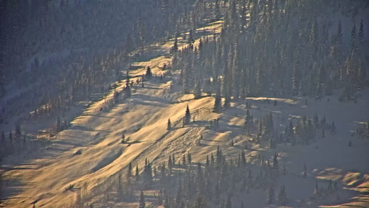
Route Description: Kebler Area Tour. Northerly, 10,000ft to 11,500ft
Observed avalanche activity: Yes
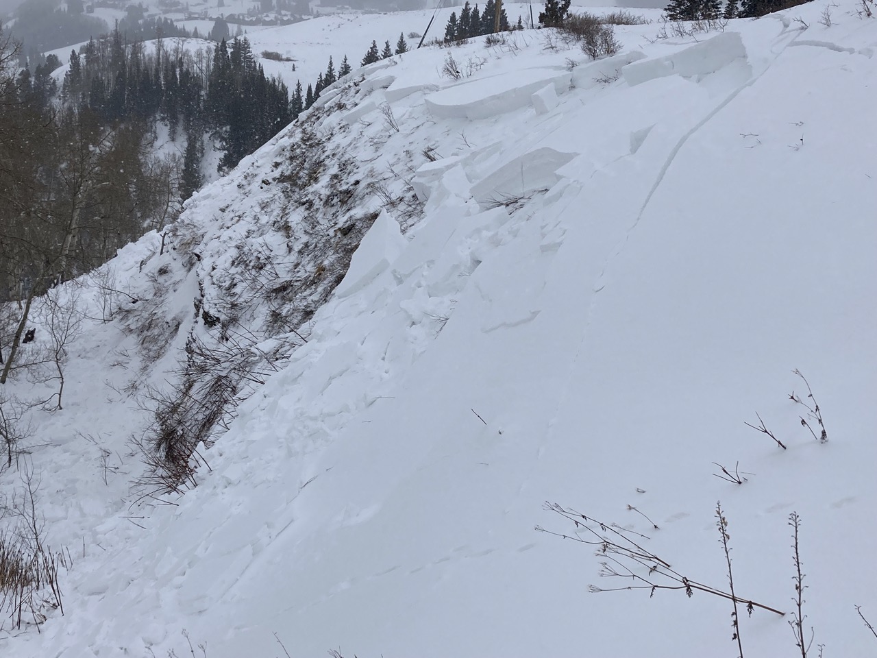
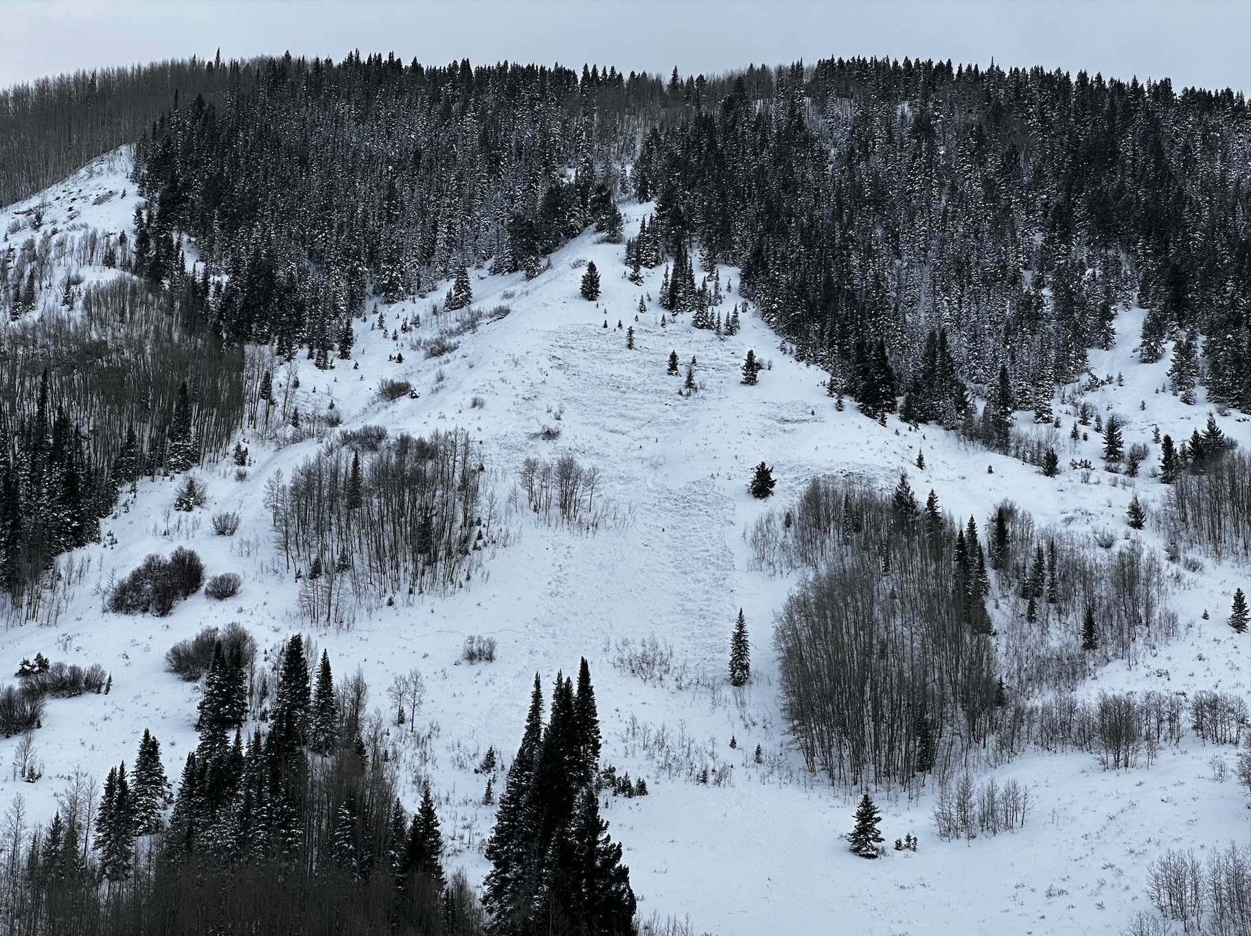
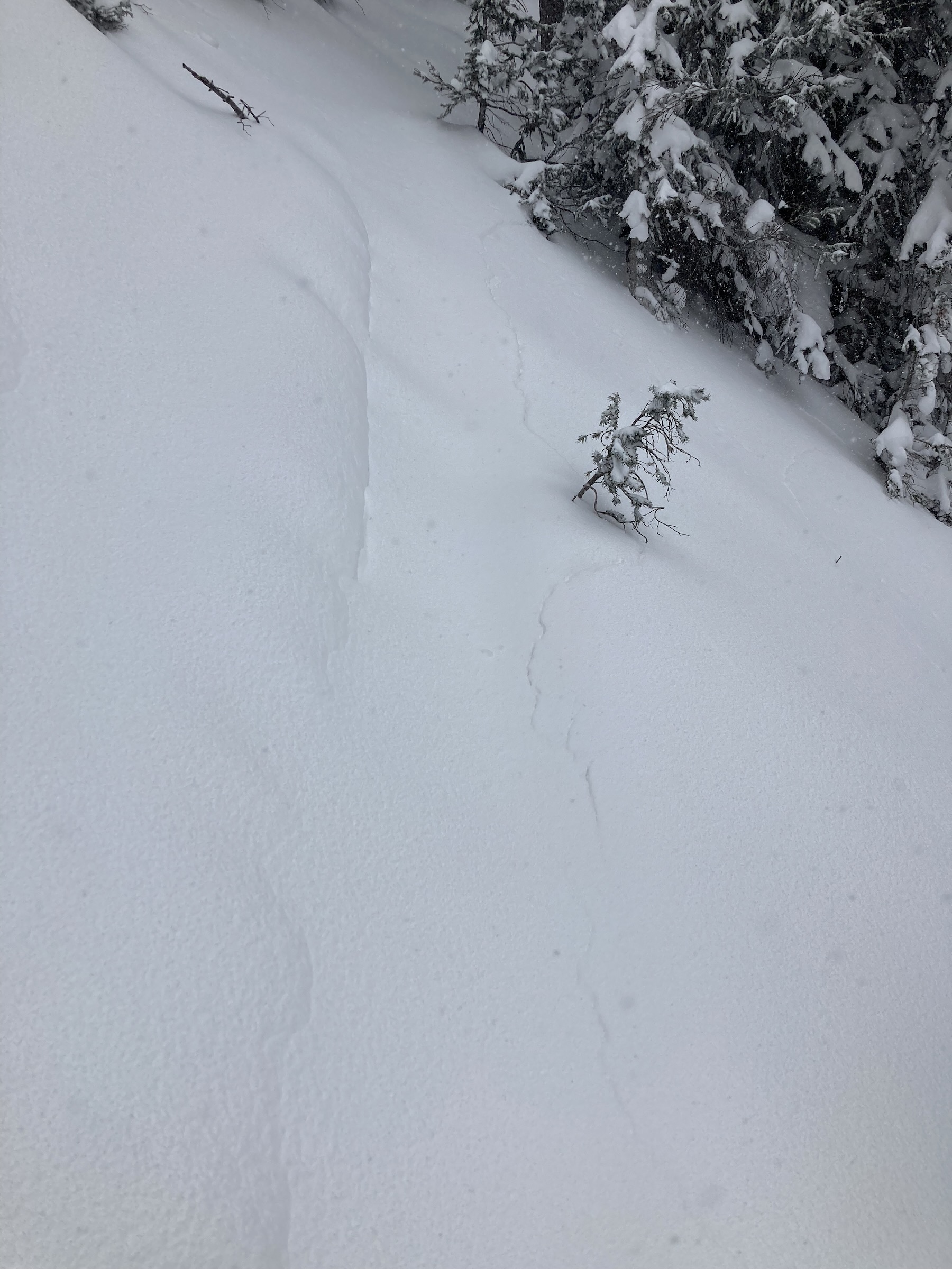
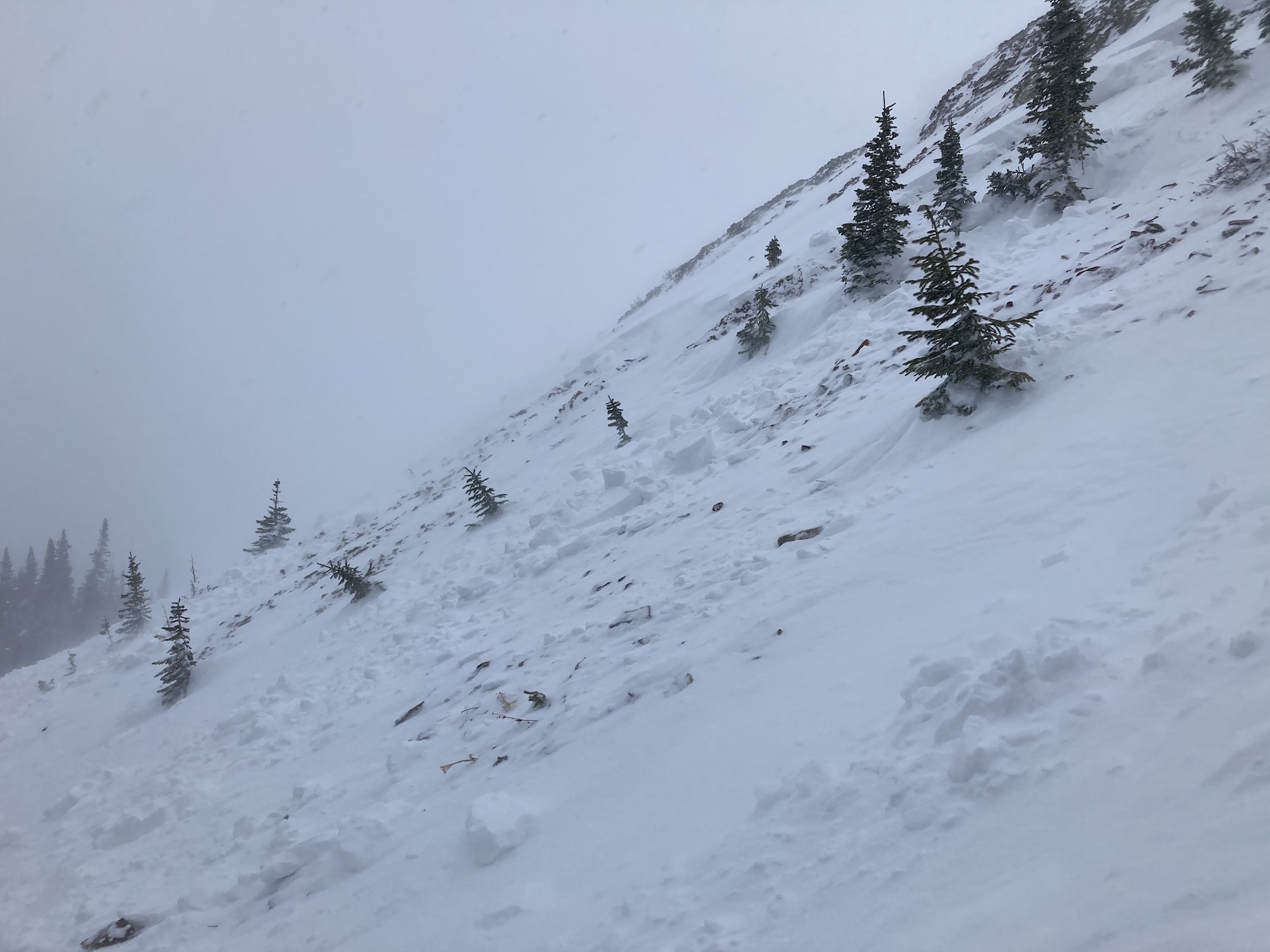
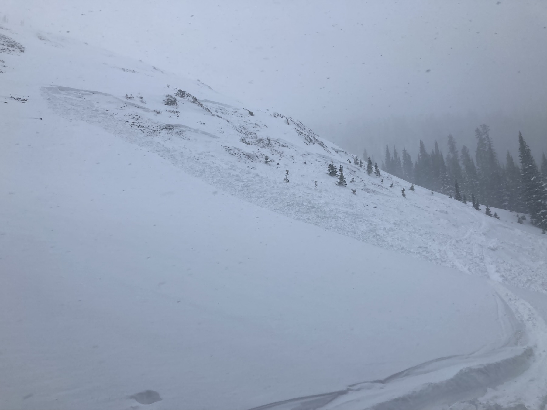
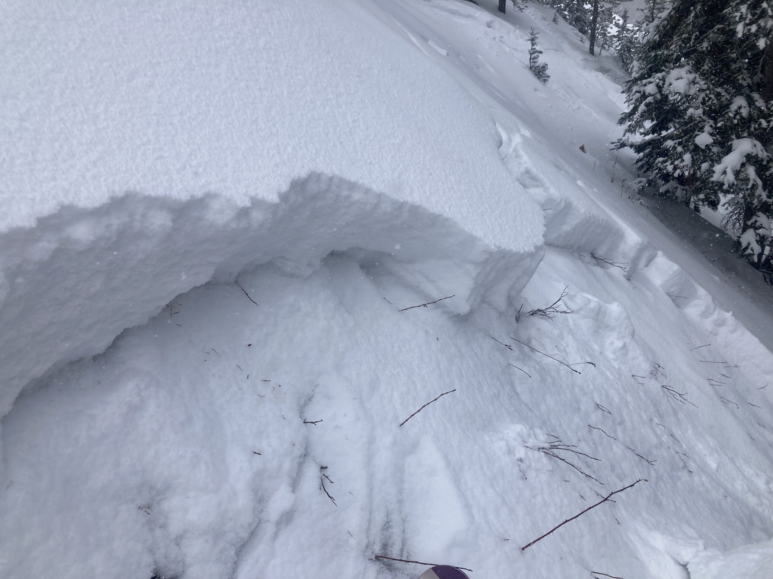
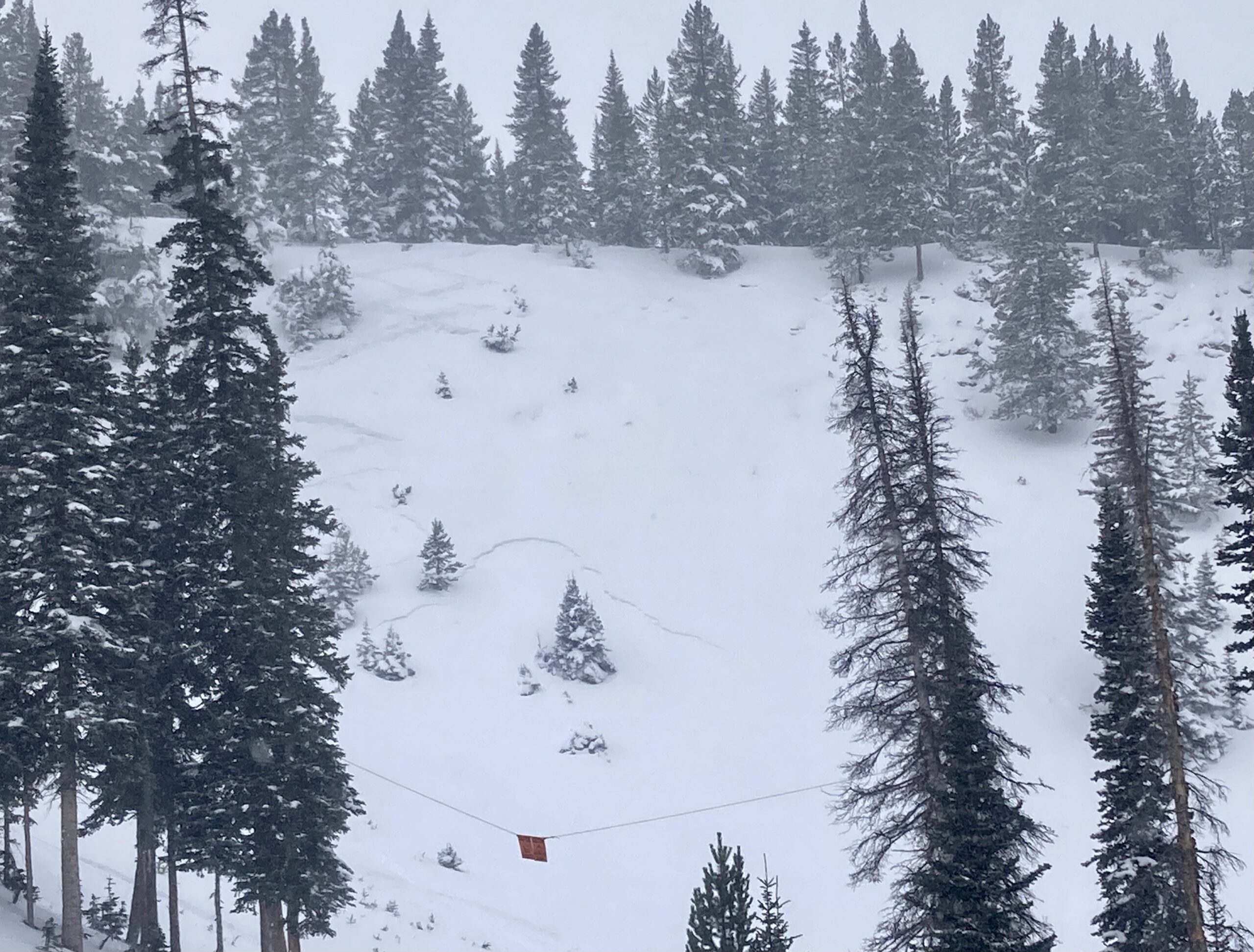
Avalanches: Skier triggered a couple of small slides. The first was while descending small, but steep terrain. The 2nd was while bouncing for a collapse, resulting in a remotely triggered avalanche from about 25 feet away.
Weather: Strong winds and blowing snow most of the day. Hard to gauge how much it was snowing vs blowing.
Snowpack: HST was about 20cm by 1 pm at 10,500ft. A distinct layer of graupel near the base of the storm and plenty of graupel mixed in with other perception particles within the storm now. Thick and supportive new snow. Made the low angles ski really well. Total HS in the area is around 100 to 120cm.
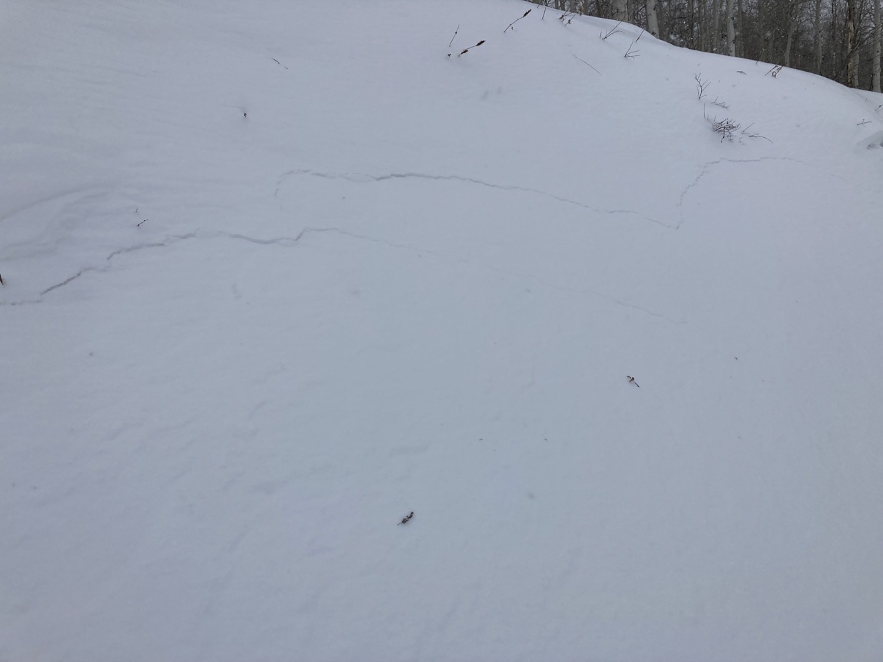
Lots of collapses and shooting cracks in the snowpack, as has been normal lately. Each time I looked, those cracks were extending down to the weak sandbox near the base of the snowpack.
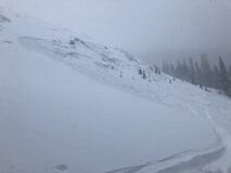
Photos:
-
-
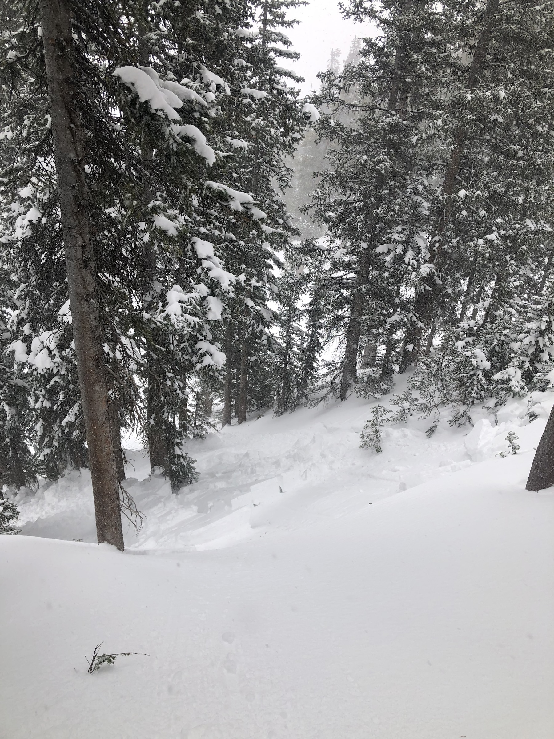
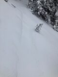
An old skin track with a fresh crack just below it.
-

-

-
Estimated avalanche date: 12/02/2022
Number of Avalanches: 1
Location
Location: Anthracite Range
Location Specific:
Start Zone Elevation: BTL: Below Tree Line
Aspect: N
Characteristics
Trigger: Skier
Trigger modifier:
Type: Soft Slab
Failure Plane: Old snow
Size
Relative Size: R1 very small
Destructive Size: D1- Relatively harmless to people
Avg. crown height (inches):
Avg. width (feet):
Avg. vertical run (feet):
Involvements
# of people caught:
# of partial burials:
# of full burials:
Additional comments:
Estimated avalanche date: 12/02/2022
Number of Avalanches: 1
Location
Location: Anthracite Range
Location Specific:
Start Zone Elevation: BTL: Below Tree Line
Aspect: NW
Characteristics
Trigger: Skier
Trigger modifier: Remote
Type: Hard Slab
Failure Plane: Old snow
Size
Relative Size: R1 very small
Destructive Size: D1.5
Avg. crown height (inches):
Avg. width (feet):
Avg. vertical run (feet):
Involvements
# of people caught:
# of partial burials:
# of full burials:
Additional comments:
5667