Date of Observation: 01/22/2023
Name: Evan Ross
Zone: Northwest Mountains
Route Description: West and East. 10,000ft to 11,800ft.
Observed avalanche activity: No
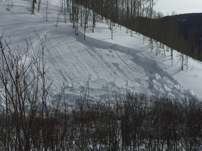
Avalanches: Small sluffs. Not enough to be problematic and more a sign of the good snow quality.
Weather: Clam wind. High thin clouds slowly built in, becoming partly cloudy around noon and overcast later in the afternoon.
Snowpack: Thank you Ullr, the snow is still really good in some places, after yesterday’s northerly winds. We didn’t travel into the high alpine where snow surfaces could have been more wind affected. On this tour, snow surfaces were delightfully soft.
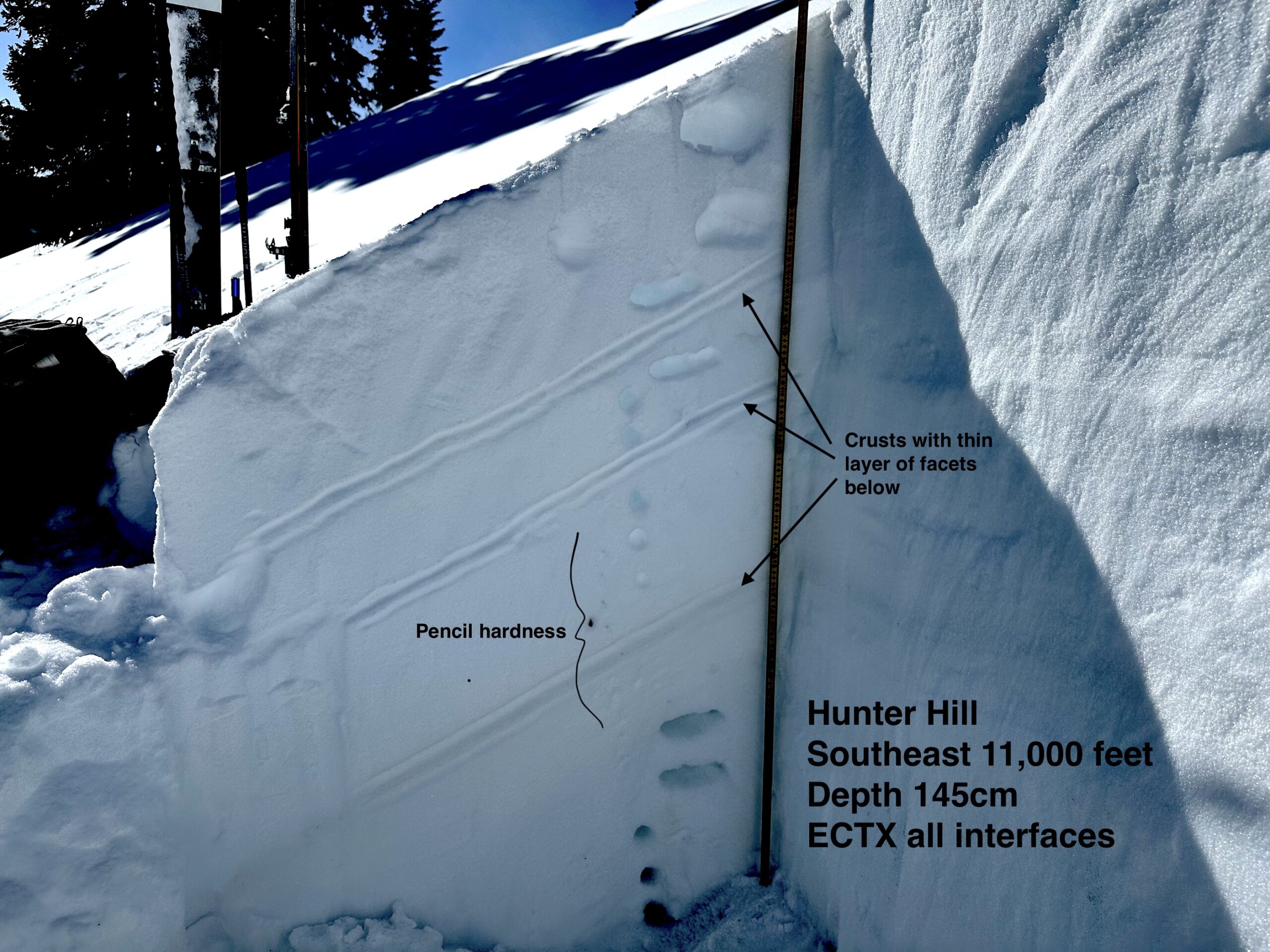
We started and finished the day on an east aspect between Ruby and the Dyke. The total snowpack depth was deep. The only potential concern was lingering wind slabs near ridgeline. We didn’t end up encountering a wind slab problem where we gained the ridge.
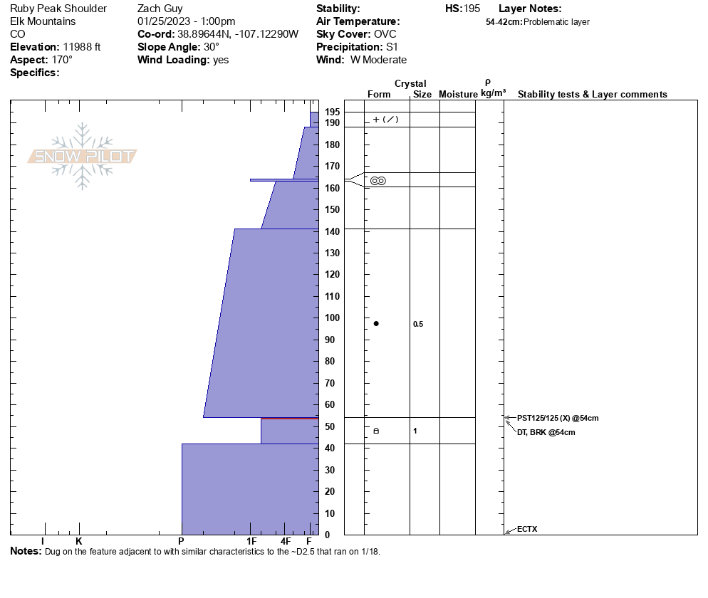
Off the west side, the snow surface in the first hundred feet was a little wind pressed, then it became soft and well-preserved powder from the last cycle. Those precipitation particles near the snow surface were still fairly large and had not decomposed much. At 10,000ft on the west side of the Dyke, the total HS was 170cm on a 10 degree west facing slope. Between 10,000ft and 11,800ft the HS varied dramatically in this location. Both due to past wind events and perhaps old avalanche activity that is no longer visible. Either way, we encountered no signs of instability while skiing and climbing steep slopes.
Photos:
-

-
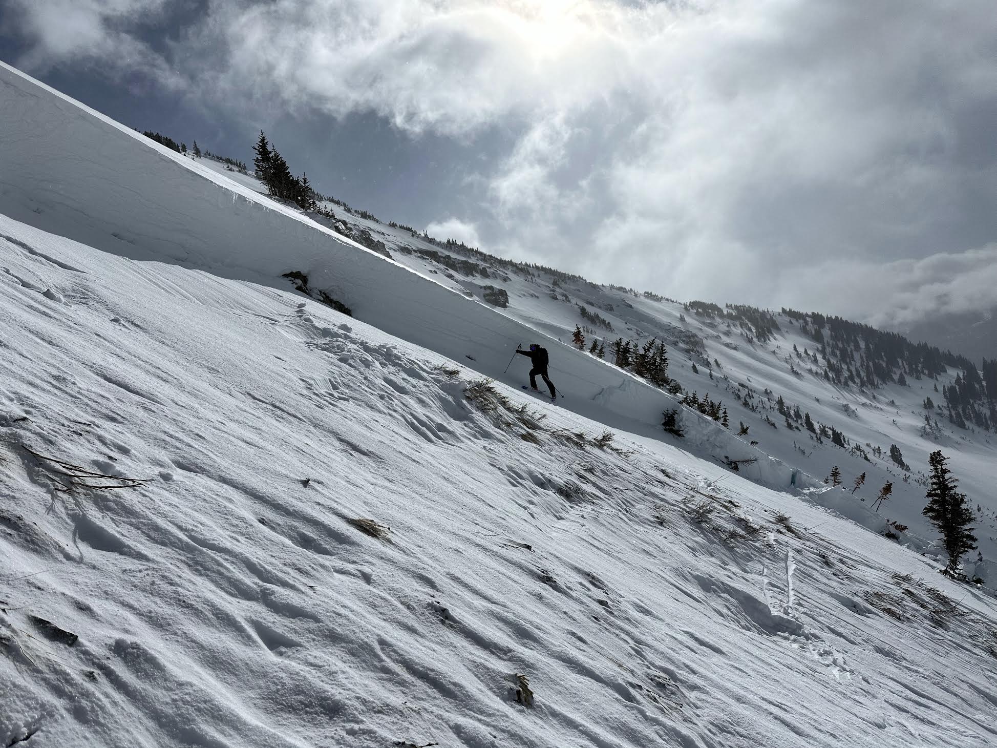
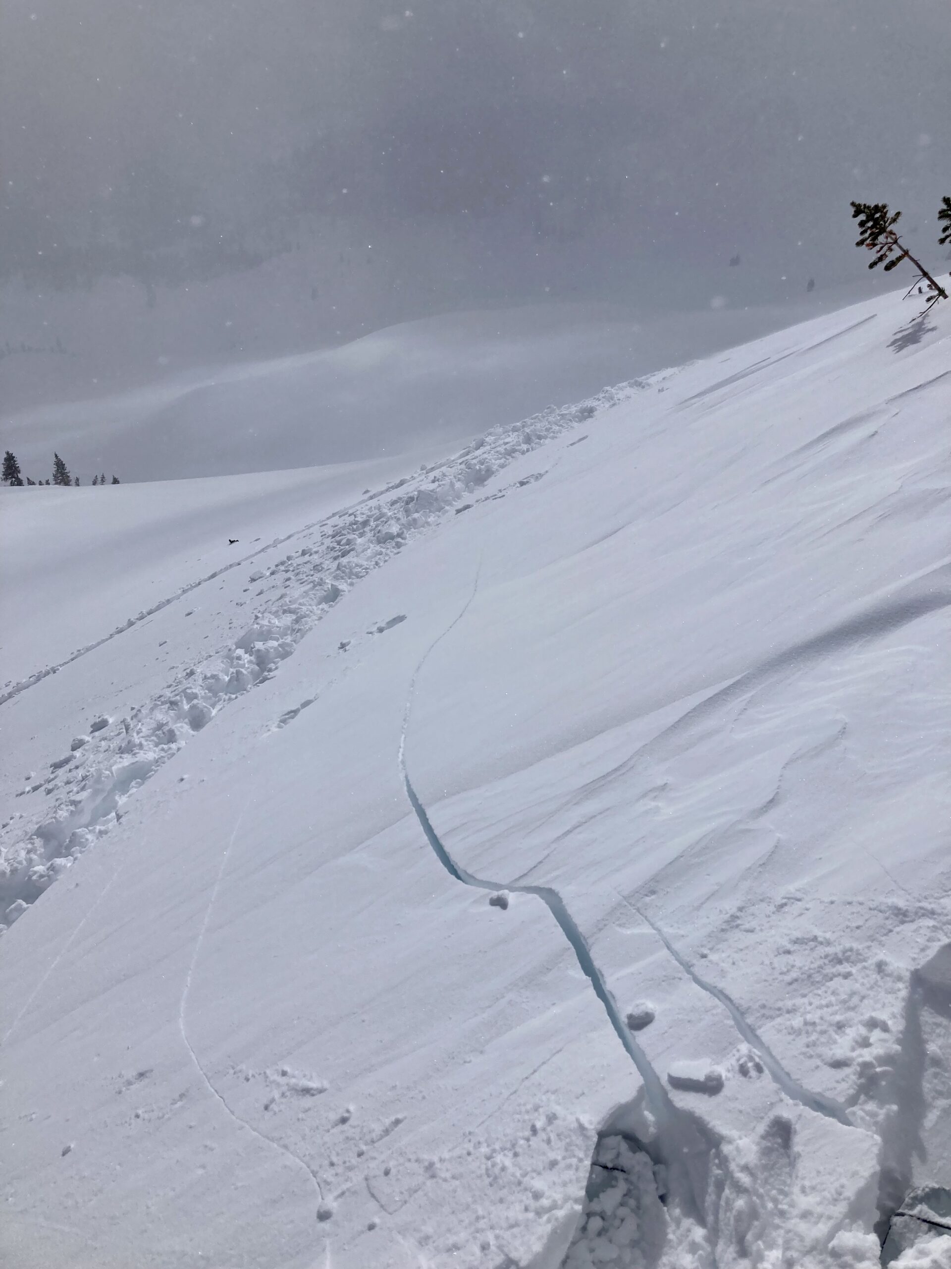
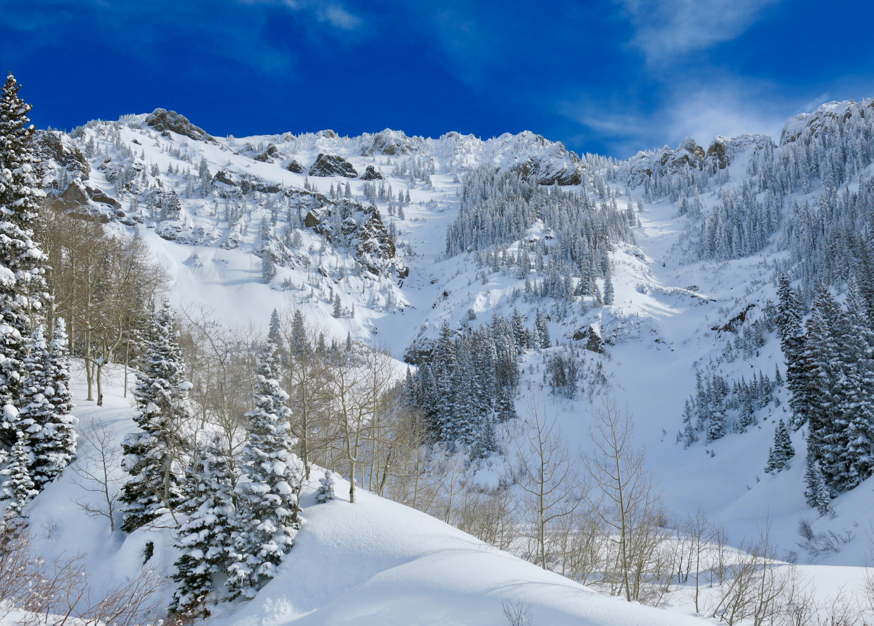
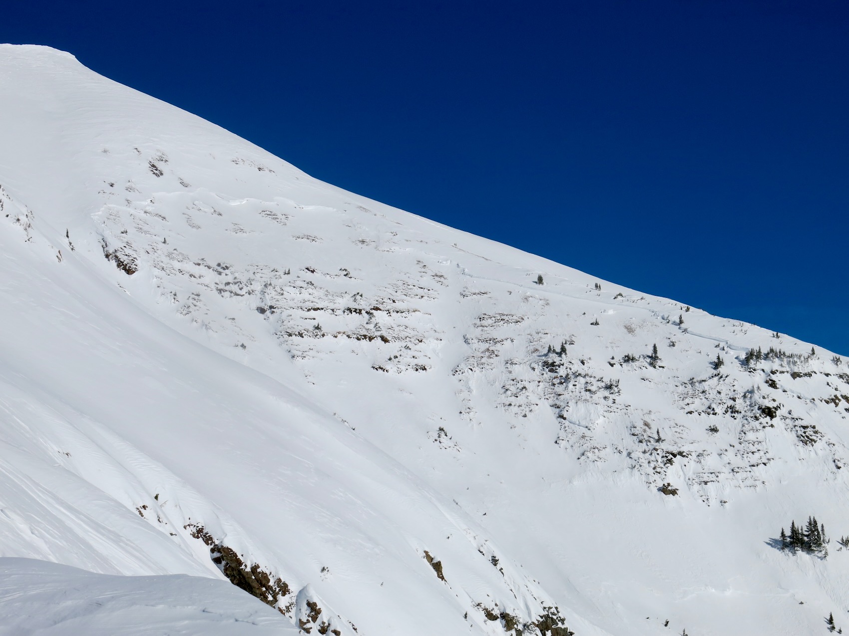
West aspect below the Ruby Dyke. Snow in the trees, loose dry avalanches, love at first sight.
-

-
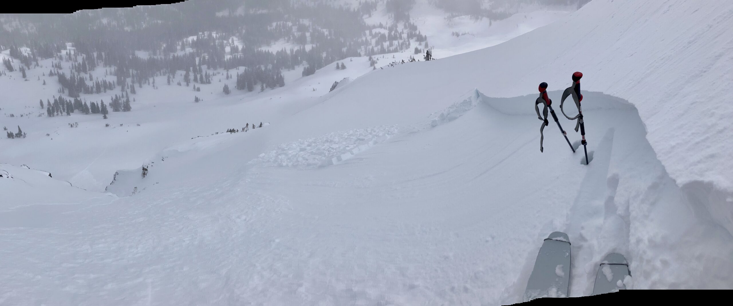
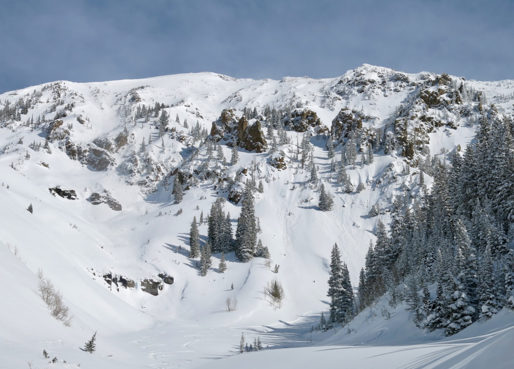
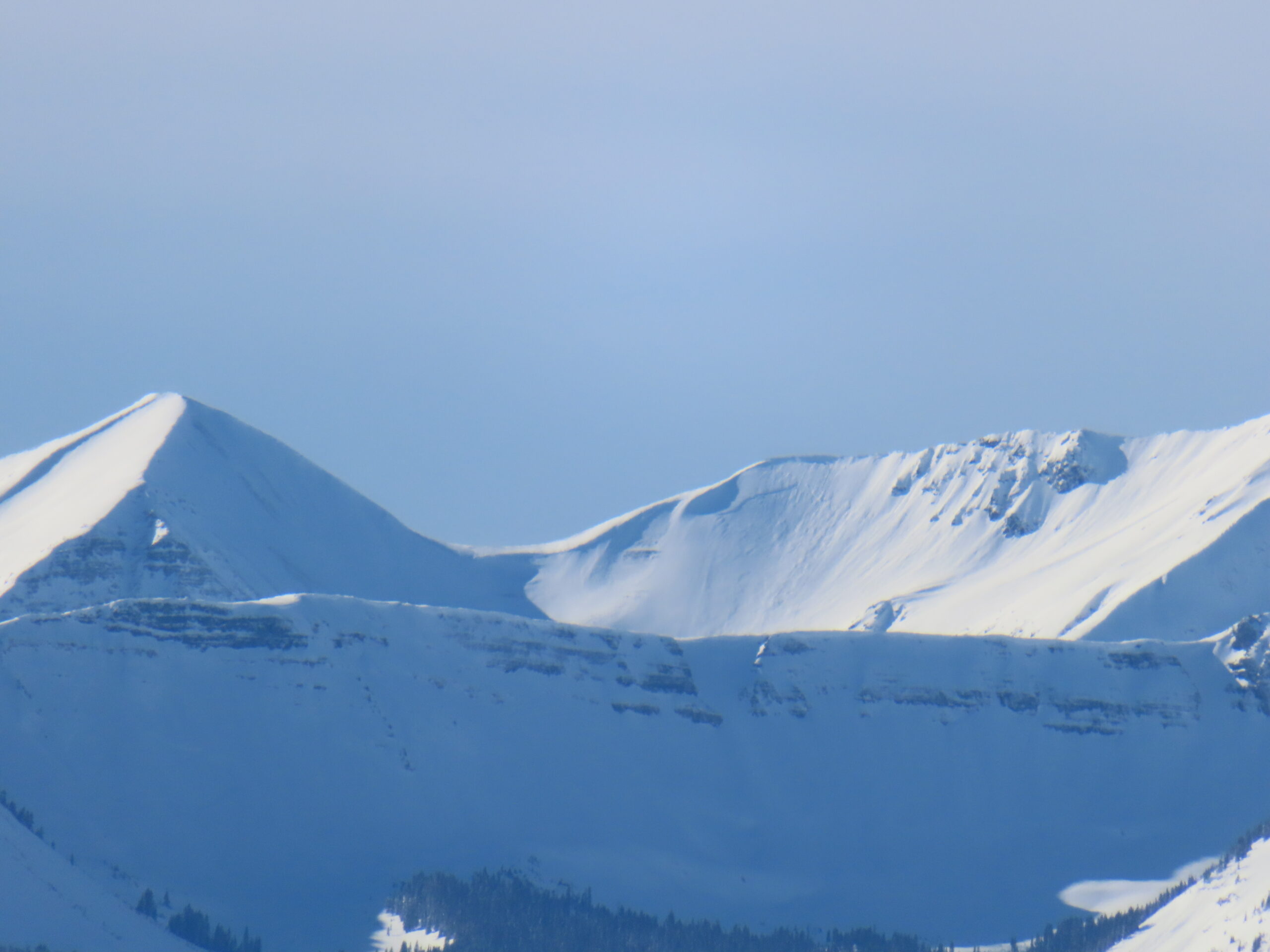
SW aspect off Ruby Peak
-

-
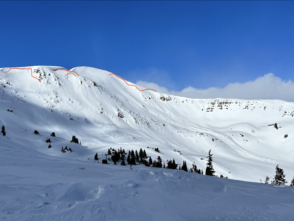
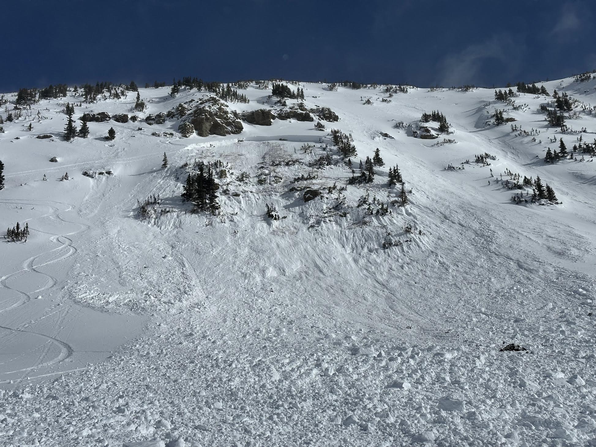
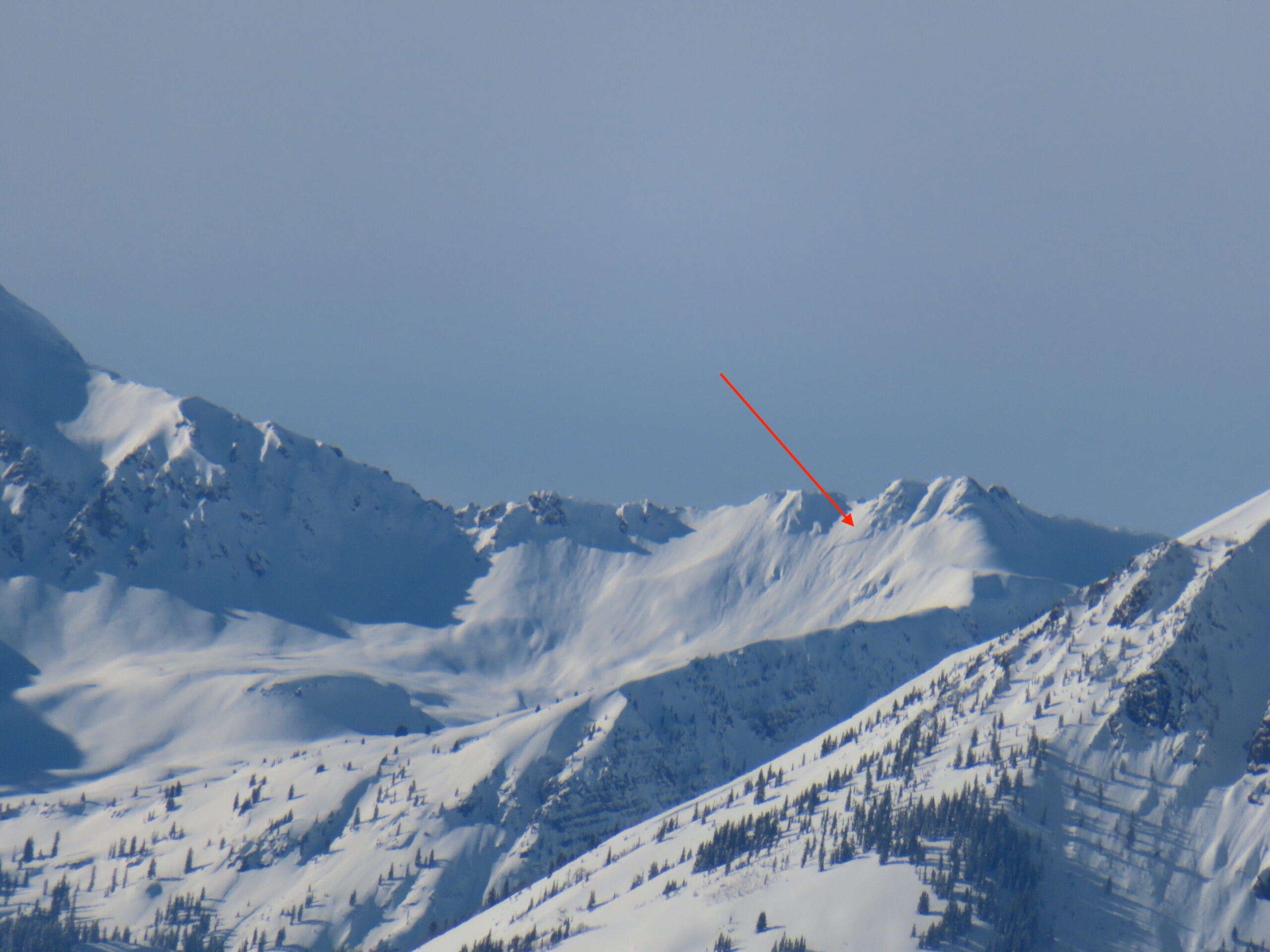
Another view of the previously reported avalanche off of Ruby Peak.
5924