Date of Observation: 02/27/2023
Name: Zach Guy
Zone: Northwest Mountains
Route Description: Traversed from Ohio Pass through the Playground to the south side of the Anthracite Range to Beaver Ponds, traveling on various aspects to 11,500′
Observed avalanche activity: No
Avalanches: A few minor loose dry avalanches in the fresh snow. Eric spotted a few small wind slabs in the Whetstone area this morning.
Weather: Mostly cloudy, with a few flurries with minimal accumulation and light winds. About 4″ of new snow past 24 hours.
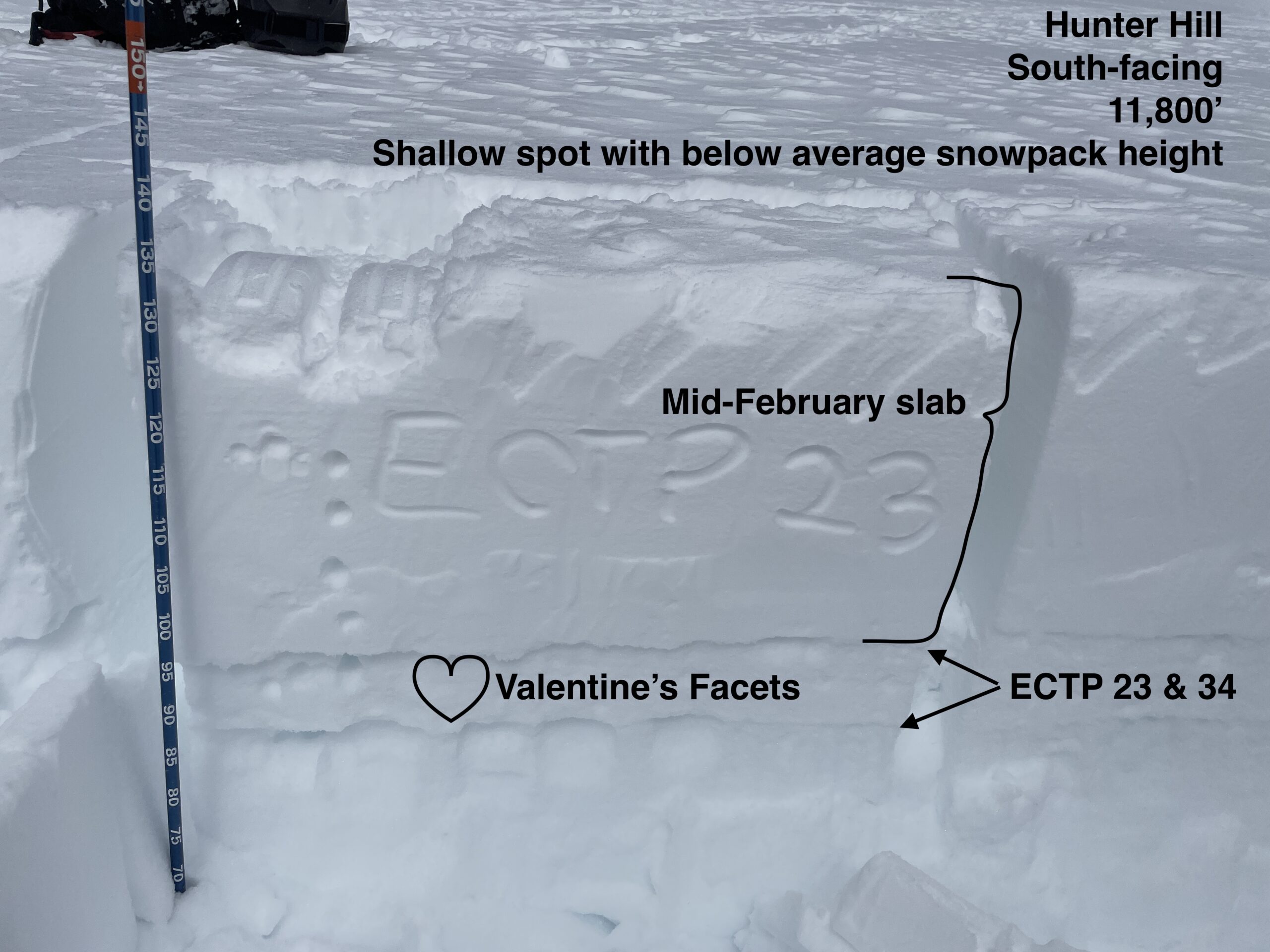
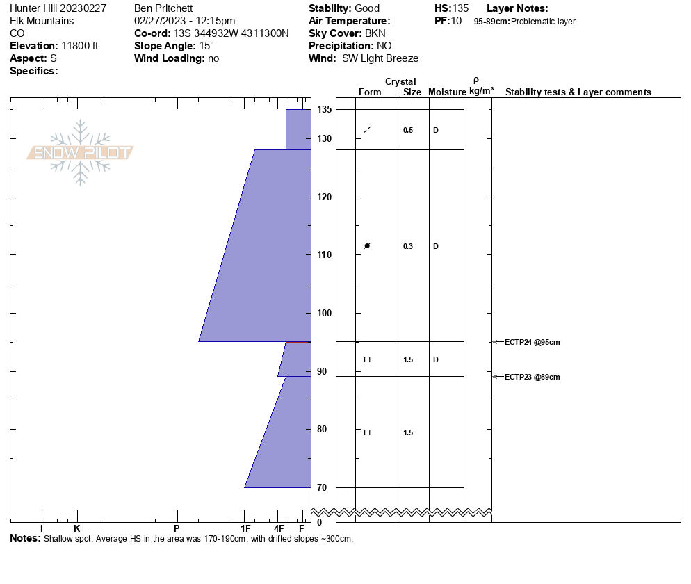
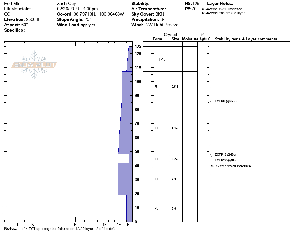
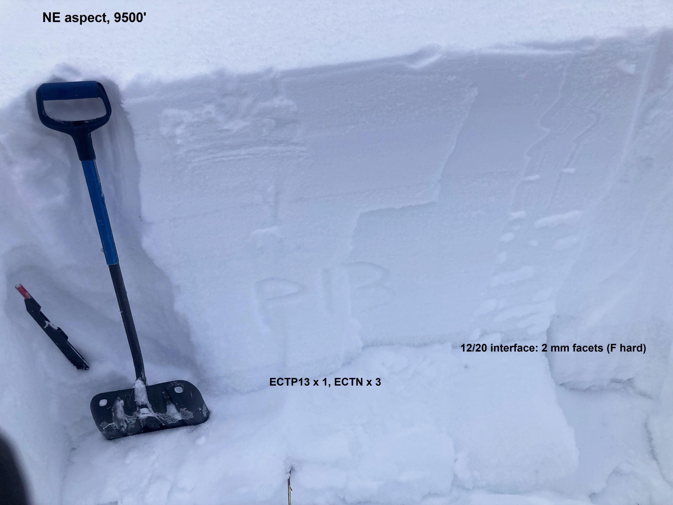
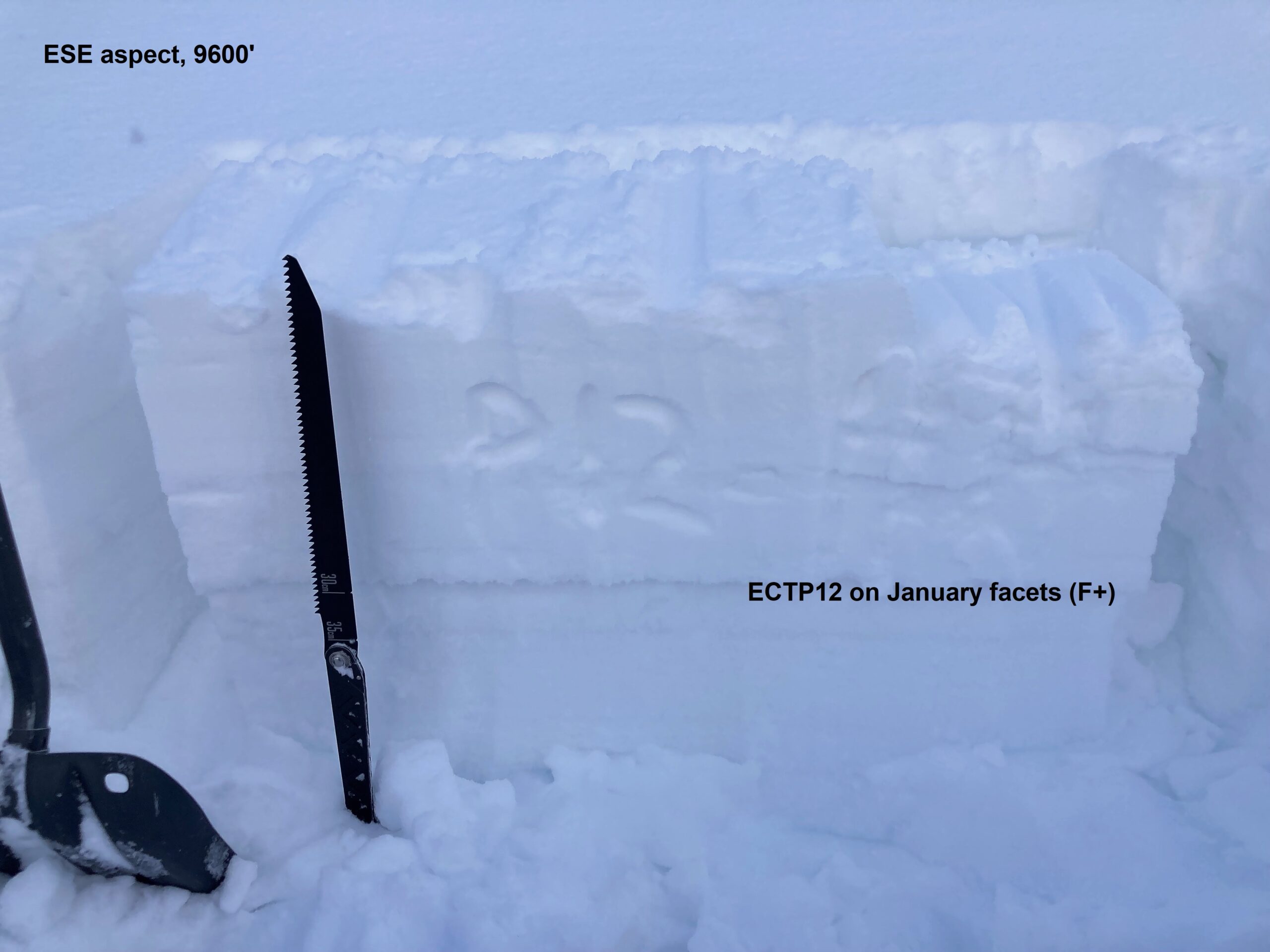
Snowpack: Hunting for persistent slab issues today in terrain features that might hold weaker or more developed facets in the upper snowpack. Test results on a wind-exposed northerly facing slope near treeline did not produce any notable results (ECTN) on small-grained facets about 2 feet deep. On an east-facing slope near treeline, I got hard, propagating results on a layer of small-grained facets (.3mm, 4F, rounding) about 2 feet deep, below a 4F+ slab. We did not experience any signs of instability throughout the tour, with ski and skinning traffic on similar types of slopes.
Snow surfaces are currently fairly low-density precip particles (~10%) that got moist on the sunniest aspects BTL.
Photos:
-

-
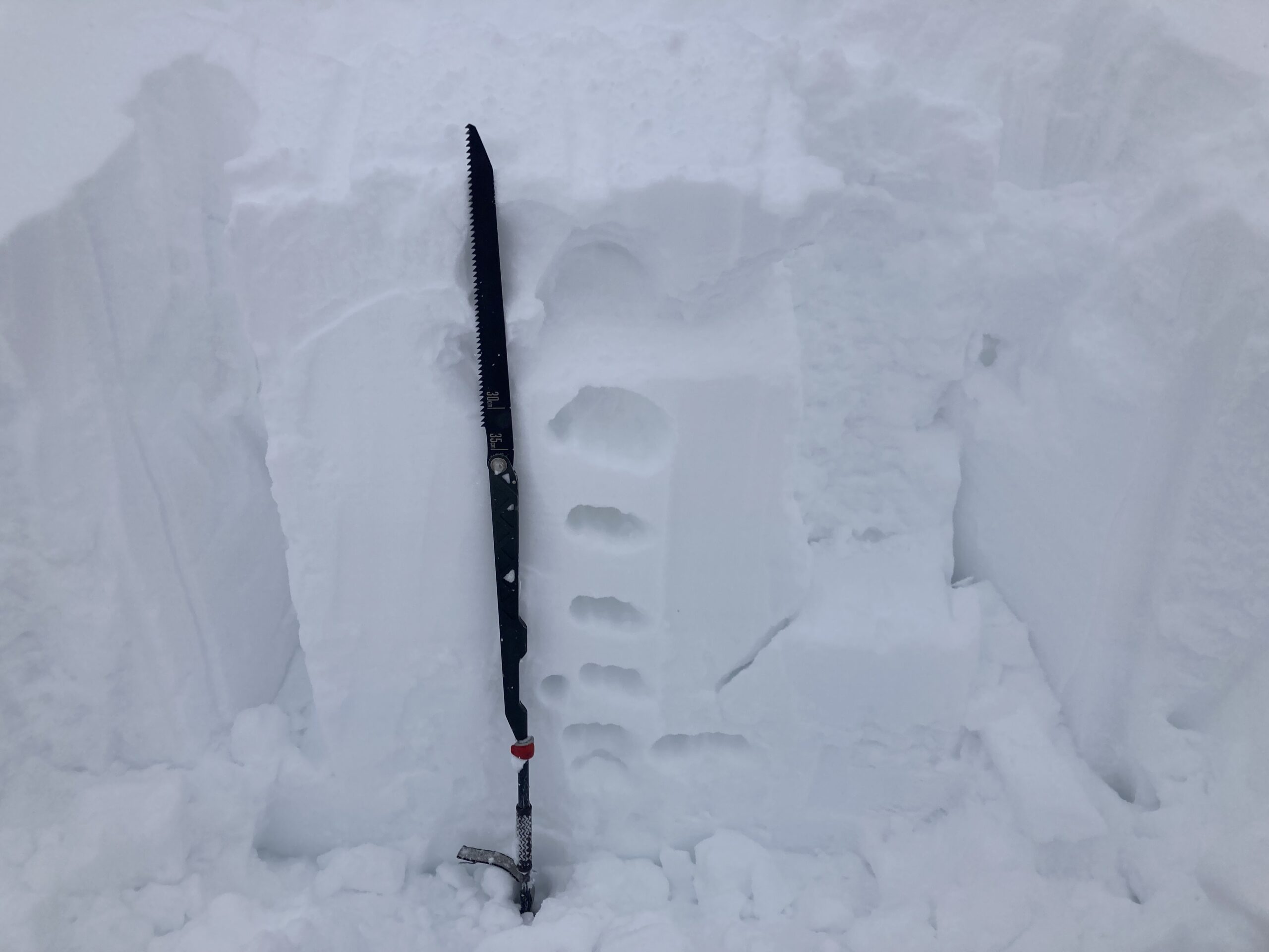
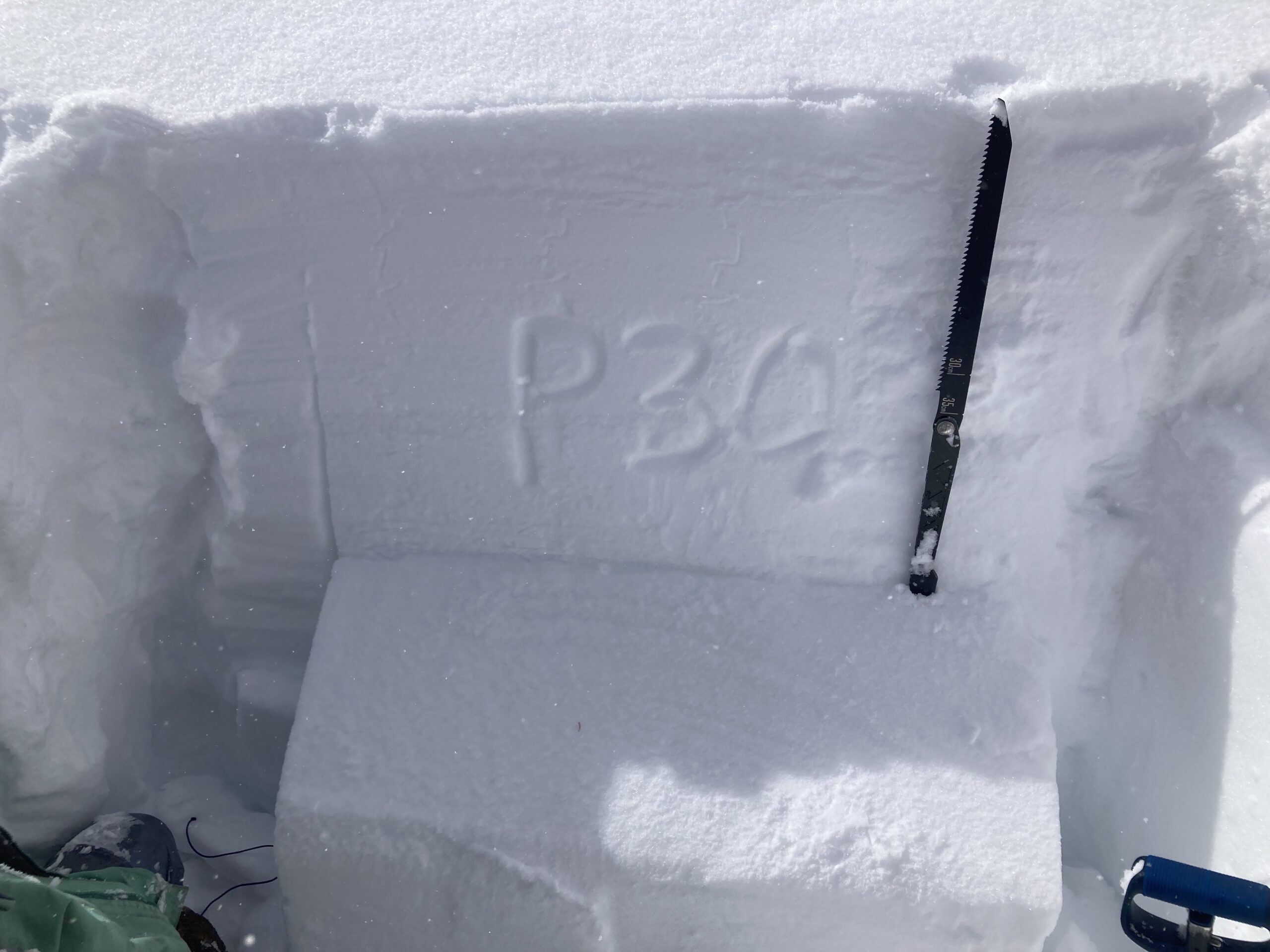
Propagating test result on an east aspect at 11,500′. The layer was a .3mm rounding facet layer (4F), best guess is the late January near surface facets.
-

-
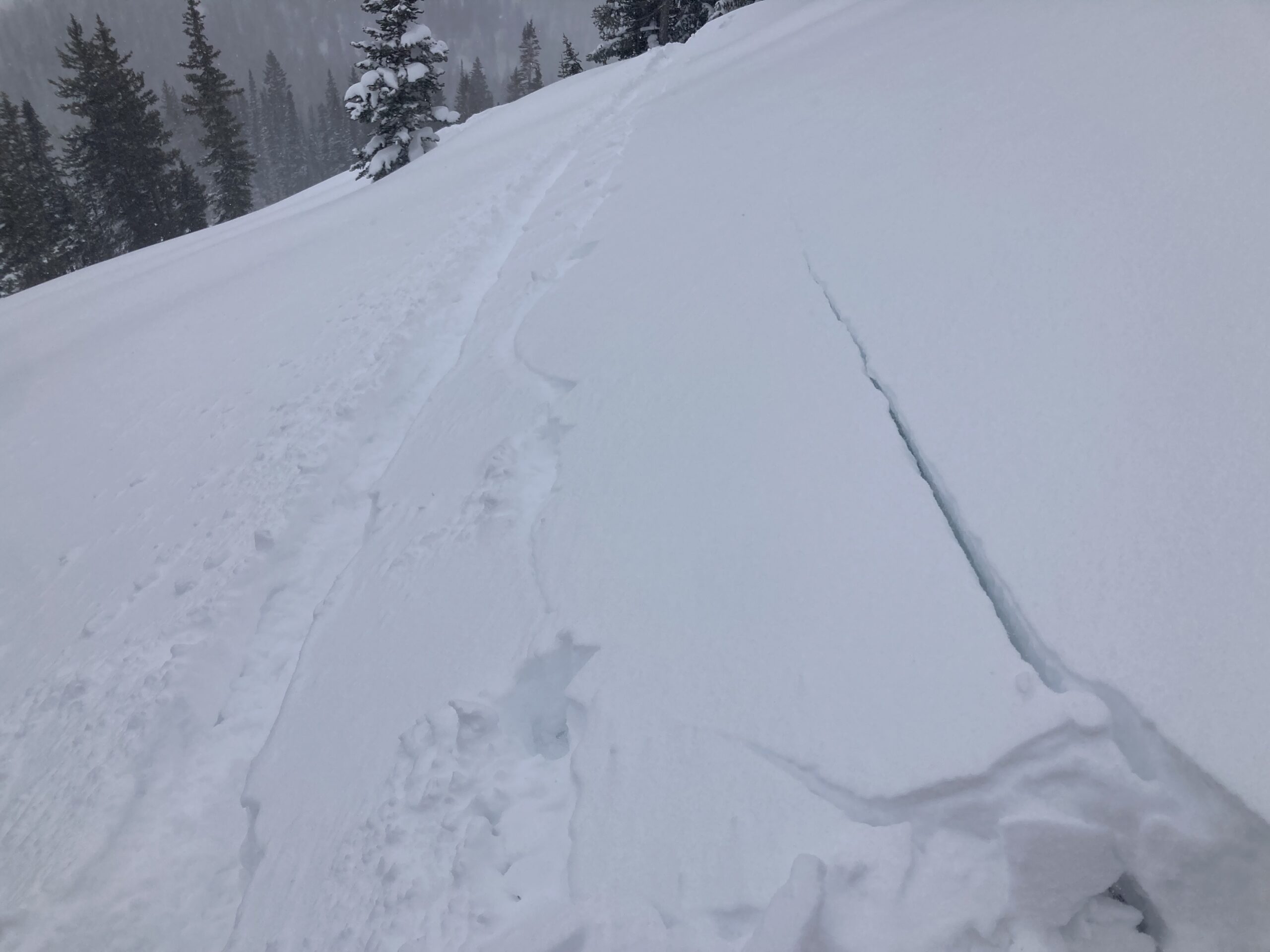
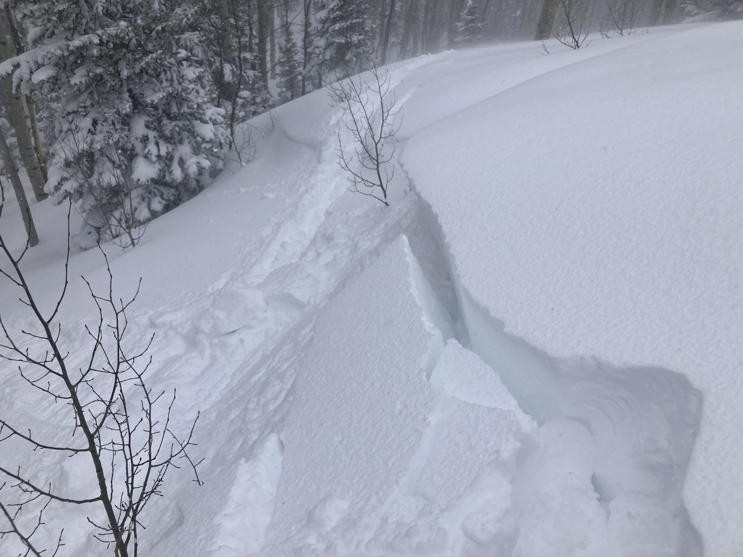
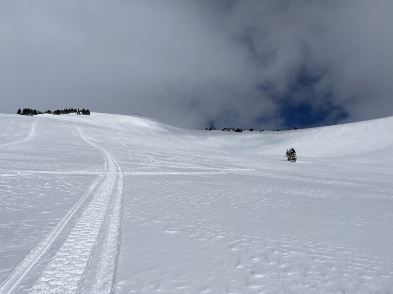
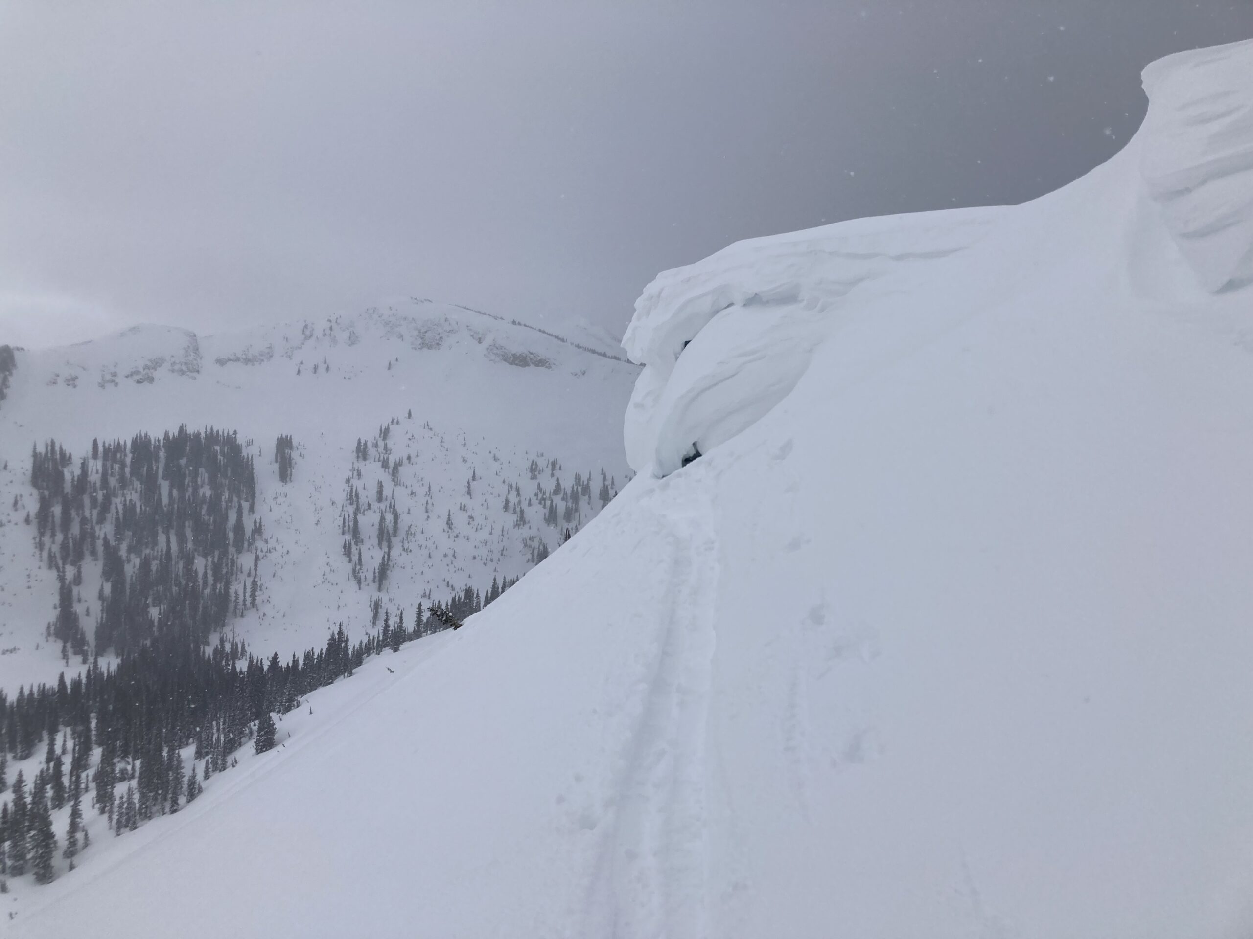
No signs of wind slab formation where we traveled. Just soft, fairly low density snow that could be a short-lived weak layer with the next round of snow and wind.
-

-
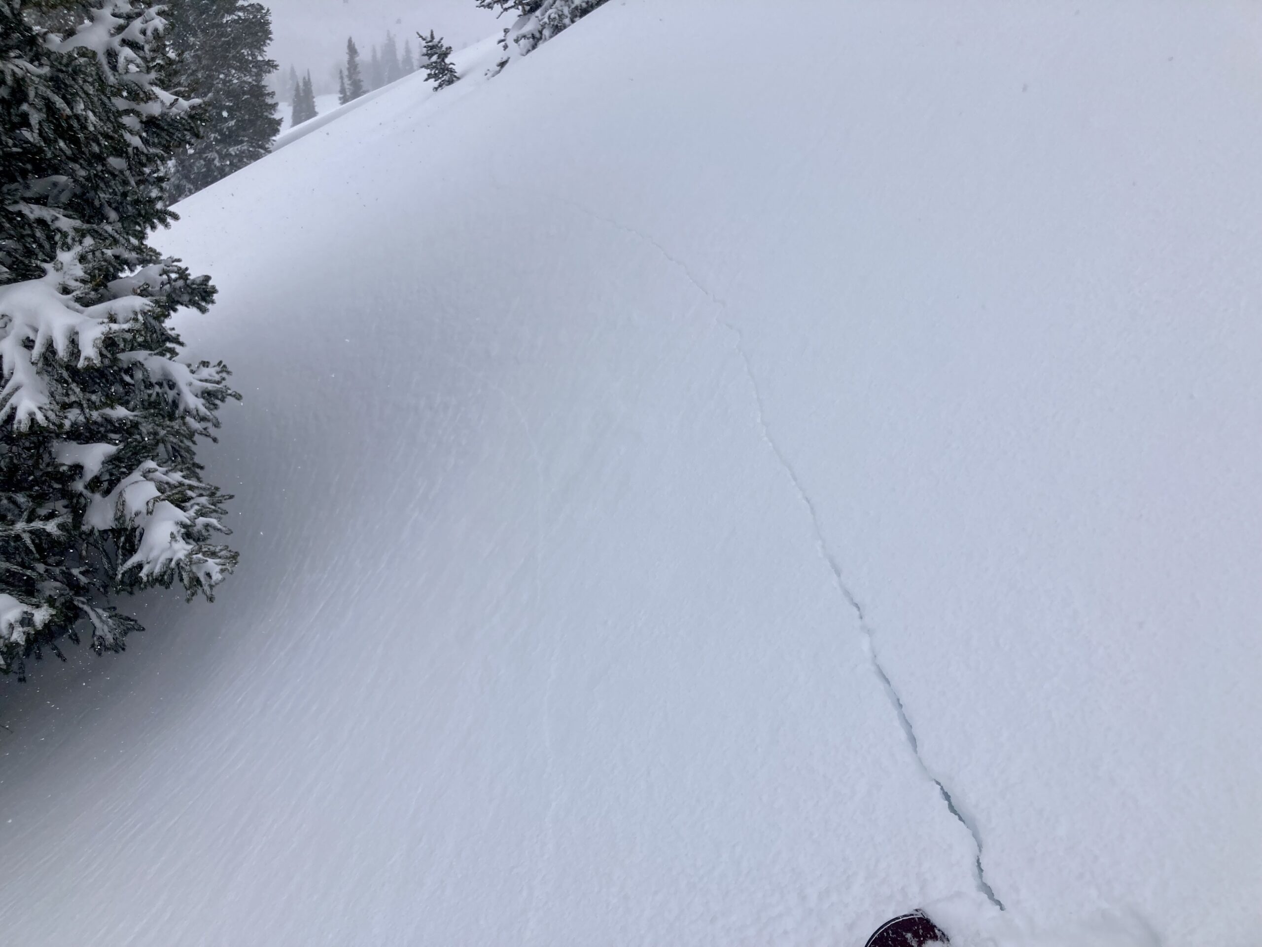
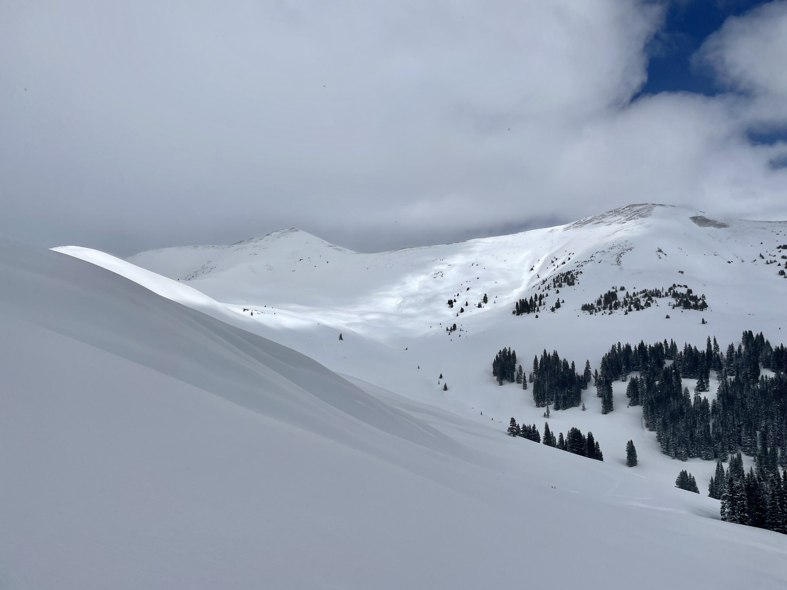
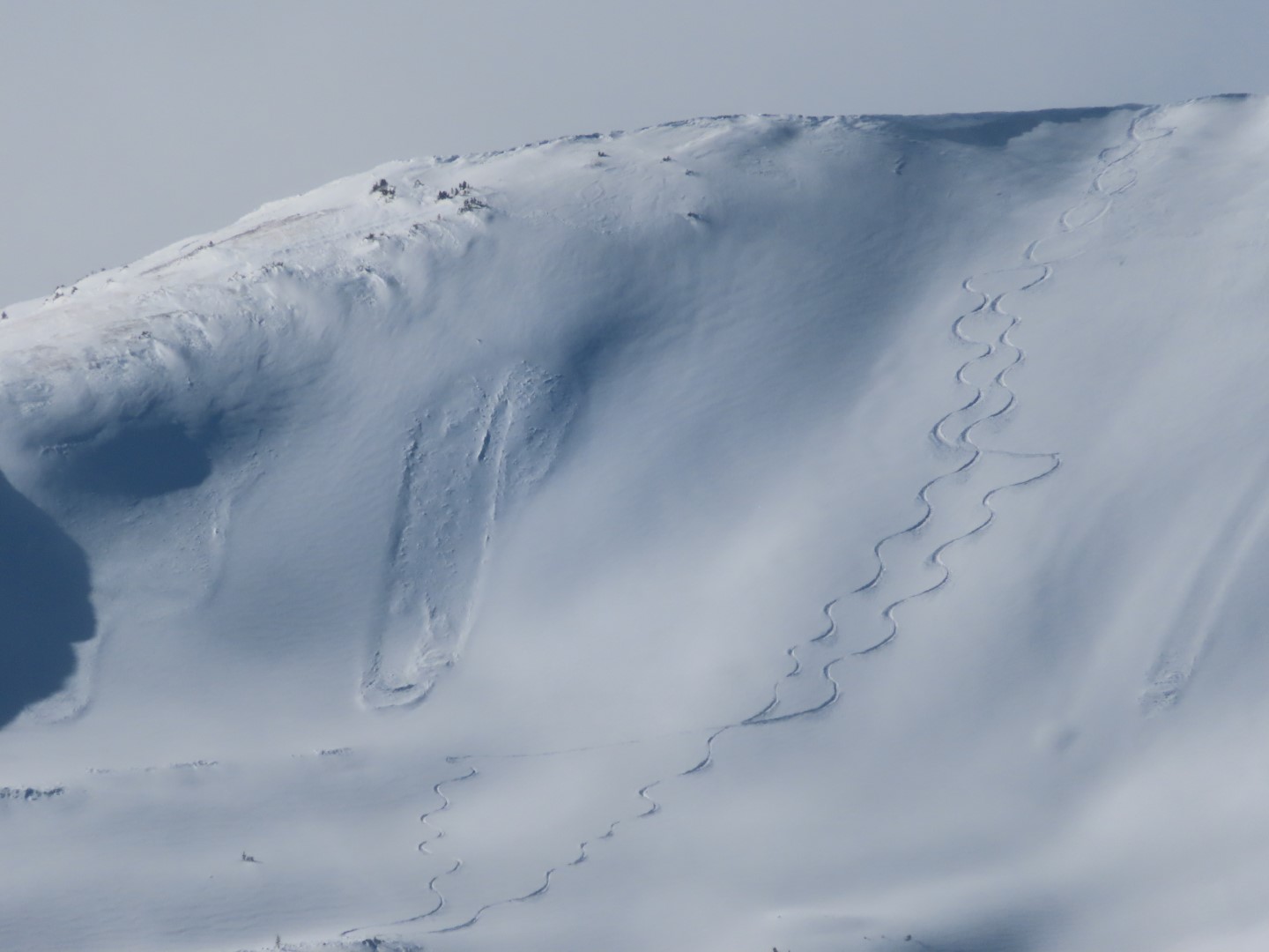
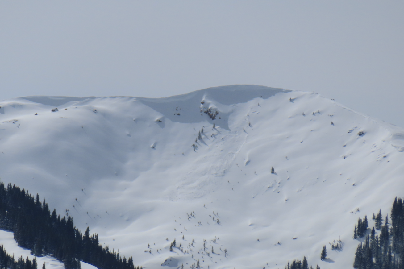
A recent small windslab in Red Lady Bowl
6046