Date of Observation: 03/13/2023
Name: Zach Guy
Zone: Southeast Mountains
Route Description: West Brush Creek. Traveled mostly on east and northeast aspects to 11,600′
Observed avalanche activity: Yes
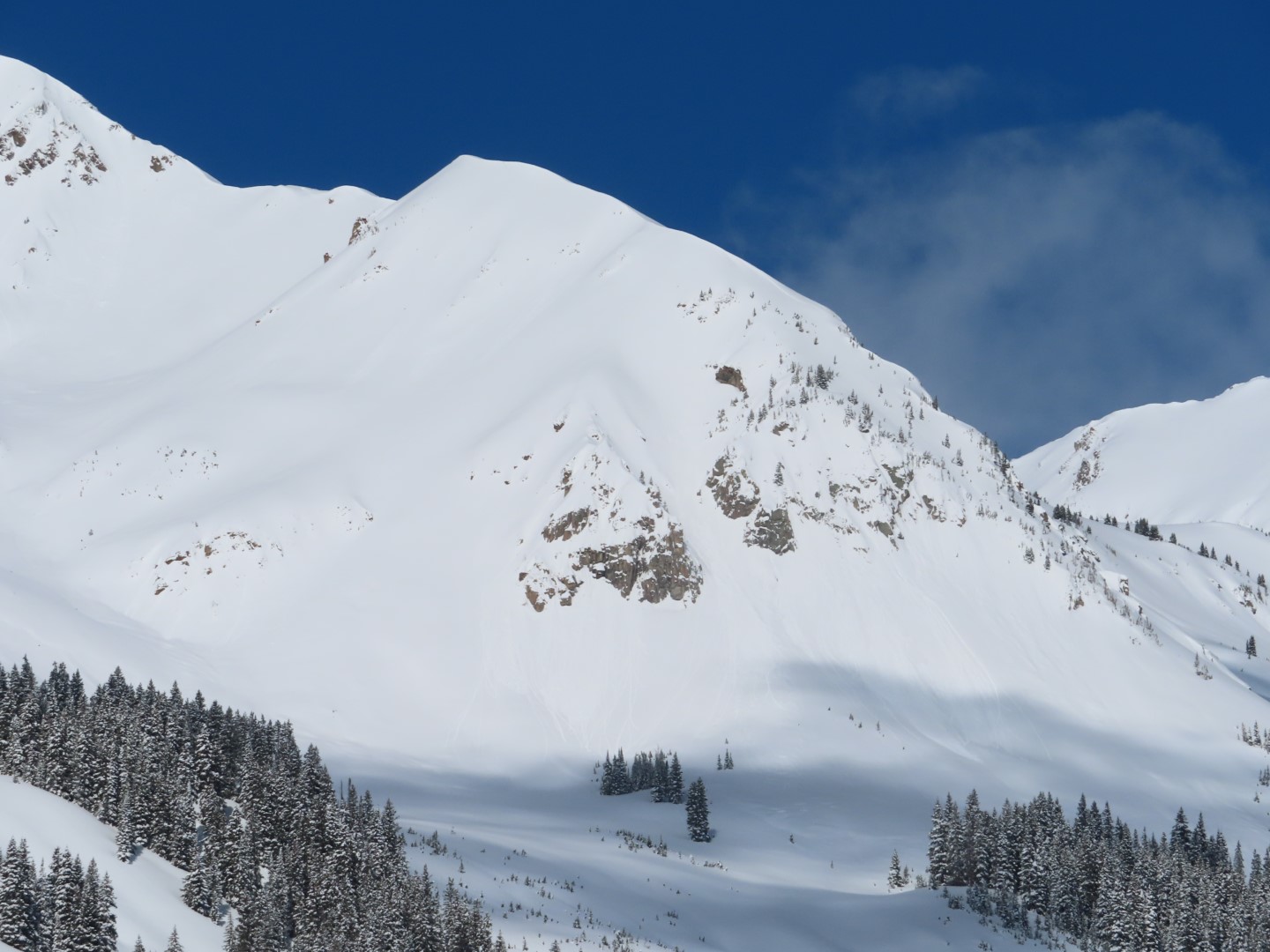
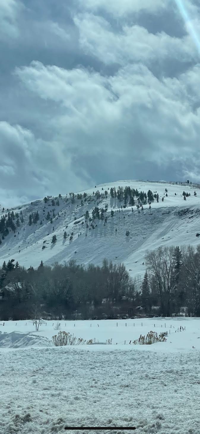
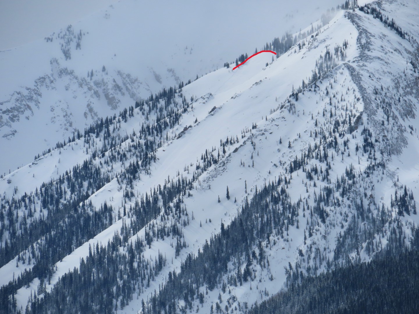
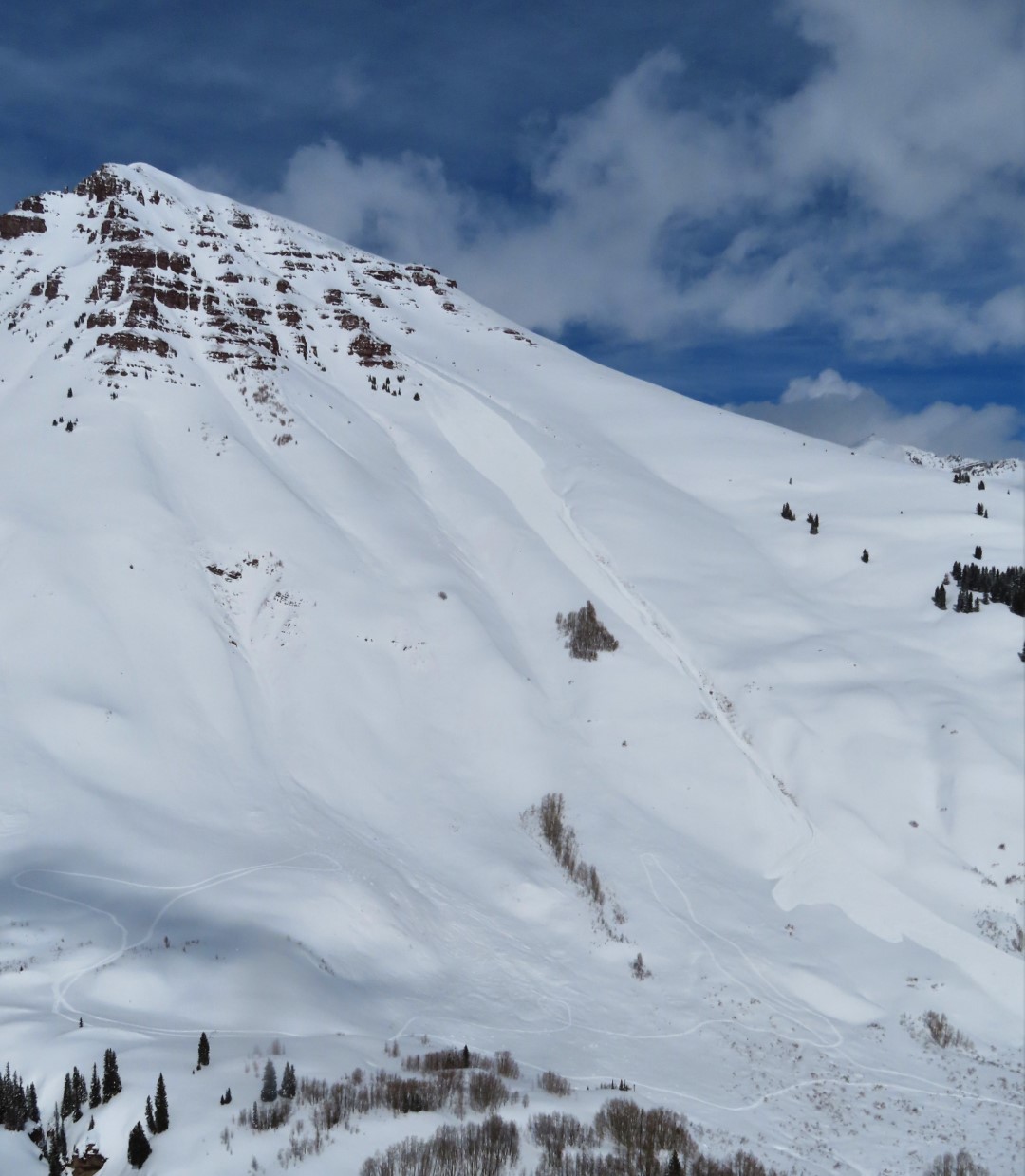
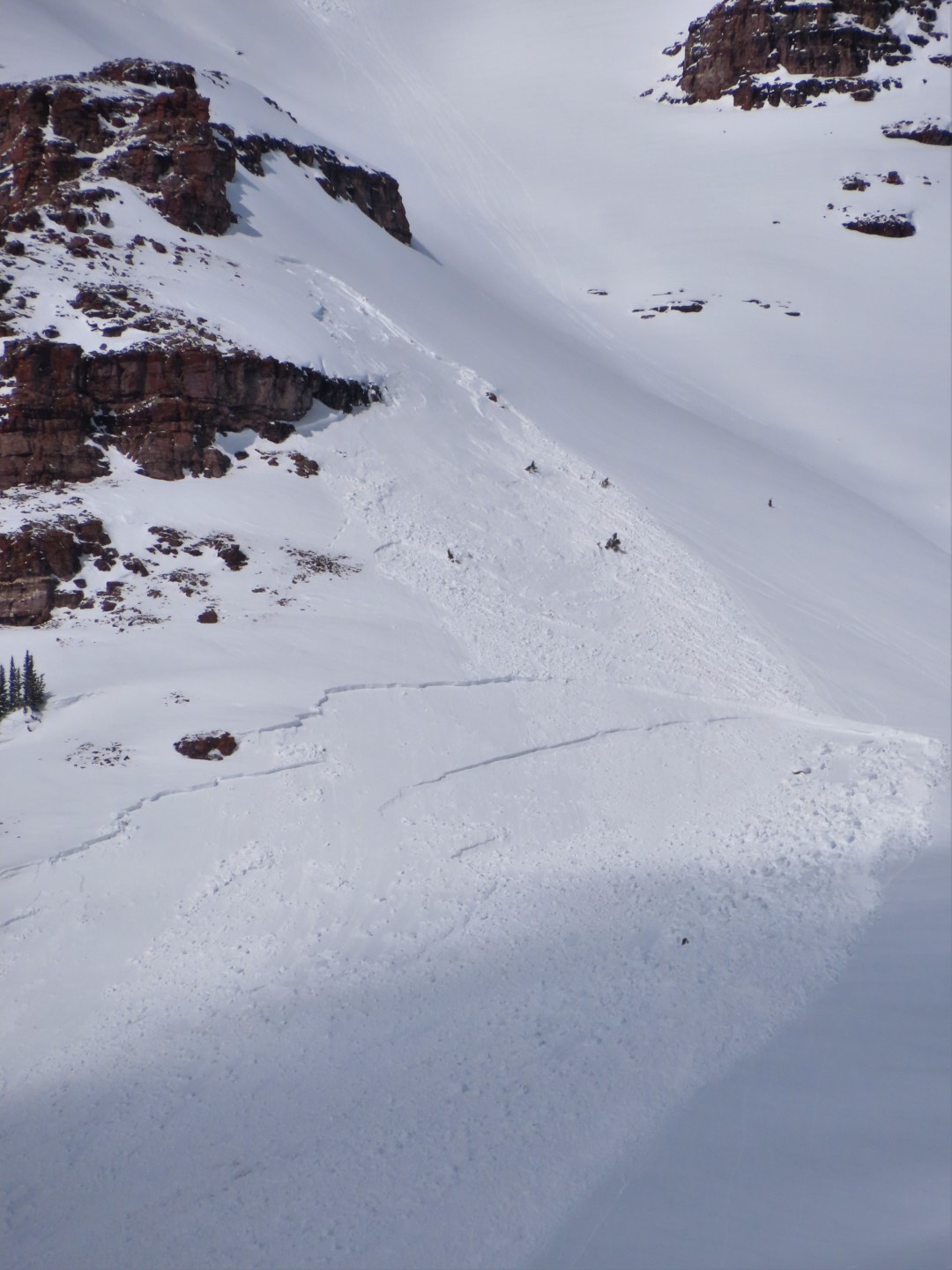
Avalanches: Observed a large storm slab (D2.5) run this afternoon off the south face of Teo. The slab initiated as a relatively small pocket on a southeast aspect and then triggered a much broader, thicker crown on a cross-loaded terrain feature facing south that subsequently ran to valley floor.
Several very small dry loose and wet loose avalanches ran throughout the day.
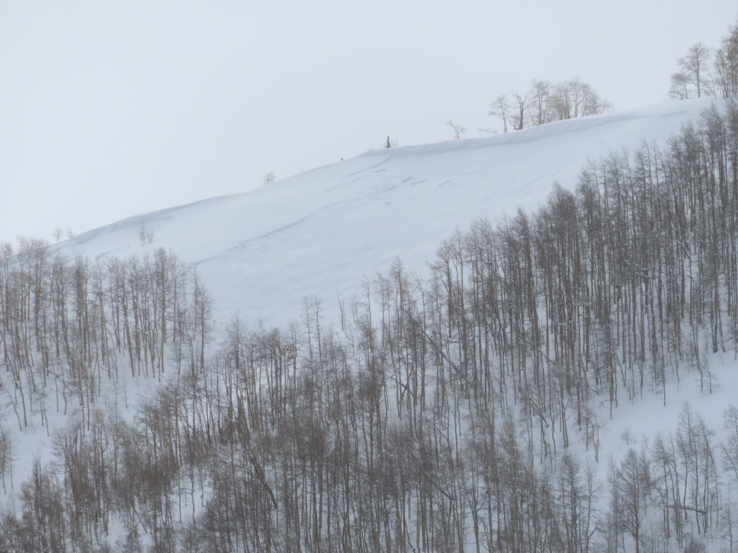
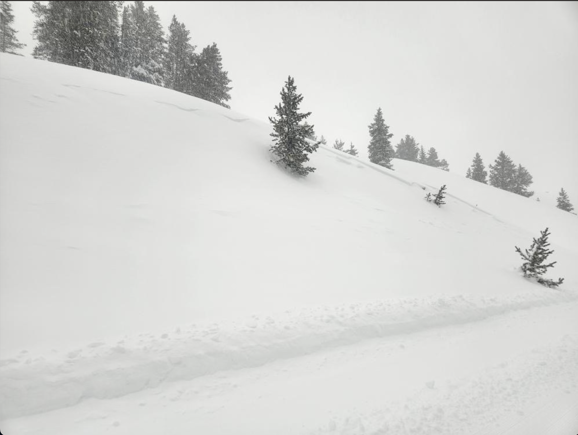
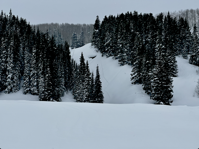
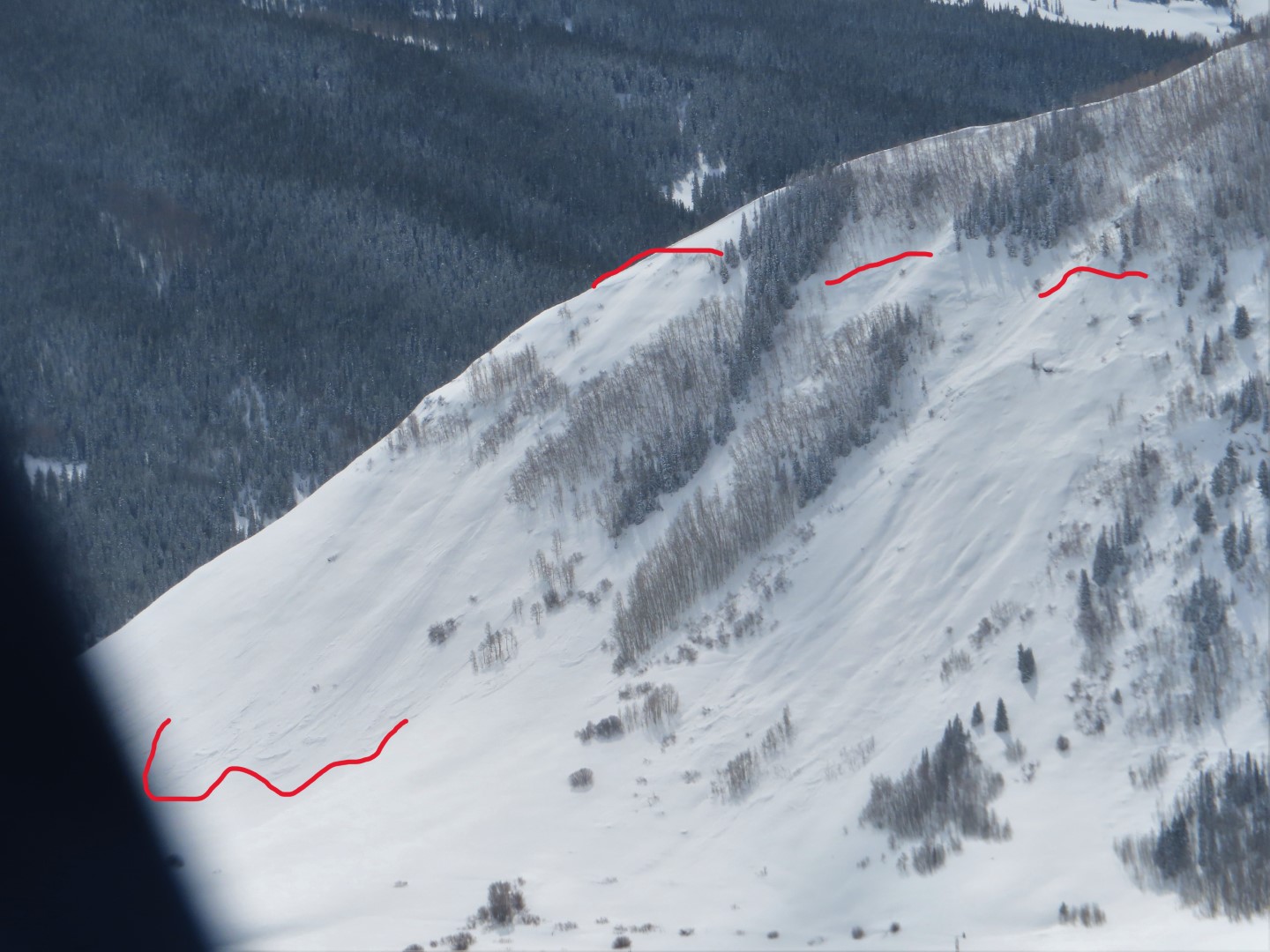
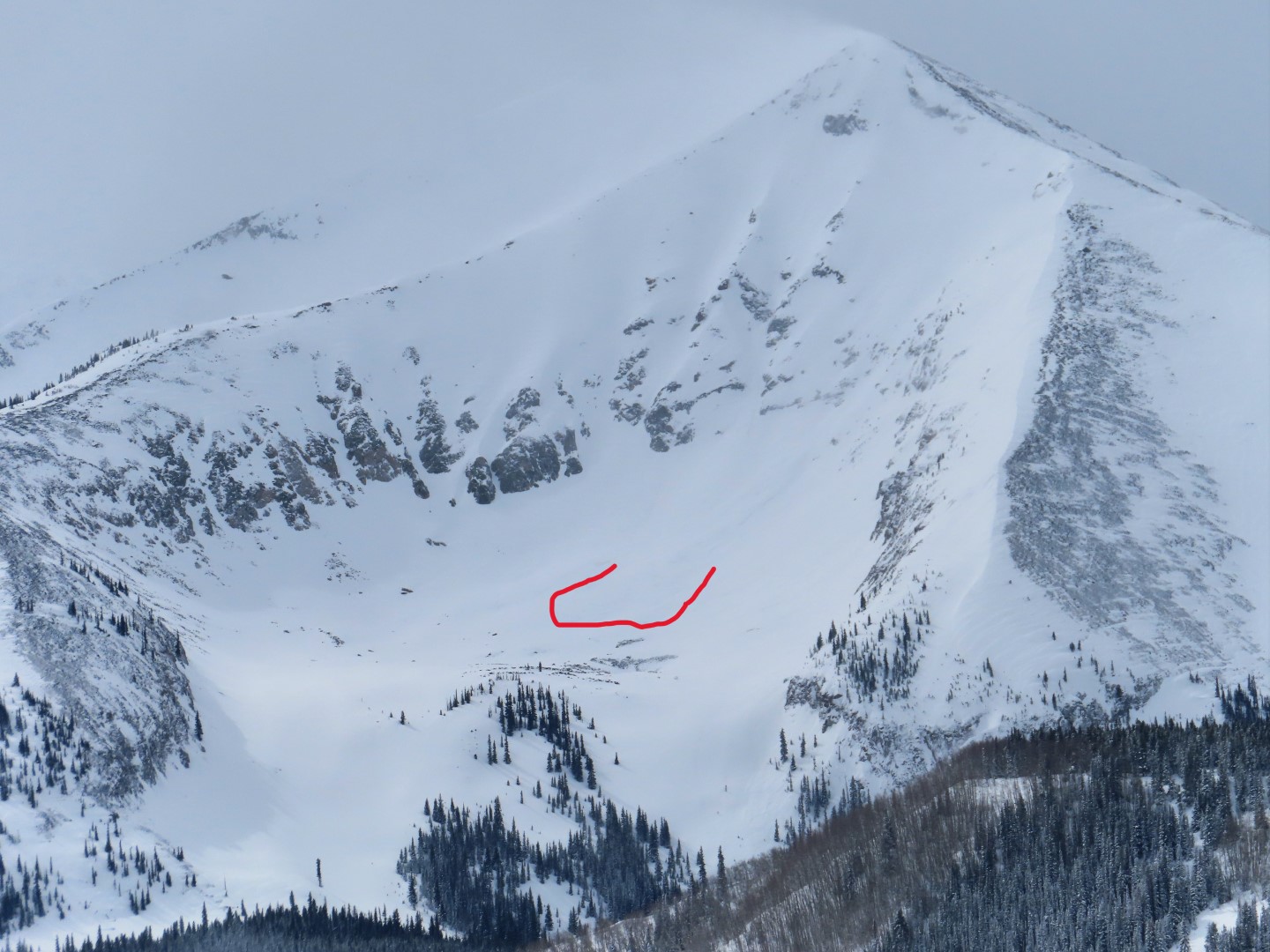
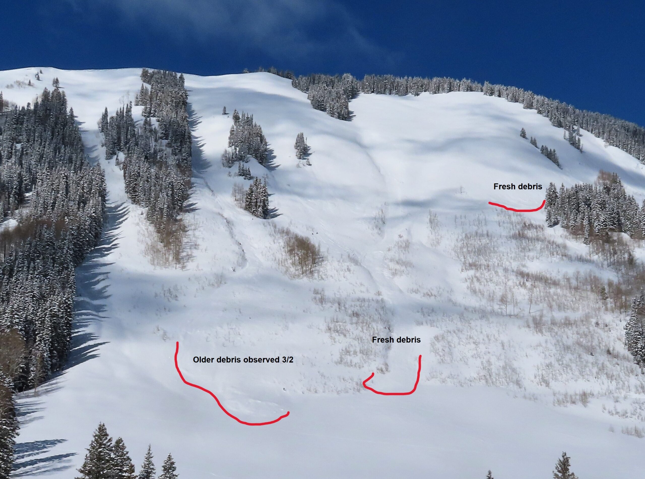
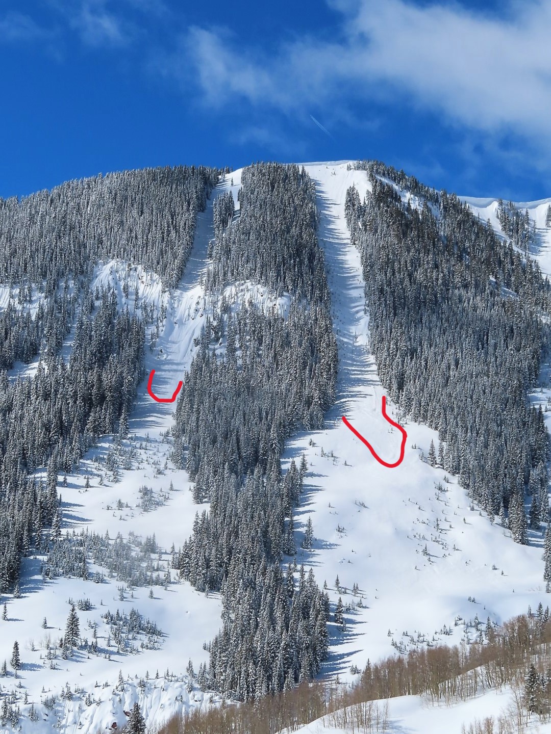
West Brush Creek drainage saw a fairly widespread storm slab cycle, D1-D2, likely Friday night-Saturday morning. Pics show the largest slides, though there were plenty more. In three of the S/SW gullies of Teo, storm slabs stepped down and triggered more destructive persistent slabs, D2.5-D3. The crowns were mostly filled in but I measured debris blocks as thick as 4 feet, pencil hard.
Weather: Few to scattered skies through mid-afternoon. Mild temps. Calm winds.
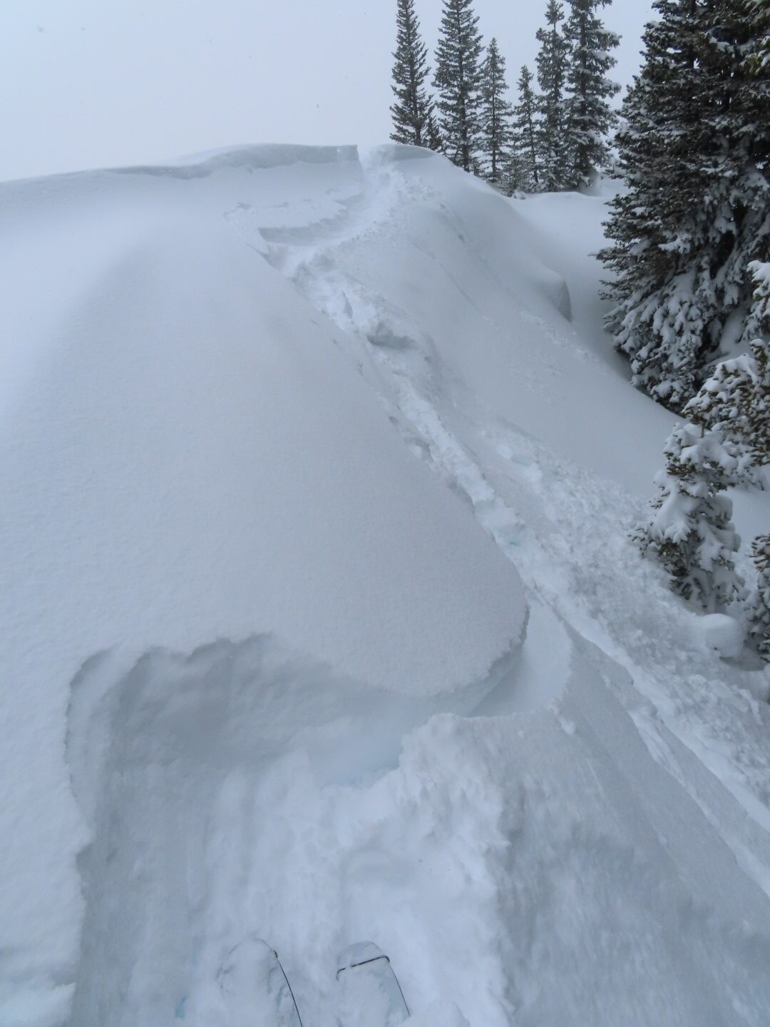
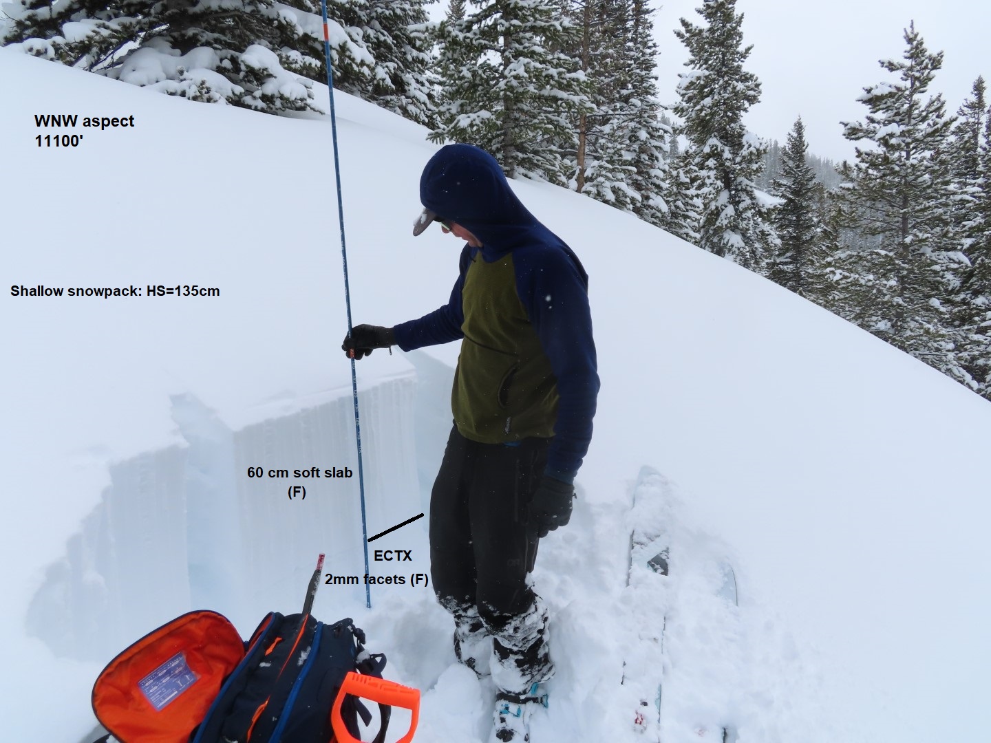
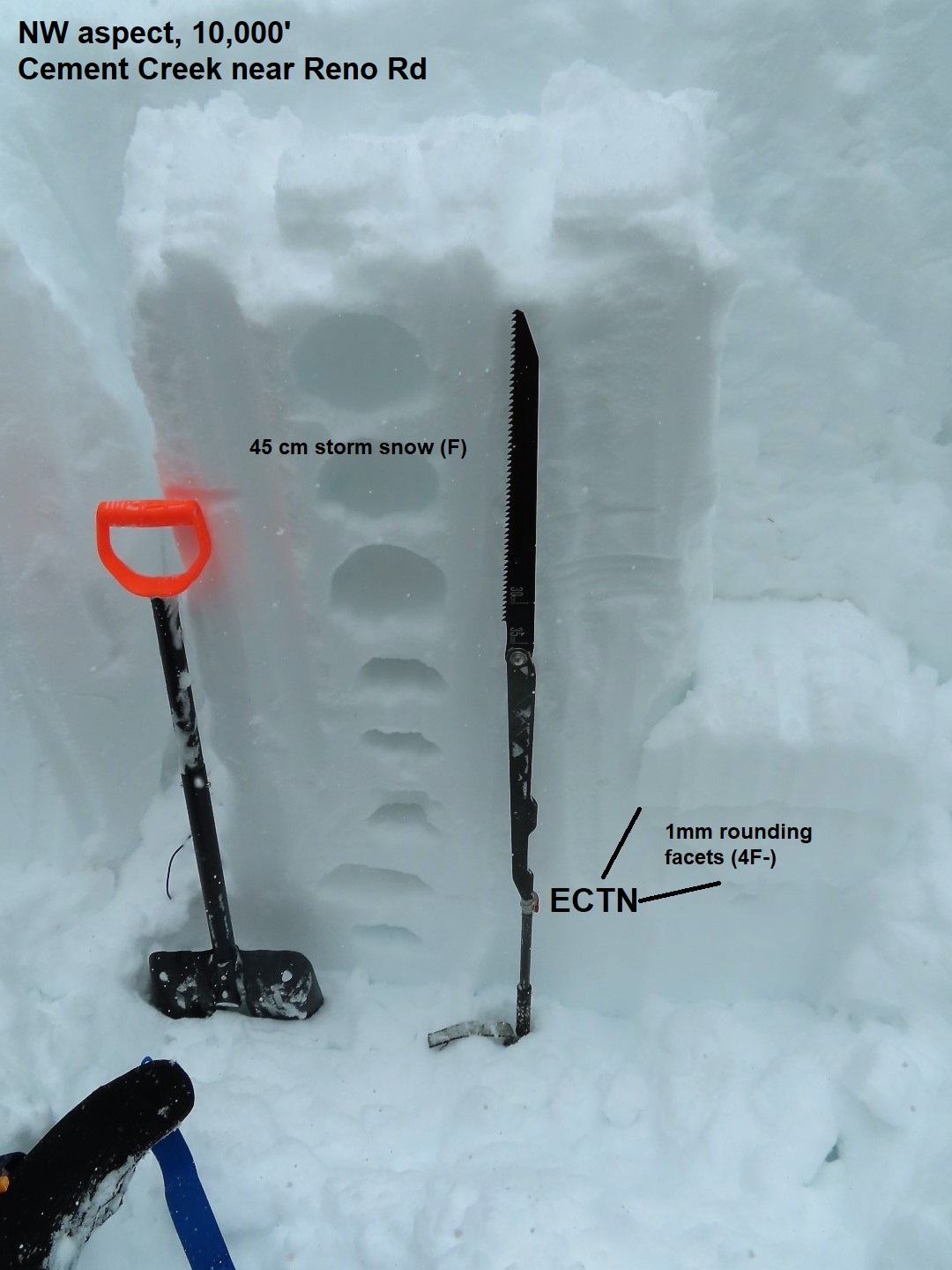
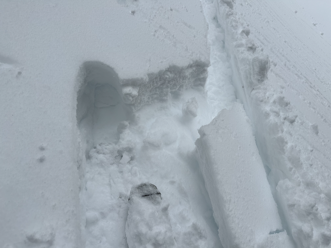
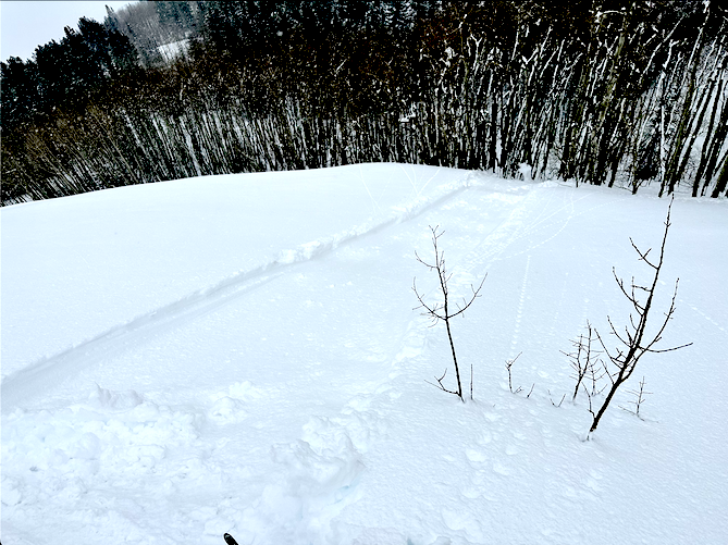
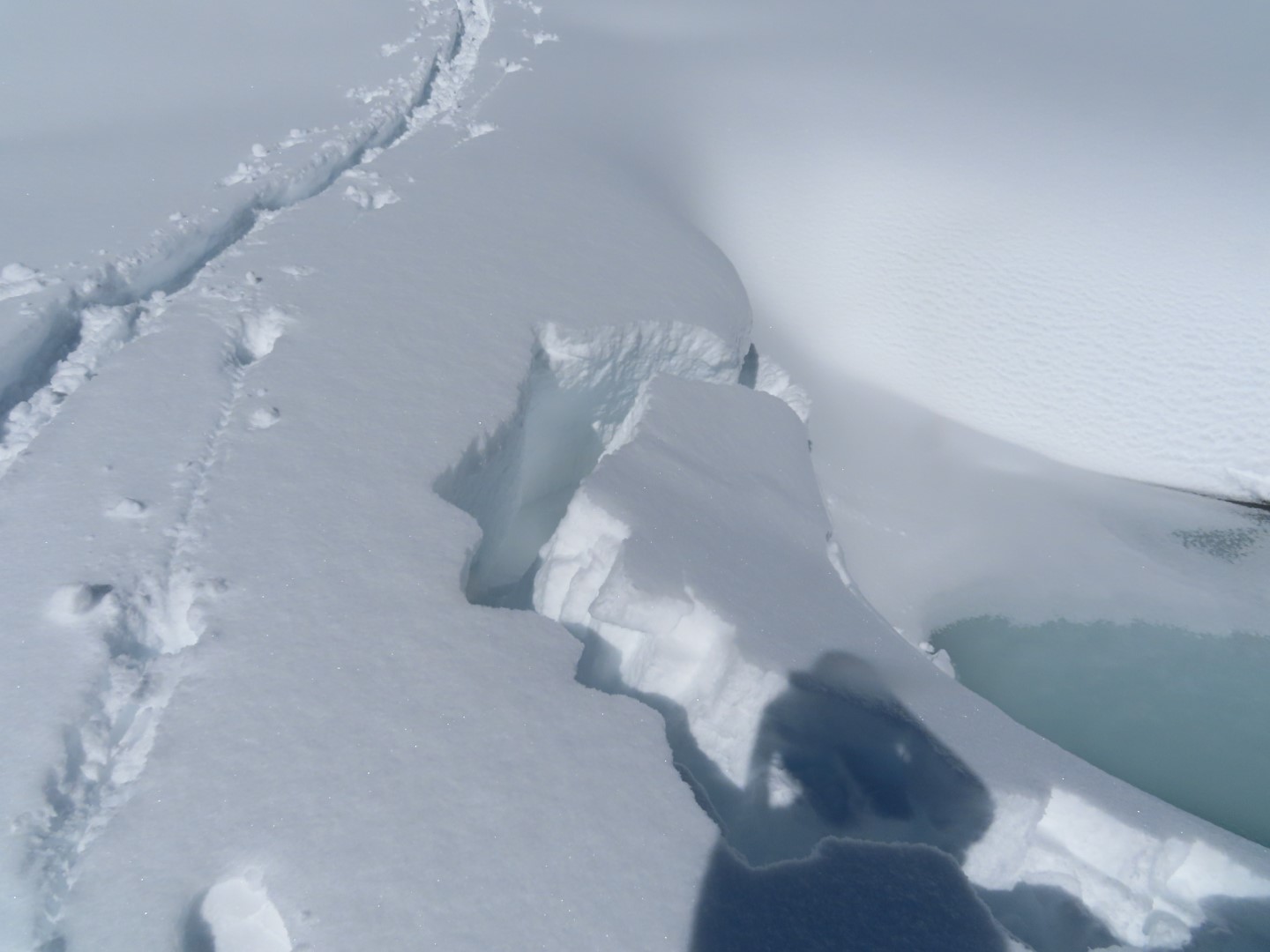
Snowpack: I didn’t measure storm snow totals, but they seemed on par with other areas, in the 2-foot range. Snow surfaces became moist to wet on everything without a northerly tilt, producing a few rollerballs and minor sluffs. We skied on several steep, shady slopes with no signs of instability. However, we did get a creek bed to calve off about 3-feet deep on a facet layer at valley bottom.
-

- Several persistent slabs (with hard slab debris) came out of the S/SW gullies on Teo during the storm.
-

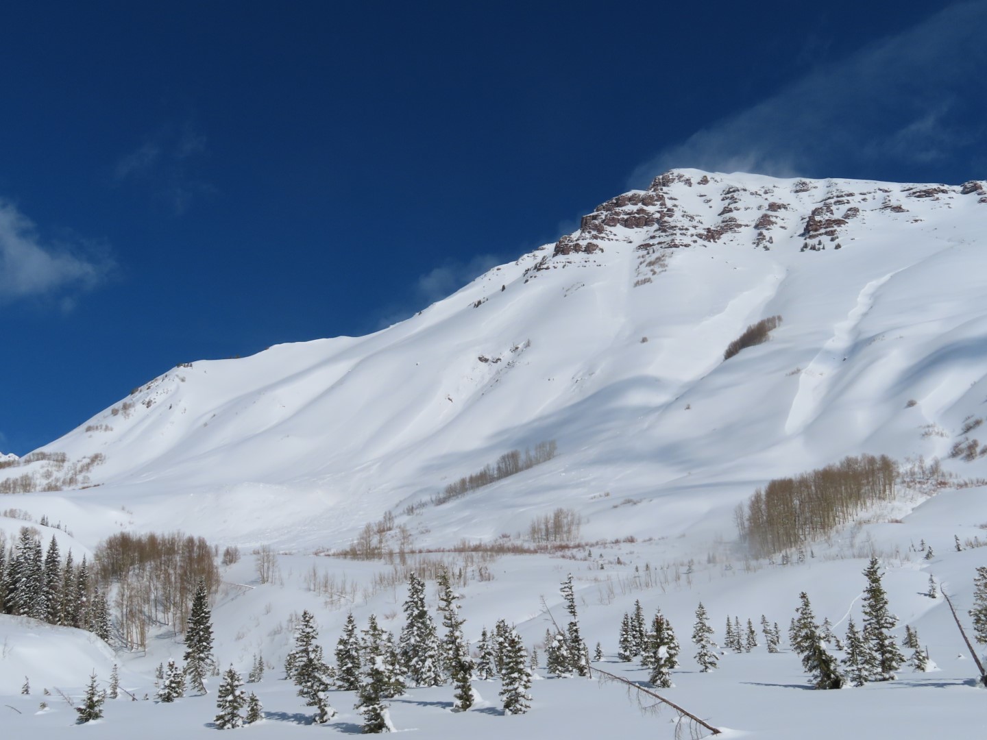
- Looking up at the debris from the largest persistent slab, D3 in size.
-

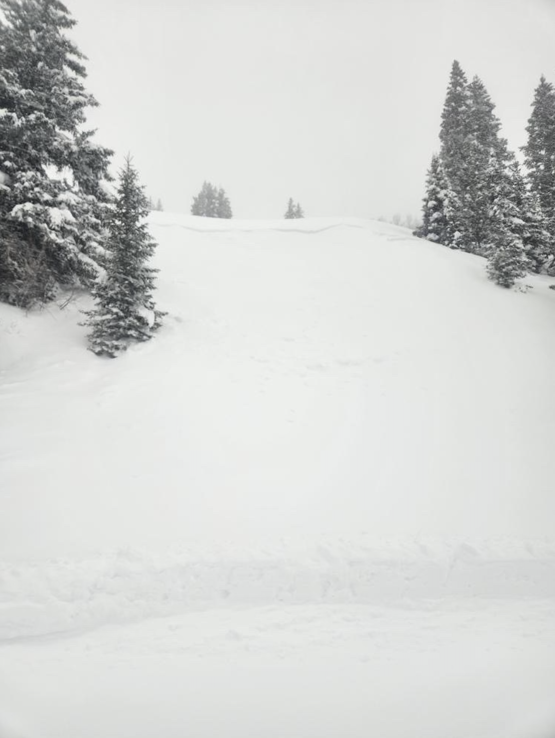
- A large storm slab ran this afternoon on Teo.
-

- A closeup of the crown of today’s natural.
-

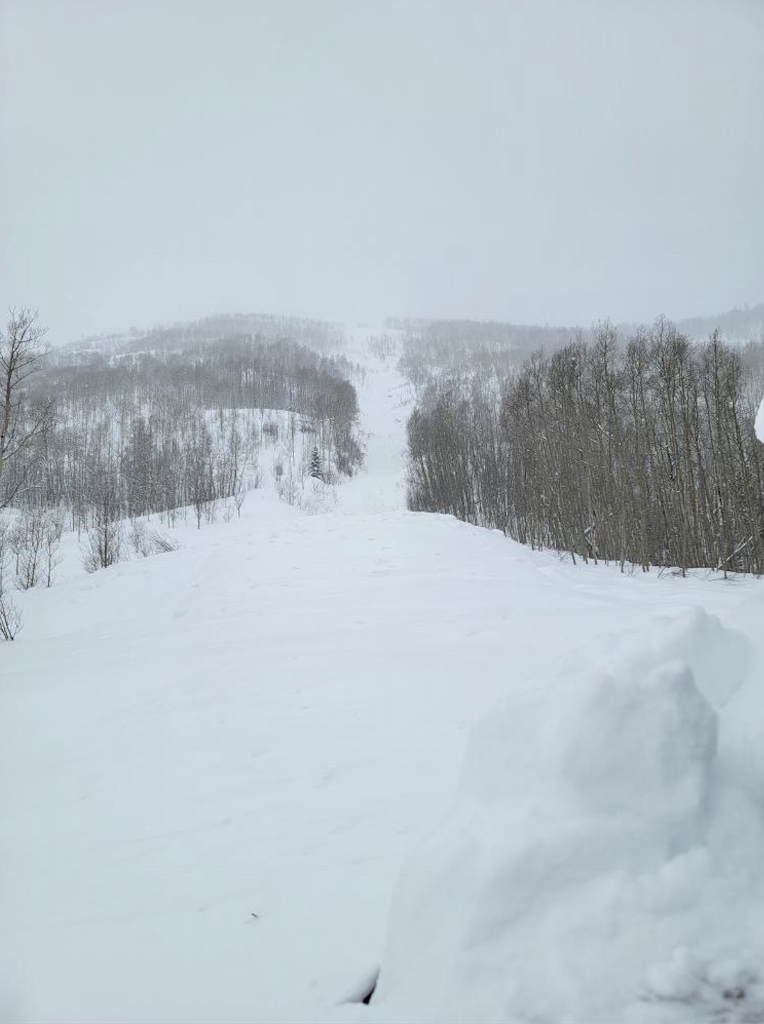
- Looking up at the crown of a storm slab that likely ran on Saturday morning.
-

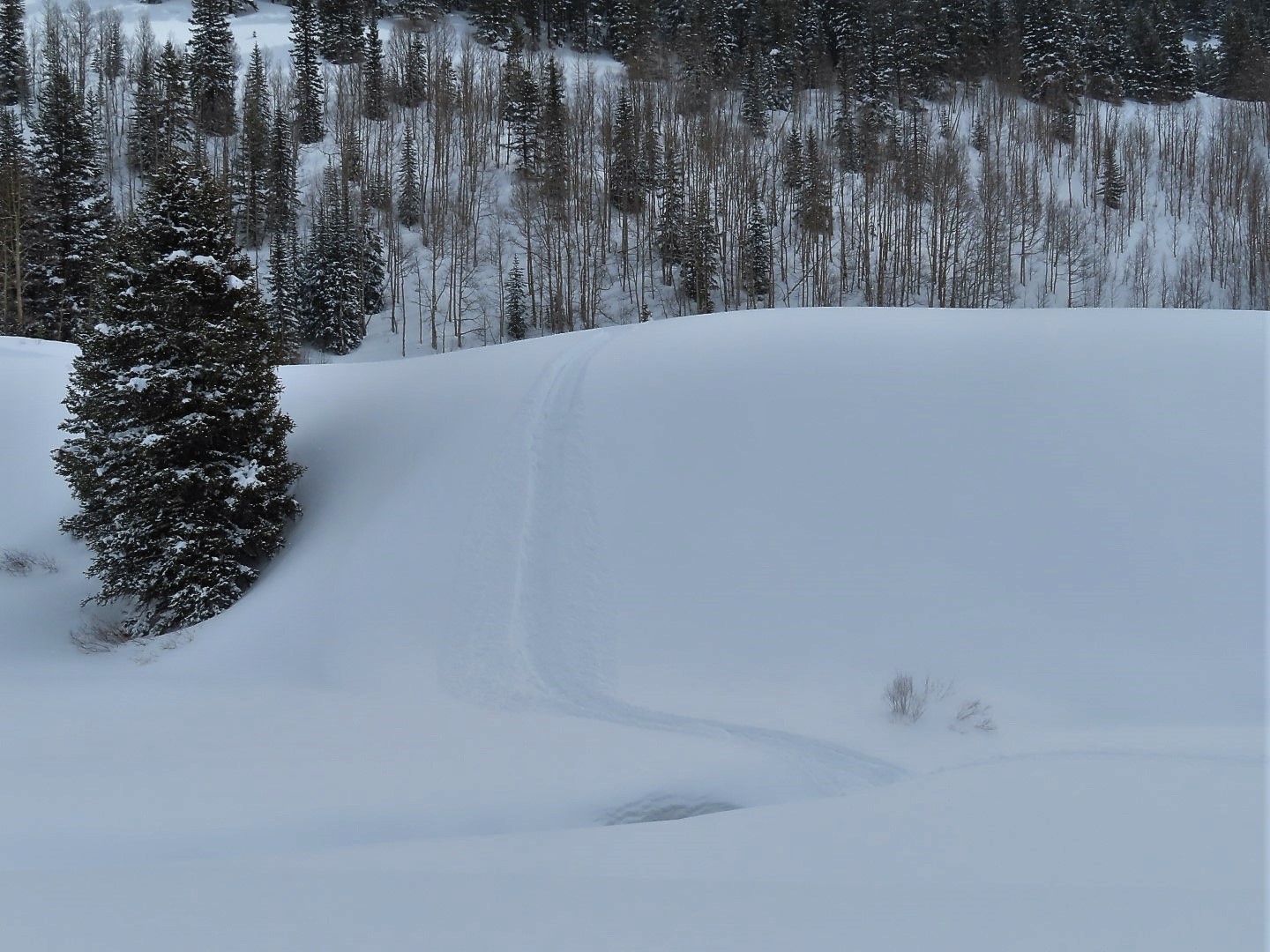
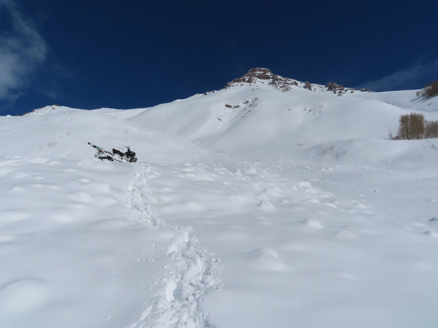
- The only sign of instability underfoot was this slab that calved off into the creek, failing 3 feet deep on facets.
-

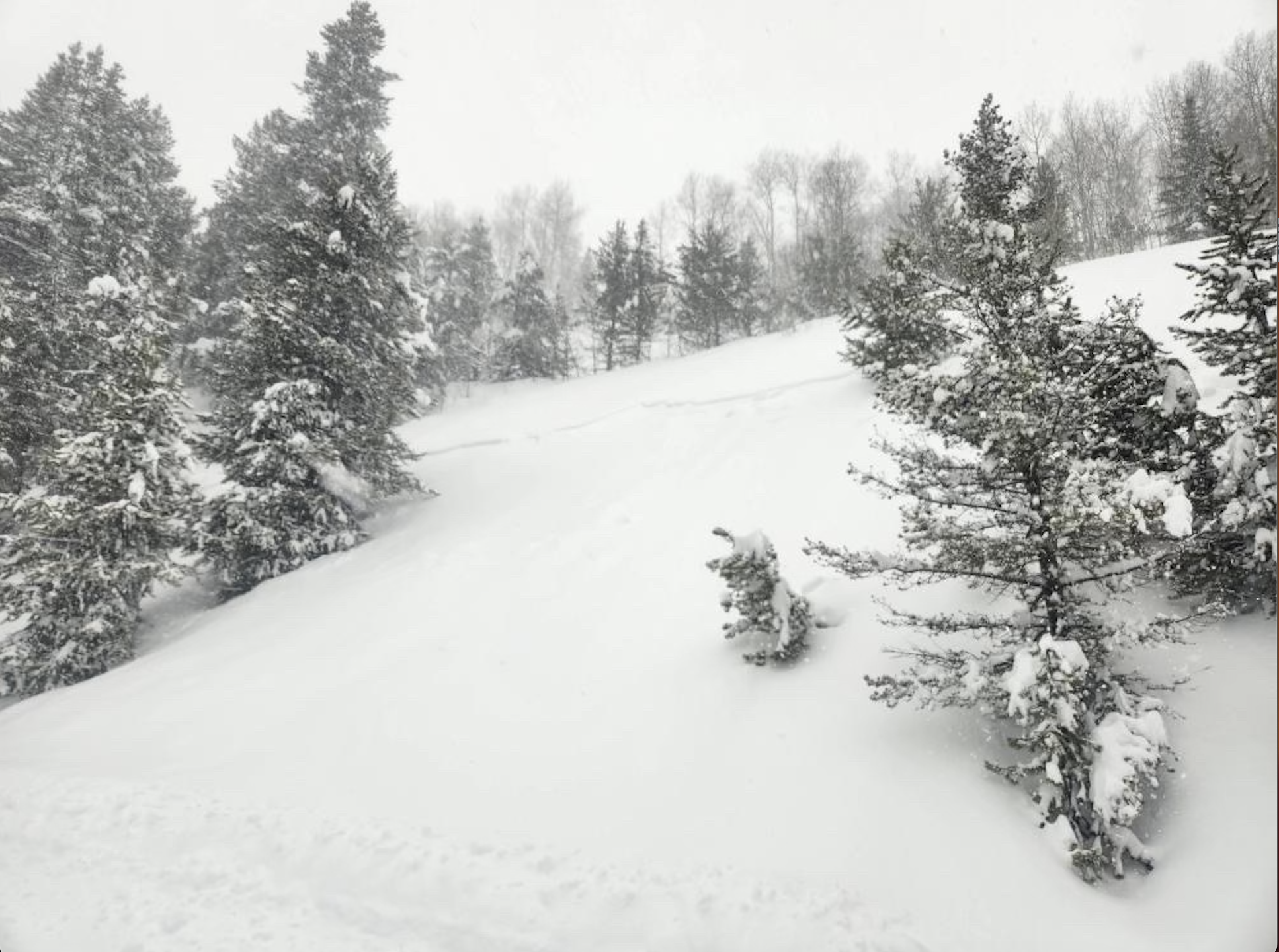
- Storm slab debris below Union Chutes
-

- Storm slab debris below Coyote Chutes.
-

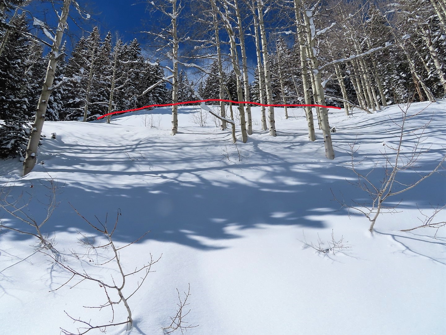
- Small sluffs from solar warming today.