Date of Observation: 03/16/2023
Name: Evan Ross
Zone: Northwest Mountains
Route Description: Mt Axtell and Evans Basin. N-E-S 9,500ft to 11,600ft.
Observed avalanche activity: Yes
Avalanches: A variety of old storm slabs and loose snow avalanches that were no longer sharp looking.
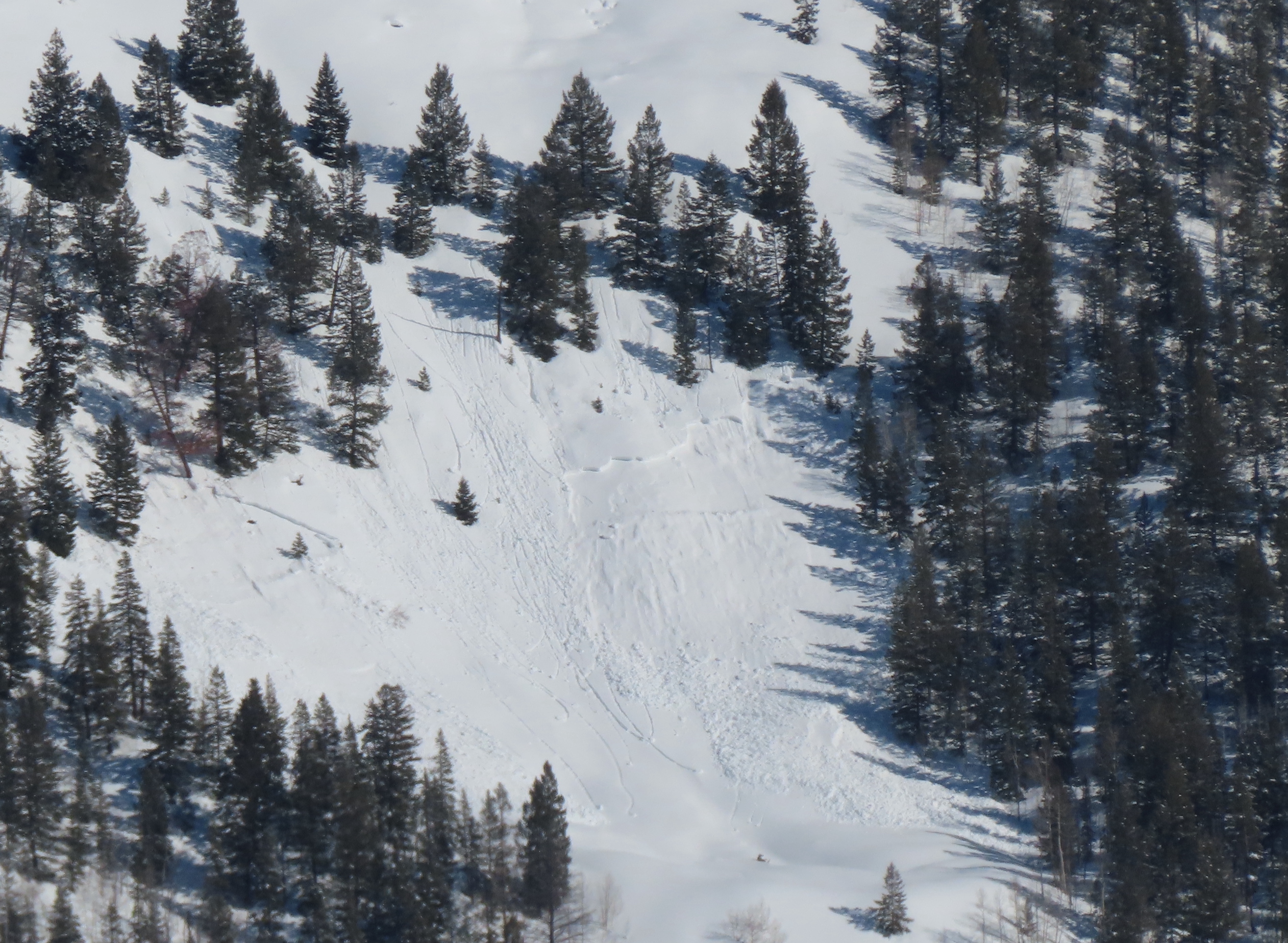
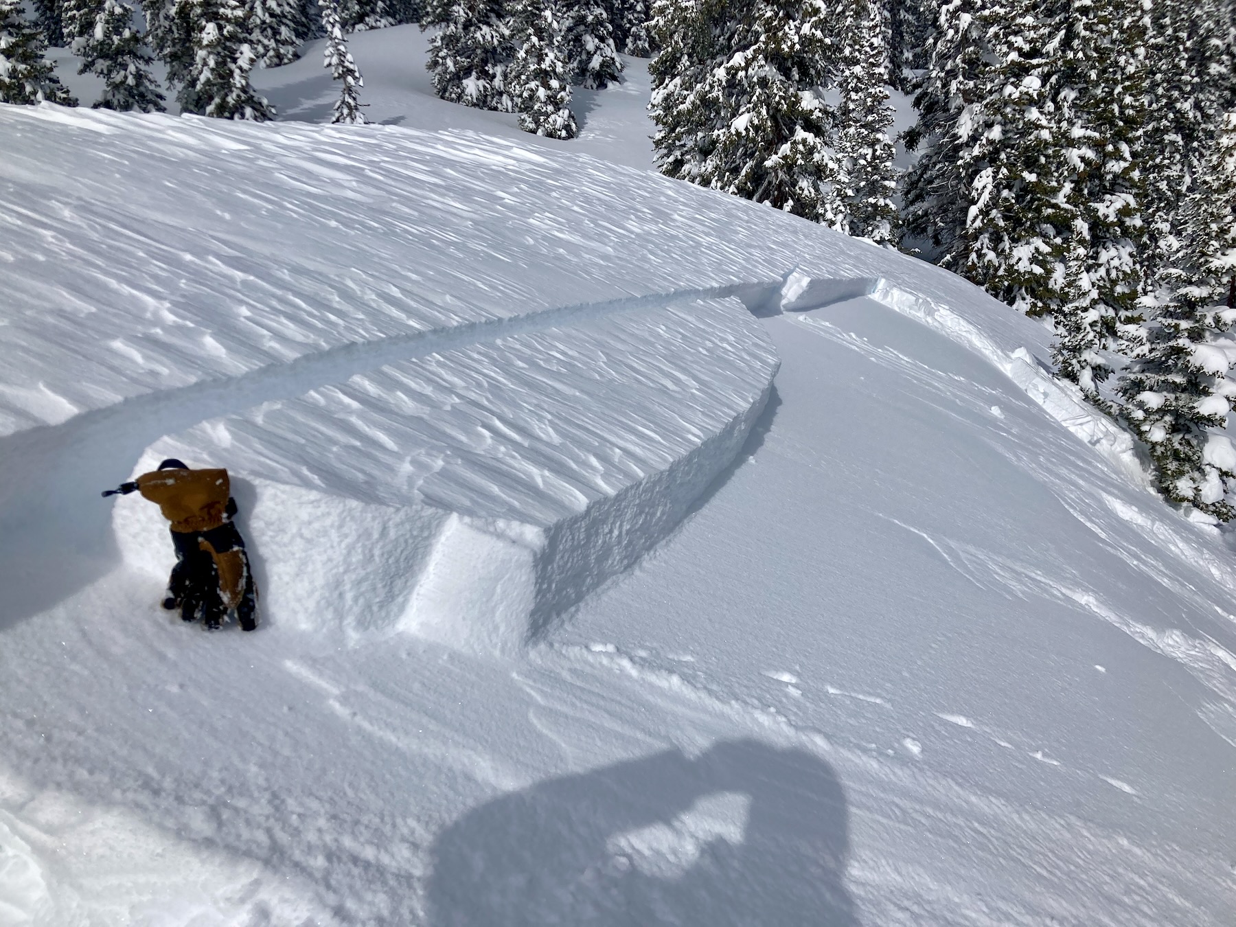
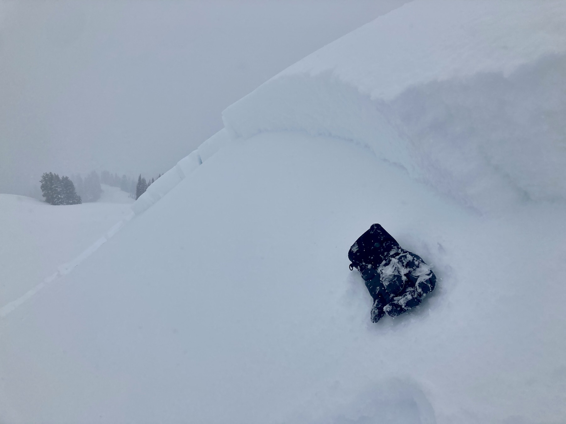
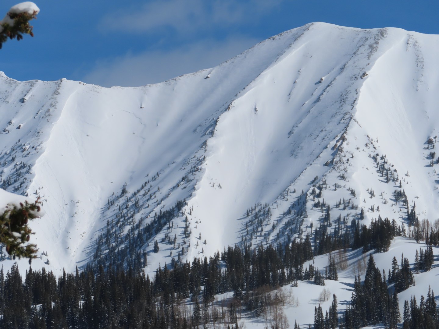
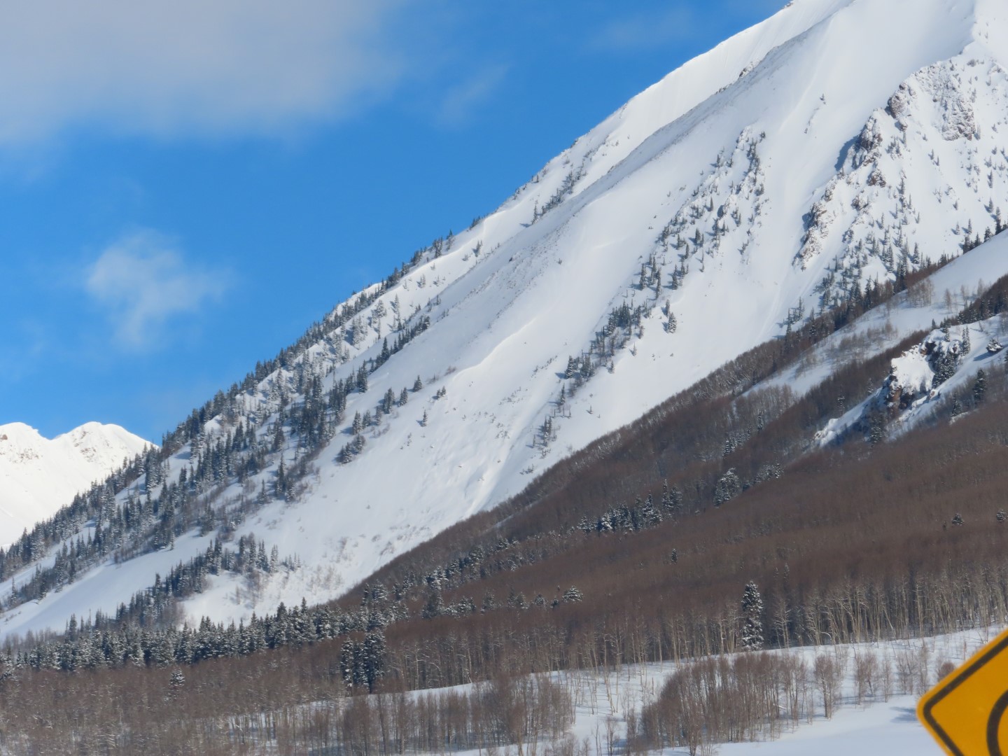
East on Mt Axtell: Skier triggered 3 storm slabs. 2 small slabs were triggered on steep, unsupported pillows and didn’t have much propagation. The most notable propagated fairly wide on another steep east-facing slope at 11,300ft. The slab was about 30cm deep, and the avalanche became large in size. These slabs released on very small facets sitting on the 3/15 interface.
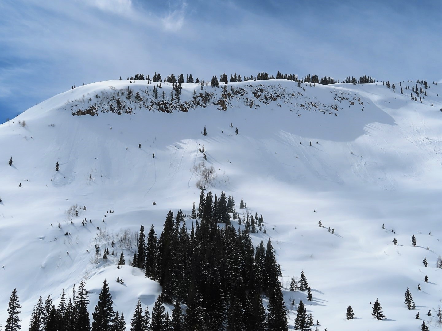
East in Evans Basin. Snowmobile triggered 2 small, stubborn, wind slabs that ran within the new snow, and not at the old snow interface like on Axtell.
Several small loose wet avalanches ran today in Evans Basin on E and SE slopes at NTL and ATL elevations.
Weather: Parly cloudy sky. Mostly light to calm winds. Previous transport from stronger winds in the lower Kebler corridor.
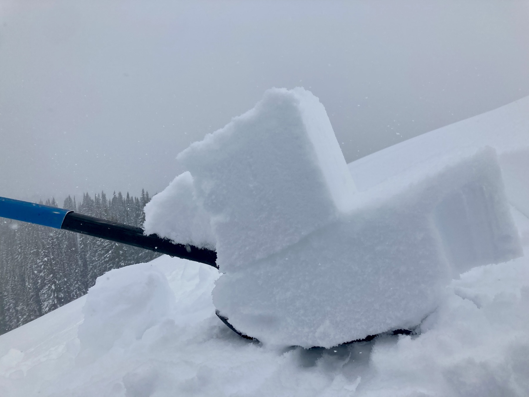
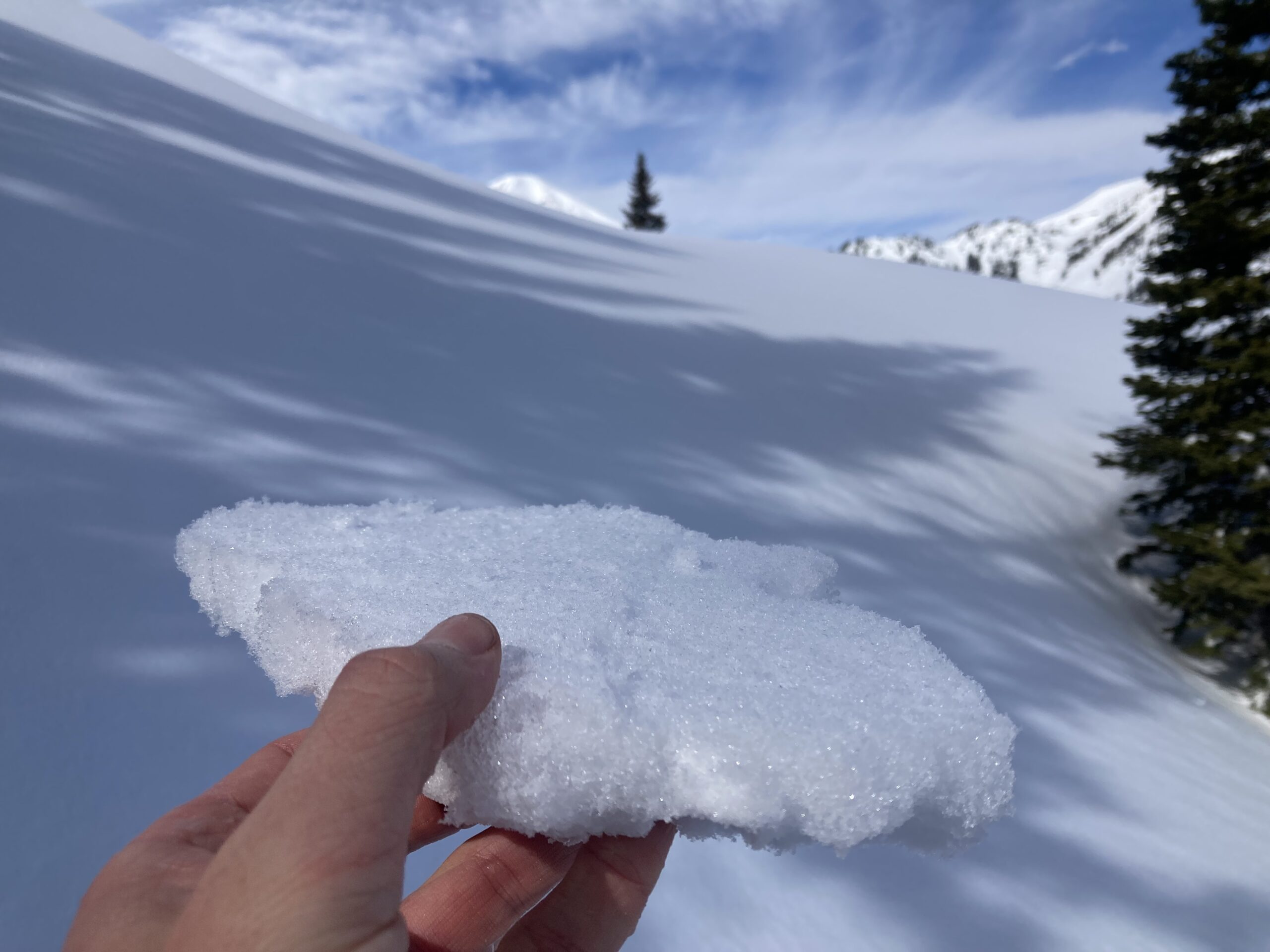
Snowpack: The Recent HST is in the range of 15 to 35cm depending on how much settlement it has seen. Similar to yesterday, east aspects produced the most notable results today, with a few soft slabs failing on the recent storm interface. They have been running on small facets above the 3/15 crust. We triggered 3 slabs on this interface. A couple ran on steep and unsupported pillows. The most notable ran on a nice plainer 40-something-degree slope. Interestingly, in the afternoon I targeted the same aspect in Evan’s Basin and was unable to get any results on the same interface on steep E and SE test slopes. The loose snow avalanches and wind slab avalanches in Evans Basin also didn’t produce results on the 3/15 interface like we had seen over on Axtell.
Steep northerly facing slopes skied nice, with a few slow-moving sluffs and one small wind slab.
Photos:
-

-
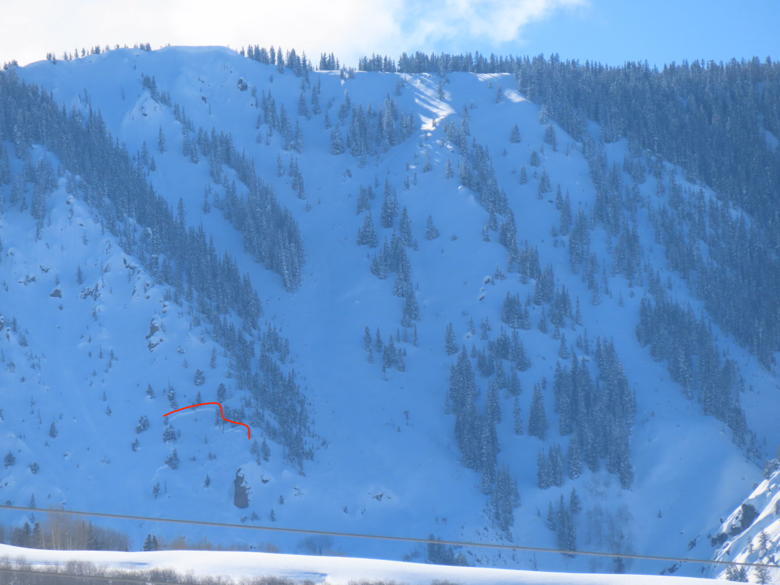
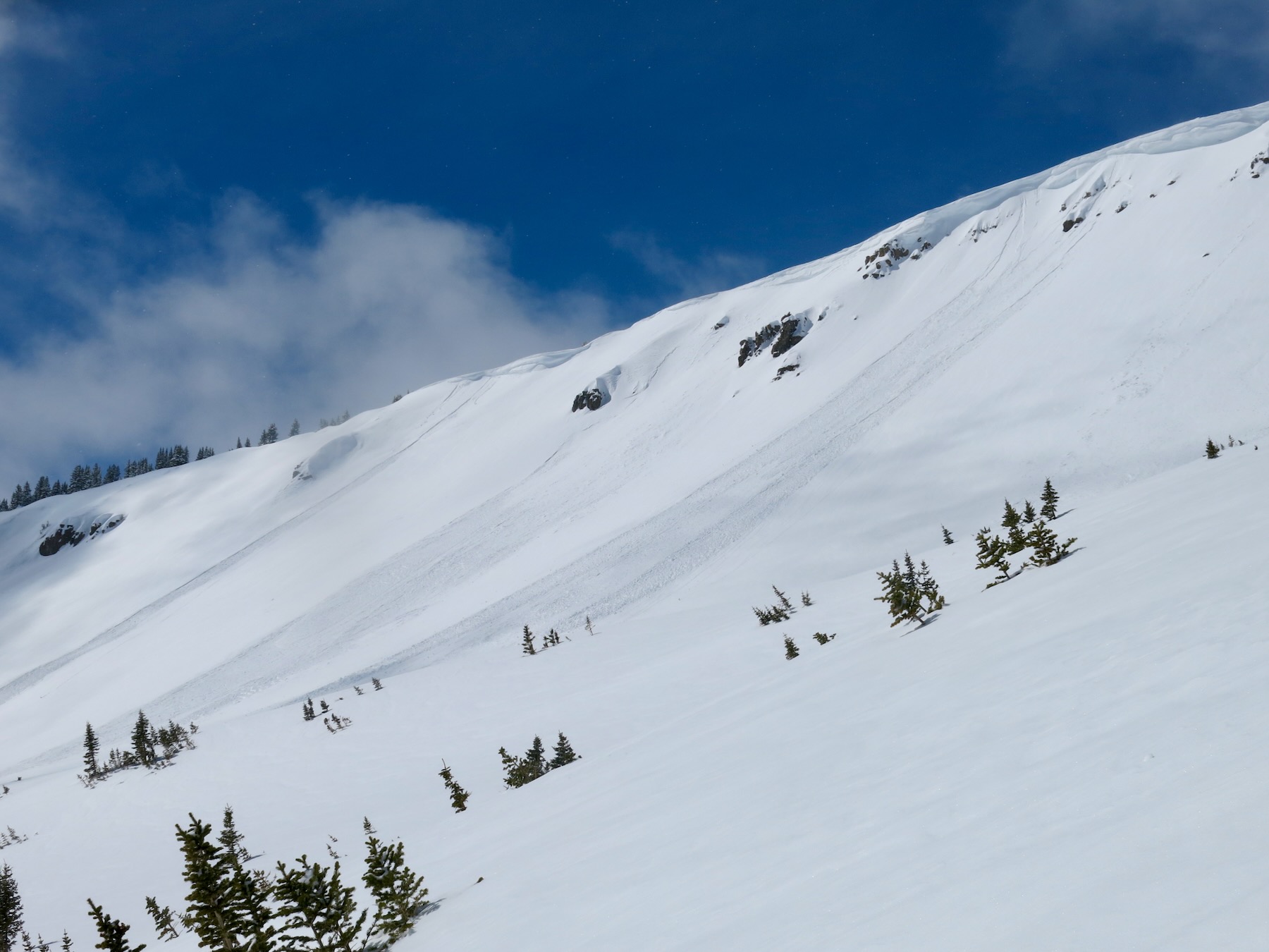
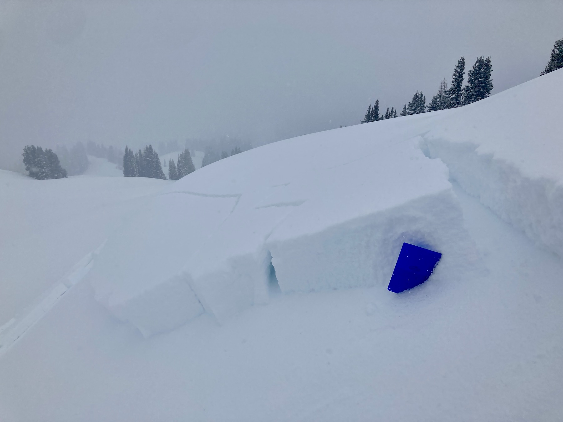
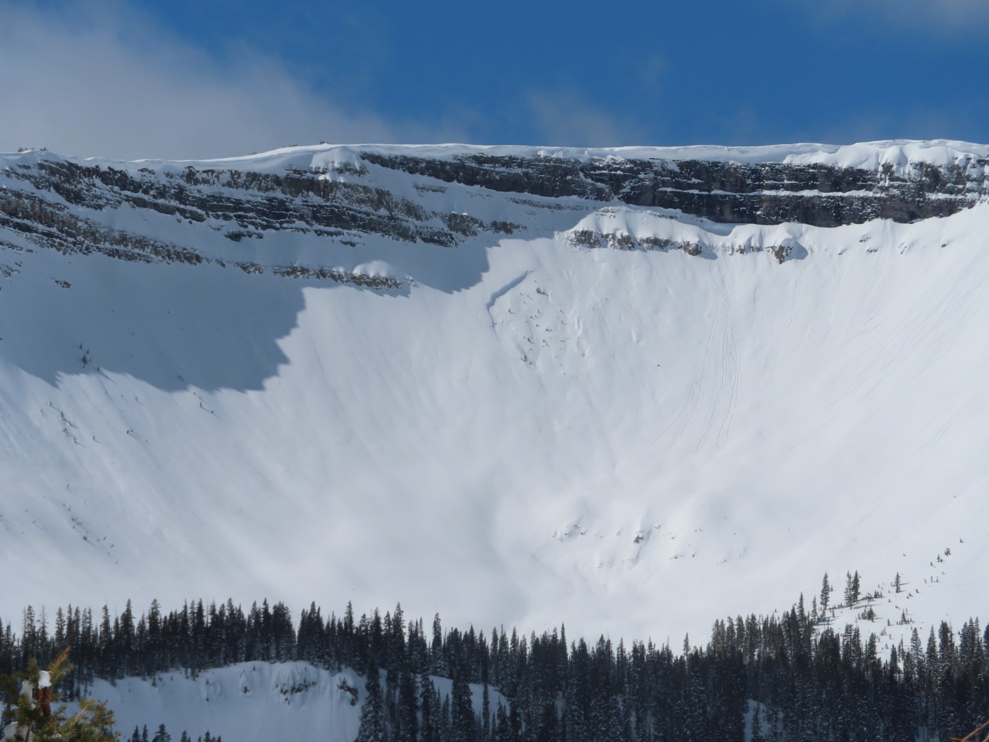
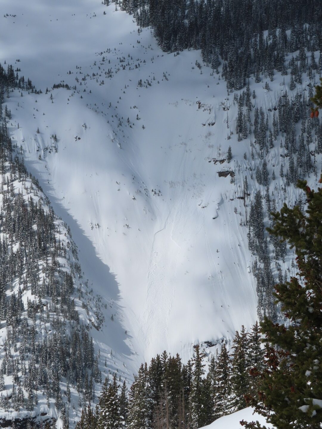
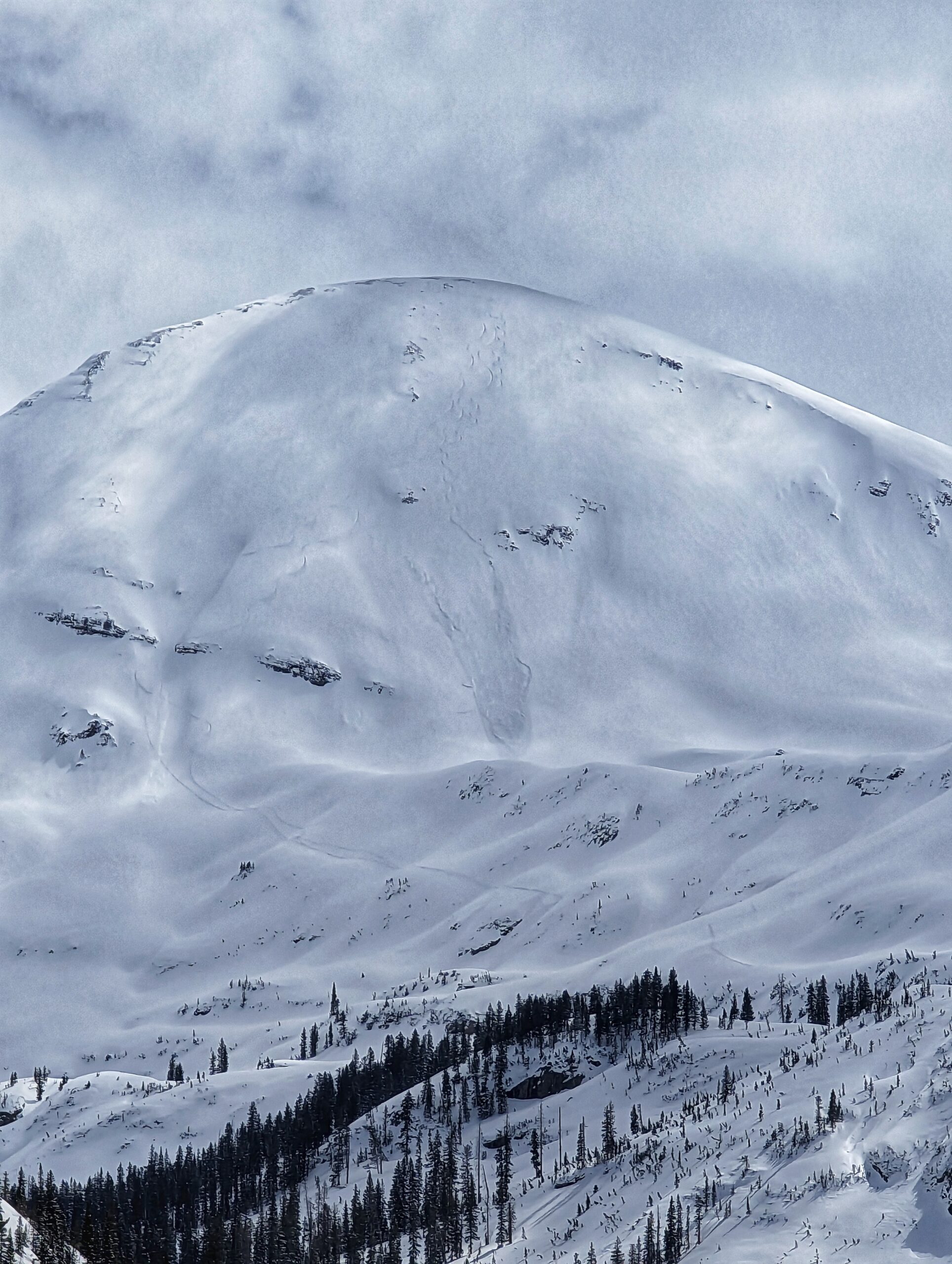
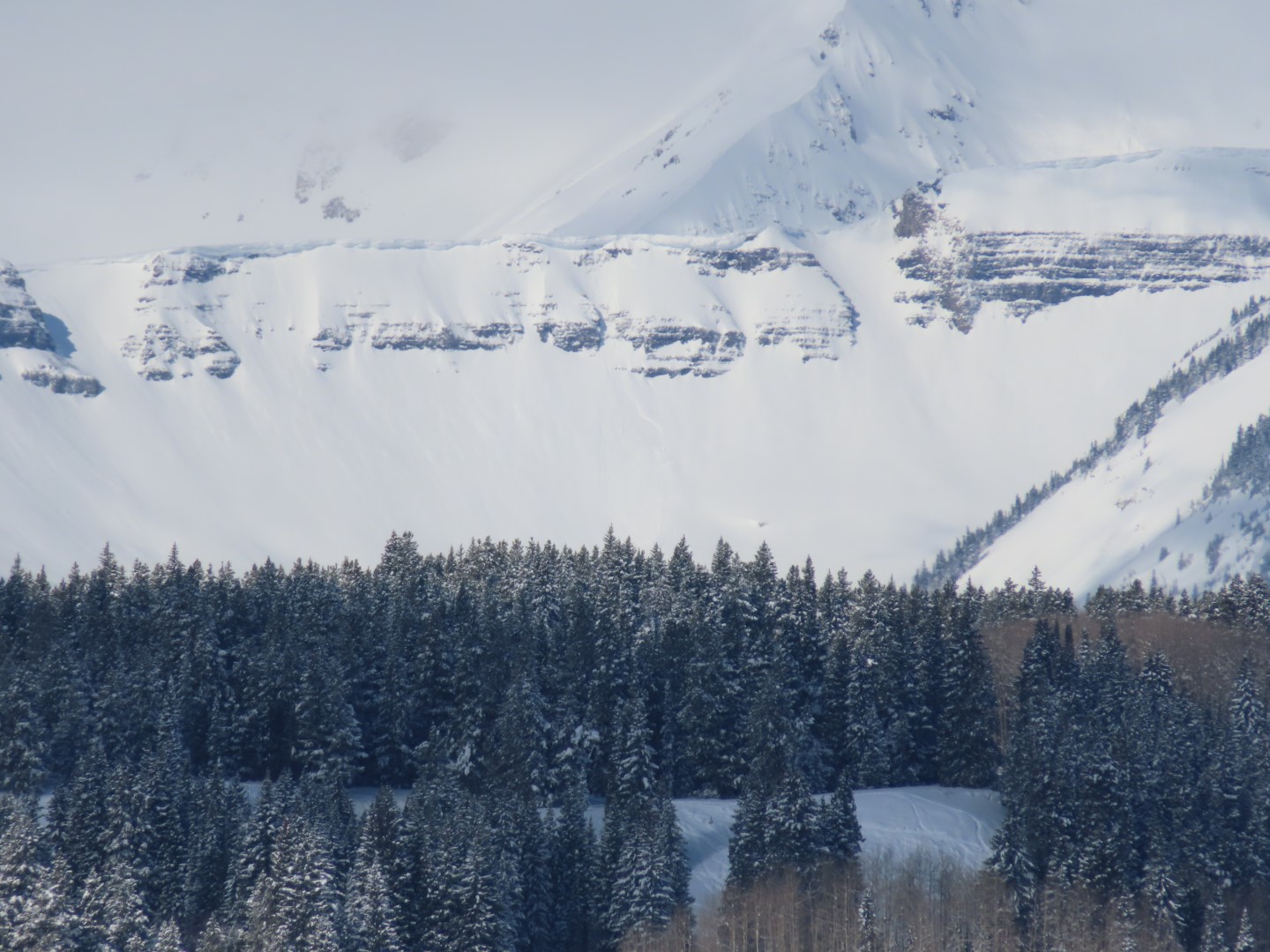
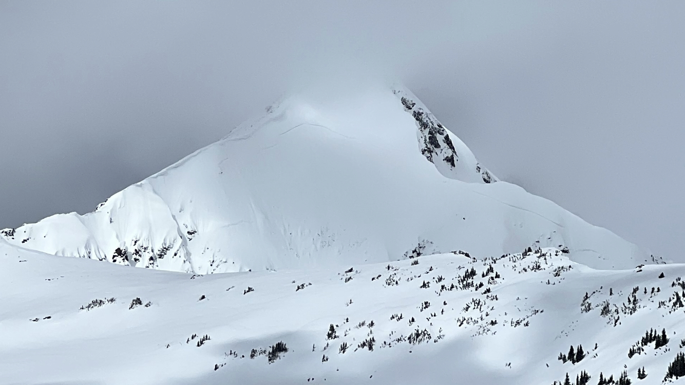
East, 11,600ft. This avalanche broke much wider to the left. Became large in size.
-

-
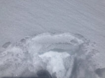
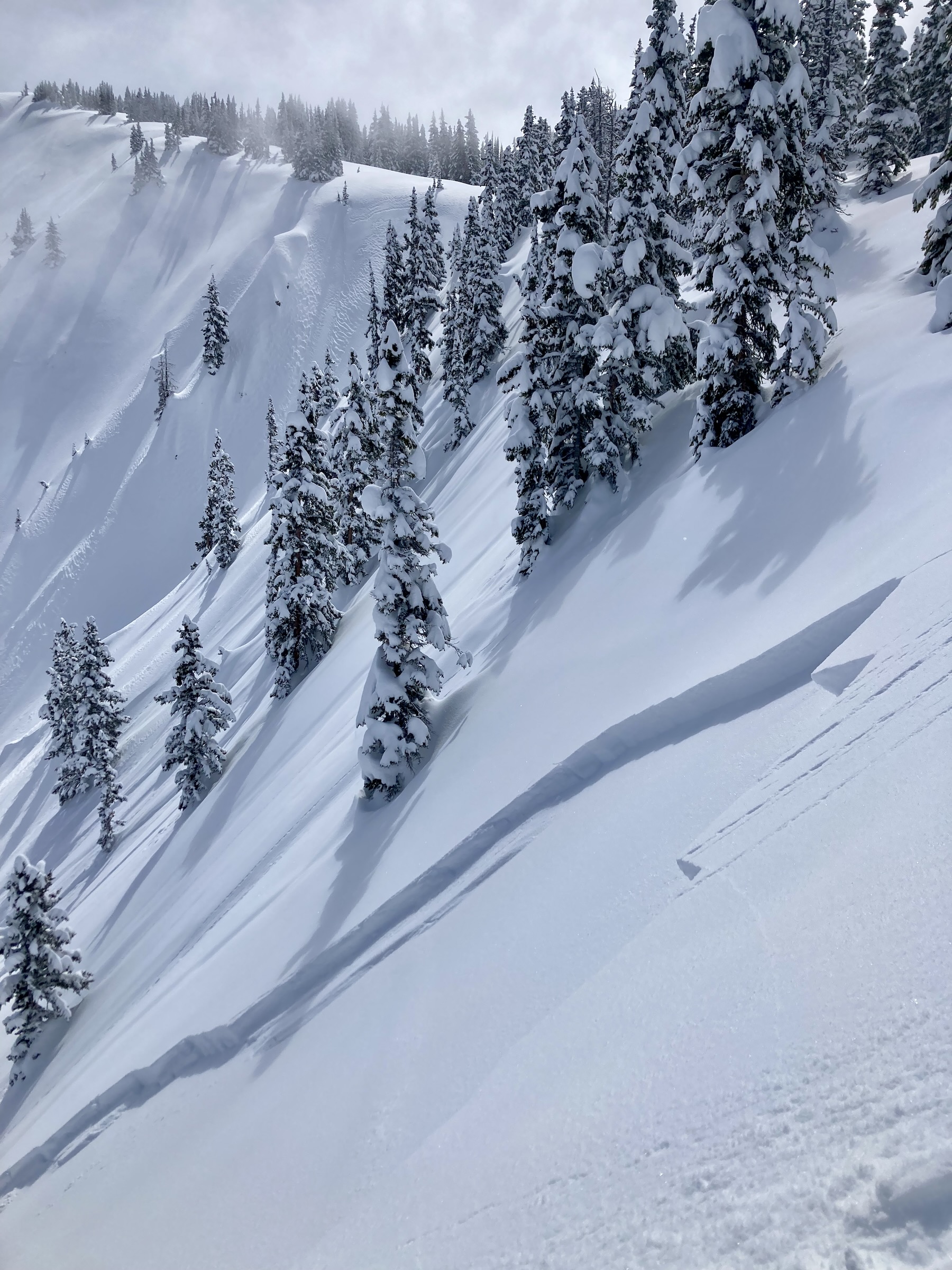
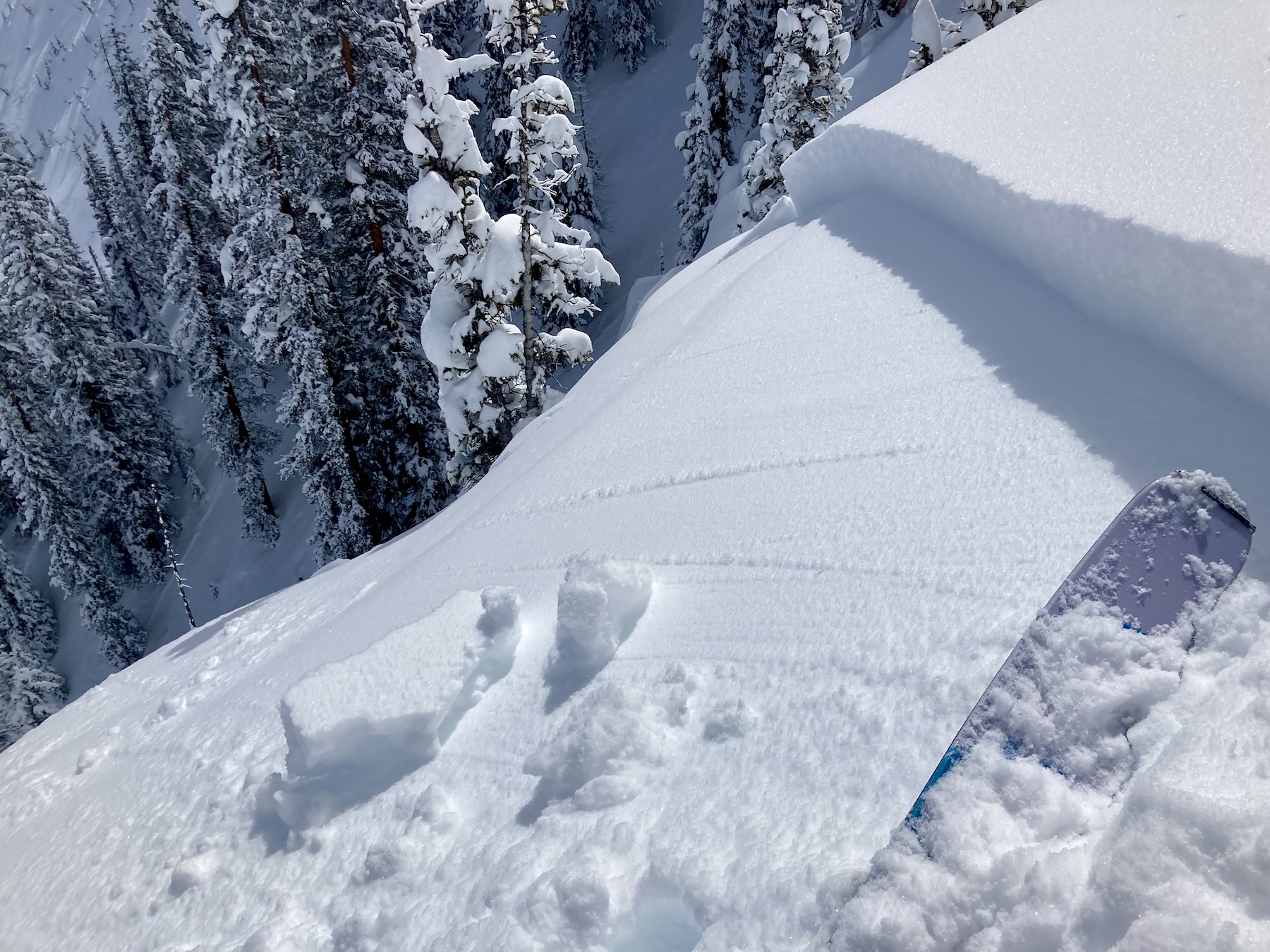
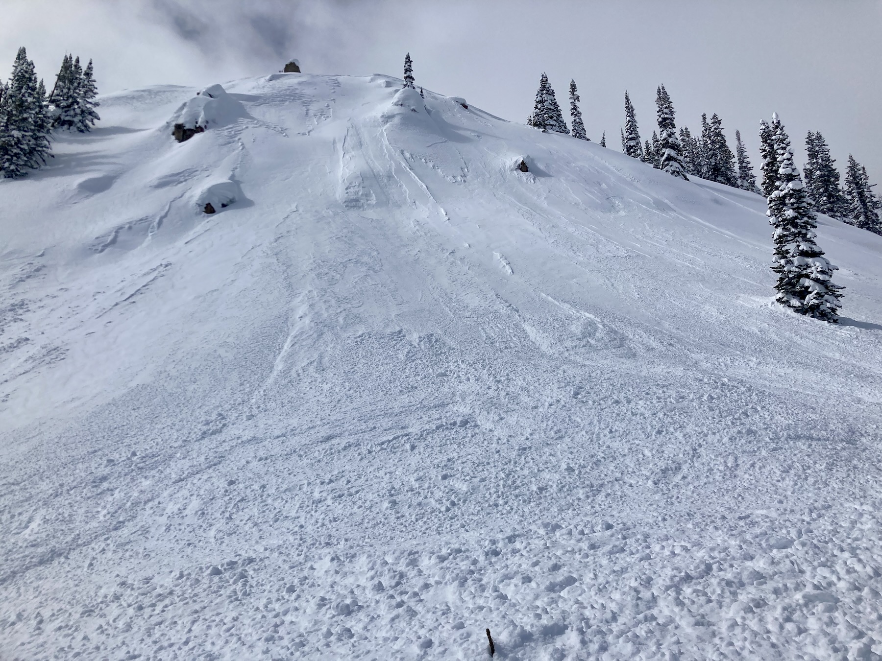
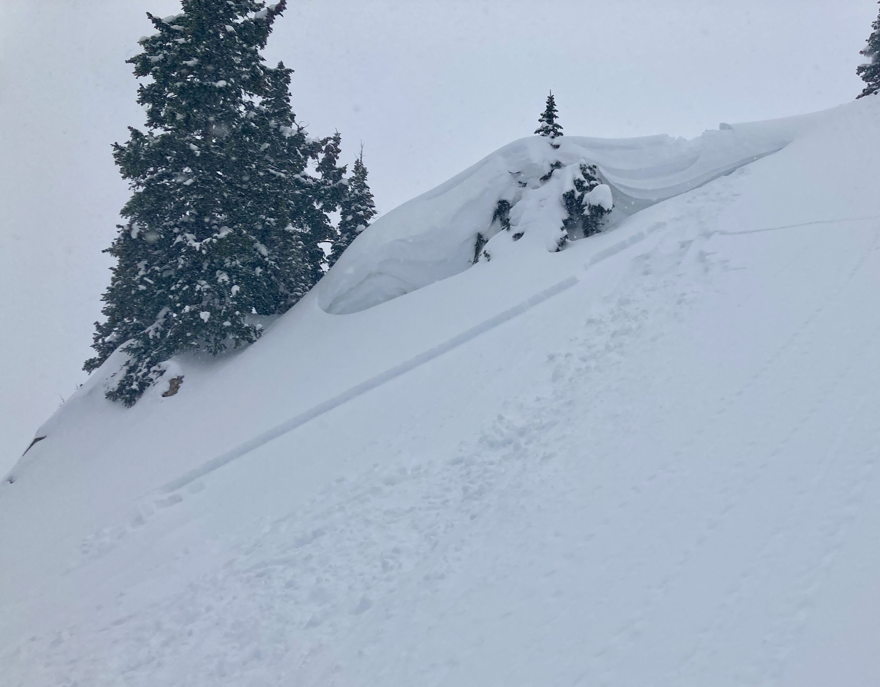
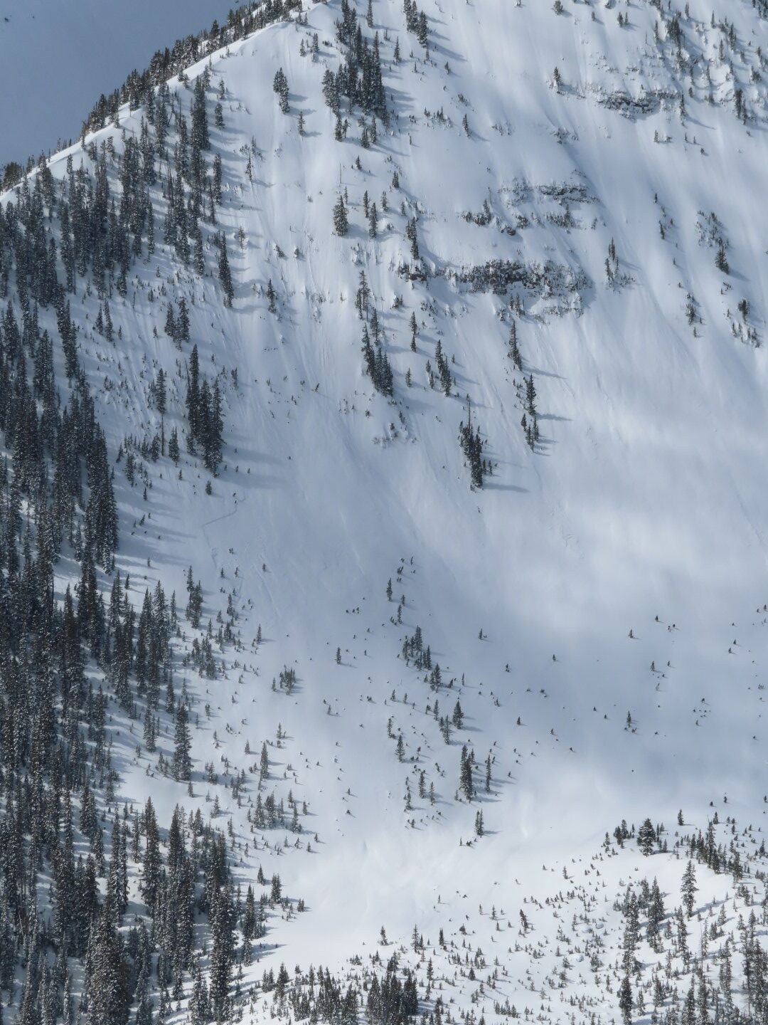
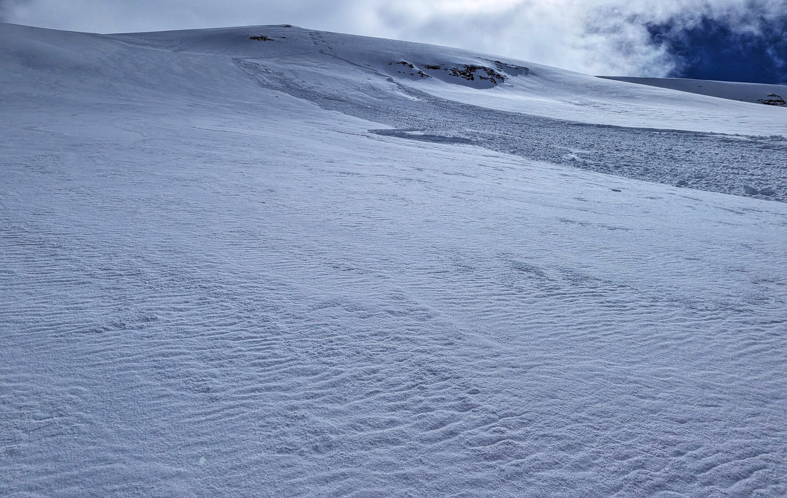
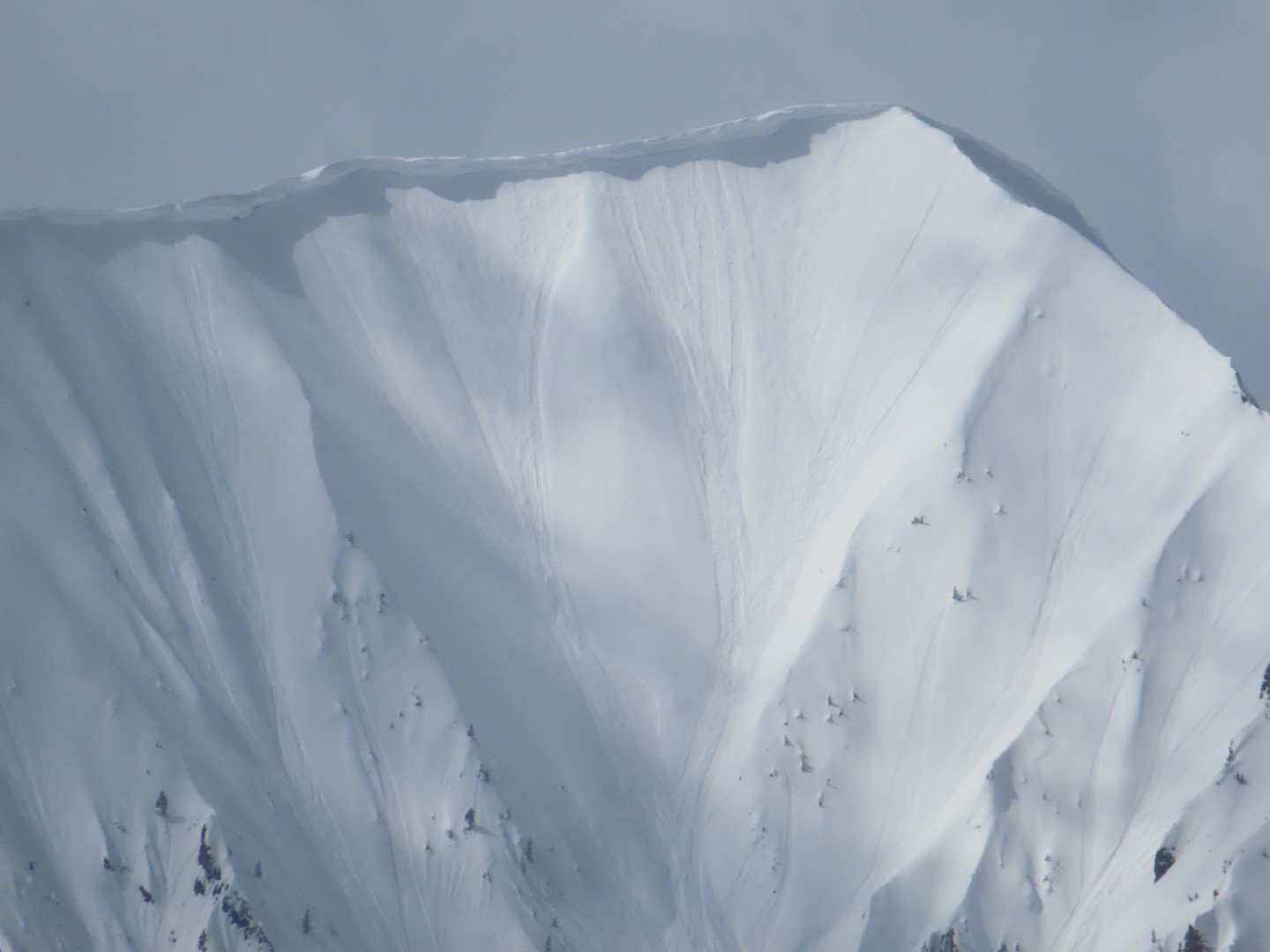
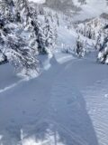
Small storm slab on a steep unsupported pillow.
-
-
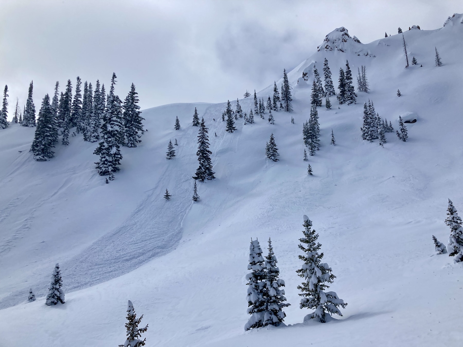
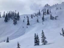
A sluff down a north facing slope.
-

-
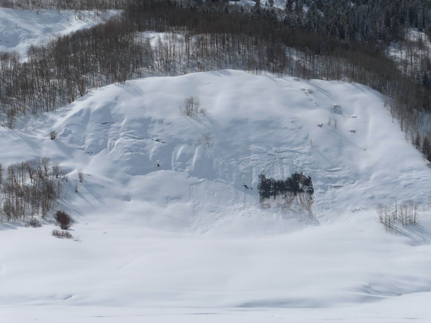
Loose wet avalanches. SE 12,000ft.
-

-
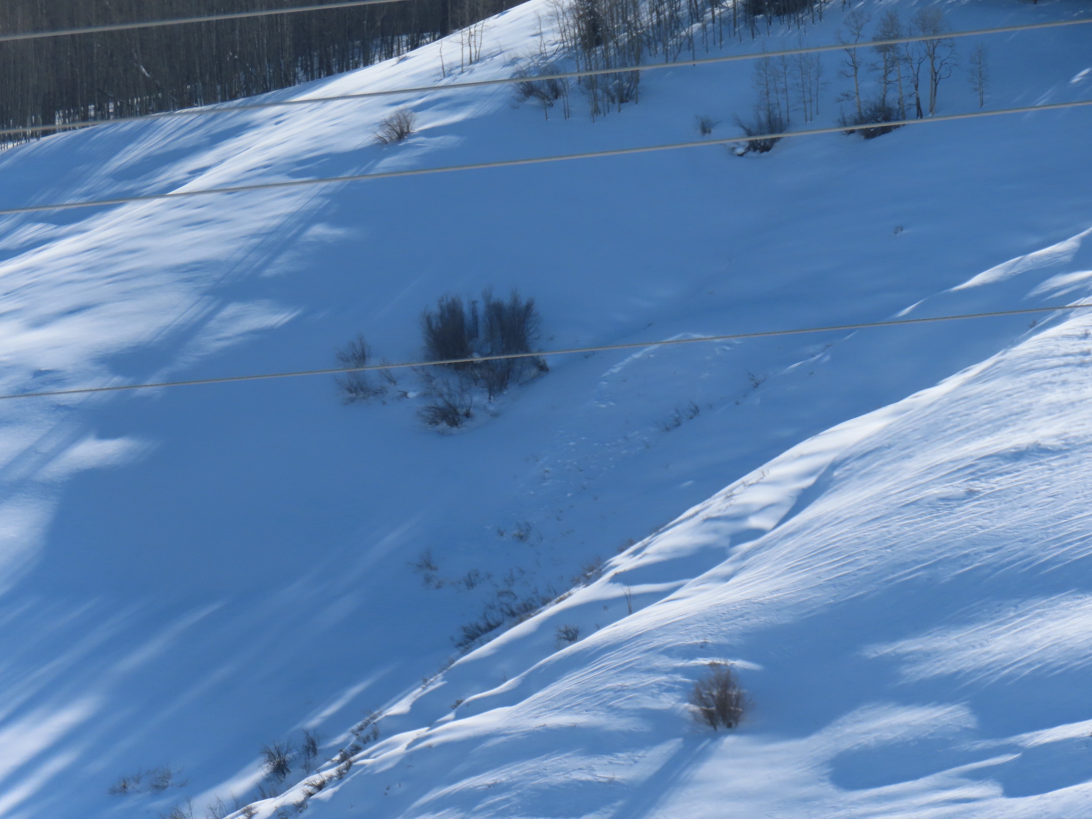
Small snowmobile triggered wind slab.
-
-
Small snowmobile triggered wind slab from below.
-

-
Another small snowmobile triggered wind slab.
-

-
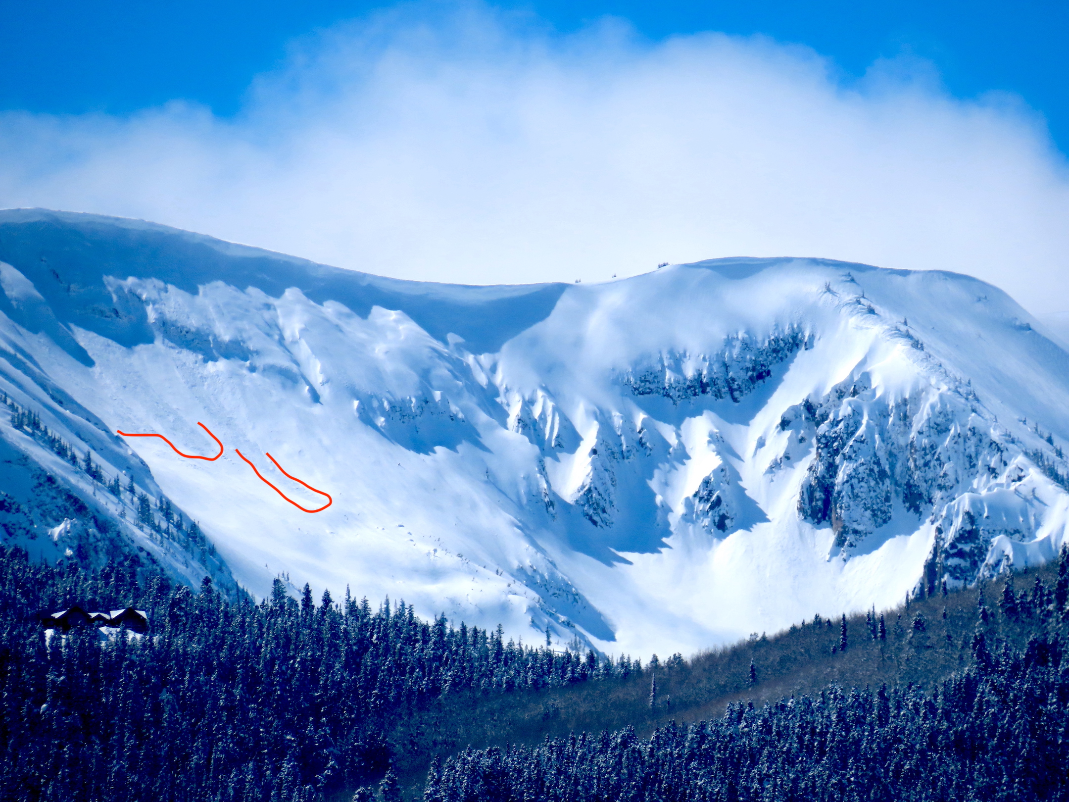
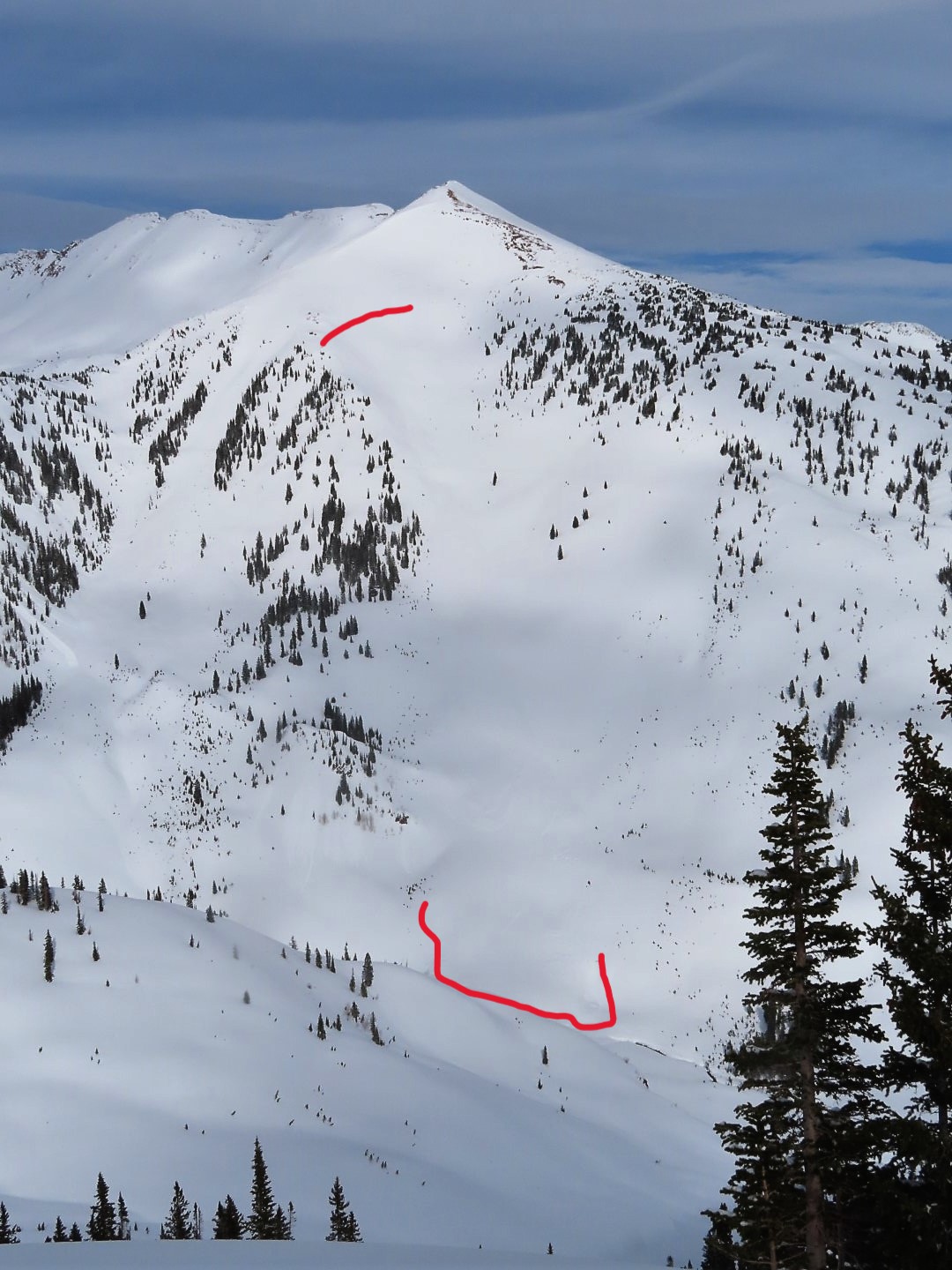
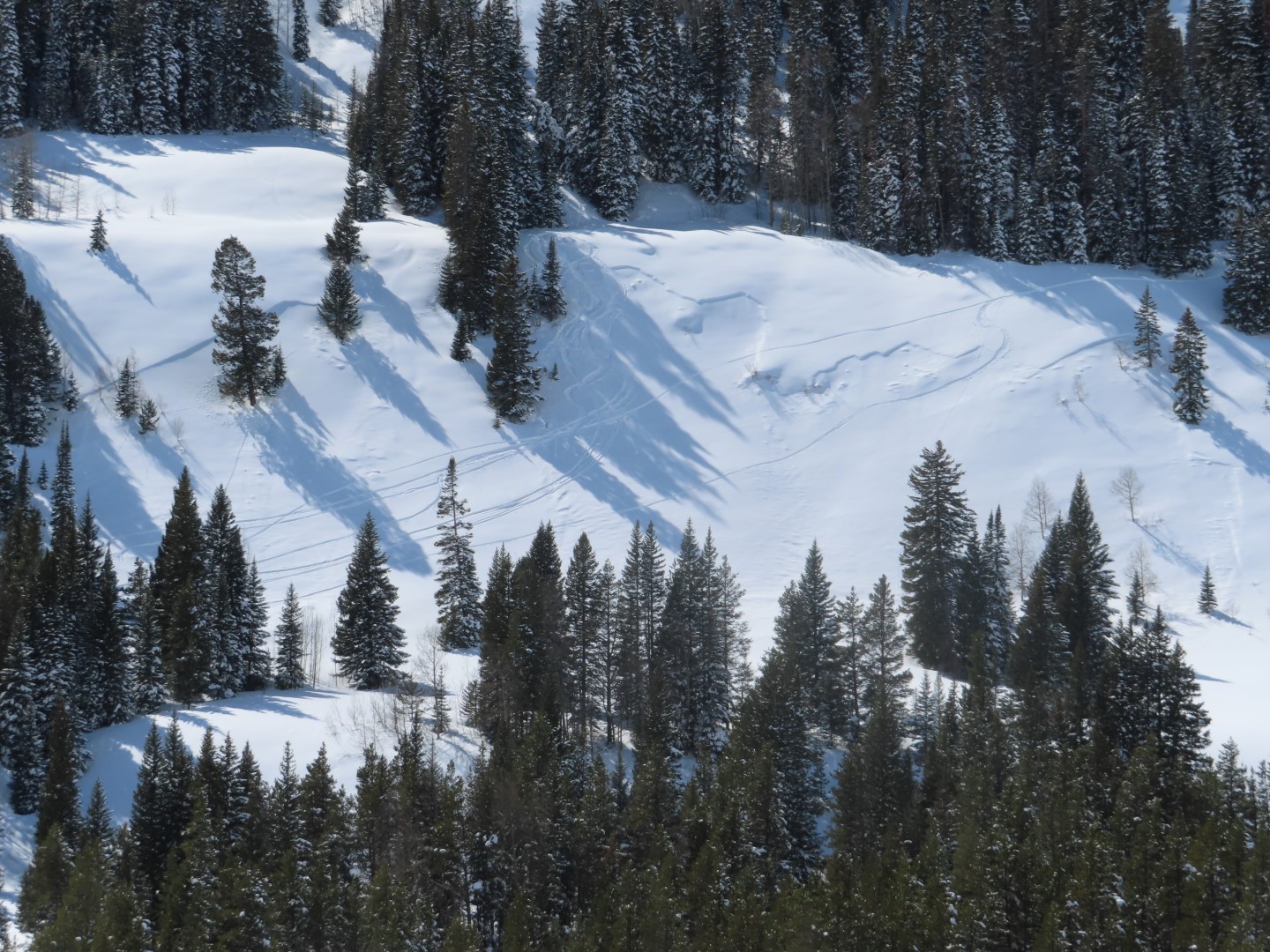
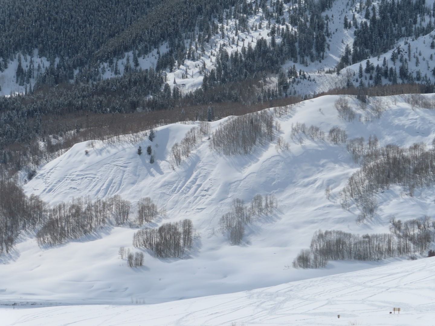
Old avalanche debris. East 10,800ft.
Estimated avalanche date: 03/16/2023
Number of Avalanches: 1
Location
Location: Mount Axtell
Location Specific:
Start Zone Elevation: NTL: Near Tree Line
Aspect: E
Characteristics
Trigger: Skier
Trigger modifier: Controlled
Type: Soft Slab
Failure Plane: New/Old interface
Size
Relative Size: R2 small
Destructive Size: D2 – could bury, injure, or kill a person
Avg. crown height (inches): 12
Avg. width (feet):
Avg. vertical run (feet):
Involvements
# of people caught:
# of partial burials:
# of full burials:
Additional comments: East on Mt Axtell: Skier triggered 3 storm slabs. 2 small slabs were triggered on steep, unsupported pillows and didn’t have much propagation. The most notable propagated fairly wide on another steep east-facing slope at 11,300ft. The slab was about 30cm deep, and the avalanche became large in size. These slabs released on very small facets sitting on the 3/15 interface.
Estimated avalanche date: 03/16/2023
Number of Avalanches: 2
Location
Location: Mount Axtell
Location Specific:
Start Zone Elevation: BTL: Below Tree Line
Aspect: E
Characteristics
Trigger: Skier
Trigger modifier: Controlled
Type: Soft Slab
Failure Plane: New/Old interface
Size
Relative Size: R1 very small
Destructive Size: D1- Relatively harmless to people
Avg. crown height (inches):
Avg. width (feet):
Avg. vertical run (feet):
Involvements
# of people caught:
# of partial burials:
# of full burials:
Additional comments:
Estimated avalanche date: 03/16/2023
Number of Avalanches: 2
Location
Location: Mount Emmons
Location Specific:
Start Zone Elevation: BTL: Below Tree Line
Aspect: E
Characteristics
Trigger: Snowmobiler
Trigger modifier: Controlled
Type: Soft Slab
Failure Plane: Within storm snow
Size
Relative Size: R1 very small
Destructive Size: D1- Relatively harmless to people
Avg. crown height (inches): 6
Avg. width (feet):
Avg. vertical run (feet):
Involvements
# of people caught:
# of partial burials:
# of full burials:
Additional comments: Stubborn wind slabs
6121