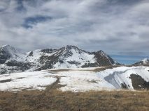
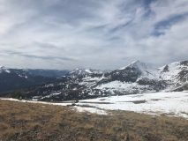
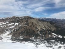
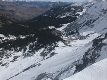
After our first big storm October 10th, we saw drier and warming weather return that melted most snow below 11,000ft on the southerly aspects, but the warmth wasn’t strong or long enough to melt away all the snow on west, north or east facing slopes. It cooked it into a dense, slick layer that will be problematic for future avalanches, but at the time, kept those skis above the sharp rocks below.
Snow and precipitation returned around October 24th bringing pretty impressive rainfall below 11,000ft and another slushy few inches above treeline.
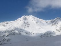
Now, most recently, we saw about 6” of “rightside up” snowfall on Halloween, starting wet, windy, and falling at around 30 degrees on the 30th, until overnight temperatures fell into the teens, leaving a fluffy finish and some people took advantage of that snow for some turns in the Kebler Pass area. However, a decent natural slab avalanche (size 1.5) was observed on the NE bowl of Mount Owen, failing within that new/old snow interface and running mid apron.
As the snow piles up, it will become increasingly likely to see avalanche conditions develop on slopes steeper than 30 degrees, on the northern half of the compass where the snowpack is deepest. That is the conundrum this time of year, looking for the deepest turns also means poking your nose into the most avalanche prone terrain.
As always, mind those sharky early season hazards and tread lightly! Don’t put a fork in your season before it begins. Please pass along any early season observations and remember, the Crested Butte area has seen a healthy dose of near misses and close calls with avalanches this time of year in the past.
Look for another update as conditions continue to develop and regular forecasts firing up later this month.
-Ian Havlick
- Mount Owen Slab avalanche if you zoom into apron.
- Photos taken October 29th
- Photos taken October 29th
- Photos taken October 29th
- Photos taken October 29th


